
1931 Map of Show Shoe
USGS Topo · Published 1931About this map
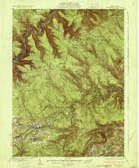
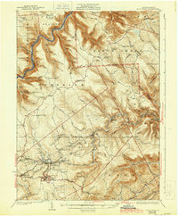
The West Branch Susquehanna River cuts a sharp, winding course through the northern reaches of this territory, where numerous forest camps like Bear Wallow Camp and Walnut Bottom Camp dot the remote landscape. This 1931 survey reveals a stark contrast between the uninhabited northern townships of East Keating and Noyes and the industrial activity centered in the south. The coal-mining economy is evident near Snow Shoe, where Mine No 26 and Mine No 25 are situated along the tracks of the Pennsylvania Railroad. The presence of small settlements like Clarence, Pancake, and Gillingtown, alongside rural institutions such as Voorman Sid Sch, illustrates the tight-knit communities that once supported the region's extraction industries. Transportation is defined by a singular State Highway and the rail network, which connects the isolated brick-making town of Orviston to the larger river valleys beyond.
Find a feature on this map
100 named features on this map. Tap any name to fly to it.
Don’t see what you’re looking for? This feature index may not catch every label — zoom into the map to look around manually.
Map Details
Editions of this 1931 Show Shoe Map
3 editions found
Other maps of this area

1908 · Bellefonte
USGS Topo · 1:62,500

1909 · Bellefonte
USGS Topo · 1:62,500

1921 · Howard
USGS Topo · 1:48,000

1922 · Philipsburg
USGS Topo · 1:62,500

1923 · Howard
USGS Topo · 1:62,500

1924 · Centre Hall
USGS Topo · 1:62,500

1928 · Snow Shoe
USGS Topo · 1:48,000

1929 · Centre Hall
USGS Topo · 1:62,500

1929 · Karthaus
USGS Topo · 1:62,500

1932 · Karthaus
USGS Topo · 1:62,500