
1922 Map of Philipsburg
USGS Topo · Published 1922About this map
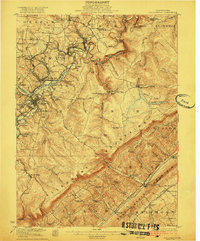
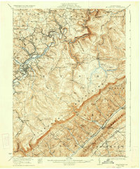
Philipsburg stands as a central industrial and transport hub in this 1920s survey, surrounded by a landscape defined by extractive industry and a dense network of country schools. The northern reaches show an intensive mining footprint, from the Cuba Mines near Chester Hill to the Rich Hill Mine and the specialized Buck Creek Clay Mine in the Allegheny Mountains. Transport is dominated by the Central RR of Pennsylvania and the New York Central RR, which follow the winding path of Moshannon Creek, while an Electric Ry connects the core settlements.
Find a feature on this map
114 named features on this map. Tap any name to fly to it.
Don’t see what you’re looking for? This feature index may not catch every label — zoom into the map to look around manually.
Map Details
Editions of this 1922 Philipsburg Map
3 editions found
Other maps of this area

1903 · Houtzdale
USGS Topo · 1:62,500

1905 · Houtzdale
USGS Topo · 1:62,500

1908 · Bellefonte
USGS Topo · 1:62,500

1909 · Bellefonte
USGS Topo · 1:62,500

1919 · Menno
USGS Topo · 1:62,500

1920 · Altoona
USGS Topo · 1:62,500

1922 · Altoona
USGS Topo · 1:62,500

1923 · Tyrone
USGS Topo · 1:62,500

1928 · Snow Shoe
USGS Topo · 1:48,000

1929 · Tyrone
USGS Topo · 1:48,000