
1928 Map of Snow Shoe
USGS Topo · Published 1928About this map
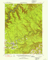
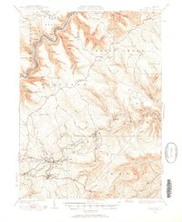
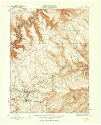
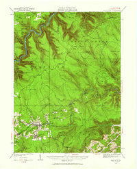
West Branch of the Susquehanna River cuts through the northern reaches of this territory, where early 20th-century life centered on coal extraction and forest camps. In the southern portion, the communities of Snow Shoe and Clarence are established along the Pennsylvania RR, which supported the region's industrial growth. Numerous active workings like Mine No 28 and Mine No 24 indicate the dominance of the mining economy during the late 1920s.
Find a feature on this map
88 named features on this map. Tap any name to fly to it.
Don’t see what you’re looking for? This feature index may not catch every label — zoom into the map to look around manually.
Map Details
Editions of this 1928 Snow Shoe Map
5 editions found
Other maps of this area

1908 · Bellefonte
USGS Topo · 1:62,500

1909 · Bellefonte
USGS Topo · 1:62,500

1921 · Howard
USGS Topo · 1:48,000

1922 · Philipsburg
USGS Topo · 1:62,500

1923 · Howard
USGS Topo · 1:62,500

1924 · Centre Hall
USGS Topo · 1:62,500

1929 · Centre Hall
USGS Topo · 1:62,500

1929 · Karthaus
USGS Topo · 1:62,500

1931 · Show Shoe
USGS Topo · 1:62,500

1932 · Karthaus
USGS Topo · 1:62,500