Old Maps of Gallagher Township, Pennsylvania for Genealogy
Trace your family roots with 39 historic maps of Gallagher Township. These high-res maps reveal old neighborhoods, homesites, landmarks, and streets — helping you uncover where your ancestors lived and how the area evolved over time.
- Explore historic neighborhoods: Identify where your relatives may have lived in the 1800s or 1900s.
- Compare maps over time: Trace the changes in streets, buildings, and landmarks for multi-generational research.
- Perfect for genealogy & ancestry research: Used by family historians and researchers to map out lineage and migration.
These maps are an incredible resource for exploring your personal connection to Gallagher Township's past.
Gallagher Township, PA maps
(39)- 1921 Map of Lock Haven, 1958 Print
 1921 Lock Haven1958 Print · USGSLock Haven and the Susquehanna River West Branch are captured in the early twenties, showing a landscape defined by industry and mountain ridges. Researchers can trace historic schools and family hamlets from Woolrich to Logan Mills, or locate the State Normal School and Great Island.2 unique versions available
 - 1923 Map of Lock Haven
 1923 Lock Haven1923 Print · USGSThe West Branch Susquehanna River corridor in the early twenties reveals a landscape of industrial river towns and isolated mountain valleys. Genealogists can locate family landmarks like the Swissdale School, Liberty Church, and the grounds of the State Normal School.7 unique versions available
 - 1937 Map of Waterville
 1937 Waterville1937 Print · USGSThe Pine Creek valley and its logging railroad corridors come alive in this late 1930s survey of Lycoming County. Researchers can trace the era of the Civilian Conservation Corps at CCC Camp No 129 or locate family roots at English Center, Cammal, and Okome.5 unique versions available
 - 1943 Map of Hyner
 1943 Hyner1943 Print · USGSIn the central Pennsylvania highlands during the mid-1940s, the river and rail lines dictated the life of the valley. Researchers can trace the industrial corridor from Renovo Boro to remote outposts like Slate Run and Young Womanstown.
 - 1943 Map of Waterville
 1943 Waterville1943 Print · USGSLycoming County mountain life in the early 1940s centers on the river junctions and rail sidings of the Pine Creek valley. Genealogists and hikers can trace old routes like the Silver Springs Road or find forgotten sites like Ross Siding, Carsontown, and Springer Sch.3 unique versions available
 - 1944 Map of Lock Haven
 1944 Lock Haven1944 Print · USGSClinton County during the mid-forties shows a landscape defined by the river-and-rail economy and its transition to early aviation. Genealogists can trace family names at rural sites like Gravel Hill School, Fairpoint Church, and the industrial village of Woolrich.
 - 1946 Map of Renovo East, 1953 Print
 1946 Renovo East1953 Print · USGSThe industrial corridor of the West Branch Susquehanna River is seen here in the mid-1940s, showing the critical rail infrastructure of the Pennsylvania railroad. Genealogists can trace family sites in Gleasonton or Farwell and locate the St Josephs Cem.3 unique versions available
 - 1946 Map of Glen Union, 1964 Print
 1946 Glen Union1964 Print · USGSThe West Branch Susquehanna River valley in the mid-1940s reveals a landscape of isolated river settlements and steep timbered hollows. Genealogists and historians can trace the early footprints of Glen Union, Whetham, and the Whetham Fire Tower along the river's winding course.5 unique versions available
 - 1948 Map of Glen Union
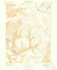 1948 Glen Union1948 Print · USGSClinton County's river valley and high plateau country are shown in detail here just after the war. Local researchers can locate isolated river settlements like Whetham and Glen Union or trace the winding path of the Bucktail Trail and the Whetham Fire Tower.2 unique versions available
 - 1954 Map of Williamsport
 1954 Williamsport1954 Print · USGSNorth-central Pennsylvania in the mid-fifties is defined by the winding West Branch Susquehanna River and its industrial valley. Local historians can trace the massive Susquehanna Ordnance Depot and the extensive rail networks of the Pennsylvania Railroad.
 - 1960 Map of Williamsport
 1960 Williamsport1960 Print · USGSNorth-central Pennsylvania in the mid-twentieth century was a vital corridor of rail and river industry stretching from the New York line to the coal regions. Genealogists can trace the rail networks of the Pennsylvania RR and Lehigh Valley RR connecting towns like Williamsport, Towanda, and Lock Haven.
 - 1962 Map of Williamsport, 1966 Print
 1962 Williamsport1966 Print · USGSNorth-central Pennsylvania was a landscape of industrial river hubs and vast state woodlands in the early sixties. Researchers can trace the path of the Pennsylvania Railroad through Williamsport and explore the remote reaches of Bucktail State Park.5 unique versions available
 - 1965 Map of Williamsport
 1965 Williamsport1965 Print · USGSNorth-central Pennsylvania in the mid-1960s is defined by the industrial river towns and vast timberlands of the Allegheny Plateau. Researchers can trace historic rail lines like the Erie Lackawanna and Reading as they thread through Williamsport, Lock Haven, and Jersey Shore.
 - 1965 Map of Jersey Shore, 1967 Print
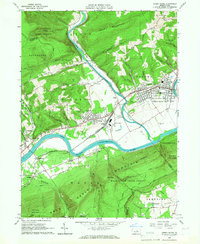 1965 Jersey Shore1967 Print · USGSThe river-and-rail corridor near Jersey Shore is captured here in the mid-1960s, showing the intersection of heavy industry and state forest lands. Researchers can trace the New York Central through Avis Yard or locate family sites at Garman Ch and Jersey Shore Cemetery.4 unique versions available
 - 1965 Map of Jersey Mills, 1967 Print
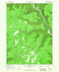 1965 Jersey Mills1967 Print · USGSLycoming and Clinton Counties are shown in the mid-sixties as timber and rail defined life along the river. Researchers can trace the New York Central line through the Pine Creek Gorge and find family landmarks like Haneyville Ch and Springer Corners.3 unique versions available
 - 1965 Map of Lock Haven, 1967 Print
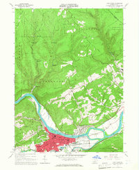 1965 Lock Haven1967 Print · USGSLock Haven and its surrounding river valley are captured here in the mid-sixties, showing a landscape shaped by rail, river, and academia. Researchers can trace the Pennsylvania Canal, find family plots at St Marys Cem, or locate the campus of Lock Haven State College.5 unique versions available
 - 1966 Map of Williamsport
 1966 Williamsport1966 Print · USGSThe Susquehanna Valley was a hub of transit and industry in the mid-seventies, where the river's West Branch connected major college towns and timberlands. Researchers can trace historical rail lines like the Reading or locate regional landmarks from Jersey Shore to Ricketts Glen State Park.
 - 1984 Map of Williamsport West, 1985 Print
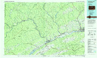 1984 Williamsport West1985 Print · USGSCentral Pennsylvania in the mid-eighties was a landscape of dense state forests and industrious river towns along the West Branch Susquehanna River. Trace the rail lines of Conrail through Renovo or locate the historic grounds of Lock Haven State College.2 unique versions available
 - 1994 Map of Jersey Shore, 1999 Print
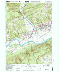 1994 Jersey Shore1999 Print · USGSJersey Shore and the Susquehanna river valley are captured here in the 1990s as the region's rail and timber legacy remains etched in the terrain. Genealogists and local historians can trace landmarks like Jersey Shore Cemetery, McElhattan, and the South Avis Sch.
 - 2010 Map of Jersey Mills, 2010 Print
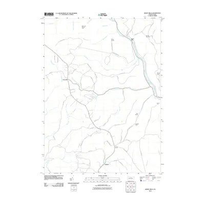 2010 Jersey Mills2010 Print · USGSThe mountain terrain of Gallagher Township and the Pine Creek corridor are shown in this modern survey. Researchers can trace remote trails and landmarks such as the Waterville Lookout Tower, Haneyville, and the Miller Run Natural Area.
 - 2010 Map of Glen Union, 2010 Print
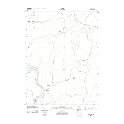 2010 Glen Union2010 Print · USGSThe West Branch Susquehanna River valley and its high plateaus are documented here in the early twenty-first century. Genealogists and local historians can locate small river settlements like Whetham and Glen Union or trace mountain landmarks like Ponderosa Airport and Hyner View.
 - 2010 Map of Jersey Shore, 2010 Print
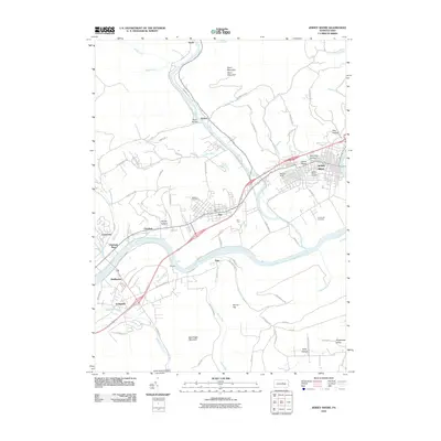 2010 Jersey Shore2010 Print · USGSNear the confluence of Pine Creek and the Susquehanna, this area was a vital rail and river hub at the turn of the millennium. Researchers can trace local lineage through Jersey Shore Cemetery or explore industrial roots at the Avis Yard and McElhattan.
 - 2010 Map of Lock Haven, 2010 Print
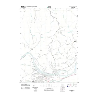 2010 Lock Haven2010 Print · USGSLock Haven and the Susquehanna River valley are captured in detail during the first decade of the 2000s. Researchers can trace local genealogy and landmarks across Highland Cemetery, the Lock Haven University of Pennsylvania, and the grounds of WT Piper Memorial Airport.
 - 2013 Map of Jersey Shore, 2013 Print
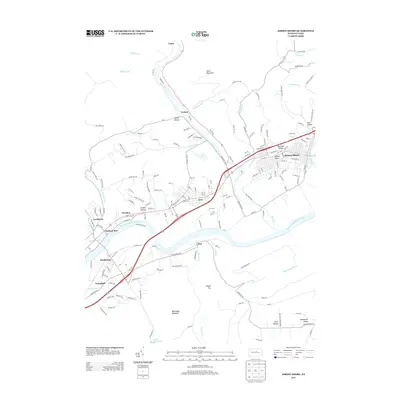 2013 Jersey Shore2013 Print · USGSLycoming County at the start of the 2010s reveals a landscape where river industry and mountain geography meet along the West Br Susquehanna River. Researchers can trace the rail footprint of Avis Yard and locate family-named features like Dennison Hollow and Kyler Hollow.
 - 2013 Map of Glen Union, 2013 Print
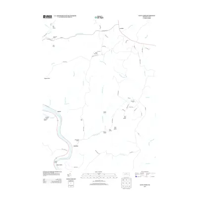 2013 Glen Union2013 Print · USGSClinton County is characterized by its steep river valleys and narrow hollows during the early twenty-first century. Genealogists and hikers can trace the winding West Br Susquehanna River to old riverfront sites like Whetham and Glen Union.
Showing maps 1-25 of 39
Top cities near Gallagher Township
- Lock Haven historical maps
- Jersey Shore historical maps
- Mill Hall historical maps
- Avis historical maps
- Flemington historical maps
- Castanea Township historical maps
See more
Frequently asked questions
- What are the different types of historical maps available for Gallagher Township?
- What is the oldest map of Gallagher Township?
- Where can I purchase historical maps of Gallagher Township for my home or office?
- Where can I download high-res historical maps of Gallagher Township?
- Are there historical topographic maps available for Gallagher Township?
- Is there historical aerial imagery available for Gallagher Township?
- Where are historical maps of Gallagher Township sourced from?