Old Maps of Lamar Township, Pennsylvania for Metal Detecting
Plan your next treasure hunt with 30 historic maps of Lamar Township. Find old homesites, ghost towns, trails, and gathering spots that may be lost to time — perfect for identifying promising metal detecting locations.
- Locate forgotten sites: Uncover places like long-lost settlements, abandoned rail lines, or gathering spots.
- Plan better hunts: Use map overlays combined with LiDAR or satellite views to narrow in on historically rich areas.
- Made for detectorists: Thousands of hobbyists use these maps to discover relics, coins, and hidden history.
Use these historic maps to boost your research and find new opportunities beneath the surface of Lamar Township.
Lamar Township, PA maps
(30)- 1921 Map of Howard
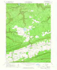
 1921 Howard1921 Print · USGSThe valleys and ridges of Central Pennsylvania are captured here just as the rail-and-river economy was maturing. Researchers can trace family sites among a high density of rural schools and churches like Cedar Spring School, Hunter Run Church, and the town of Lamar.3 unique versions available
 - 1921 Map of Lock Haven, 1958 Print
 1921 Lock Haven1958 Print · USGSLock Haven and the Susquehanna River West Branch are captured in the early twenties, showing a landscape defined by industry and mountain ridges. Researchers can trace historic schools and family hamlets from Woolrich to Logan Mills, or locate the State Normal School and Great Island.2 unique versions available
 - 1923 Map of Howard
 1923 Howard1923 Print · USGSThe valleys of Clinton and Center counties were bustling with rural life in the 1920s as the rail and river economy matured. Genealogists can locate over a dozen local schoolhouses like Wagner School and trace the paths of the Pennsylvania Railroad and Beech Creek Sta.6 unique versions available
 - 1923 Map of Lock Haven
 1923 Lock Haven1923 Print · USGSThe West Branch Susquehanna River corridor in the early twenties reveals a landscape of industrial river towns and isolated mountain valleys. Genealogists can locate family landmarks like the Swissdale School, Liberty Church, and the grounds of the State Normal School.7 unique versions available
 - 1944 Map of Lock Haven
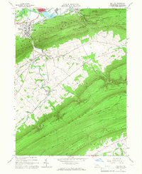
 1944 Lock Haven1944 Print · USGSClinton County during the mid-forties shows a landscape defined by the river-and-rail economy and its transition to early aviation. Genealogists can trace family names at rural sites like Gravel Hill School, Fairpoint Church, and the industrial village of Woolrich.
 - 1954 Map of Williamsport
 1954 Williamsport1954 Print · USGSNorth-central Pennsylvania in the mid-fifties is defined by the winding West Branch Susquehanna River and its industrial valley. Local historians can trace the massive Susquehanna Ordnance Depot and the extensive rail networks of the Pennsylvania Railroad.
 - 1960 Map of Williamsport
 1960 Williamsport1960 Print · USGSNorth-central Pennsylvania in the mid-twentieth century was a vital corridor of rail and river industry stretching from the New York line to the coal regions. Genealogists can trace the rail networks of the Pennsylvania RR and Lehigh Valley RR connecting towns like Williamsport, Towanda, and Lock Haven.
 - 1962 Map of Williamsport, 1966 Print
 1962 Williamsport1966 Print · USGSNorth-central Pennsylvania was a landscape of industrial river hubs and vast state woodlands in the early sixties. Researchers can trace the path of the Pennsylvania Railroad through Williamsport and explore the remote reaches of Bucktail State Park.5 unique versions available
 - 1965 Map of Williamsport
 1965 Williamsport1965 Print · USGSNorth-central Pennsylvania in the mid-1960s is defined by the industrial river towns and vast timberlands of the Allegheny Plateau. Researchers can trace historic rail lines like the Erie Lackawanna and Reading as they thread through Williamsport, Lock Haven, and Jersey Shore.
 - 1965 Map of Loganton, 1966 Print
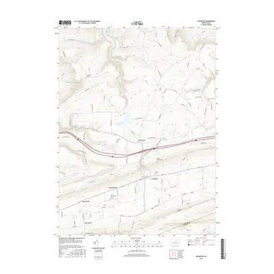
 1965 Loganton1966 Print · USGSCentral Pennsylvania's isolated Sugar Valley is seen here in the mid-1960s, showing a string of agricultural hamlets between forested ridges. Genealogists can locate family sites at Booneville, Greenburr, and the Old Schracktown Cem.3 unique versions available
 - 1965 Map of Mill Hall, 1966 Print
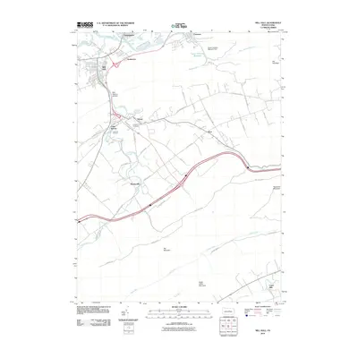
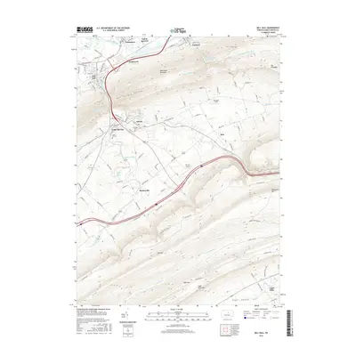
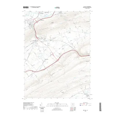
 1965 Mill Hall1966 Print · USGSCentral Pennsylvania’s valley and ridge landscape is captured here in the mid-1960s, showing a mix of industrial hubs and remote state forest. Trace local roots in Mill Hall, Salona, or Mackeyville, and locate family sites like Cedar Hill Cem and the Lamar Sch.3 unique versions available
 - 1966 Map of Williamsport
 1966 Williamsport1966 Print · USGSThe Susquehanna Valley was a hub of transit and industry in the mid-seventies, where the river's West Branch connected major college towns and timberlands. Researchers can trace historical rail lines like the Reading or locate regional landmarks from Jersey Shore to Ricketts Glen State Park.
 - 1967 Map of Beech Creek, 1968 Print
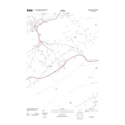
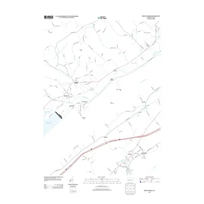
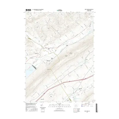
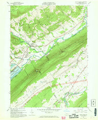 1967 Beech Creek1968 Print · USGSClinton and Centre counties are captured in the late sixties during the creation of the Blanchard Reservoir. Genealogists and historians can trace family plots at Hays-Fearon Cem and explore community landmarks like Beech Creek Station and Liberty Ch.3 unique versions available
 - 1977 Map of Beech Creek, 1979 Print
 1977 Beech Creek1979 Print · USGSClinton County land use and valley settlement are captured in this late 1970s aerial survey just as the rural landscape was maturing. Researchers can trace the exact field boundaries and homestead locations near Beech Creek and under the shadow of Bald Eagle Mountain.
 - 1984 Map of Williamsport West, 1985 Print
 1984 Williamsport West1985 Print · USGSCentral Pennsylvania in the mid-eighties was a landscape of dense state forests and industrious river towns along the West Branch Susquehanna River. Trace the rail lines of Conrail through Renovo or locate the historic grounds of Lock Haven State College.2 unique versions available
 - 2010 Map of Loganton, 2010 Print
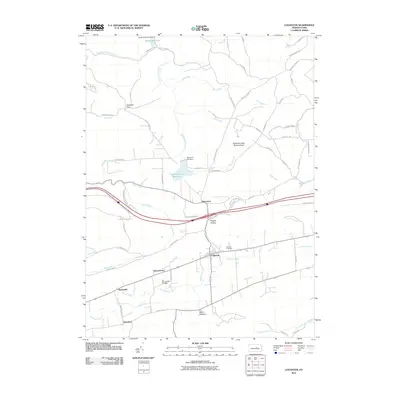 2010 Loganton2010 Print · USGSCovers Lamar Township, including Wayne Township, Rosecrans, and other nearby areas
 - 2010 Map of Beech Creek, 2010 Print
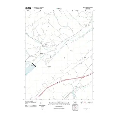 2010 Beech Creek2010 Print · USGSCovers Lamar Township, including Lamar, Beech Creek, and other nearby areas
 - 2010 Map of Mill Hall, 2010 Print
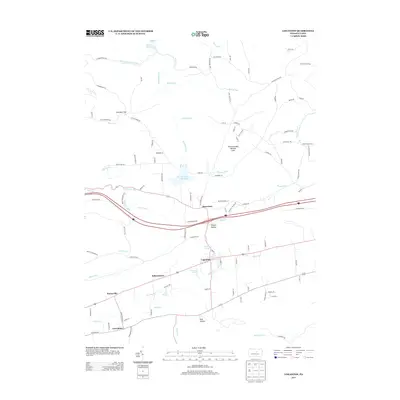
 2010 Mill Hall2010 Print · USGSCovers Lamar Township, including Lock Haven, Mill Hall, and other nearby areas
 - 2013 Map of Loganton, 2013 Print
 2013 Loganton2013 Print · USGSCovers Lamar Township, including Wayne Township, Rosecrans, and other nearby areas
 - 2013 Map of Mill Hall, 2013 Print
 2013 Mill Hall2013 Print · USGSCovers Lamar Township, including Lock Haven, Mill Hall, and other nearby areas
 - 2013 Map of Beech Creek, 2013 Print
 2013 Beech Creek2013 Print · USGSCovers Lamar Township, including Lamar, Beech Creek, and other nearby areas
 - 2016 Map of Loganton, 2016 Print
 2016 Loganton2016 Print · USGSCovers Lamar Township, including Wayne Township, Rosecrans, and other nearby areas
 - 2016 Map of Beech Creek, 2016 Print
 2016 Beech Creek2016 Print · USGSCovers Lamar Township, including Lamar, Beech Creek, and other nearby areas
 - 2016 Map of Mill Hall, 2016 Print
 2016 Mill Hall2016 Print · USGSCovers Lamar Township, including Lock Haven, Mill Hall, and other nearby areas
 - 2019 Map of Mill Hall, 2019 Print
 2019 Mill Hall2019 Print · USGSCovers Lamar Township, including Lock Haven, Mill Hall, and other nearby areas
Showing maps 1-25 of 30
Top cities near Lamar Township
- Lock Haven historical maps
- Jersey Shore historical maps
- Lamar historical maps
- Mill Hall historical maps
- Avis historical maps
- Flemington historical maps
See more
Top neighborhoods of Lamar Township
Frequently asked questions
- What are the different types of historical maps available for Lamar Township?
- What is the oldest map of Lamar Township?
- Where can I purchase historical maps of Lamar Township for my home or office?
- Where can I download high-res historical maps of Lamar Township?
- Are there historical topographic maps available for Lamar Township?
- Is there historical aerial imagery available for Lamar Township?
- Where are historical maps of Lamar Township sourced from?