Old Maps of Jonestown, Fishing Creek Township for Genealogy
Trace your family roots with 22 historic maps of Jonestown. These high-res maps reveal old neighborhoods, homesites, landmarks, and streets — helping you uncover where your ancestors lived and how the area evolved over time.
- Explore historic neighborhoods: Identify where your relatives may have lived in the 1800s or 1900s.
- Compare maps over time: Trace the changes in streets, buildings, and landmarks for multi-generational research.
- Perfect for genealogy & ancestry research: Used by family historians and researchers to map out lineage and migration.
These maps are an incredible resource for exploring your personal connection to Jonestown's past.
Jonestown, Fishing Creek Township maps
(22)- 1894 Map of Bloomsburg
 1894 Bloomsburg1894 Print · USGSThe Sesquehanna River valley in the late nineteenth century shows a landscape shaped by competing rail and water transport. Genealogists can trace family roots in river towns like Mifflinville or follow the mills and stations along Fishing Creek and the Sullivan RR.6 unique versions available
 - 1947 Map of Stillwater
 1947 Stillwater1947 Print · USGSMid-century Columbia and Luzerne counties come alive in this survey of the upland farms and creek valleys north of the Susquehanna. Genealogists can locate family landmarks such as Belles Cem, St James Ch, and numerous country schools like Town Hill Sch.2 unique versions available
 - 1947 Map of Mifflinville
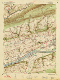 1947 Mifflinville1947 Print · USGSThe Susquehanna River valley in the late 1940s reveals a corridor of industrial growth and rural tradition. Researchers can trace family roots at Roselawn Cem, locate the old Center Sch, or follow the rail lines through Lime Ridge and Mifflinville.2 unique versions available
 - 1954 Map of Williamsport
 1954 Williamsport1954 Print · USGSNorth-central Pennsylvania in the mid-fifties is defined by the winding West Branch Susquehanna River and its industrial valley. Local historians can trace the massive Susquehanna Ordnance Depot and the extensive rail networks of the Pennsylvania Railroad.
 - 1954 Map of Stillwater, 1955 Print
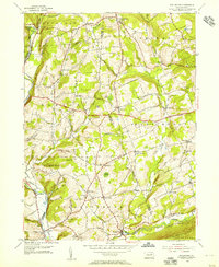 1954 Stillwater1955 Print · USGSNortheastern Pennsylvania’s agricultural and woodland landscape is captured here in the mid-fifties, centered on the boundary of Columbia and Luzerne counties. Genealogists can trace family roots through landmarks like Thompson Cem, Zaner Sch, and the Reading rail corridor.4 unique versions available
 - 1954 Map of Mifflinville, 1955 Print
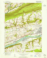 1954 Mifflinville1955 Print · USGSThe Susquehanna River valley in the mid-1950s is shown here at its industrial and agrarian height, dominated by the great rail lines and river towns. Genealogists and local historians can trace family roots at Roselawn Cemetery, the Old Stone Ch, and vanished markers near Dennis Mills.4 unique versions available
 - 1954 Map of Bloomsburg, 1955 Print
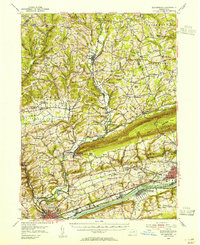 1954 Bloomsburg1955 Print · USGSBloomsburg and the Susquehanna River valley are captured in the mid-fifties, showing the region's transition from riverfront industry to upland farming. Genealogists can trace family names across Coles Mill, Hidlay Ch Cem, and the State Teachers College.2 unique versions available
 - 1960 Map of Williamsport
 1960 Williamsport1960 Print · USGSNorth-central Pennsylvania in the mid-twentieth century was a vital corridor of rail and river industry stretching from the New York line to the coal regions. Genealogists can trace the rail networks of the Pennsylvania RR and Lehigh Valley RR connecting towns like Williamsport, Towanda, and Lock Haven.
 - 1962 Map of Williamsport, 1966 Print
 1962 Williamsport1966 Print · USGSNorth-central Pennsylvania was a landscape of industrial river hubs and vast state woodlands in the early sixties. Researchers can trace the path of the Pennsylvania Railroad through Williamsport and explore the remote reaches of Bucktail State Park.5 unique versions available
 - 1965 Map of Williamsport
 1965 Williamsport1965 Print · USGSNorth-central Pennsylvania in the mid-1960s is defined by the industrial river towns and vast timberlands of the Allegheny Plateau. Researchers can trace historic rail lines like the Erie Lackawanna and Reading as they thread through Williamsport, Lock Haven, and Jersey Shore.
 - 1966 Map of Williamsport
 1966 Williamsport1966 Print · USGSThe Susquehanna Valley was a hub of transit and industry in the mid-seventies, where the river's West Branch connected major college towns and timberlands. Researchers can trace historical rail lines like the Reading or locate regional landmarks from Jersey Shore to Ricketts Glen State Park.
 - 1984 Map of Williamsport East, 1985 Print
 1984 Williamsport East1985 Print · USGSThe Susquehanna River valley and Allegheny highlands come together in this mid-eighties survey of central Pennsylvania. Trace family roots at Muncy Cem or locate institutional landmarks like Lycoming College and the State Correctional Institution at Retreat.2 unique versions available
 - 2010 Map of Stillwater, 2010 Print
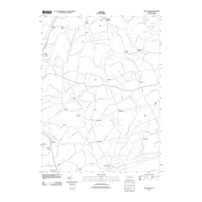 2010 Stillwater2010 Print · USGSThe rural hamlets of Columbia and Luzerne counties are captured here just after the turn of the millennium. Genealogists and historians can trace family roots through numerous sites like Boston Cemetery, Fairmount Springs, and the village of Stillwater.
 - 2010 Map of Mifflinville, 2010 Print
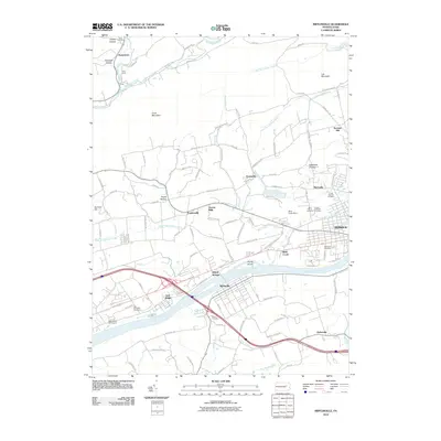 2010 Mifflinville2010 Print · USGSThe Susquehanna River valley in the early twenty-first century reveals a landscape of enduring riverside villages and mountain ridges. Trace local ancestry through sites like Brown Cemetery or the clusters of churches and cemeteries in Martzville and Mifflinville.
 - 2013 Map of Mifflinville, 2013 Print
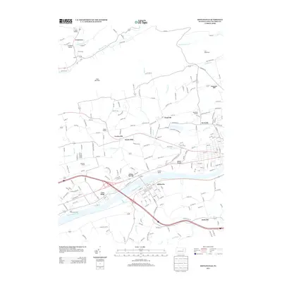 2013 Mifflinville2013 Print · USGSColumbia County’s riverfront and ridge country are captured here in the early twenty-first century as modern transit corridors meet older valley settlements. Researchers can trace the development of Mifflinville and Briar Creek or locate local landmarks like Seesholtz Airport and Dennis Mills.
 - 2013 Map of Stillwater, 2013 Print
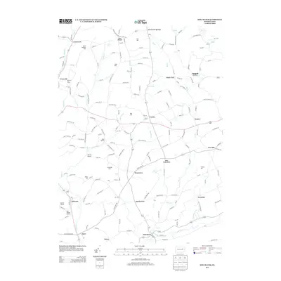 2013 Stillwater2013 Print · USGSThe rural valleys of Luzerne and Columbia counties are seen here in the early twenty-first century, centered on the historic borough of New Columbus. Trace local family landmarks and small communities from Stillwater to the namesake hollows like Bee Sellers Hollow.
 - 2016 Map of Stillwater, 2016 Print
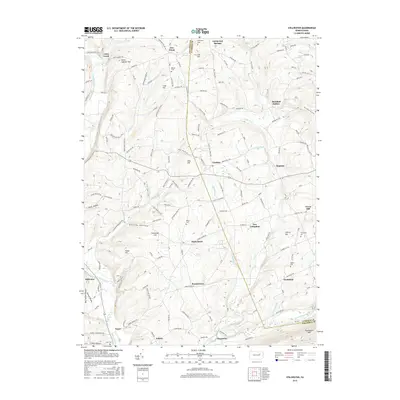 2016 Stillwater2016 Print · USGSThe rural borderlands of Columbia and Luzerne counties are captured here in the mid-2010s. Genealogists can trace family heritage through local burial grounds like Boston Cem and Dodson Cem, or locate homesteads near New Columbus and Stillwater.
 - 2016 Map of Mifflinville, 2016 Print
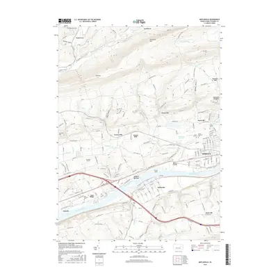 2016 Mifflinville2016 Print · USGSThe Susquehanna River valley and its surrounding ridges come alive in this mid-2010s survey of Columbia County. Genealogists can trace family heritage through numerous sites like Saint Marys Cem, Elan Memorial Cem, and the old Brown Cem.
 - 2019 Map of Mifflinville, 2019 Print
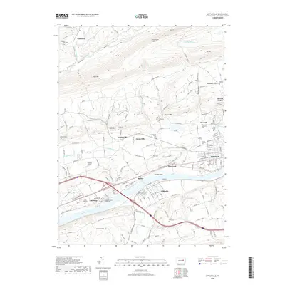 2019 Mifflinville2019 Print · USGSThe Susquehanna River valley in Columbia County appears here in the modern era, showing a landscape defined by prominent ridges and river-bend settlements. Genealogists can trace numerous family and denominational sites, from the Creasy Family Cem to the Russian Orthodox Cem and Seesholtz Airport.
 - 2019 Map of Stillwater, 2019 Print
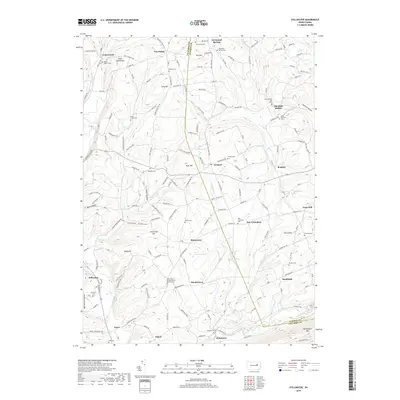 2019 Stillwater2019 Print · USGSColumbia and Luzerne counties are seen here in the modern era, preserving a landscape of historic crossroads and mountain ridges. Genealogists can trace family lines through numerous sites like Thompson Cem and Hamline Cem or the namesake settlement of Stillwater.
 - 2023 Map of Stillwater, 2023 Print
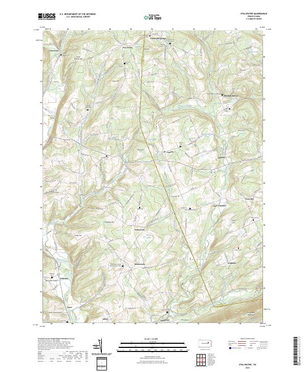 2023 Stillwater2023 Print · USGSCrossing the Columbia and Luzerne County line in the modern era, this survey captures a network of rural hamlets and upland ridges. Genealogists can trace family landmarks at Stillwater Cem, Saint Gabriel Hill, and the community of Honeytown.
 - 2023 Map of Mifflinville, 2023 Print
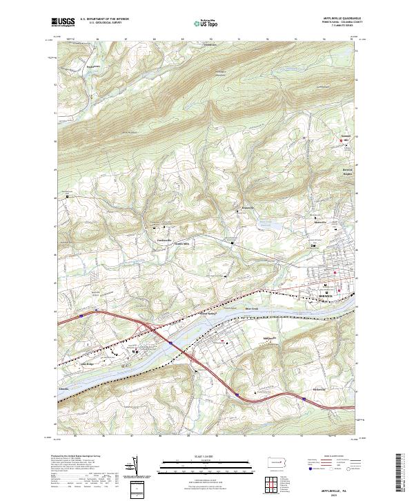 2023 Mifflinville2023 Print · USGSThe Susquehanna River valley in Columbia County appears here in the early twenty-first century, showing the corridor between Mifflinville and Berwick. Genealogists can locate family landmarks like the Creasy Family Cem, Brown Cem, and Saint Marys Cem.
End of results
Showing maps 1-22 of 22
Top cities near Jonestown
- Bloomsburg historical maps
- Berwick historical maps
- Lehman Township historical maps
- Hunlock Township historical maps
- Greenwood Township historical maps
- North Centre Township historical maps
See more
Frequently asked questions
- What are the different types of historical maps available for Jonestown?
- What is the oldest map of Jonestown?
- Where can I purchase historical maps of Jonestown for my home or office?
- Where can I download high-res historical maps of Jonestown?
- Are there historical topographic maps available for Jonestown?
- Is there historical aerial imagery available for Jonestown?
- Where are historical maps of Jonestown sourced from?