Old Maps of Mifflin Township, Pennsylvania for Genealogy
Trace your family roots with 51 historic maps of Mifflin Township. These high-res maps reveal old neighborhoods, homesites, landmarks, and streets — helping you uncover where your ancestors lived and how the area evolved over time.
- Explore historic neighborhoods: Identify where your relatives may have lived in the 1800s or 1900s.
- Compare maps over time: Trace the changes in streets, buildings, and landmarks for multi-generational research.
- Perfect for genealogy & ancestry research: Used by family historians and researchers to map out lineage and migration.
These maps are an incredible resource for exploring your personal connection to Mifflin Township's past.
Mifflin Township, PA maps
(51)- 1889 Map of Catawissa, 1954 Print
 1889 Catawissa1954 Print · USGSThe anthracite coal region and Susquehanna River valley come alive in this late 19th-century survey. Genealogists and historians can trace the early rail networks of the Philadelphia and Reading Railroad connecting industrial hubs like Centralia, Mount Carmel, and Ashland.
 - 1892 Map of Catawissa
 1892 Catawissa1892 Print · USGSThe Pennsylvania anthracite region comes into focus during the late nineteenth-century coal boom. Genealogists and historians can trace rail-centered towns like Centralia, Ashland, and Mount Carmel alongside the historic Bloomsburg Ferry.
 - 1892 Map of Mahanoy
 1892 Mahanoy1892 Print · USGSSchuylkill and Luzerne counties are captured here at a peak of industrial development during the 1890s coal era. Researchers can trace the massive rail networks serving Shenandoah, Mahanoy City, and lost junctions like Silver Brook Junction.
 - 1893 Map of Mahanoy, 1898 Print
 1893 Mahanoy1898 Print · USGSSchuylkill and Luzerne counties are shown at the height of the coal era, revealing a landscape etched by mining and rail commerce. Genealogists and industrial historians can trace the specific neighborhoods of Shenandoah, Mahanoy City, and the railway junctions at Tamanend and Delano.7 unique versions available
 - 1894 Map of Catawissa
 1894 Catawissa1894 Print · USGSPennsylvania's anthracite coal region and the Susquehanna valley appear here in the late nineteenth century, defined by a massive expansion of rail and ridge-top settlements. Researchers can trace old transit lines like the Lehigh Valley Railroad through Centralia or locate early rural hubs like Mifflin X Roads.6 unique versions available
 - 1894 Map of Shickshinny
 1894 Shickshinny1894 Print · USGSLuzerne County at the height of the coal and canal era reveals a landscape shaped by river transport and mountain ridges. Trace the remnants of the Pennsylvania Canal and locate long-standing river crossings like Hicks Ferry and Beach Haven Ferry.6 unique versions available
 - 1894 Map of Bloomsburg
 1894 Bloomsburg1894 Print · USGSThe Sesquehanna River valley in the late nineteenth century shows a landscape shaped by competing rail and water transport. Genealogists can trace family roots in river towns like Mifflinville or follow the mills and stations along Fishing Creek and the Sullivan RR.6 unique versions available
 - 1946 Map of Berwick
 1946 Berwick1946 Print · USGSBerwick and the Susquehanna River valley are shown here in the mid-forties, highlighting a landscape of river-oriented industry and mountain-bound rural life. Genealogists can trace numerous local landmarks including Mt Zion Ch, Harter Sch, and the riverside community of Beach Haven.2 unique versions available
 - 1947 Map of Mifflinville
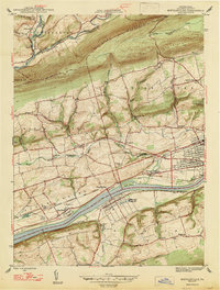 1947 Mifflinville1947 Print · USGSThe Susquehanna River valley in the late 1940s reveals a corridor of industrial growth and rural tradition. Researchers can trace family roots at Roselawn Cem, locate the old Center Sch, or follow the rail lines through Lime Ridge and Mifflinville.2 unique versions available
 - 1948 Map of Shumans
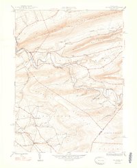 1948 Shumans1948 Print · USGSColumbia County in the late 1940s is defined by its deep creek valleys and the Reading railroad lines that connected its rural hamlets. Researchers can locate vanished landmarks like the Beaver Sch and trace family roots in settlements like Shumans and Kulp.2 unique versions available
 - 1950 Map of Nuremberg
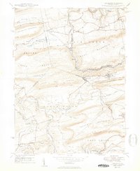 1950 Nuremberg1950 Print · USGSThe tri-county borderlands of Eastern Pennsylvania are captured here at the start of the 1950s. Genealogists can trace family names at Millers Corner and Raricks, or locate ancestors at the Nuremberg Cem and Mt Zion Ch.2 unique versions available
 - 1950 Map of Harrisburg, 1952 Print
 1950 Harrisburg1952 Print · USGSMid-century Central Pennsylvania comes alive through its dense rail networks and river valley settlements during the post-war industrial era. Genealogists and historians can trace family roots through hubs like Harrisburg, locate Carlisle Barracks, or follow the Pennsylvania RR through the Lebanon Valley.
 - 1954 Map of Williamsport
 1954 Williamsport1954 Print · USGSNorth-central Pennsylvania in the mid-fifties is defined by the winding West Branch Susquehanna River and its industrial valley. Local historians can trace the massive Susquehanna Ordnance Depot and the extensive rail networks of the Pennsylvania Railroad.
 - 1954 Map of Mifflinville, 1955 Print
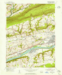 1954 Mifflinville1955 Print · USGSThe Susquehanna River valley in the mid-1950s is shown here at its industrial and agrarian height, dominated by the great rail lines and river towns. Genealogists and local historians can trace family roots at Roselawn Cemetery, the Old Stone Ch, and vanished markers near Dennis Mills.4 unique versions available
 - 1954 Map of Bloomsburg, 1955 Print
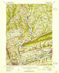 1954 Bloomsburg1955 Print · USGSBloomsburg and the Susquehanna River valley are captured in the mid-fifties, showing the region's transition from riverfront industry to upland farming. Genealogists can trace family names across Coles Mill, Hidlay Ch Cem, and the State Teachers College.2 unique versions available
 - 1955 Map of Berwick, 1956 Print
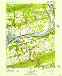 1955 Berwick1956 Print · USGSThe Susquehanna River valley thrives in the mid-fifties, showing the industrial heart of Berwick and its rail-connected neighbors. Genealogists can trace family roots through numerous local landmarks like Stone Ch, Hunter Sch, and Township School.6 unique versions available
 - 1955 Map of Shumans, 1956 Print
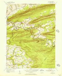 1955 Shumans1956 Print · USGSColumbia County’s ridge-and-valley landscape is captured here in the mid-1950s as the Reading railroad follows the winding Catawissa Creek. Genealogists can locate family landmarks like Michaels Cem, Harkers Ch, and the old Beaver Sch.5 unique versions available
 - 1955 Map of Nuremberg, 1956 Print
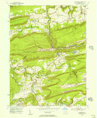 1955 Nuremberg1956 Print · USGSThe anthracite region near the Luzerne and Schuylkill border is shown here in the mid-1950s, highlighting the industrial rail network and hilltop mining towns. Researchers can trace family roots through sites like Nuremberg Cem, Zion Grove, and the mining village of Oneida.6 unique versions available
 - 1955 Map of Catawissa, 1960 Print
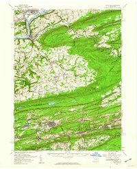 1955 Catawissa1960 Print · USGSThe coal and river valleys of Columbia and Schuylkill counties are shown here in the mid-1950s. Genealogists and historians can trace family roots through numerous sites like Centralia, St Marys Cem, and Parrs Mill.2 unique versions available
 - 1955 Map of Shickshinny, 1960 Print
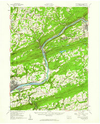 1955 Shickshinny1960 Print · USGSThe Susquehanna River valley and the anthracite coal region appear in fine detail during the mid-fifties. Researchers can trace old rail corridors, family cemeteries like St Alberts Cem, and smaller settlements such as Mocanaqua or Patterson Grove.
 - 1955 Map of Mahanoy, 1960 Print
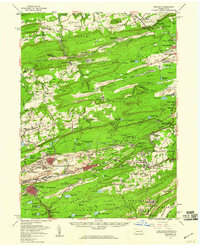 1955 Mahanoy1960 Print · USGSThe anthracite coalfields of Schuylkill County are shown in full industrial operation during the mid-1950s. Researchers can locate specific colliery sites and landmarks like Harwood, the Mahanoy Tunnel, and the lone Peddlars Grave.
 - 1957 Map of Harrisburg
 1957 Harrisburg1957 Print · USGSMid-century Central Pennsylvania comes into focus as a bustling network of rail, river, and mountain ridges. Genealogists and historians can trace the development of the State Capitol and surrounding hubs like Middletown, Columbia, and Pottsville.7 unique versions available
 - 1960 Map of Williamsport
 1960 Williamsport1960 Print · USGSNorth-central Pennsylvania in the mid-twentieth century was a vital corridor of rail and river industry stretching from the New York line to the coal regions. Genealogists can trace the rail networks of the Pennsylvania RR and Lehigh Valley RR connecting towns like Williamsport, Towanda, and Lock Haven.
 - 1961 Map of Harrisburg
 1961 Harrisburg1961 Print · USGSCentral Pennsylvania is shown at a mid-century peak of industrial and military activity, from the Susquehanna water gaps to the fertile Dutch Country. Genealogists and historians can trace the rail corridors of the Pennsylvania RR and find landmarks like Carlisle Barracks or the Anthracite Coal Fields.2 unique versions available
 - 1962 Map of Williamsport, 1966 Print
 1962 Williamsport1966 Print · USGSNorth-central Pennsylvania was a landscape of industrial river hubs and vast state woodlands in the early sixties. Researchers can trace the path of the Pennsylvania Railroad through Williamsport and explore the remote reaches of Bucktail State Park.5 unique versions available
Showing maps 1-25 of 51
Top cities near Mifflin Township
- Bloomsburg historical maps
- Berwick historical maps
- Mount Carmel historical maps
- Shenandoah historical maps
- Mahanoy City historical maps
- Kulpmont historical maps
See more
Top neighborhoods of Mifflin Township
Frequently asked questions
- What are the different types of historical maps available for Mifflin Township?
- What is the oldest map of Mifflin Township?
- Where can I purchase historical maps of Mifflin Township for my home or office?
- Where can I download high-res historical maps of Mifflin Township?
- Are there historical topographic maps available for Mifflin Township?
- Is there historical aerial imagery available for Mifflin Township?
- Where are historical maps of Mifflin Township sourced from?