2000s (21st Century) Maps of Middle Paxton Township, Pennsylvania
Explore 35 historic maps of Middle Paxton Township from the 2000s (21st Century). These maps offer a rare glimpse into what life looked like during the 2000s — showing old roads, neighborhoods, homes, and landmarks that have changed or disappeared over time.
Whether you're researching your family's past, planning a metal detecting trip, or studying how Middle Paxton Township's landscape evolved across the 2000s, these high-resolution maps are a powerful tool for exploring the history of this region.
- Focus on a specific era: All maps on this page are from the 2000s, giving you a focused view of this time period.
- See what’s changed: Compare century-old streets, trails, and buildings to today's modern landscape using overlays and satellite layers.
- Research with precision: Use these maps for genealogy, historical research, land use analysis, or educational projects.
- View, download, or print: Maps are fully viewable online in high resolution, and can be downloaded or printed for your own records.
Start exploring Middle Paxton Township's history through authentic maps from the 2000s. This is your window into the past.
Middle Paxton Township, PA maps
(35)- 2010 Map of Wertzville, 2010 Print
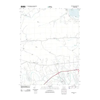 2010 Wertzville2010 Print · USGSCumberland County at the start of the 2010s shows a landscape shaped by ridge-and-valley terrain and the winding Conodoguinet Creek. Researchers can trace old routes through Millers Gap, locate the historic Hustons Mill, or study the developed hillsides of Kinkora Heights.
 - 2010 Map of Duncannon, 2010 Print
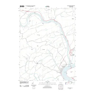 2010 Duncannon2010 Print · USGSDuncannon and the surrounding river valleys are captured here in the early twenty-first century, showing the meeting of the Susquehanna and Juniata rivers. Local historians can trace established routes to Potters School, locate the Mosquito Creek Dam, or study the river crossings at Clarks Ferry Bridge.
 - 2010 Map of Enders, 2010 Print
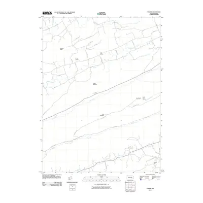 2010 Enders2010 Print · USGSDauphin County’s ridge-and-valley landscape is shown here in detail during the early twenty-first century. Genealogists and hikers can trace the Appalachian Trl W, locate the Union Church Cemetery, and find the Stony Mountain Lookout Tower.
 - 2010 Map of Grantville, 2010 Print
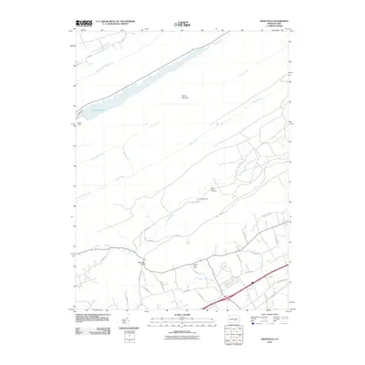 2010 Grantville2010 Print · USGSEast Hanover Township and the surrounding Blue Mountain ridges appear in this 2010 survey during a period of continued military and suburban integration. Researchers can trace the perimeter of Fort Indiantown Gap and locate landmarks such as Saint Pauls Cemetery and Manada Gap.
 - 2010 Map of Harrisburg East, 2010 Print
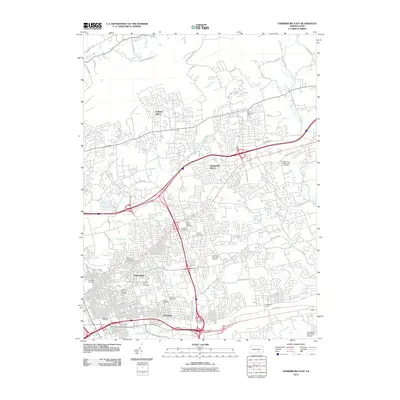 2010 Harrisburg East2010 Print · USGSDauphin County’s suburban expansion is in full view here during the early 2010s, revealing a landscape where modern interstates intersect with deep-rooted local history. Genealogists can trace family legacies at East Harrisburg Cemetery or Shoops Cemetery, while historians examine the industrial scale of Rutherford Yards.
 - 2010 Map of Halifax, 2010 Print
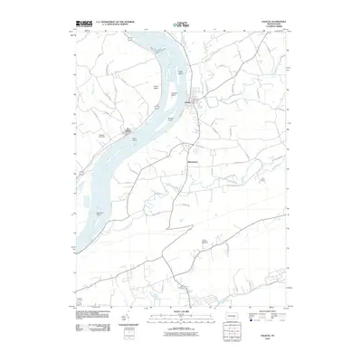 2010 Halifax2010 Print · USGSThe Susquehanna River valley and the town of Halifax appear here in the early twenty-first century, showing a landscape defined by river islands and creek-cut ridges. Local historians can trace family sites like Zion Cemetery, the layout of New Buffalo, and landmarks such as Girtys Notch.
 - 2010 Map of Harrisburg West, 2010 Print
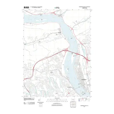 2010 Harrisburg West2010 Print · USGSThe Susquehanna River valley around Harrisburg was a bustling hub of rail and river commerce in the early twenty-first century. Genealogists and historians can trace the expansive Enola Yards, locate the Perry Heights Cemetery, or explore landmarks like the Rockville Bridge.
 - 2013 Map of Halifax, 2013 Print
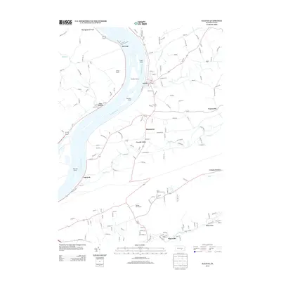 2013 Halifax2013 Print · USGSThe Susquehanna River valley and its surrounding ridges are captured here in the early twenty-first century. Genealogists and local historians can trace legacy sites from the riverfront at Montgomery Ferry to the industrial history of Victoria Furnace.
 - 2013 Map of Enders, 2013 Print
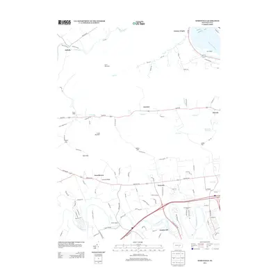
 2013 Enders2013 Print · USGSDauphin County’s ridge-and-valley landscape is shown here in the early twenty-first century, centered on the historic mountain corridors north of Harrisburg. Researchers can trace the development of small settlements like Ellendale Forge and Enterline or locate the remote Stony Mountain Lookout Tower along the heights of Peters Mountain.
 - 2013 Map of Wertzville, 2013 Print
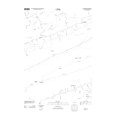
 2013 Wertzville2013 Print · USGSCumberland County at the start of the 2010s reveals a landscape defined by sharp mountain ridges and the winding Conodoguinet Creek. Researchers can trace historic valley settlements and local infrastructure, from Hustons Mill and Donnellytown to the high waters of Marysville Reservoir.
 - 2013 Map of Duncannon, 2013 Print
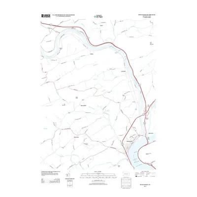 2013 Duncannon2013 Print · USGSThe confluence of the Susquehanna and Juniata Rivers defines this area of Perry County as a major historical crossroads. You can trace the development of river-fronting towns and rural landmarks, from the streets of Duncannon to Potters School and the Aqueduct at Losh Run.
 - 2013 Map of Grantville, 2013 Print
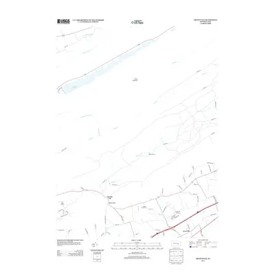 2013 Grantville2013 Print · USGSEast Hanover Township in the early twenty-first century reveals a landscape where military history and mountain recreation meet. Genealogists and hikers can trace the Appalachian Trl E through the gaps, while researchers locate sites like Fort Indiantown Gap and Grantville.
 - 2013 Map of Harrisburg East, 2013 Print
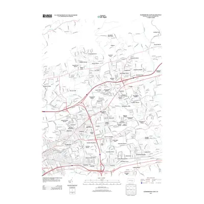 2013 Harrisburg East2013 Print · USGSThe suburbs east of the Pennsylvania capital are shown at a peak of residential density during the early 2010s. Genealogists and historians can trace thousands of street names across neighborhoods like Linglestown and Paxtonia or locate major infrastructure like the Rutherford Yards.
 - 2013 Map of Harrisburg West, 2013 Print
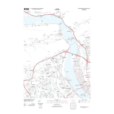 2013 Harrisburg West2013 Print · USGSThe Susquehanna riverfront north of Harrisburg is shown here at a time when massive rail and road infrastructure defined the valley. Genealogists and local historians can trace the neighborhoods of Enola and Marysville or locate Good Hope Mill and the Enola Yards.
 - 2016 Map of Enders, 2016 Print
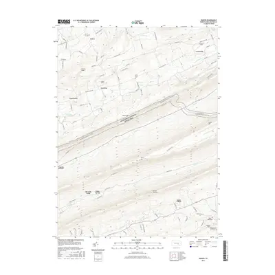 2016 Enders2016 Print · USGSDauphin County’s mountainous terrain is shown in detail during the early twenty-first century, featuring the historic iron sites of the Clark Creek valley. You can locate family-named landmarks and old hamlets like Victoria Furnace, Ellendale Forge, and Dividing Ridge.
 - 2016 Map of Halifax, 2016 Print
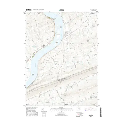 2016 Halifax2016 Print · USGSThe Susquehanna River corridor near Halifax is captured here in the mid-2010s, showing a landscape defined by historic river crossings and mountain ridges. Genealogists can locate family landmarks like Zion Cem, the landing at Montgomery Ferry, and the old site of Victoria Furnace.
 - 2016 Map of Harrisburg East, 2016 Print
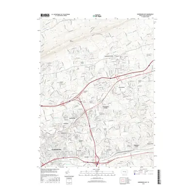 2016 Harrisburg East2016 Print · USGSThe eastern suburbs of Dauphin County are captured here during a period of significant growth at the state capital. Genealogists and local historians can trace legacy sites like the Harrisburg Cem, Shoops Cem, and the old settlement at Linglestown.
 - 2016 Map of Wertzville, 2016 Print
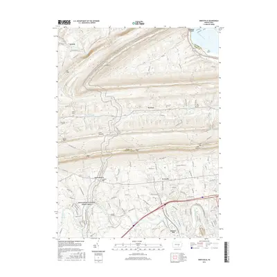 2016 Wertzville2016 Print · USGSCumberland and Perry counties are captured here in the mid-2010s, showing a landscape defined by mountain gaps and valley creeks. Researchers can trace historic local sites like Hustons Mill, Oak Grove Cem, and old settlements like Wertzville and Donnellytown.
 - 2016 Map of Harrisburg West, 2016 Print
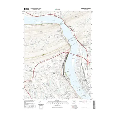 2016 Harrisburg West2016 Print · USGSThe Pennsylvania capital and its western suburbs are shown in great detail during the mid-2010s as the Susquehanna valley expands. Trace the footprint of local industry and transit from the Rockville Bridge to the rail hubs of ENOLA and the historic Fort Hunter.
 - 2016 Map of Grantville, 2016 Print
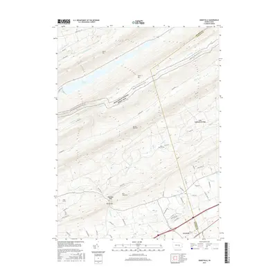 2016 Grantville2016 Print · USGSEast Hanover Township and the ridge-and-valley landscape of Lebanon County are shown here in the mid-2010s. Researchers can trace the path of the Appalachian National Scenic Trail, locate the Saint Pauls Cem, and explore the grounds of Fort Indiantown Gap.
 - 2016 Map of Duncannon, 2016 Print
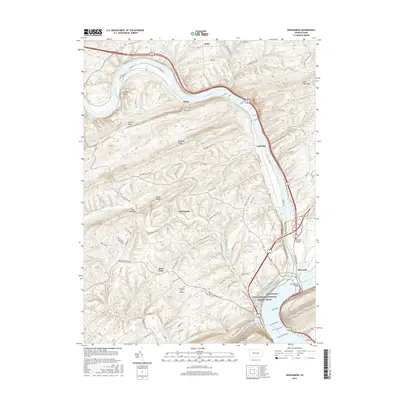 2016 Duncannon2016 Print · USGSDuncannon and the surrounding river valleys are captured here in the mid-2010s at the junction of two major Pennsylvania waterways. Researchers can trace the landscape from the riverfront at Benvenue to upland locales like Montebello, Rose Glen, and the Chestnut Hill Airport.
 - 2019 Map of Duncannon, 2019 Print
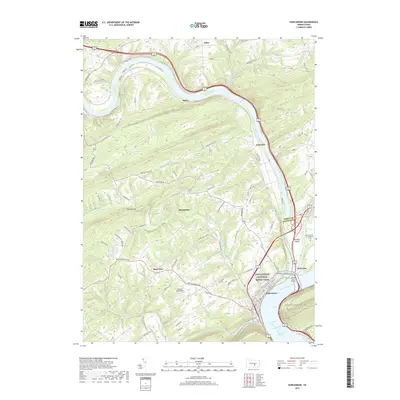 2019 Duncannon2019 Print · USGSDuncannon and the surrounding ridges are mapped here as they appeared in 2019, where the great river junctions define the landscape. Trace the Appalachian National Scenic Trail over Clarks Ferry Bridge or locate local landmarks like Chestnut Hill Airport and Garman Cem on Haldeman Island.
 - 2019 Map of Grantville, 2019 Print
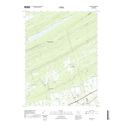 2019 Grantville2019 Print · USGSGrantville and East Hanover Township are shown in the late 2010s as the military footprint of Fort Indiantown Gap meets the Blue Mountain ridges. Genealogists and hikers can trace sites like the Old Hanover Presbyterian Churchyard or follow the Appalachian National Scenic Trail past the DeHart Reservoir.
 - 2019 Map of Wertzville, 2019 Print
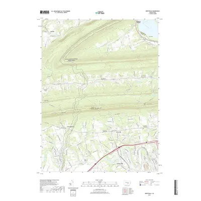 2019 Wertzville2019 Print · USGSCumberland and Perry counties meet at the mountain gaps in this recent survey of Pennsylvania's ridge-and-valley landscape. Researchers can trace family history through sites like Kauffman Farm Graveyard, Hustons Mill, and Youngs United Methodist Cem.
 - 2019 Map of Enders, 2019 Print
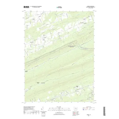 2019 Enders2019 Print · USGSDauphin County’s northern ridges and creek valleys are documented here in 2019, showing a landscape shaped by early industry and rural settlement. Genealogists and hikers can trace the Appalachian National Scenic Trail past sites like Victoria Furnace and Philip Christian Enders Memorial Cem.
Showing maps 1-25 of 35
Top cities near Middle Paxton Township
- Harrisburg historical maps
- Colonial Park historical maps
- Hershey historical maps
- Progress historical maps
- Middletown historical maps
- New Cumberland historical maps
See more
Top neighborhoods of Middle Paxton Township
- Victoria Furnace historical maps
- White Spring historical maps
- Stone Glen historical maps
- Fort Hunter historical maps
- Ellendale Forge historical maps
- Singersville historical maps
See more
Frequently asked questions
- What are the different types of historical maps available for Middle Paxton Township?
- What is the oldest map of Middle Paxton Township?
- Where can I purchase historical maps of Middle Paxton Township for my home or office?
- Where can I download high-res historical maps of Middle Paxton Township?
- Are there historical topographic maps available for Middle Paxton Township?
- Is there historical aerial imagery available for Middle Paxton Township?
- Where are historical maps of Middle Paxton Township sourced from?