Old Maps of West Hanover Township, Pennsylvania for Metal Detecting
Plan your next treasure hunt with 47 historic maps of West Hanover Township. Find old homesites, ghost towns, trails, and gathering spots that may be lost to time — perfect for identifying promising metal detecting locations.
- Locate forgotten sites: Uncover places like long-lost settlements, abandoned rail lines, or gathering spots.
- Plan better hunts: Use map overlays combined with LiDAR or satellite views to narrow in on historically rich areas.
- Made for detectorists: Thousands of hobbyists use these maps to discover relics, coins, and hidden history.
Use these historic maps to boost your research and find new opportunities beneath the surface of West Hanover Township.
West Hanover Township, PA maps
(47)- 1892 Map of Hummelstown
 1892 Hummelstown1892 Print · USGSDauphin and Lebanon Counties were defined by a series of prominent mountain ridges and gap-dependent rail lines in the 1890s. Genealogists can trace family settlements from Hummelstown to Annville, locating landmarks like Walmers Church and Union Deposit.10 unique versions available
 - 1892 Map of Harrisburg
 1892 Harrisburg1892 Print · USGSThe Pennsylvania capital and the Susquehanna River corridor are captured here in the 1890s, revealing a landscape of mountain gaps and canal-era infrastructure. Genealogists can trace family roots through settlements like Wormleysburg, Linglestown, and the grounds of the State Lunatic Asylum.2 unique versions available
 - 1899 Map of Harrisburg
 1899 Harrisburg1899 Print · USGSHarrisburg and the Susquehanna River valley are captured here in the 1890s as the railroad era reached its height alongside older waterways. Genealogists and historians can trace the paths of the Pennsylvania Canal and find local landmarks like Heckton Mills and the State Lunatic Asylum.15 unique versions available
 - 1924 Map of Hummelstown
 1924 Hummelstown1924 Print · USGSDauphin and Lebanon Counties in the mid-twenties show a landscape defined by mountain gaps and the reach of the Philadelphia and Reading Railroad. Researchers can trace historic church sites like Walmers Church, early industries at Union Waterworks, and vanished rail stops like Cold Spring.
 - 1924 Map of Harrisburg
 1924 Harrisburg1924 Print · USGSThe Susquehanna River corridor at the state capital reveals a landscape of industrial river gaps and ridge-line valleys in the 1920s. Genealogists and historians can trace the paths of the Pennsylvania Canal and find landmarks like the State Lunatic Asylum and Fort Hunter.
 - 1943 Map of Harrisburg
 1943 Harrisburg1943 Print · USGSThe Pennsylvania capital and its surrounding Susquehanna riverfront are seen here during the war years. Researchers can trace the extensive rail networks and find local landmarks like Fort Hunter, Good Hope Mills, and Wenrichs Ch.3 unique versions available
 - 1943 Map of Hummelstown
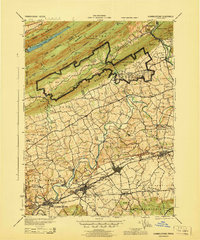 1943 Hummelstown1943 Print · USGSDauphin and Lebanon counties appear here during the Second World War as military and industrial growth transformed the countryside. Researchers can trace family landmarks and rural infrastructure, from Moonshine Ch and Union Deposit to the Hershey Zoo.
 - 1947 Map of Hummelstown
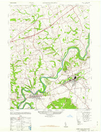 1947 Hummelstown1947 Print · USGSThe Pennsylvania countryside between Hummelstown and Hershey appears in the late 1940s as a mix of rural schools and corporate expansion. Trace the early layout of Hershey Zoo and Hershey Stadium alongside landmarks like Union Deposit and Stoverdale Station.2 unique versions available
 - 1947 Map of Enders
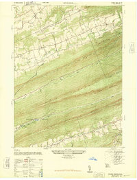 1947 Enders1947 Print · USGSDauphin County’s ridge-and-valley landscape is captured here in the years immediately following the war, showing the tight-knit rural communities between the mountains. Genealogists can locate specific landmarks like Bowermans Church, Carsonville School, and rail stops including Ellendale Forge Station.2 unique versions available
 - 1947 Map of Harrisburg East
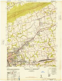 1947 Harrisburg East1947 Print · USGSDauphin County expansion is evident in the late 1940s as suburban communities like Progress and Paxtang grow alongside critical rail lines. Genealogists and historians can trace Prospect Hill Cemetery, the Abandoned Race Track, and early aviation at Penn-Harris Airport.4 unique versions available
 - 1947 Map of Manada Gap
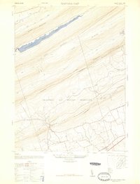 1947 Manada Gap1947 Print · USGSDauphin County’s mountainous ridges were still adjusting to a heavy military and industrial footprint just after the war. You can trace the legacy of the local iron industry at Manada Furnace or locate family roots at the Grantville School and Manada Furnace Church.3 unique versions available
 - 1950 Map of Harrisburg, 1952 Print
 1950 Harrisburg1952 Print · USGSMid-century Central Pennsylvania comes alive through its dense rail networks and river valley settlements during the post-war industrial era. Genealogists and historians can trace family roots through hubs like Harrisburg, locate Carlisle Barracks, or follow the Pennsylvania RR through the Lebanon Valley.
 - 1956 Map of Harrisburg, 1958 Print
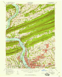 1956 Harrisburg1958 Print · USGSThe Pennsylvania state capital and its surrounding mountain gaps are captured here in the mid-1950s as suburban expansion met the Susquehanna's industrial riverfront. Trace the path of the Stony Creek Railroad or locate family roots at Good Hope Mills and the Rutter Sch.6 unique versions available
 - 1956 Map of Hummelstown, 1958 Print
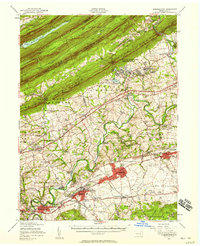 1956 Hummelstown1958 Print · USGSDauphin and Lebanon Counties are shown in the mid-1950s as the chocolate industry and military training shaped the local landscape. Genealogists and historians can trace family roots through labeled landmarks like Balsbaugh Ch, Harper Tavern, and the Manada Furnace.3 unique versions available
 - 1957 Map of Harrisburg
 1957 Harrisburg1957 Print · USGSMid-century Central Pennsylvania comes into focus as a bustling network of rail, river, and mountain ridges. Genealogists and historians can trace the development of the State Capitol and surrounding hubs like Middletown, Columbia, and Pottsville.7 unique versions available
 - 1961 Map of Harrisburg
 1961 Harrisburg1961 Print · USGSCentral Pennsylvania is shown at a mid-century peak of industrial and military activity, from the Susquehanna water gaps to the fertile Dutch Country. Genealogists and historians can trace the rail corridors of the Pennsylvania RR and find landmarks like Carlisle Barracks or the Anthracite Coal Fields.2 unique versions available
 - 1964 Map of Harrisburg
 1964 Harrisburg1964 Print · USGSCentral Pennsylvania in the mid-fifties reveals a landscape shaped by ridge-and-valley geology and critical Cold War infrastructure. Researchers can trace the massive Indiantown Gap Military Reservation or the rail corridors of the Pennsylvania RR and Reading RR.
 - 1969 Map of Harrisburg East, 1972 Print
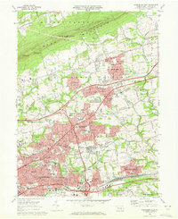 1969 Harrisburg East1972 Print · USGSDauphin County’s eastern suburbs were in a period of rapid mid-century growth as the interstate system reached the area. Researchers can trace the development of Colonial Park and Progress, locating family sites near Shoops Cemetery or the Reading rail line.3 unique versions available
 - 1969 Map of Hershey, 1972 Print
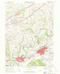 1969 Hershey1972 Print · USGSDauphin County’s industrial and institutional landscape is captured here during a period of significant regional growth. Researchers can trace the development of Hershey Park and the Hershey Medical Center alongside historic sites like Indian Echo Caverns.4 unique versions available
 - 1969 Map of Grantville, 1972 Print
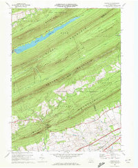 1969 Grantville1972 Print · USGSDauphin County’s ridge-and-valley terrain is captured here in the late sixties, showcasing a landscape defined by military reservations and mountain gaps. Genealogists and hikers can trace the Appalachian Trail across Sharp Mountain or locate family roots near St Pauls Cem and the village of Grantville.6 unique versions available
 - 1969 Map of Enders, 1972 Print
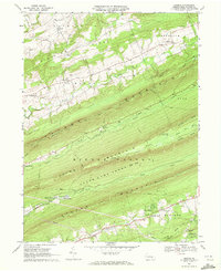 1969 Enders1972 Print · USGSDauphin County’s ridge-and-valley landscape is shown in detail during the late sixties, highlighting the intersection of mountain wilderness and small-town life. Genealogists and hikers can trace the Appalachian Trail past the Stony Mountain Lookout Tower or locate family sites at Gusler Cem and Victoria Furnace.4 unique versions available
 - 1977 Map of Hershey, 1979 Print
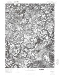 1977 Hershey1979 Print · USGSDauphin County's industrial and residential heart is captured here in the late seventies, showing the rapid development around its famous chocolate center. Researchers can trace the winding course of Swatara Creek past the established streets of Hummelstown, Hockersville, and Union Deposit.
 - 1984 Map of Harrisburg, 1985 Print
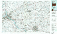 1984 Harrisburg1985 Print · USGSCentral Pennsylvania in the mid-eighties shows a landscape defined by the winding Susquehanna River and the industrial growth of its river towns. Researchers can trace the rail corridors of Amtrak and Conrail or explore the bounds of Fort Indiantown Gap Military Reservation.2 unique versions available
 - 1993 Map of Harrisburg East, 1999 Print
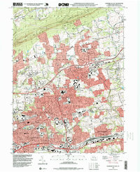 1993 Harrisburg East1999 Print · USGSDauphin County's eastern suburban corridor is captured here in the early nineties as residential growth expanded toward the base of BLUE MOUNTAIN. Researchers can trace family history through local landmarks like Shoops Cemetery, Harrisburg State Hospital, and the old CONRAIL rail lines.
 - 1995 Map of Enders, 1999 Print
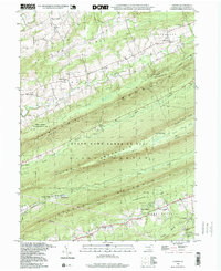 1995 Enders1999 Print · USGSDauphin County's rhythmic mountain ridges and narrow creek valleys are frozen in time here during the mid-1990s. Genealogists and local historians can trace family-named landmarks like Bowerman Ch, the Gusler Airport, and early industrial sites at Victoria Furnace.
Showing maps 1-25 of 47
Top cities near West Hanover Township
- Harrisburg historical maps
- Colonial Park historical maps
- Hershey historical maps
- Elizabethtown historical maps
- Progress historical maps
- Middletown historical maps
See more
Top neighborhoods of West Hanover Township
- Piketown historical maps
- Houck Manor historical maps
- Devonshire Crest historical maps
- Manadahill historical maps
- Holiday Park historical maps
- Ritzie Village historical maps
See more
Frequently asked questions
- What are the different types of historical maps available for West Hanover Township?
- What is the oldest map of West Hanover Township?
- Where can I purchase historical maps of West Hanover Township for my home or office?
- Where can I download high-res historical maps of West Hanover Township?
- Are there historical topographic maps available for West Hanover Township?
- Is there historical aerial imagery available for West Hanover Township?
- Where are historical maps of West Hanover Township sourced from?