2000s (21st Century) Maps of Delaware County, Pennsylvania
Explore 22 historic maps of Delaware County from the 2000s (21st Century). These maps offer a rare glimpse into what life looked like during the 2000s — showing old roads, neighborhoods, homes, and landmarks that have changed or disappeared over time.
Whether you're researching your family's past, planning a metal detecting trip, or studying how Delaware County's landscape evolved across the 2000s, these high-resolution maps are a powerful tool for exploring the history of this region.
- Focus on a specific era: All maps on this page are from the 2000s, giving you a focused view of this time period.
- See what’s changed: Compare century-old streets, trails, and buildings to today's modern landscape using overlays and satellite layers.
- Research with precision: Use these maps for genealogy, historical research, land use analysis, or educational projects.
- View, download, or print: Maps are fully viewable online in high resolution, and can be downloaded or printed for your own records.
Start exploring Delaware County's history through authentic maps from the 2000s. This is your window into the past.
Delaware County, PA maps
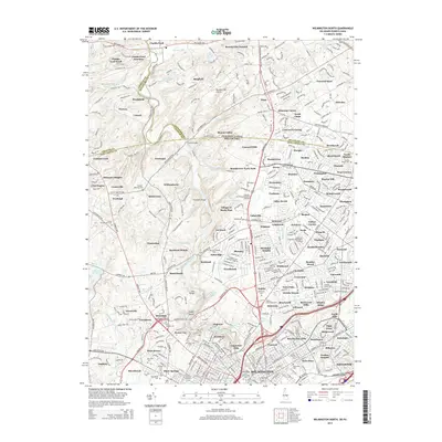
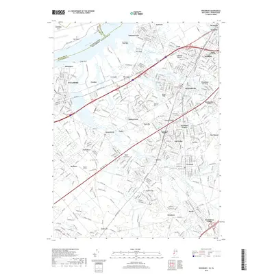
(22)- 2011 Map of Wilmington North, 2011 Print
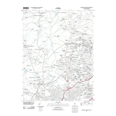 2011 Wilmington North2011 Print · USGSCovers Delaware County, including Wilmington, Birmingham Township, and other nearby areas
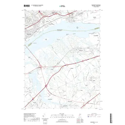
 - 2011 Map of Bridgeport, 2011 Print
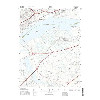
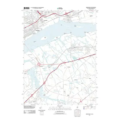 2011 Bridgeport2011 Print · USGSCovers Delaware County, including Chester, Ridley Park, and other nearby areas
 - 2011 Map of Woodbury, 2011 Print
 2011 Woodbury2011 Print · USGSCovers Delaware County, including Philadelphia, Washington Township, and other nearby areas
 - 2014 Map of Bridgeport, 2014 Print
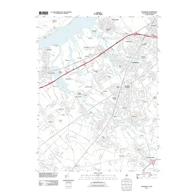
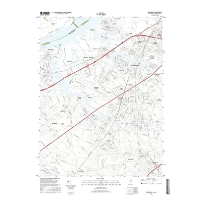
 2014 Bridgeport2014 Print · USGSCovers Delaware County, including Chester, Ridley Park, and other nearby areas
 - 2014 Map of Woodbury, 2014 Print
 2014 Woodbury2014 Print · USGSCovers Delaware County, including Philadelphia, Washington Township, and other nearby areas
 - 2014 Map of Wilmington North, 2014 Print
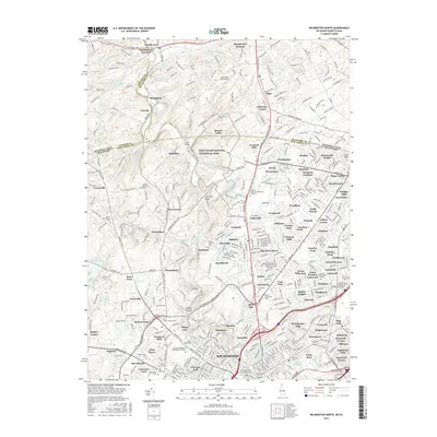
 2014 Wilmington North2014 Print · USGSCovers Delaware County, including Wilmington, Birmingham Township, and other nearby areas
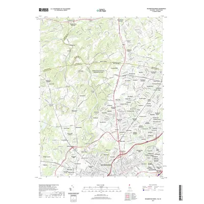
 - 2016 Map of Wilmington North, 2016 Print
 2016 Wilmington North2016 Print · USGSCovers Delaware County, including Wilmington, Birmingham Township, and other nearby areas
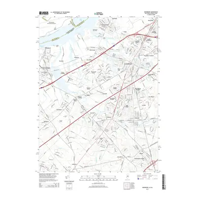
 - 2016 Map of Bridgeport, 2016 Print
 2016 Bridgeport2016 Print · USGSCovers Delaware County, including Chester, Ridley Park, and other nearby areas
 - 2016 Map of Woodbury, 2016 Print
 2016 Woodbury2016 Print · USGSCovers Delaware County, including Philadelphia, Washington Township, and other nearby areas
 - 2019 Map of Woodbury, 2019 Print
 2019 Woodbury2019 Print · USGSCovers Delaware County, including Philadelphia, Washington Township, and other nearby areas
 - 2019 Map of Bridgeport, 2019 Print
 2019 Bridgeport2019 Print · USGSCovers Delaware County, including Chester, Ridley Park, and other nearby areas
 - 2019 Map of Wilmington North, 2019 Print
 2019 Wilmington North2019 Print · USGSCovers Delaware County, including Wilmington, Birmingham Township, and other nearby areas
 - 2023 Map of West Chester, 2023 Print
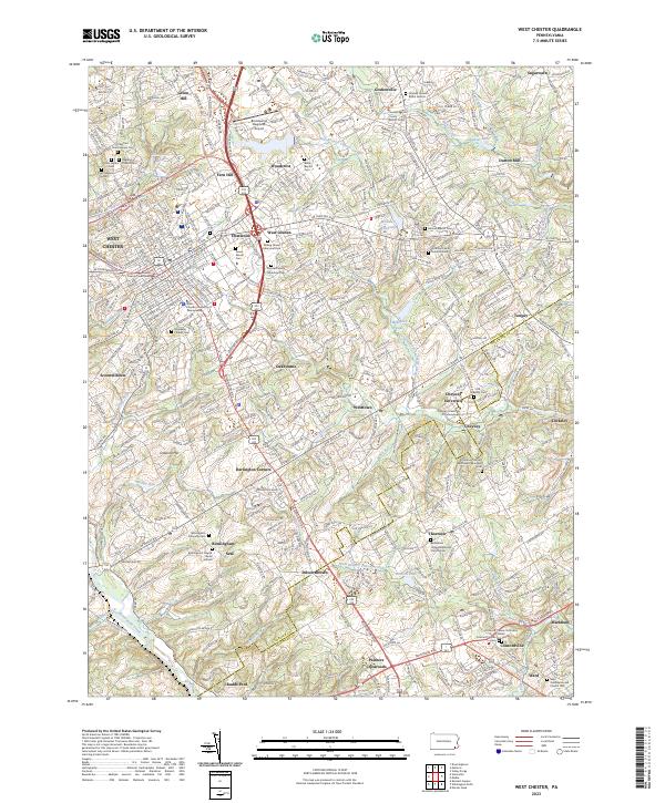 2023 West Chester2023 Print · USGSWest Chester and the surrounding Brandywine Valley townships appear here in their modern context, blending educational centers with colonial-era settlements. Researchers can locate numerous family burial sites, including the Hickman Family Burial Ground, Old Cheyney Cem, and Rosedale Friends Cem.
 - 2023 Map of Philadelphia, 2023 Print
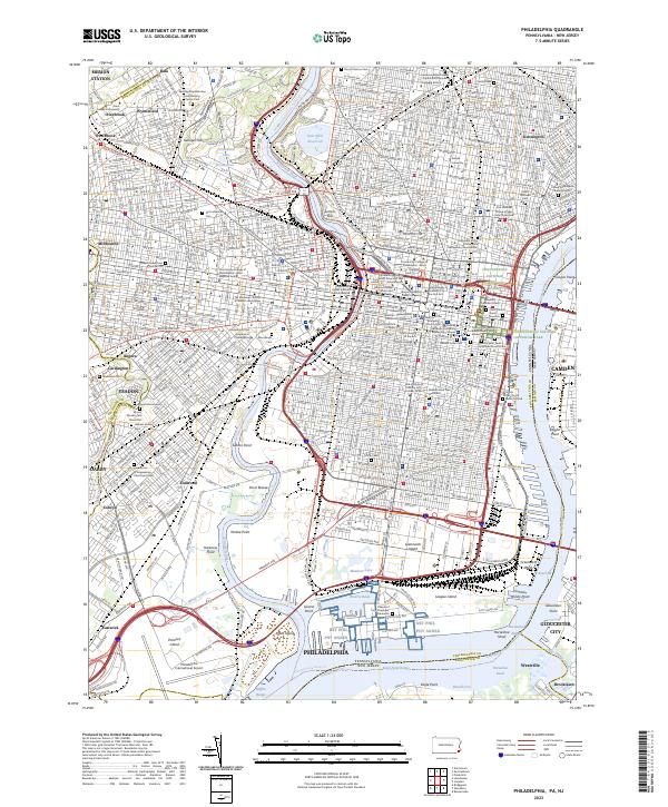 2023 Philadelphia2023 Print · USGSModern Philadelphia reveals its deep history along the Schuylkill River and Delaware River. Genealogists and historians can trace the city's past through Mount Moriah Cem, Mikveh Israel Cem, and the Edgar Allan Poe National Historic Site.
 - 2023 Map of Marcus Hook, 2023 Print
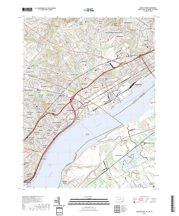 2023 Marcus Hook2023 Print · USGSThe industrial riverfront of Marcus Hook and the surrounding tri-state border region are shown here in modern detail. Researchers can locate numerous historic burial grounds including Old Saint Martins Episcopal Cem and Haven Memorial Cem among the neighborhoods of Garnet Valley and Linwood.
 - 2023 Map of Media, 2023 Print
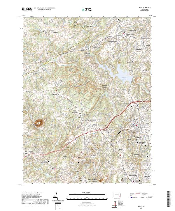 2023 Media2023 Print · USGSThe suburbs of Delaware County are shown in fine detail during the early 2020s, revealing a landscape where modern development meets centuries of Quaker history. Local researchers can trace family roots at Sandy Bank Burial Ground, the Willistown Friends Cem, and the colonial-era site of Sycamore Mills.
 - 2023 Map of Lansdowne, 2023 Print
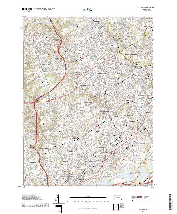 2023 Lansdowne2023 Print · USGSThe suburban development of Delaware County and Philadelphia's western edge is shown here in detail. Genealogy researchers can trace family plots at the Old Haverford Friends Meeting House or the Darby-Friends Burial Ground.
 - 2023 Map of Valley Forge, 2023 Print
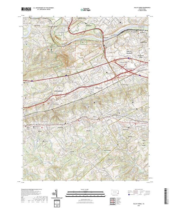 2023 Valley Forge2023 Print · USGSThe Main Line and Valley Forge area are documented here in the early twenty-first century, showing a dense landscape of historic burial grounds and modern suburbs. Genealogists can trace family sites like the Norris Family Burial Ground and Old Eagle Burying Ground near Wayne and Paoli.
 - 2023 Map of Norristown, 2023 Print
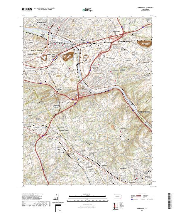 2023 Norristown2023 Print · USGSThe Schuylkill River corridor thrives in this contemporary look at Montgomery County's historic river towns. Researchers can trace family roots at Montgomery Cem or explore the campuses of Villanova University and Bryn Mawr College.
 - 2023 Map of Wilmington North, 2023 Print
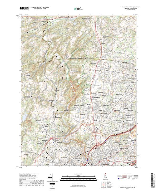 2023 Wilmington North2023 Print · USGSNorthern Delaware and the Pennsylvania borderlands appear here as a landscape of historic estates and modern suburban growth. Genealogists and historians can trace significant family and religious sites like the Du Pont de Nemours Cem and the Grace Episcopal Church.
 - 2023 Map of Woodbury, 2023 Print
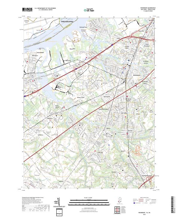 2023 Woodbury2023 Print · USGSGloucester County's transition from riverfront industry to suburban borough is captured here in the early twenty-first century. Genealogists can trace a high concentration of burial grounds, including Old Stephens Cem, Jesse Chew Cem, and the Mickleton Meeting House Graveyard.
 - 2023 Map of Bridgeport, 2023 Print
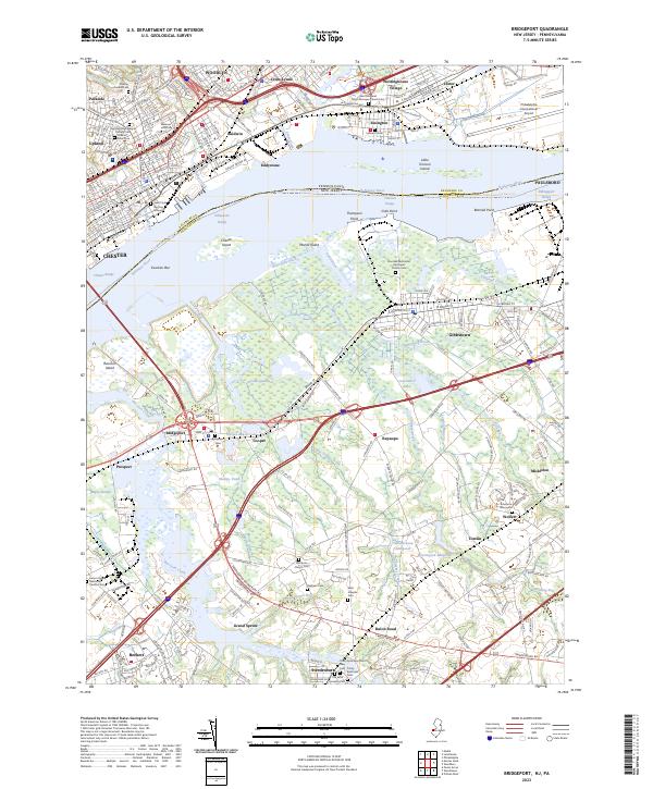 2023 Bridgeport2023 Print · USGSThe Delaware River corridor comes to life in this recent survey, showcasing the contrast between the industrial hubs of Pennsylvania and the rural marshlands of New Jersey. Researchers can trace historic burial grounds like Saint Pauls Burying Ground and Solomons Graveyard or explore the remnants of the Old Canal near Bridgeport.
End of results
Showing maps 1-22 of 22
Top cities of Delaware County
- Upper Darby historical maps
- Chester historical maps
- Radnor Township historical maps
- Marple Township historical maps
- Springfield Township historical maps
- Yeadon historical maps
See more
Frequently asked questions
- What are the different types of historical maps available for Delaware County?
- What is the oldest map of Delaware County?
- Where can I purchase historical maps of Delaware County for my home or office?
- Where can I download high-res historical maps of Delaware County?
- Are there historical topographic maps available for Delaware County?
- Is there historical aerial imagery available for Delaware County?
- Where are historical maps of Delaware County sourced from?