Old Maps of Caledonia, Jay Township for Academic Research
Study the evolution of Caledonia with 13 high-resolution historic maps. Whether you're teaching, researching, or modeling changes in land use, these maps provide essential visual documentation of urban, environmental, and geographic change.
- Analyze long-term change: Track patterns in development, transportation, and natural features.
- Ideal for environmental or urban studies: Support academic projects with primary historical map data.
- Use in the classroom or lab: Educators and researchers rely on these maps to bring historical context to life.
These maps are a powerful tool for teaching, research, and visualizing how Caledonia has changed over the decades.
Caledonia, Jay Township maps
(13)- 1941 Map of Benezette, 1952 Print
 1941 Benezette1952 Print · USGSElk County at the start of the 1940s reveals a network of valley settlements defined by the Pennsylvania RR and Sinnemahoning Creek. Researchers can trace rural life through scattered landmarks like Mt Zion Ch, Rathbun Sch, and the high point at Winslow Hill.3 unique versions available
 - 1943 Map of Benezette
 1943 Benezette1943 Print · USGSElk and Cameron counties are captured during the early 1940s, showing a landscape of deep timber-run hollows and active rail corridors. Local historians can locate vanished schoolhouses like Rathbun Sch, mountain churches such as Mt Zion Ch, and the winding tracks of the Pennsylvania railroad.2 unique versions available
 - 1957 Map of Warren, 1964 Print
 1957 Warren1964 Print · USGSThe northern Pennsylvania oil and timber country comes into focus in the mid-fifties, showing the region before modern highway expansions. Trace the industrial rail networks of the Pennsylvania RR and the early Allegheny River Reservoir near Warren and Oil City.4 unique versions available
 - 1958 Map of Warren
 1958 Warren1958 Print · USGSNorthern Pennsylvania’s timber and oil country is captured here during the late fifties, showing the interplay of industrial valleys and vast state forests. Genealogists can trace family connections across the Cornplanter Indian Reservation or through rail hubs like Oil City and Saint Marys.
 - 1959 Map of Warren
 1959 Warren1959 Print · USGSNorthern Pennsylvania's oil and timber country comes alive in this late-fifties study of the forest-clad plateaus. Trace the historic Cornplanter (Indian Reservation), the sprawling Oil Field, and the rail lines of the Pennsylvania RR.2 unique versions available
 - 1970 Map of Weedville, 1973 Print
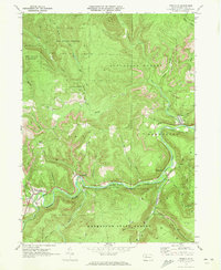 1970 Weedville1973 Print · USGSElk County at the start of the 1970s reveals a rugged coal and gas landscape along the Bennett Branch Sinnemahoning Creek. Trace the path of the Penn Central rail line through Weedville and Benezette, or locate family sites at Mt Zion Ch and Gray Cem.3 unique versions available
 - 1971 Map of Warren
 1971 Warren1971 Print · USGSNorth Central Pennsylvania is captured here in the early seventies, showing a landscape defined by industrial centers and massive state forests. Genealogists and historians can trace the rail lines of the Penn Central and Erie Lackawanna connecting towns like Warren, Kane, and Du Bois.
 - 1983 Map of Clearfield, 1984 Print
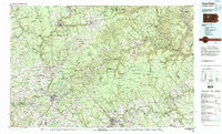 1983 Clearfield1984 Print · USGSPennsylvania's coal and timber heartland is captured in the early eighties as industrial hubs like Du Bois and Saint Marys thrived among the state forests. Genealogists can locate family landmarks like Morningside Cemetery, the old works at Dagus Mines, and the rural community of Byrnedale.
 - 2010 Map of Weedville, 2010 Print
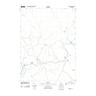 2010 Weedville2010 Print · USGSBenezette and the surrounding Elk County mountain valleys are shown in detail just after the turn of the millennium. Local historians can trace the creek-side settlements of Weedville and Medix Run, alongside family-named landmarks like Gray Hill and Gray Cemetery.
 - 2013 Map of Weedville, 2013 Print
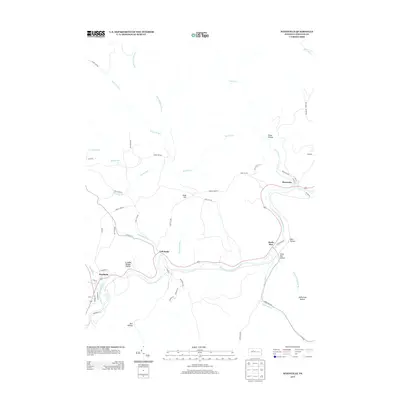 2013 Weedville2013 Print · USGSElk County's river valleys and high plateaus are documented here in the early twenty-first century as the traditional settlements of Benezette and Medix Run continue to anchor the region. Researchers can trace the winding course of Bennett Br Sinnemahoning Cr and locate local landmarks like Crooked Bridge Hollow and Gray Hill.
 - 2016 Map of Weedville, 2016 Print
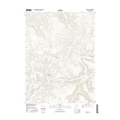 2016 Weedville2016 Print · USGSElk County's winding river valleys and steep ridges are captured here in the mid-2010s, centered on the Bennett Branch Sinnemahoning Creek. Researchers can locate family landmarks like Gray Cem on Gray Hill or trace old routes through Caledonia and Medix Run.
 - 2019 Map of Weedville, 2019 Print
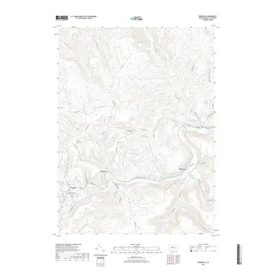 2019 Weedville2019 Print · USGSElk County's deep hollows and valley settlements are documented here in the late twenty-teens. Researchers can trace the legacy of small communities along Bennett Branch Sinnemahoning Creek, from the streets of Weedville to quiet sites like Gray Cem.
 - 2023 Map of Weedville, 2023 Print
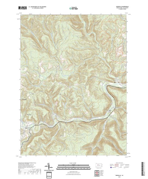 2023 Weedville2023 Print · USGSElk County’s deep valleys and timbered ridges are captured in this modern survey of the Bennett Branch valley. Researchers can trace the layout of mountain settlements and find local burial sites like Saint Joseph Cem and the Weedville United Methodist Cem.
End of results
Showing maps 1-13 of 13
Top cities near Caledonia
- Saint Marys historical maps
- Sandy Township historical maps
- Johnsonburg historical maps
- Emporium historical maps
- Goshen Township historical maps
- Benezette Township historical maps
Frequently asked questions
- What are the different types of historical maps available for Caledonia?
- What is the oldest map of Caledonia?
- Where can I purchase historical maps of Caledonia for my home or office?
- Where can I download high-res historical maps of Caledonia?
- Are there historical topographic maps available for Caledonia?
- Is there historical aerial imagery available for Caledonia?
- Where are historical maps of Caledonia sourced from?