Old Maps of Lamont, Jones Township for Academic Research
Study the evolution of Lamont with 13 high-resolution historic maps. Whether you're teaching, researching, or modeling changes in land use, these maps provide essential visual documentation of urban, environmental, and geographic change.
- Analyze long-term change: Track patterns in development, transportation, and natural features.
- Ideal for environmental or urban studies: Support academic projects with primary historical map data.
- Use in the classroom or lab: Educators and researchers rely on these maps to bring historical context to life.
These maps are a powerful tool for teaching, research, and visualizing how Lamont has changed over the decades.
Lamont, Jones Township maps
(13)- 1934 Map of Kane
 1934 Kane1934 Print · USGSThe timber and oil lands of McKean and Elk counties are captured here in the mid-1930s as a network of railroads and pipelines. Researchers can trace family roots in settlements like De Young PO, locate CCC Camp No 7, or find the Greendale Sch.3 unique versions available
 - 1939 Map of Kane
 1939 Kane1939 Print · USGSThe northern Pennsylvania plateau in the late 1930s is a landscape of timber-towns and industrial rail sidings. Genealogists and researchers can trace the old Baltimore and Ohio line through Kane, James City, and the rural Russell City De Young P O.3 unique versions available
 - 1957 Map of Warren, 1964 Print
 1957 Warren1964 Print · USGSThe northern Pennsylvania oil and timber country comes into focus in the mid-fifties, showing the region before modern highway expansions. Trace the industrial rail networks of the Pennsylvania RR and the early Allegheny River Reservoir near Warren and Oil City.4 unique versions available
 - 1958 Map of Warren
 1958 Warren1958 Print · USGSNorthern Pennsylvania’s timber and oil country is captured here during the late fifties, showing the interplay of industrial valleys and vast state forests. Genealogists can trace family connections across the Cornplanter Indian Reservation or through rail hubs like Oil City and Saint Marys.
 - 1959 Map of Warren
 1959 Warren1959 Print · USGSNorthern Pennsylvania's oil and timber country comes alive in this late-fifties study of the forest-clad plateaus. Trace the historic Cornplanter (Indian Reservation), the sprawling Oil Field, and the rail lines of the Pennsylvania RR.2 unique versions available
 - 1966 Map of James City, 1967 Print
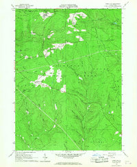 1966 James City1967 Print · USGSThe Pennsylvania Wilds in the 1960s are shown as a hub of energy production and forestry management. Researchers can trace the legacy of resource extraction through numerous Gas Wells and the Baltimore and Ohio Railroad near James City.3 unique versions available
 - 1971 Map of Warren
 1971 Warren1971 Print · USGSNorth Central Pennsylvania is captured here in the early seventies, showing a landscape defined by industrial centers and massive state forests. Genealogists and historians can trace the rail lines of the Penn Central and Erie Lackawanna connecting towns like Warren, Kane, and Du Bois.
 - 1980 Map of Bradford, 1982 Print
 1980 Bradford1982 Print · USGSNorthern Pennsylvania's oil country and deep forests are captured here during the 1980s. Genealogists and researchers can trace rail-side settlements like Kushequa, Gifford, and Lewis Run or locate specific Oil and Gas Field sites across the plateau.
 - 2011 Map of James City, 2011 Print
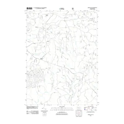 2011 James City2011 Print · USGSElk County at the start of the twenty-first century reveals a landscape of forest hamlets and winding waterways. Genealogists and researchers can locate family landmarks in James City and Highland Corners, or trace the remote Hanley Fire Tower.
 - 2013 Map of James City, 2013 Print
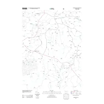 2013 James City2013 Print · USGSHighland Township and the surrounding timberlands are documented in the early twenty-first century as a network of camps and rural settlements. Genealogists and researchers can trace local routes like SACKETT RD to find landmarks such as the Hanley Fire Tower or the camps at Silver Creek Camp and Ben Hur Camp.
 - 2016 Map of James City, 2016 Print
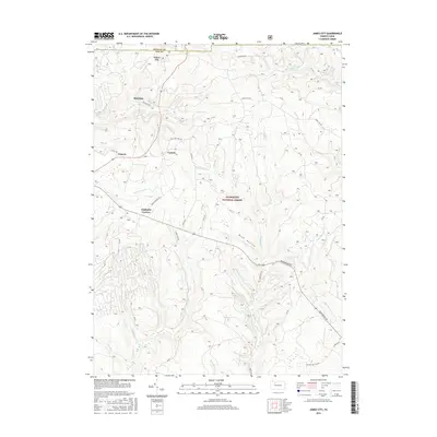 2016 James City2016 Print · USGSElk and McKean counties are captured here during a period of modern forestry and rural residency. Genealogists and hikers can trace the roads connecting James City, Highland Corners, and McKinley through the Allegheny National Forest.
 - 2019 Map of James City, 2019 Print
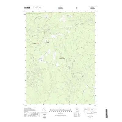 2019 James City2019 Print · USGSElk County's high forest plateaus are captured here in the late 2010s, showing the intersection of small township settlements and federal land. Researchers can locate the Highland Cem and trace recreation routes through James City or along Big Mill Cr.
 - 2023 Map of James City, 2023 Print
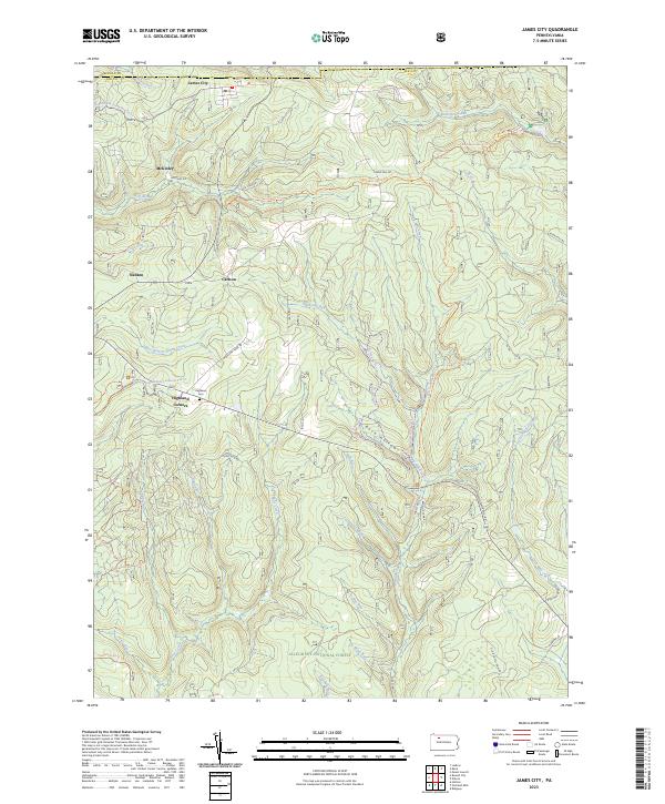 2023 James City2023 Print · USGSElk County's northern timberlands and small settlements are mapped here in the early twenty-first century as part of the Allegheny National Forest. Family historians can locate Highland Cem and trace old routes through James City, McKinley, and Nansen.
End of results
Showing maps 1-13 of 13
Top cities near Lamont
- Saint Marys historical maps
- Ridgway historical maps
- Kane historical maps
- Johnsonburg historical maps
- Lafayette Township historical maps
- Sheffield Township historical maps
See more
Frequently asked questions
- What are the different types of historical maps available for Lamont?
- What is the oldest map of Lamont?
- Where can I purchase historical maps of Lamont for my home or office?
- Where can I download high-res historical maps of Lamont?
- Are there historical topographic maps available for Lamont?
- Is there historical aerial imagery available for Lamont?
- Where are historical maps of Lamont sourced from?