2000s (21st Century) Maps of Erie County, Pennsylvania
Explore 37 historic maps of Erie County from the 2000s (21st Century). These maps offer a rare glimpse into what life looked like during the 2000s — showing old roads, neighborhoods, homes, and landmarks that have changed or disappeared over time.
Whether you're researching your family's past, planning a metal detecting trip, or studying how Erie County's landscape evolved across the 2000s, these high-resolution maps are a powerful tool for exploring the history of this region.
- Focus on a specific era: All maps on this page are from the 2000s, giving you a focused view of this time period.
- See what’s changed: Compare century-old streets, trails, and buildings to today's modern landscape using overlays and satellite layers.
- Research with precision: Use these maps for genealogy, historical research, land use analysis, or educational projects.
- View, download, or print: Maps are fully viewable online in high resolution, and can be downloaded or printed for your own records.
Start exploring Erie County's history through authentic maps from the 2000s. This is your window into the past.
Erie County, PA maps
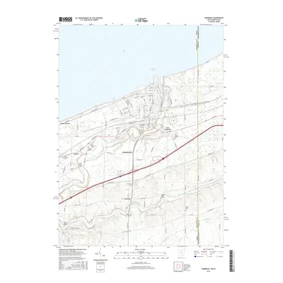
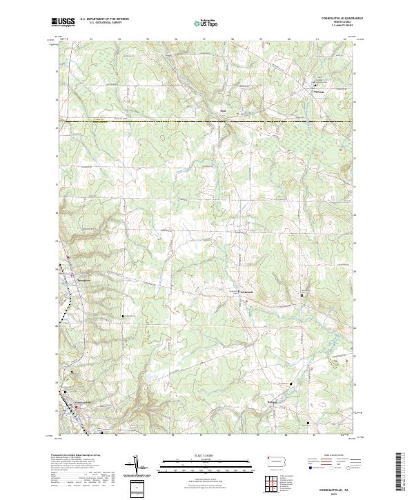
(37)- 2010 Map of Conneaut, 2010 Print
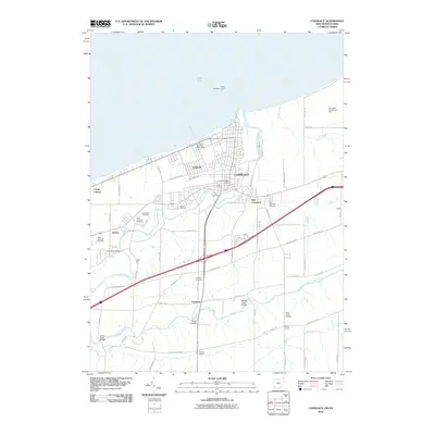 2010 Conneaut2010 Print · USGSCovers Erie County, including Conneaut, Monroe Township, and other nearby areas
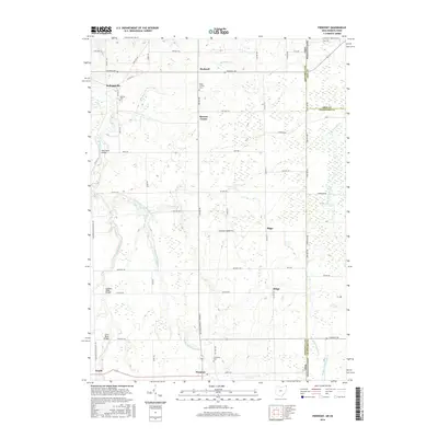
 - 2010 Map of Pierpont, 2010 Print
 2010 Pierpont2010 Print · USGSCovers Erie County, including Pierpont, Pierpont Township, and other nearby areas
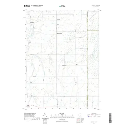
 - 2013 Map of Pierpont, 2013 Print
 2013 Pierpont2013 Print · USGSCovers Erie County, including Pierpont, Pierpont Township, and other nearby areas
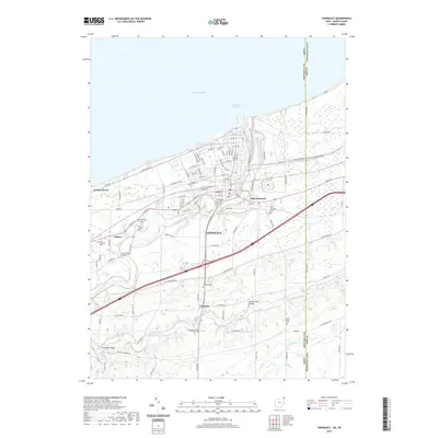
 - 2013 Map of Conneaut, 2013 Print
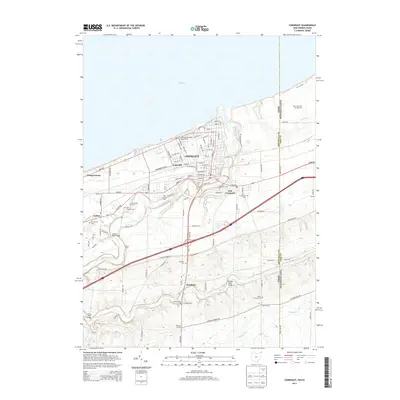 2013 Conneaut2013 Print · USGSCovers Erie County, including Conneaut, Monroe Township, and other nearby areas
 - 2016 Map of Conneaut, 2016 Print
 2016 Conneaut2016 Print · USGSCovers Erie County, including Conneaut, Monroe Township, and other nearby areas
 - 2016 Map of Pierpont, 2016 Print
 2016 Pierpont2016 Print · USGSCovers Erie County, including Pierpont, Pierpont Township, and other nearby areas
 - 2019 Map of Pierpont, 2019 Print
 2019 Pierpont2019 Print · USGSCovers Erie County, including Pierpont, Pierpont Township, and other nearby areas
 - 2019 Map of Conneaut, 2019 Print
 2019 Conneaut2019 Print · USGSCovers Erie County, including Conneaut, Monroe Township, and other nearby areas
 - 2023 Map of Erie North OE W, 2023 Print
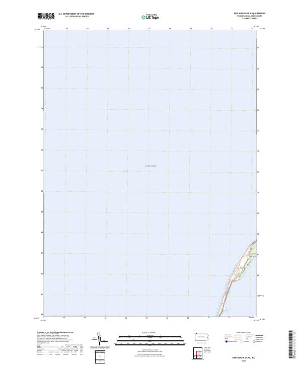 2023 Erie North OE W2023 Print · USGSThe northern reaches of Erie County meet the open water in this modern survey of the Presque Isle shoreline. Outdoor enthusiasts and local researchers can trace the coastal route of the Karl Boyes Multi-Purpose National Recreation Trl and the sharp turn at Big Bend.
 - 2023 Map of Fairview SW, 2023 Print
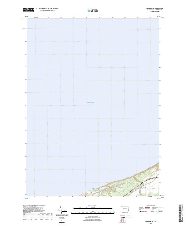 2023 Fairview SW2023 Print · USGSThe Pennsylvania lakefront meets the deep waters of the Great Lakes in this recent study of Erie County's coastal landscape. Trace the winding path of Crooked Creek as it reaches Lake Erie near local corridors like W Lake Rd and Holliday Rd.
 - 2023 Map of Hammett, 2023 Print
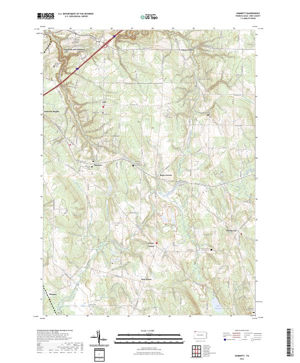 2023 Hammett2023 Print · USGSSoutheast of Erie in the early 2020s, this area maintains its character as a landscape of wooded gorges and quiet crossroads. Genealogists can locate numerous burial sites including Old Butler Burial Ground and Wales Cem near the historic Phillipsville settlement.
 - 2023 Map of Wattsburg, 2023 Print
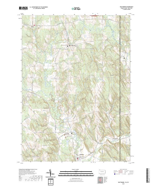 2023 Wattsburg2023 Print · USGSCrossing the Pennsylvania and New York border, this modern topographic study captures the rural hamlets and glacial terrain of Erie and Chautauqua counties. Genealogists can locate family burial sites like the Old Miller Burial Ground and Lowville Cem near the banks of the West Branch French Creek.
 - 2023 Map of North East OE N, 2023 Print
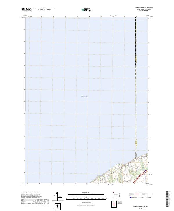 2023 North East OE N2023 Print · USGSThe Pennsylvania and New York border reaches the shoreline of Lake Erie in this recent survey of the coastal corridor. Researchers can trace the path of Twenty-mile Creek and the route of the Great Lakes Seaway Trail as they cross the state line.
 - 2023 Map of Cambridge Springs NE, 2023 Print
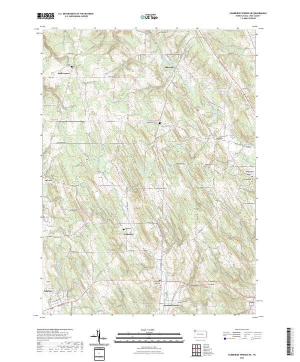 2023 Cambridge Springs NE2023 Print · USGSThe rolling uplands of southern Erie County are captured here in the early twenty-first century, centered on the historic crossroads of Draketown and Sibleyville. Genealogists can trace several burial sites including Sharpes Corners Cem and South Hill Cem alongside the waters of Little Conneauttee Creek.
 - 2023 Map of Beaver Center, 2023 Print
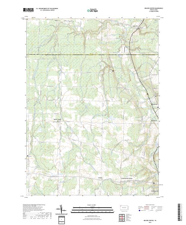 2023 Beaver Center2023 Print · USGSSettled along the creeks of Crawford County, this recent survey captures the rural landscape near Springboro and Beaver Center. Genealogists can locate family landmarks like Saint Sava Cem, Brooks Cem, and Keepville Cem.
 - 2023 Map of Cambridge Springs, 2023 Print
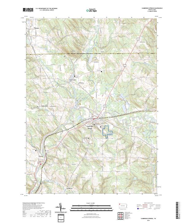 2023 Cambridge Springs2023 Print · USGSNorthwestern Pennsylvania's river valleys and rural crossroads are captured here in the twenty-first century as they continue to evolve. Researchers can trace the layout of longstanding communities like Cambridge Springs and Venango, or locate family sites at Skelton Town Cem and Gravel Run Cem.
 - 2023 Map of Waterford, 2023 Print
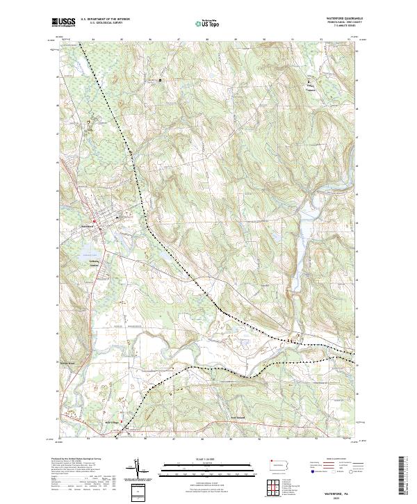 2023 Waterford2023 Print · USGSThe Erie County landscape around Waterford shows a detailed network of historic settlements and waterways in this recent survey. Researchers can locate Waterford Cemetery, trace the Norfolk Southern rail line, and explore smaller locales like Mill Village and New Ireland.
 - 2023 Map of North East, 2023 Print
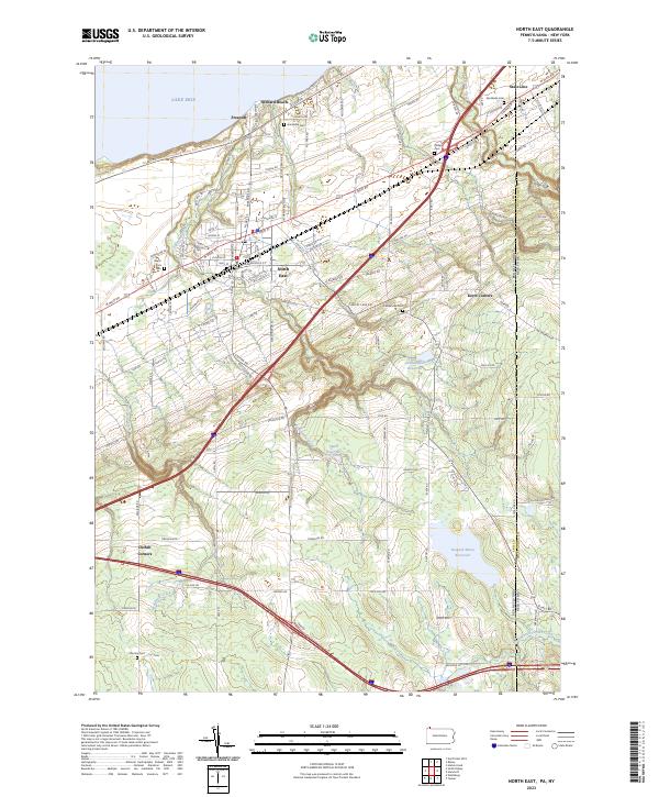 2023 North East2023 Print · USGSThe Lake Erie shoreline in the early 2020s shows a landscape of established lakeside communities and vital water resources. Researchers can trace family plots at North East Cem or Phillips Cem and locate historic crossroads like Kerrs Corners.
 - 2023 Map of Harborcreek, 2023 Print
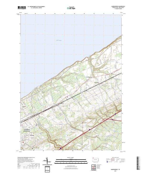 2023 Harborcreek2023 Print · USGSCoastal Erie County at the lake's edge shows a landscape defined by its historic creek crossings and shoreline transit routes. Researchers can trace family sites at Gospel Hill Burial Ground or Saint Gregory Cem and follow the old paths of Harborcreek and Moorheadville.
 - 2023 Map of Edinboro South, 2023 Print
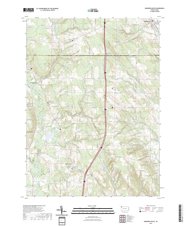 2023 Edinboro South2023 Print · USGSCrawford and Erie counties are shown here in modern detail, where the campus of Edinboro University of Pennsylvania meets the rural agricultural landscape. Genealogists can trace family plots across a dozen sites, including Saints Peter and Paul Orthodox Cem and Carmel - Freeman Cem.
 - 2023 Map of Conneautville, 2023 Print
 2023 Conneautville2023 Print · USGSCrawford County settlements and rural watercourses are documented here in the early 2020s. Genealogists can trace family landmarks across Conneautville and Springboro, including the Coblentz Cem and Rundell Cem.
 - 2023 Map of Fairview, 2023 Print
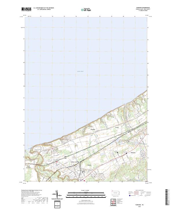 2023 Fairview2023 Print · USGSThe Lake Erie shoreline in the early twenty-first century reveals a dense network of rail junctions and residential growth. Trace family histories through local landmarks like Old Almshouse Cem, Wallace Junction, and the winding path of Elk Creek.
 - 2023 Map of Swanville, 2023 Print
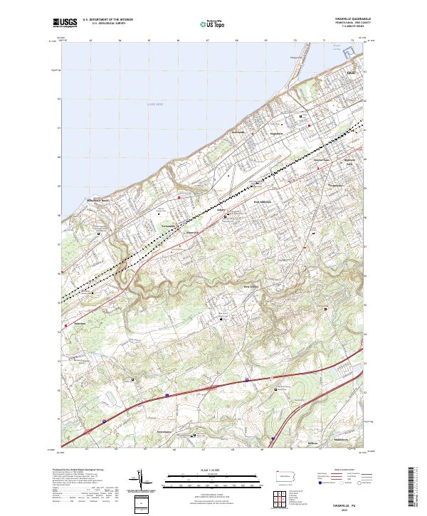 2023 Swanville2023 Print · USGSGreater Erie and its southwestern suburbs meet the lakefront in this contemporary topographic survey. Genealogists and local historians can trace burial sites from Trinity Cem to the Ruhl Cem and locate landmarks like the Fairview Evergreen Airport.
 - 2023 Map of Edinboro North, 2023 Print
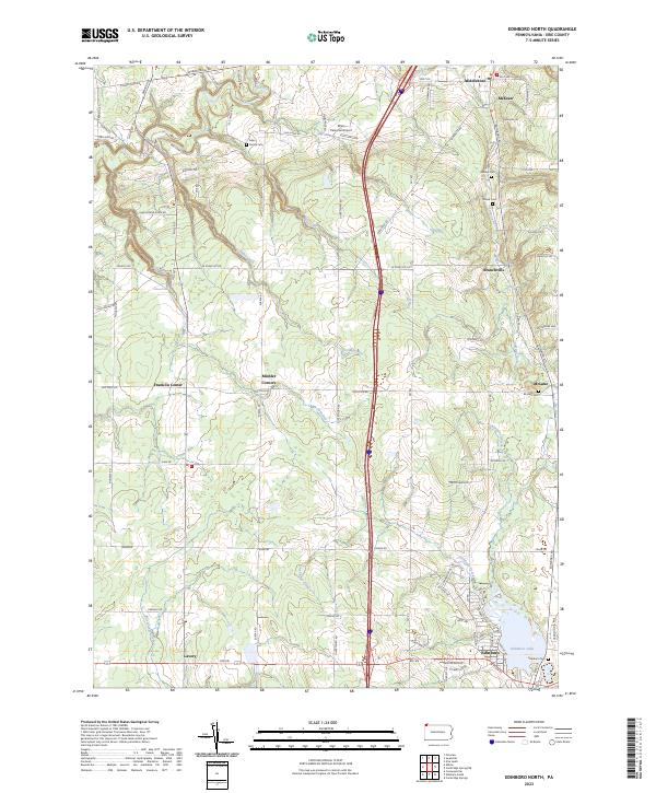 2023 Edinboro North2023 Print · USGSNorth of Edinboro in the early twenty-first century, this area of Erie County remains a landscape of historic crossroads and family cemeteries. Researchers can trace the legacy of early settlers at sites like the Allen Family Cem, McLane, and the falls along Falk Run.
 - 2023 Map of Erie North, 2023 Print
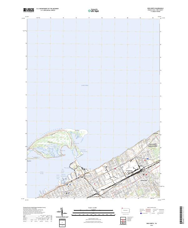 2023 Erie North2023 Print · USGSThe Erie waterfront and the protective arc of Presque Isle are shown in modern detail during the early 2020s. Researchers can locate Lakeside Cem, the Pennsylvania Soldier's and Sailor's Home Cem, and the urban expansion of Wesleyville.
Showing maps 1-25 of 37
Top cities of Erie County
- Erie historical maps
- Harborcreek Township historical maps
- Fairview Township historical maps
- North East historical maps
- Corry historical maps
- Edinboro historical maps
See more
Frequently asked questions
- What are the different types of historical maps available for Erie County?
- What is the oldest map of Erie County?
- Where can I purchase historical maps of Erie County for my home or office?
- Where can I download high-res historical maps of Erie County?
- Are there historical topographic maps available for Erie County?
- Is there historical aerial imagery available for Erie County?
- Where are historical maps of Erie County sourced from?