2000s (21st Century) Maps of Fairview Township, Pennsylvania
Explore 16 historic maps of Fairview Township from the 2000s (21st Century). These maps offer a rare glimpse into what life looked like during the 2000s — showing old roads, neighborhoods, homes, and landmarks that have changed or disappeared over time.
Whether you're researching your family's past, planning a metal detecting trip, or studying how Fairview Township's landscape evolved across the 2000s, these high-resolution maps are a powerful tool for exploring the history of this region.
- Focus on a specific era: All maps on this page are from the 2000s, giving you a focused view of this time period.
- See what’s changed: Compare century-old streets, trails, and buildings to today's modern landscape using overlays and satellite layers.
- Research with precision: Use these maps for genealogy, historical research, land use analysis, or educational projects.
- View, download, or print: Maps are fully viewable online in high resolution, and can be downloaded or printed for your own records.
Start exploring Fairview Township's history through authentic maps from the 2000s. This is your window into the past.
Fairview Township, PA maps
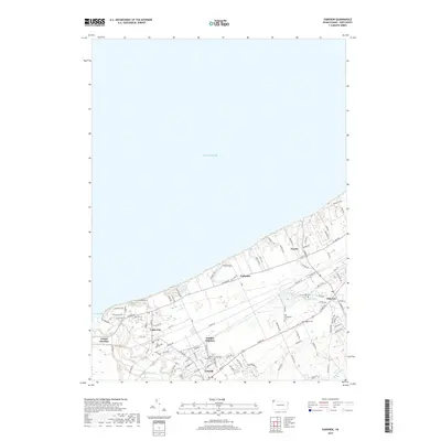
(16)- 2010 Map of Swanville, 2010 Print
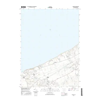
 2010 Swanville2010 Print · USGSCovers Fairview Township, including Erie, Weis Library, and other nearby areas
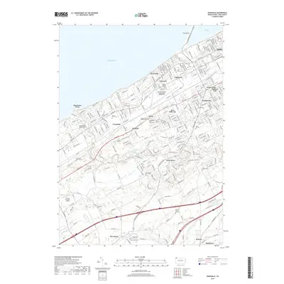
 - 2010 Map of Fairview, 2010 Print
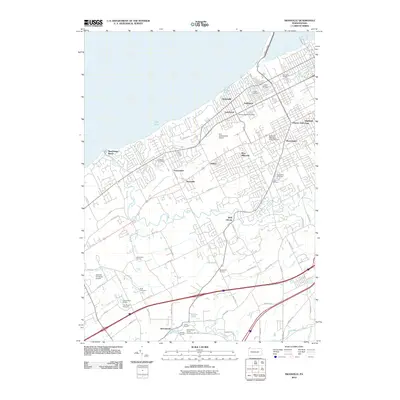
 2010 Fairview2010 Print · USGSCovers Fairview Township, including Girard, Lake City, and other nearby areas
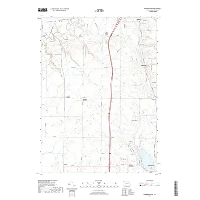
 - 2010 Map of Edinboro North, 2010 Print
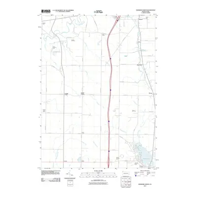 2010 Edinboro North2010 Print · USGSCovers Fairview Township, including McKean, McKean Township, and other nearby areas
 - 2013 Map of Fairview, 2013 Print
 2013 Fairview2013 Print · USGSCovers Fairview Township, including Girard, Lake City, and other nearby areas
 - 2013 Map of Swanville, 2013 Print
 2013 Swanville2013 Print · USGSCovers Fairview Township, including Erie, Weis Library, and other nearby areas
 - 2013 Map of Edinboro North, 2013 Print
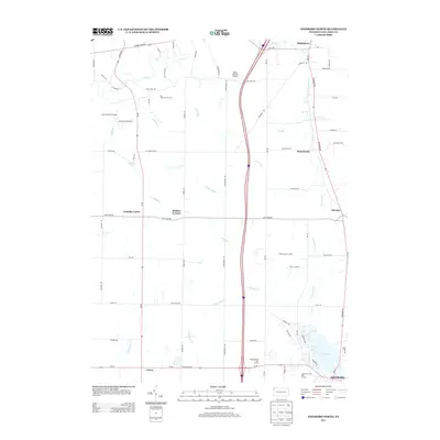 2013 Edinboro North2013 Print · USGSCovers Fairview Township, including McKean, McKean Township, and other nearby areas
 - 2016 Map of Edinboro North, 2016 Print
 2016 Edinboro North2016 Print · USGSCovers Fairview Township, including McKean, McKean Township, and other nearby areas
 - 2016 Map of Fairview, 2016 Print
 2016 Fairview2016 Print · USGSCovers Fairview Township, including Girard, Lake City, and other nearby areas
 - 2016 Map of Swanville, 2016 Print
 2016 Swanville2016 Print · USGSCovers Fairview Township, including Erie, Weis Library, and other nearby areas
 - 2019 Map of Fairview, 2019 Print
 2019 Fairview2019 Print · USGSCovers Fairview Township, including Girard, Lake City, and other nearby areas
 - 2019 Map of Swanville, 2019 Print
 2019 Swanville2019 Print · USGSCovers Fairview Township, including Erie, Weis Library, and other nearby areas
 - 2019 Map of Edinboro North, 2019 Print
 2019 Edinboro North2019 Print · USGSCovers Fairview Township, including McKean, McKean Township, and other nearby areas
 - 2023 Map of Fairview, 2023 Print
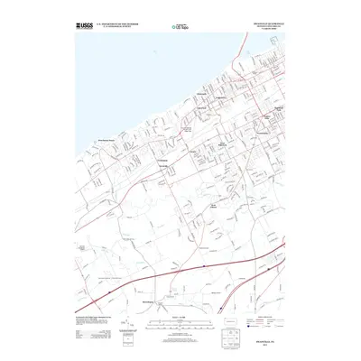
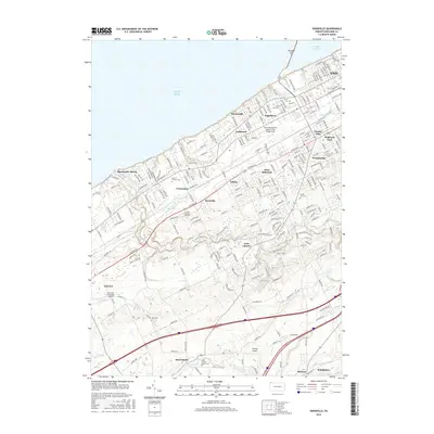
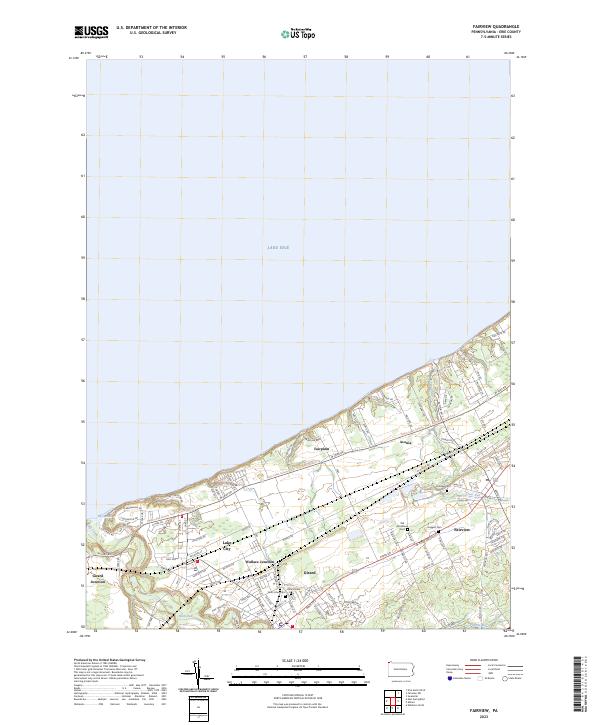 2023 Fairview2023 Print · USGSThe Lake Erie shoreline in the early twenty-first century reveals a dense network of rail junctions and residential growth. Trace family histories through local landmarks like Old Almshouse Cem, Wallace Junction, and the winding path of Elk Creek.
 - 2023 Map of Swanville, 2023 Print
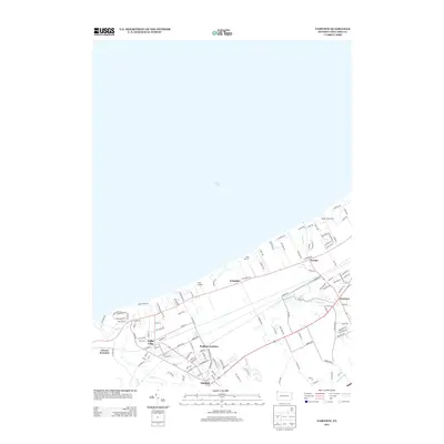
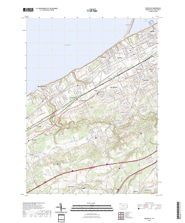 2023 Swanville2023 Print · USGSGreater Erie and its southwestern suburbs meet the lakefront in this contemporary topographic survey. Genealogists and local historians can trace burial sites from Trinity Cem to the Ruhl Cem and locate landmarks like the Fairview Evergreen Airport.
 - 2023 Map of Edinboro North, 2023 Print
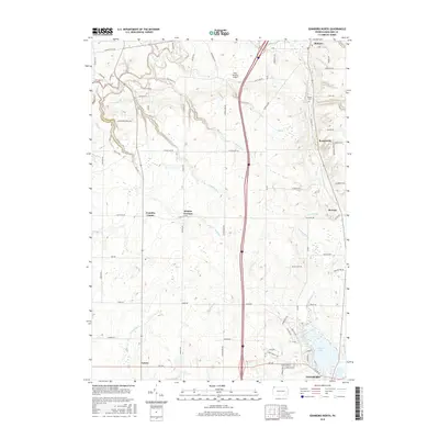
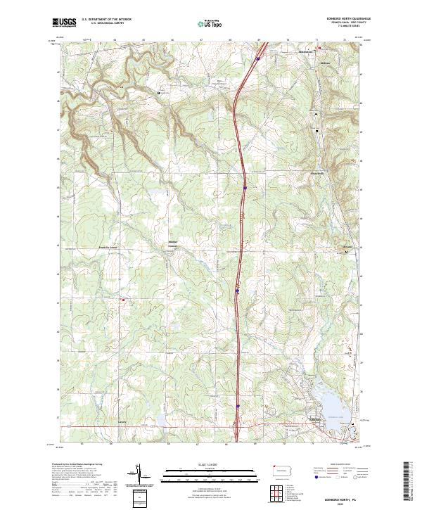 2023 Edinboro North2023 Print · USGSNorth of Edinboro in the early twenty-first century, this area of Erie County remains a landscape of historic crossroads and family cemeteries. Researchers can trace the legacy of early settlers at sites like the Allen Family Cem, McLane, and the falls along Falk Run.
 - 2023 Map of Albion, 2023 Print
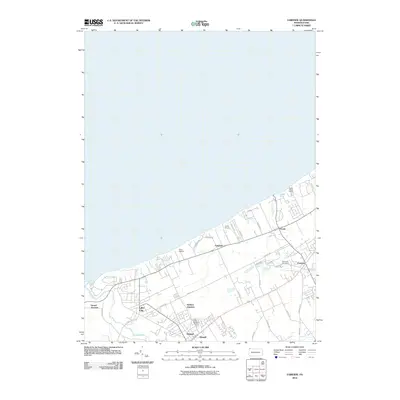
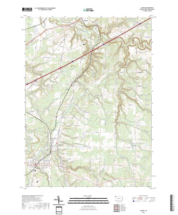 2023 Albion2023 Print · USGSCovers Fairview Township, including Albion, Cranesville, and other nearby areas
End of results
Showing maps 1-16 of 16
Top cities near Fairview Township
- Erie historical maps
- Harborcreek Township historical maps
- Edinboro historical maps
- Lawrence Park Township historical maps
- Wesleyville historical maps
- Girard historical maps
See more
Top neighborhoods of Fairview Township
- Manchester Beach historical maps
- Sterrettania historical maps
- Avonia historical maps
- Green Acres historical maps
- Honey Tree Hollow historical maps
- The Homes of Pine Grove historical maps
See more
Frequently asked questions
- What are the different types of historical maps available for Fairview Township?
- What is the oldest map of Fairview Township?
- Where can I purchase historical maps of Fairview Township for my home or office?
- Where can I download high-res historical maps of Fairview Township?
- Are there historical topographic maps available for Fairview Township?
- Is there historical aerial imagery available for Fairview Township?
- Where are historical maps of Fairview Township sourced from?