Old Maps of McKean Township, Pennsylvania
Explore 40 old maps of McKean Township, spanning from 1899 to today. These high-resolution historic maps reveal how streets, neighborhoods, landmarks, and natural features evolved over time — perfect for genealogy, metal detecting, research, and local history exploration.
What you can do with these maps:
- See how McKean Township changed over time: Compare historical maps to modern-day views to trace roads, homesites, rail lines & more.
- View detailed metadata: Each map includes creators, publishers, year, scale, and archive source.
- Overlay maps with satellite & LiDAR: Visualize the past alongside modern tools to explore terrain & human change.
- Trusted historical sources: Maps sourced from the USGS, Library of Congress, and other archives.
- Access maps your way: View online, download high-res files, or order prints for personal or research use.
Start exploring old maps of McKean Township to uncover forgotten places, hidden landmarks, and the deep history beneath your feet.
McKean Township, PA maps
(40)- 1899 Map of Erie, 1956 Print
 1899 Erie1956 Print · USGSThe industrial and maritime hub of Erie thrived at the turn of the century, anchored by its protected bay and extensive rail networks. Genealogists can trace family footprints through the street grids of ERIE and outlying hamlets like Wesleyville, Swanville, and Middleboro.
 - 1900 Map of Erie
 1900 Erie1900 Print · USGSLake Erie's shoreline and the growing industrial port of Erie are captured here at the end of the nineteenth century. Researchers can trace the early rail corridors and find local landmarks like West Library, Sterrettania, and the Presque Isle L.H..8 unique versions available
 - 1923 Map of Cambridge Springs, 1964 Print
 1923 Cambridge Springs1964 Print · USGSNorthwestern Pennsylvania in the 1920s reveals a landscape of rural schoolhouses and electric rail lines. Genealogists can trace family roots through numerous local landmarks like Saints Church, Carmel Cem, and the specialized Northwestern Electric railroad stops.
 - 1925 Map of Cambridge Springs
 1925 Cambridge Springs1925 Print · USGSNorthwestern Pennsylvania in the mid-1920s shows a landscape of busy crossroads and river towns connected by expanding rail lines. Genealogists can locate family-named sites like Mishler Corners and dozens of country schools such as Strong School and Sedgwick School.4 unique versions available
 - 1943 Map of Cambridge Springs
 1943 Cambridge Springs1943 Print · USGSNorthwestern Pennsylvania in the early 1940s is shown as a thriving network of small schoolhouses and rail junctions. Genealogists can locate family landmarks like Mitchell Cem, the village of Edinboro, and rural hubs such as Drakes Mills.
 - 1950 Map of Cleveland
 1950 Cleveland1950 Print · USGSCovers McKean Township, including Cleveland, Akron, and other nearby areas
 - 1950 Map of Erie, 1953 Print
 1950 Erie1953 Print · USGSThe northern and southern shores of the Great Lakes meet in the mid-twentieth century, showcasing the vital shipping and rail corridors between Ontario and Pennsylvania. Trace the routes of the Michigan Central railroad or locate coastal landmarks like Presque Isle Light and the settlement of Iona Station.
 - 1956 Map of Cleveland, 1967 Print
 1956 Cleveland1967 Print · USGSNortheast Ohio and Western Pennsylvania are shown at their industrial height during the mid-fifties, from the steel mills to the lakeshore. Researchers can trace the massive Ravenna Arsenal, the Ohio Turnpike, and vanished rail sidings of the B & O RR.3 unique versions available
 - 1957 Map of Erie South, 1959 Print
 1957 Erie South1959 Print · USGSMid-century Erie shows its southern expansion toward the hills of Summit Township just as suburban growth began to accelerate. Genealogists and local researchers can locate numerous parish schools, the sprawling Erie Cemetery, and rural landmarks like St Matthews Ch and Five Points.4 unique versions available
 - 1957 Map of Swanville, 1959 Print
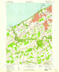 1957 Swanville1959 Print · USGSThe western suburbs of Erie and the Lake Erie shoreline are captured in the late fifties as residential growth moved toward the countryside. Genealogists and local historians can trace family locations near Waldameer Park, Middleboro, and the historic Weis Library.5 unique versions available
 - 1959 Map of Erie, 1974 Print
 1959 Erie1974 Print · USGSCoastal communities and busy international rail lines define the North Shore and Pennsylvania lakefront during the late fifties and early seventies. Researchers can trace historic docklands and depot sites in Erie, Port Burwell, and Simcoe alongside the extensive reaches of Long Point.2 unique versions available
 - 1962 Map of Cleveland
 1962 Cleveland1962 Print · USGSNortheast Ohio and the Pennsylvania borderlands appear here during the industrial peak of the early sixties. Genealogists and historians can trace the expansive rail lines of the Nickel Plate Road and the growth of suburbs from Parma to Lyndhurst.
 - 1965 Map of Erie
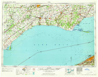 1965 Erie1965 Print · USGSSouthern Ontario and the Pennsylvania shore are captured in the late fifties, showcasing a robust rail-and-water economy. Trace family roots and old harbor towns like Port Stanley or explore the Six Nations Indian Reserve.
 - 1967 Map of Cambridge Springs NE, 1972 Print
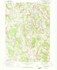 1967 Cambridge Springs NE1972 Print · USGSSouthern Erie County in the late sixties reveals a landscape of enduring rural crossroads and family homesteads. Genealogists can trace the locales of Sibleyville, Draketown, and Edinboro alongside landmarks like Washington Valley Church.3 unique versions available
 - 1967 Map of Edinboro North, 1972 Print
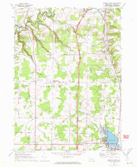 1967 Edinboro North1972 Print · USGSErie County's southern townships and the shores of Edinboro Lake are shown here as they appeared in the late sixties. Researchers can trace rural lineages through local landmarks like Golden Cem, McKean Sch, and the crossroads at Mishler Corners.3 unique versions available
 - 1985 Map of Erie, 1986 Print
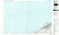 1985 Erie1986 Print · USGSThe Pennsylvania lakefront and the city of Erie are documented here in the mid-eighties, highlighting the region's transition from industrial hub to regional center. Genealogists and researchers can trace the neighborhoods of Wesleyville and Lake City or locate landmarks like Waldameer Park and the Conrail lines.
 - 1986 Map of Ashtabula
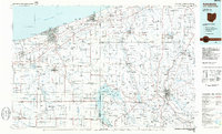 1986 Ashtabula1986 Print · USGSThe Lake Erie shoreline and the rural borderlands of Ohio and Pennsylvania are captured here as they appeared in the 1980s. You can trace industrial rail lines like the BESSEMER AND LAKE ERIE or locate family sites near Kelloggsville Cem and Pymatuning State Park.2 unique versions available
 - 1988 Map of Erie, 1989 Print
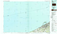 1988 Erie1989 Print · USGSThe Lake Erie shoreline in the late eighties reveals a landscape of industrial hubs and coastal recreation. Genealogists and local historians can trace the footprints of Millcreek, the protected waters of Misery Bay, and the historic Lighthouse at the edge of the lake.
 - 1996 Map of Erie South, 1997 Print
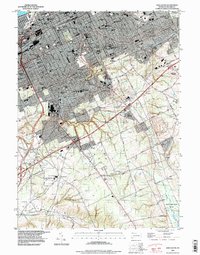 1996 Erie South1997 Print · USGSGreater Erie in the late nineties shows a city in transition, where established neighborhoods meet the expanding suburbs of Summit Township. Genealogists can trace family sites from Erie Cem and Wintergreen Gorge Cem to schools like McKinley Sch and Tech High Sch.
 - 1998 Map of Swanville, 1999 Print
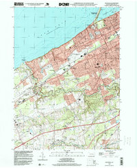 1998 Swanville1999 Print · USGSThe Lake Erie shoreline and the expanding suburbs of Erie are captured here in the late nineties as modern infrastructure began to reshape the landscape. Genealogists and local historians can locate Trinity Cem, Villa Maria Academy, and the early layout of Swanville.
 - 2010 Map of Swanville, 2010 Print
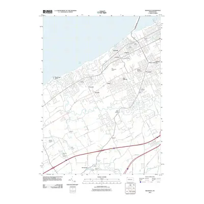 2010 Swanville2010 Print · USGSThe Erie County shoreline and its suburban expansion are documented here in the early twenty-first century. Genealogists and local historians can trace family locations near Sterrettania, Weis Library, and several burial grounds like Laurel Hill Cemetery.
 - 2010 Map of Erie South, 2010 Print
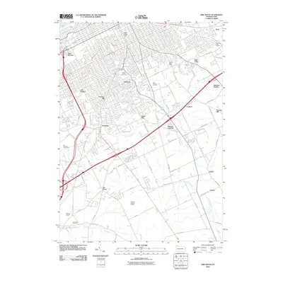 2010 Erie South2010 Print · USGSThe southern outskirts of Erie and the surrounding township are captured here at the start of the decade, showing the city's suburban transition. Genealogists and local historians can trace the grounds of Erie Cemetery, the settlement at Kearsarge, and the rural routes near LeBoeuf Creek.
 - 2010 Map of Cambridge Springs NE, 2010 Print
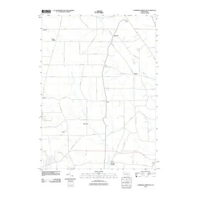 2010 Cambridge Springs NE2010 Print · USGSMcKean Township and the surrounding Erie County countryside are shown here at the start of the 2010s. Genealogists and local historians can trace family-named crossroads like Strongs Corners and the area near McLallen Post Office.
 - 2010 Map of Edinboro North, 2010 Print
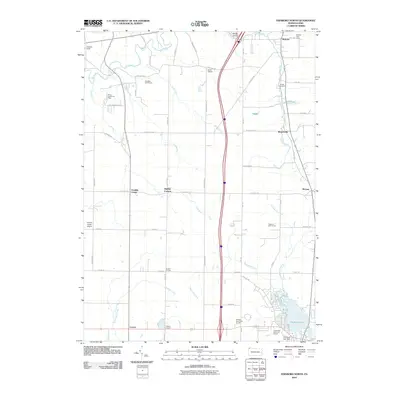 2010 Edinboro North2010 Print · USGSCovers McKean Township, including Fairview Township, McKean, and other nearby areas
 - 2013 Map of Erie South, 2013 Print
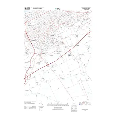 2013 Erie South2013 Print · USGSThe southern suburbs of Erie and the rising hills of the Pennsylvania lake plain are mapped here in the early twenty-first century. Local historians can trace the development of neighborhoods like Glenwood and Kearsarge, or locate landmarks such as the Glenwood Park Zoo and Dock Junction.
Showing maps 1-25 of 40
Top cities near McKean Township
- Erie historical maps
- Harborcreek Township historical maps
- Fairview Township historical maps
- Edinboro historical maps
- Lawrence Park Township historical maps
- Wesleyville historical maps
See more
Top neighborhoods of McKean Township
- Dunn Valley historical maps
- Sibleyville historical maps
- Reeds Corners historical maps
- Branchville historical maps
- Colonial Village historical maps
- Georgetown Heights historical maps
See more
Frequently asked questions
- What are the different types of historical maps available for McKean Township?
- What is the oldest map of McKean Township?
- Where can I purchase historical maps of McKean Township for my home or office?
- Where can I download high-res historical maps of McKean Township?
- Are there historical topographic maps available for McKean Township?
- Is there historical aerial imagery available for McKean Township?
- Where are historical maps of McKean Township sourced from?