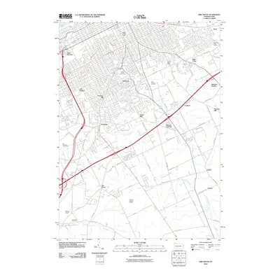
2010 Map of Erie South
USGS Topo · Published 2010About this map
Mill Creek and Walnut Creek drain this landscape south of Lake Erie, where suburban expansion meets the agricultural margins of Erie County. The transition from the urban grid of the city to the outlying residential clusters of Erie Heights, Chestnut Hill, and Belle Valley is marked by significant recreational and civic landmarks, including the Glenwood Park Zoo and the Joseph Martin Golf Course.
Find a feature on this map
74 named features on this map. Tap any name to fly to it.
Don’t see what you’re looking for? This feature index may not catch every label — zoom into the map to look around manually.
Map Details
Editions of this 2010 Erie South Map
This is the sole edition of this map. No revisions or reprints were ever made.
Other maps of this area

1899 · Erie
USGS Topo · 1:62,500

1900 · Erie
USGS Topo · 1:62,500

1913 · North East
USGS Topo · 1:62,500

1915 · North East
USGS Topo · 1:62,500

1923 · Cambridge Springs
USGS Topo · 1:62,500

1925 · Cambridge Springs
USGS Topo · 1:62,500

1929 · Union City
USGS Topo · 1:62,500

1932 · Union City
USGS Topo · 1:62,500

1943 · North East
USGS Topo · 1:62,500

1943 · Cambridge Springs
USGS Topo · 1:62,500