2000s (21st Century) Maps of North East Township, Pennsylvania
Explore 15 historic maps of North East Township from the 2000s (21st Century). These maps offer a rare glimpse into what life looked like during the 2000s — showing old roads, neighborhoods, homes, and landmarks that have changed or disappeared over time.
Whether you're researching your family's past, planning a metal detecting trip, or studying how North East Township's landscape evolved across the 2000s, these high-resolution maps are a powerful tool for exploring the history of this region.
- Focus on a specific era: All maps on this page are from the 2000s, giving you a focused view of this time period.
- See what’s changed: Compare century-old streets, trails, and buildings to today's modern landscape using overlays and satellite layers.
- Research with precision: Use these maps for genealogy, historical research, land use analysis, or educational projects.
- View, download, or print: Maps are fully viewable online in high resolution, and can be downloaded or printed for your own records.
Start exploring North East Township's history through authentic maps from the 2000s. This is your window into the past.
North East Township, PA maps
(15)- 2010 Map of North East OE N, 2010 Print
 2010 North East OE N2010 Print · USGSCovers North East Township, including Ripley, Erie County, and other nearby areas
 - 2010 Map of North East, 2010 Print
 2010 North East2010 Print · USGSCovers North East Township, including North East, Ripley, and other nearby areas
 - 2010 Map of Harborcreek, 2010 Print
 2010 Harborcreek2010 Print · USGSCovers North East Township, including Harborcreek Township, Sheridan Corners, and other nearby areas
 - 2013 Map of Harborcreek, 2013 Print
 2013 Harborcreek2013 Print · USGSCovers North East Township, including Harborcreek Township, Sheridan Corners, and other nearby areas
 - 2013 Map of North East, 2013 Print
 2013 North East2013 Print · USGSCovers North East Township, including North East, Ripley, and other nearby areas
 - 2013 Map of North East OE N, 2013 Print
 2013 North East OE N2013 Print · USGSCovers North East Township, including Ripley, Erie County, and other nearby areas
 - 2016 Map of North East, 2016 Print
 2016 North East2016 Print · USGSCovers North East Township, including North East, Ripley, and other nearby areas
 - 2016 Map of North East OE N, 2016 Print
 2016 North East OE N2016 Print · USGSCovers North East Township, including Ripley, Erie County, and other nearby areas
 - 2016 Map of Harborcreek, 2016 Print
 2016 Harborcreek2016 Print · USGSCovers North East Township, including Harborcreek Township, Sheridan Corners, and other nearby areas
 - 2019 Map of North East, 2019 Print
 2019 North East2019 Print · USGSCovers North East Township, including North East, Ripley, and other nearby areas
 - 2019 Map of Harborcreek, 2019 Print
 2019 Harborcreek2019 Print · USGSCovers North East Township, including Harborcreek Township, Sheridan Corners, and other nearby areas
 - 2019 Map of North East OE N, 2019 Print
 2019 North East OE N2019 Print · USGSCovers North East Township, including Ripley, Erie County, and other nearby areas
 - 2023 Map of North East OE N, 2023 Print
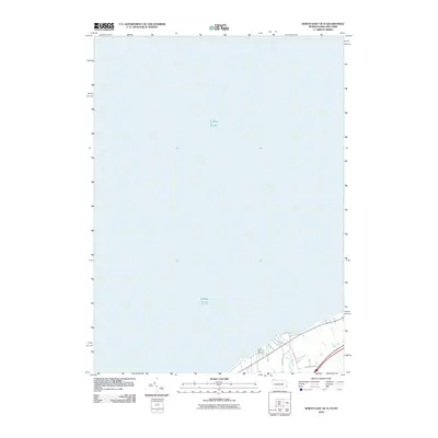
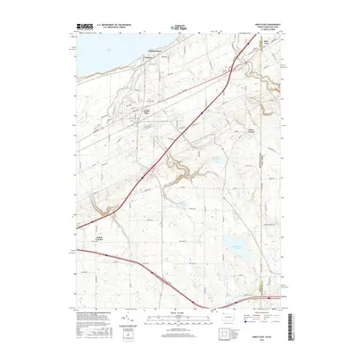
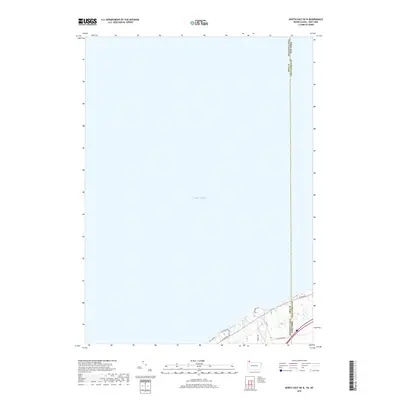
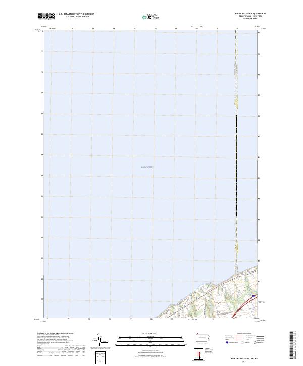 2023 North East OE N2023 Print · USGSThe Pennsylvania and New York border reaches the shoreline of Lake Erie in this recent survey of the coastal corridor. Researchers can trace the path of Twenty-mile Creek and the route of the Great Lakes Seaway Trail as they cross the state line.
 - 2023 Map of North East, 2023 Print
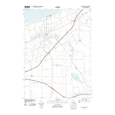
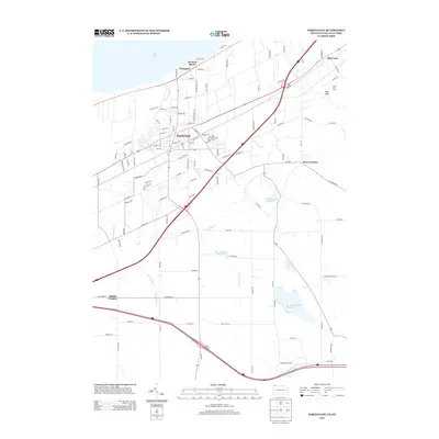
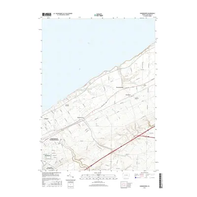
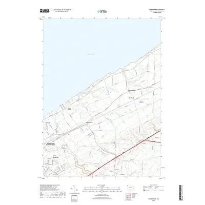
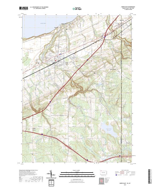 2023 North East2023 Print · USGSThe Lake Erie shoreline in the early 2020s shows a landscape of established lakeside communities and vital water resources. Researchers can trace family plots at North East Cem or Phillips Cem and locate historic crossroads like Kerrs Corners.
 - 2023 Map of Harborcreek, 2023 Print
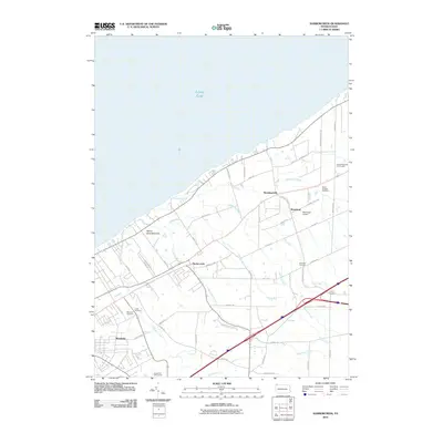
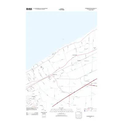
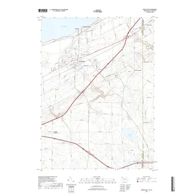
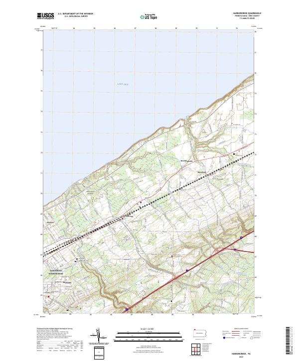 2023 Harborcreek2023 Print · USGSCoastal Erie County at the lake's edge shows a landscape defined by its historic creek crossings and shoreline transit routes. Researchers can trace family sites at Gospel Hill Burial Ground or Saint Gregory Cem and follow the old paths of Harborcreek and Moorheadville.
End of results
Showing maps 1-15 of 15
Top cities near North East Township
- Erie historical maps
- Harborcreek Township historical maps
- North East historical maps
- Westfield historical maps
- Lawrence Park Township historical maps
- Wesleyville historical maps
See more
Top neighborhoods of North East Township
- Northville historical maps
- Kerrs Corners historical maps
- Delhill Corners historical maps
- Orchard Beach historical maps
- Sheridan Corners historical maps
- Freeport historical maps
See more
Frequently asked questions
- What are the different types of historical maps available for North East Township?
- What is the oldest map of North East Township?
- Where can I purchase historical maps of North East Township for my home or office?
- Where can I download high-res historical maps of North East Township?
- Are there historical topographic maps available for North East Township?
- Is there historical aerial imagery available for North East Township?
- Where are historical maps of North East Township sourced from?