2000s (21st Century) Maps of German Township, Pennsylvania
Explore 20 historic maps of German Township from the 2000s (21st Century). These maps offer a rare glimpse into what life looked like during the 2000s — showing old roads, neighborhoods, homes, and landmarks that have changed or disappeared over time.
Whether you're researching your family's past, planning a metal detecting trip, or studying how German Township's landscape evolved across the 2000s, these high-resolution maps are a powerful tool for exploring the history of this region.
- Focus on a specific era: All maps on this page are from the 2000s, giving you a focused view of this time period.
- See what’s changed: Compare century-old streets, trails, and buildings to today's modern landscape using overlays and satellite layers.
- Research with precision: Use these maps for genealogy, historical research, land use analysis, or educational projects.
- View, download, or print: Maps are fully viewable online in high resolution, and can be downloaded or printed for your own records.
Start exploring German Township's history through authentic maps from the 2000s. This is your window into the past.
German Township, PA maps
(20)- 2010 Map of Smithfield, 2010 Print
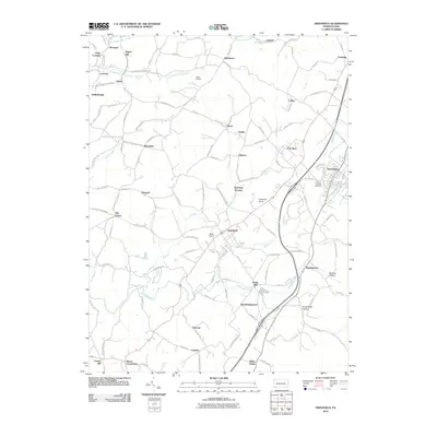 2010 Smithfield2010 Print · USGSFayette County at the turn of the 21st century remains a network of traditional crossroad settlements and small-scale industry. Researchers can trace local genealogy and land use across Smithfield, the village of Haydentown, and the historical site at Ruble Mill.
 - 2010 Map of New Salem, 2010 Print
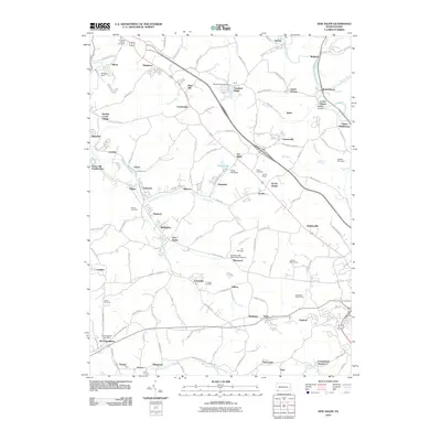 2010 New Salem2010 Print · USGSFayette County’s industrial landscape is captured here in the early twenty-first century, showcasing a legacy of coal-patch towns and rural hamlets. Researchers can trace family roots through numerous sites like Tomasza Cemetery, the Old Toll House, and the McClellandtown Post Office.
 - 2010 Map of Masontown, 2010 Print
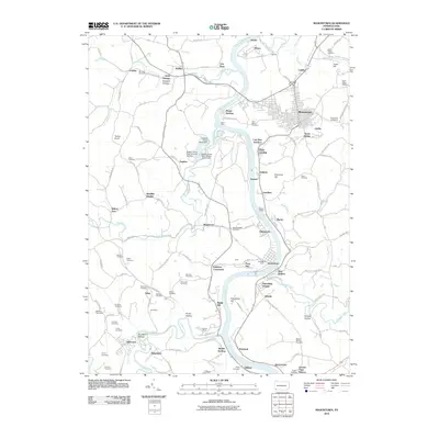 2010 Masontown2010 Print · USGSThe Monongahela River valley comes alive in this 2010 survey of Fayette County and the border of Greene County. Genealogists can trace family names through dozens of burial sites like Saint Agnes Cemetery and Mundell Cemetery, while industrial historians can locate the Poland Mines and Rocks Works.
 - 2010 Map of Carmichaels, 2010 Print
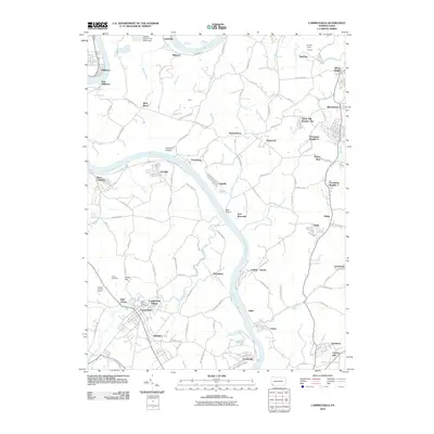 2010 Carmichaels2010 Print · USGSSouthwestern Pennsylvania's river-driven industrial landscape is captured here in the early twenty-first century. Genealogists and historians can trace family roots through Horner Cemetery, explore the coal-patch layouts of Crucible and Nemacolin, or locate the Simpson Tunnel.
 - 2013 Map of Masontown, 2013 Print
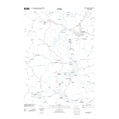 2013 Masontown2013 Print · USGSFayette and Greene counties are seen here in the early twenty-first century as the Monongahela River winds past long-standing river towns. Researchers can trace historical routes through Greensboro, Masontown, and New Geneva, or locate local landmarks like the Greensburg Ferry and Rocks Works.
 - 2013 Map of New Salem, 2013 Print
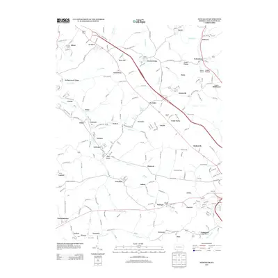 2013 New Salem2013 Print · USGSFayette County coal and patch towns are mapped in detail during the early twenty-first century. Genealogists and researchers can trace local landmarks like the Old Toll House, the rail junction at Ache Junction, and the distinct layouts of Brier Hill and Keisterville.
 - 2013 Map of Smithfield, 2013 Print
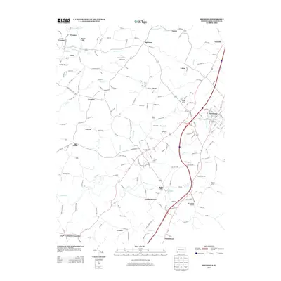 2013 Smithfield2013 Print · USGSFayette County communities are captured in detail during the early 2010s, showing the settled valleys between the local ridges. Genealogists and historians can trace family locations near Ruble Mill, Old Frame, and the heights of Goodwin Knob.
 - 2013 Map of Carmichaels, 2013 Print
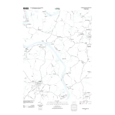 2013 Carmichaels2013 Print · USGSThe Monongahela River corridor comes into sharp focus in the early 2010s, showing the enduring footprint of Pennsylvania's river-and-rail economy. Genealogists and historians can trace the layouts of Crucible, Nemacolin, and Carmichaels in fine detail.
 - 2016 Map of Masontown, 2016 Print
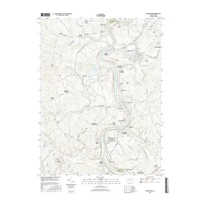 2016 Masontown2016 Print · USGSThe Monongahela River valley comes to life in this recent study of the Greene and Fayette County border during the mid-2010s. Researchers can trace family roots through numerous sites like Garrison Cem or explore the grounds of the Friendship Hill National Historic Site.
 - 2016 Map of New Salem, 2016 Print
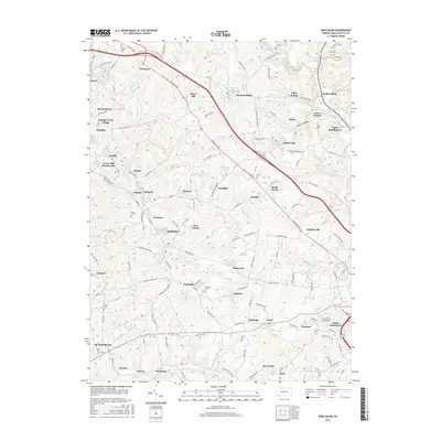 2016 New Salem2016 Print · USGSFayette County’s industrial and residential corridors are etched into this modern survey of the historic National Pike region. Genealogists and historians can trace the footprint of several coal-era settlements and burial sites like Tower Hill Number One, Saint Peters Cem, and Rocks Works.
 - 2016 Map of Smithfield, 2016 Print
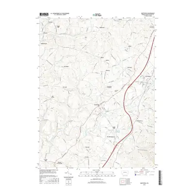 2016 Smithfield2016 Print · USGSFayette County's coal-patch heritage and rural crossroads are preserved in this detailed study of the Smithfield area. Researchers can trace family roots through sites like Maple Grove Cem, Gans Hill School, and the historic industrial site at Ruble Mill.
 - 2016 Map of Carmichaels, 2016 Print
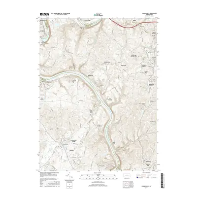 2016 Carmichaels2016 Print · USGSSouthwestern Pennsylvania’s river valley and coal heritage are visible here in the decade before the 2020s. Genealogists and researchers can trace lineage through Horner Cem, locate industrial sites like Keeny Row, and follow the Monongahela Railway.
 - 2019 Map of Masontown, 2019 Print
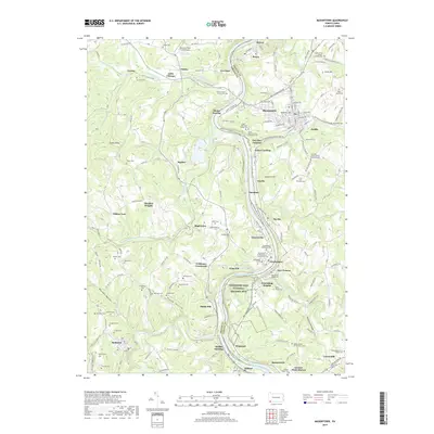 2019 Masontown2019 Print · USGSSouthwestern Pennsylvania's river-valley heritage is on full display here, as the Monongahela River divides the borough of Masontown from the riverfront hamlets of Greene County. Genealogists and historians can trace scores of family and church burial sites, including the Old Stone House Cem and the Saint Marys Roman Catholic Cem.
 - 2019 Map of Smithfield, 2019 Print
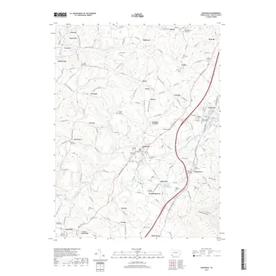 2019 Smithfield2019 Print · USGSFayette County's rural character and deep-rooted family settlements are captured here in the late twenty-tens. Genealogists can trace decades of local history through family-named landmarks like Jones Family Cem, the Swearingen's Fort Burial Site, and Ruble Mill.
 - 2019 Map of New Salem, 2019 Print
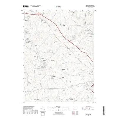 2019 New Salem2019 Print · USGSFayette County’s industrial and cultural landscape is captured here in the era of modern development and heritage preservation. Genealogists can trace family roots through numerous sites like Saint Thomas Roman Catholic Cem and Dunlap Creek Presbyterian Cem.
 - 2019 Map of Carmichaels, 2019 Print
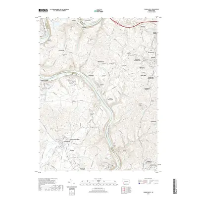 2019 Carmichaels2019 Print · USGSThe Monongahela River valley comes alive in this 2010s survey of the tri-county border area. Researchers can trace family history through dozens of landmarks like Greene Academy Cem, the Simpson Tunnel, and the historic streets of Carmichaels and Rices Landing.
 - 2023 Map of Carmichaels, 2023 Print
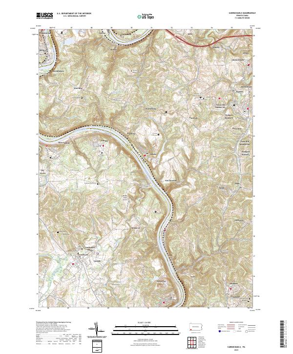 2023 Carmichaels2023 Print · USGSThe Monongahela River valley comes alive in this contemporary view of its historic coal towns and riverside landings. Genealogists and researchers can trace family lines through Greene Academy Cem or explore the layouts of Rices Landing and Crucible.
 - 2023 Map of Smithfield, 2023 Print
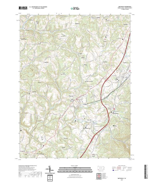 2023 Smithfield2023 Print · USGSSouthwestern Pennsylvania's rolling uplands are revealed in this detailed look at Fayette County's crossroads. Researchers can trace family lineage across dozens of burial grounds like the Mount Moriah Baptist Cem and Saint Joseph's Roman Catholic Cem.
 - 2023 Map of New Salem, 2023 Print
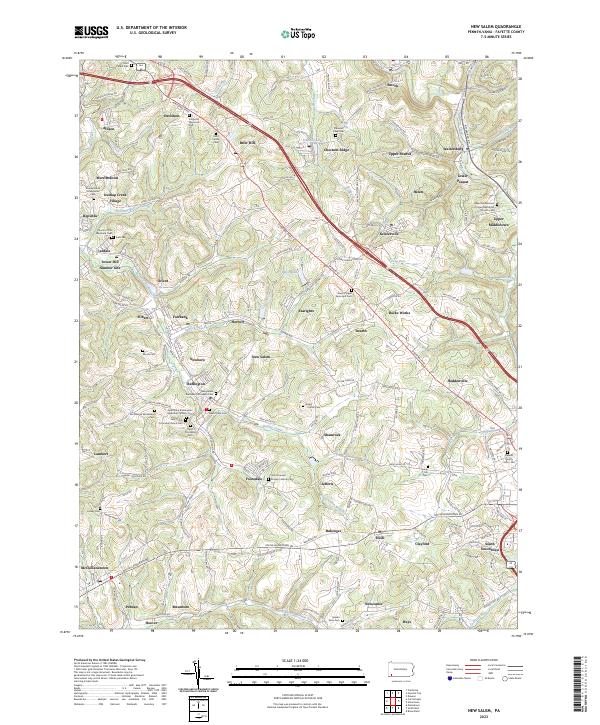 2023 New Salem2023 Print · USGSThe coal-country landscape near New Salem comes into focus in this recent survey. Genealogists can locate family burial sites at Saint Mary's Cem or Salem View Cem and trace the small residential clusters of Upper Peanut and Keisterville.
 - 2023 Map of Masontown, 2023 Print
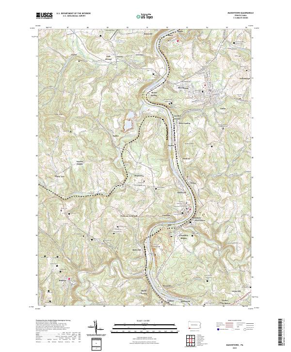 2023 Masontown2023 Print · USGSThe Monongahela River valley comes alive in this contemporary survey of the Fayette and Greene county border. Genealogists can trace family heritage through Sophia's Grave, Swearingen's Fort Burial Site, and the Friendship Hill National Historic Site.
End of results
Showing maps 1-20 of 20
Top cities near German Township
- Morgantown historical maps
- Uniontown historical maps
- California historical maps
- Luzerne Township historical maps
- Redstone historical maps
- Masontown historical maps
See more
Top neighborhoods of German Township
- Palmer historical maps
- Ralph historical maps
- Antram historical maps
- Edenborn historical maps
- Mount Sterling historical maps
- Ronco historical maps
See more
Frequently asked questions
- What are the different types of historical maps available for German Township?
- What is the oldest map of German Township?
- Where can I purchase historical maps of German Township for my home or office?
- Where can I download high-res historical maps of German Township?
- Are there historical topographic maps available for German Township?
- Is there historical aerial imagery available for German Township?
- Where are historical maps of German Township sourced from?