2020s Maps of Kingsley Township, Pennsylvania
Explore 6 historic maps of Kingsley Township from the 2020s. These maps offer a rare glimpse into what life looked like during the 2020s — showing old roads, neighborhoods, homes, and landmarks that have changed or disappeared over time.
Whether you're researching your family's past, planning a metal detecting trip, or studying how Kingsley Township's landscape evolved across the 2020s, these high-resolution maps are a powerful tool for exploring the history of this region.
- Focus on a specific era: All maps on this page are from the 2020s, giving you a focused view of this time period.
- See what’s changed: Compare century-old streets, trails, and buildings to today's modern landscape using overlays and satellite layers.
- Research with precision: Use these maps for genealogy, historical research, land use analysis, or educational projects.
- View, download, or print: Maps are fully viewable online in high resolution, and can be downloaded or printed for your own records.
Start exploring Kingsley Township's history through authentic maps from the 2020s. This is your window into the past.
Kingsley Township, PA maps
(6)- 2023 Map of West Hickory, 2023 Print
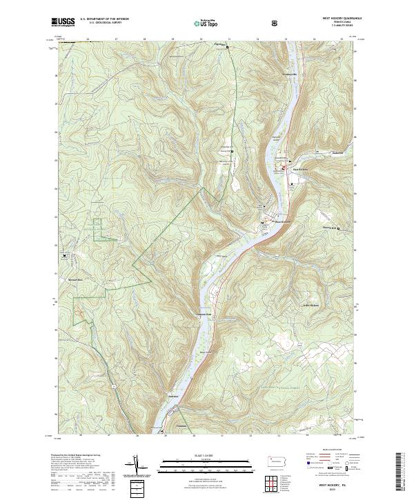 2023 West Hickory2023 Print · USGSThe Allegheny River corridor in Forest County is captured here in modern detail, from its protected wilderness islands to the valley hamlets. Researchers can trace family history at the Methodist Church East Hickory Cem or locate the site of Fagundus.
 - 2023 Map of Tylersburg, 2023 Print
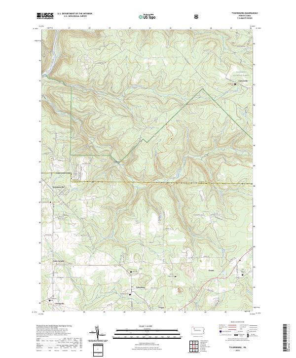 2023 Tylersburg2023 Print · USGSClarion County settlements and the southern edge of the woods define this region in the early twenty-first century. Researchers can trace family roots through numerous local burial sites like Tylersburg Cem and Lickingville Cem or explore old hamlets such as Golinza.
 - 2023 Map of Mayburg, 2023 Print
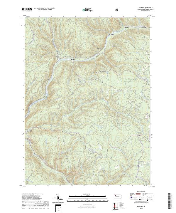 2023 Mayburg2023 Print · USGSForest County, Pennsylvania, is shown here as a dense landscape of timber and creeks within the Allegheny National Forest. You can trace the historic settlements along Tionesta Creek, including Mayburg, Truemans, and the evocative Dead Horse Hollow.
 - 2023 Map of Cherry Grove, 2023 Print
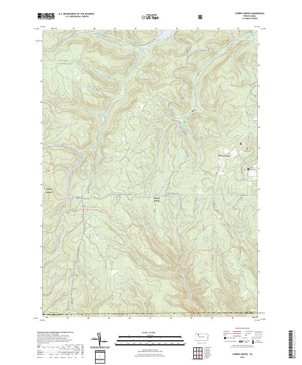 2023 Cherry Grove2023 Print · USGSThe high plateau of the Pennsylvania wilds appears here during the early twenty-first century, showing the intersection of managed forest and wilderness. Genealogists and hikers can locate the Sorenson Family Cem, the North Country National Scenic Trl, and the remote Hermit Spring.
 - 2023 Map of Kellettville, 2023 Print
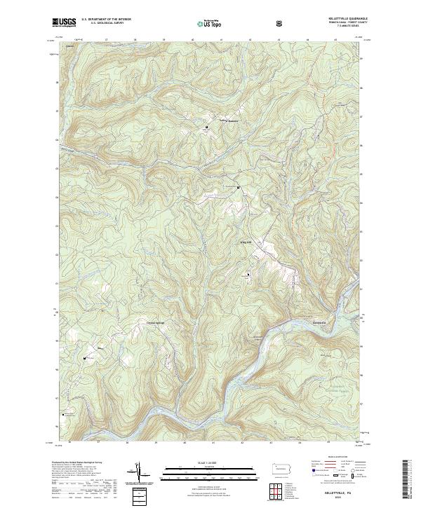 2023 Kellettville2023 Print · USGSForest County's timberlands and river valleys are shown in detail as they appeared in the early twenty-first century. Genealogists can locate family landmarks like Starr Cem, the settlement of Yellow Hammer, and Mount Zion Lutheran Cem.
 - 2023 Map of Marienville West, 2023 Print
 2023 Marienville West2023 Print · USGSThe wooded plateaus of Forest and Clarion Counties are captured here in the early twenty-first century, showing a landscape defined by forestry and small settlements. Researchers can locate family sites at Roses Cem, Gilfoyle Methodist Church, and the rural crossroads of Vowinckel.
End of results
Showing maps 1-6 of 6
Top cities near Kingsley Township
- Sheffield Township historical maps
- Tidioute historical maps
- Tionesta historical maps
- President Township historical maps
- Triumph Township historical maps
- Cherry Grove Township historical maps
See more
Top neighborhoods of Kingsley Township
- Starr historical maps
- Mayburg historical maps
- Whig Hill historical maps
- Crystal Springs historical maps
- Kellettville historical maps
- Muzette historical maps
Frequently asked questions
- What are the different types of historical maps available for Kingsley Township?
- What is the oldest map of Kingsley Township?
- Where can I purchase historical maps of Kingsley Township for my home or office?
- Where can I download high-res historical maps of Kingsley Township?
- Are there historical topographic maps available for Kingsley Township?
- Is there historical aerial imagery available for Kingsley Township?
- Where are historical maps of Kingsley Township sourced from?