2000s (21st Century) Maps of Fannett Township, Pennsylvania
Explore 30 historic maps of Fannett Township from the 2000s (21st Century). These maps offer a rare glimpse into what life looked like during the 2000s — showing old roads, neighborhoods, homes, and landmarks that have changed or disappeared over time.
Whether you're researching your family's past, planning a metal detecting trip, or studying how Fannett Township's landscape evolved across the 2000s, these high-resolution maps are a powerful tool for exploring the history of this region.
- Focus on a specific era: All maps on this page are from the 2000s, giving you a focused view of this time period.
- See what’s changed: Compare century-old streets, trails, and buildings to today's modern landscape using overlays and satellite layers.
- Research with precision: Use these maps for genealogy, historical research, land use analysis, or educational projects.
- View, download, or print: Maps are fully viewable online in high resolution, and can be downloaded or printed for your own records.
Start exploring Fannett Township's history through authentic maps from the 2000s. This is your window into the past.
Fannett Township, PA maps
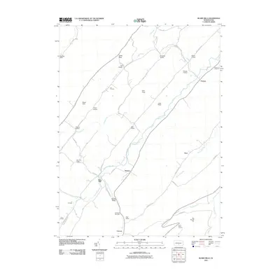
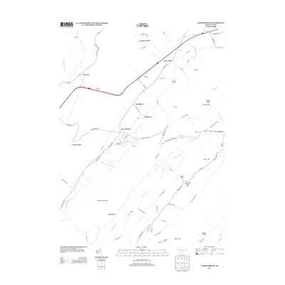
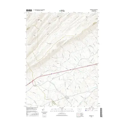
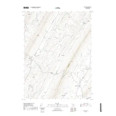
(30)- 2010 Map of Doylesburg, 2010 Print
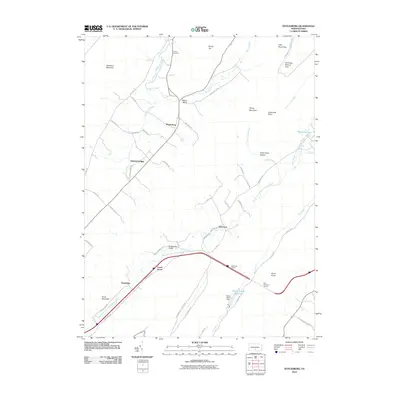 2010 Doylesburg2010 Print · USGSCovers Fannett Township, including Lurgan Township, Amberson Valley Estates, and other nearby areas
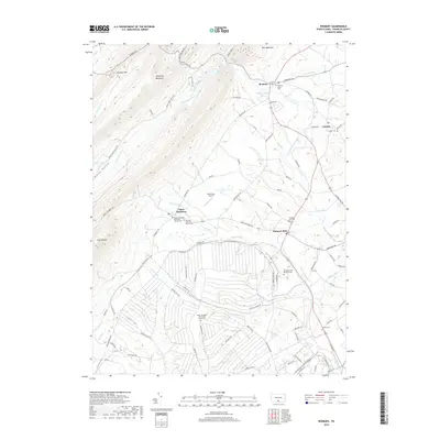
 - 2010 Map of Fannettsburg, 2010 Print
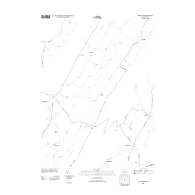
 2010 Fannettsburg2010 Print · USGSCovers Fannett Township, including Metal Township, Letterkenny Township, and other nearby areas
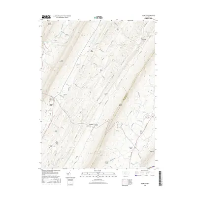
 - 2010 Map of Shade Gap, 2010 Print
 2010 Shade Gap2010 Print · USGSCovers Fannett Township, including Metal Township, Shade Gap, and other nearby areas
 - 2010 Map of Roxbury, 2010 Print
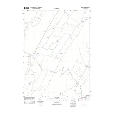
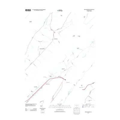
 2010 Roxbury2010 Print · USGSCovers Fannett Township, including Lurgan Township, Metal Township, and other nearby areas
 - 2010 Map of Blairs Mills, 2010 Print
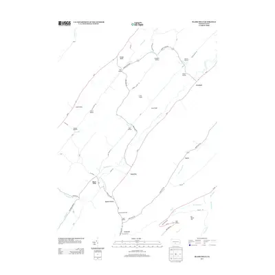
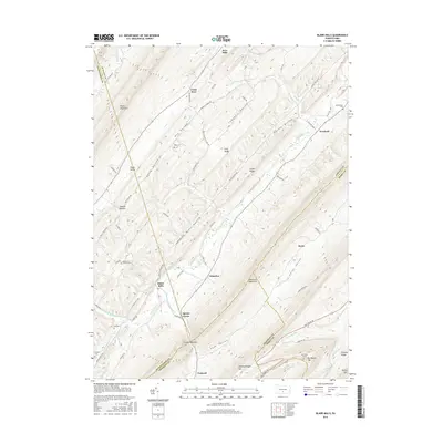
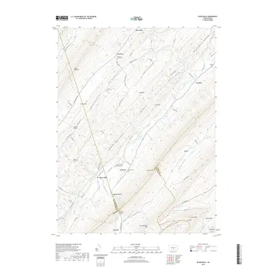
 2010 Blairs Mills2010 Print · USGSCovers Fannett Township, including Perulack, Blairs Mills, and other nearby areas
 - 2010 Map of Newburg, 2010 Print
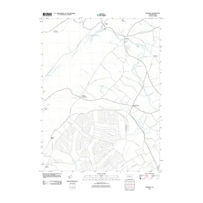
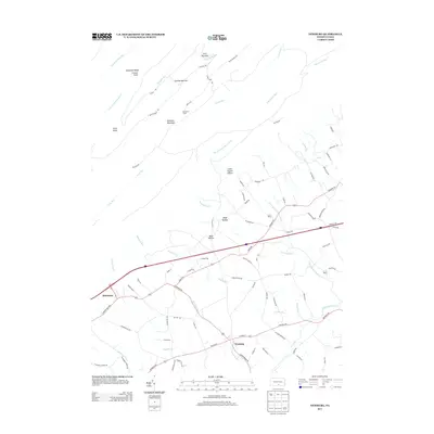
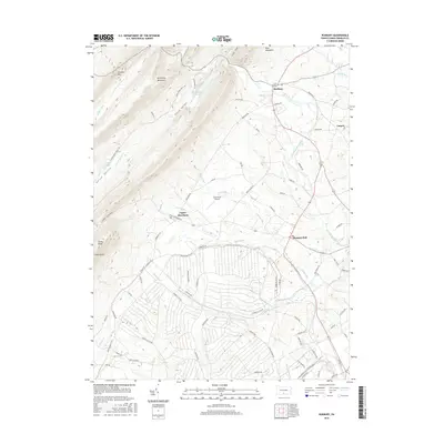
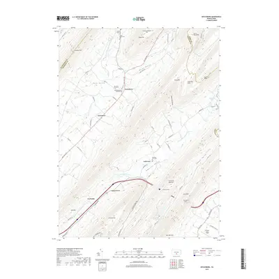
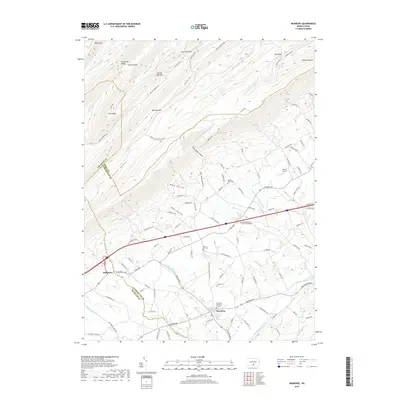
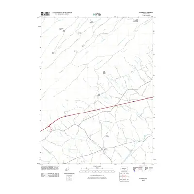 2010 Newburg2010 Print · USGSCovers Fannett Township, including Lurgan Township, Newburg, and other nearby areas
 - 2013 Map of Roxbury, 2013 Print
 2013 Roxbury2013 Print · USGSCovers Fannett Township, including Lurgan Township, Metal Township, and other nearby areas
 - 2013 Map of Shade Gap, 2013 Print
 2013 Shade Gap2013 Print · USGSCovers Fannett Township, including Metal Township, Shade Gap, and other nearby areas
 - 2013 Map of Fannettsburg, 2013 Print
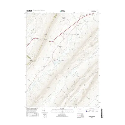
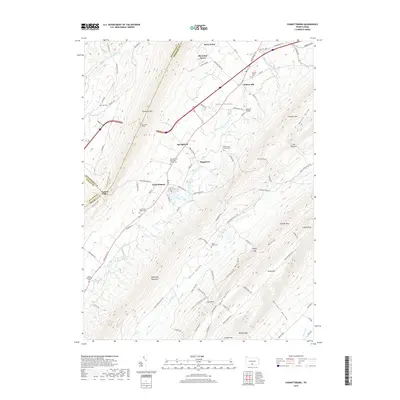
 2013 Fannettsburg2013 Print · USGSCovers Fannett Township, including Metal Township, Letterkenny Township, and other nearby areas
 - 2013 Map of Blairs Mills, 2013 Print
 2013 Blairs Mills2013 Print · USGSCovers Fannett Township, including Perulack, Blairs Mills, and other nearby areas
 - 2013 Map of Newburg, 2013 Print
 2013 Newburg2013 Print · USGSCovers Fannett Township, including Lurgan Township, Newburg, and other nearby areas
 - 2013 Map of Doylesburg, 2013 Print
 2013 Doylesburg2013 Print · USGSCovers Fannett Township, including Lurgan Township, Amberson Valley Estates, and other nearby areas
 - 2016 Map of Newburg, 2016 Print
 2016 Newburg2016 Print · USGSCovers Fannett Township, including Lurgan Township, Newburg, and other nearby areas
 - 2016 Map of Doylesburg, 2016 Print
 2016 Doylesburg2016 Print · USGSCovers Fannett Township, including Lurgan Township, Amberson Valley Estates, and other nearby areas
 - 2016 Map of Roxbury, 2016 Print
 2016 Roxbury2016 Print · USGSCovers Fannett Township, including Lurgan Township, Metal Township, and other nearby areas
 - 2016 Map of Fannettsburg, 2016 Print
 2016 Fannettsburg2016 Print · USGSCovers Fannett Township, including Metal Township, Letterkenny Township, and other nearby areas
 - 2016 Map of Shade Gap, 2016 Print
 2016 Shade Gap2016 Print · USGSCovers Fannett Township, including Metal Township, Shade Gap, and other nearby areas
 - 2016 Map of Blairs Mills, 2016 Print
 2016 Blairs Mills2016 Print · USGSCovers Fannett Township, including Perulack, Blairs Mills, and other nearby areas
 - 2019 Map of Doylesburg, 2019 Print
 2019 Doylesburg2019 Print · USGSCovers Fannett Township, including Lurgan Township, Amberson Valley Estates, and other nearby areas
 - 2019 Map of Roxbury, 2019 Print
 2019 Roxbury2019 Print · USGSCovers Fannett Township, including Lurgan Township, Metal Township, and other nearby areas
 - 2019 Map of Blairs Mills, 2019 Print
 2019 Blairs Mills2019 Print · USGSCovers Fannett Township, including Perulack, Blairs Mills, and other nearby areas
 - 2019 Map of Newburg, 2019 Print
 2019 Newburg2019 Print · USGSCovers Fannett Township, including Lurgan Township, Newburg, and other nearby areas
 - 2019 Map of Shade Gap, 2019 Print
 2019 Shade Gap2019 Print · USGSCovers Fannett Township, including Metal Township, Shade Gap, and other nearby areas
 - 2019 Map of Fannettsburg, 2019 Print
 2019 Fannettsburg2019 Print · USGSCovers Fannett Township, including Metal Township, Letterkenny Township, and other nearby areas
 - 2023 Map of Doylesburg, 2023 Print
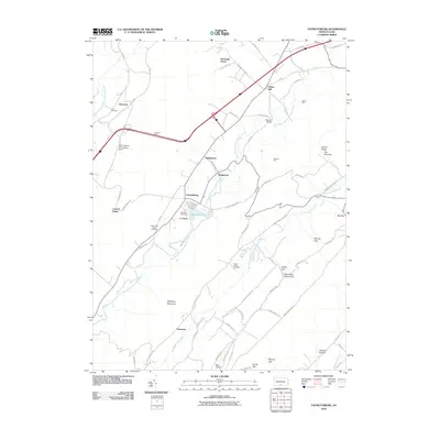
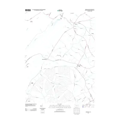
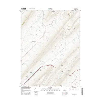
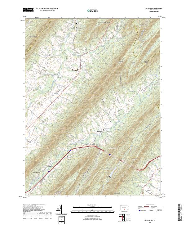 2023 Doylesburg2023 Print · USGSThe mountain gaps of northern Franklin County are surveyed here in recent detail, showing the rural communities of Path Valley and Amberson Valley. Local historians can trace family roots at the Concord Union Cem or locate the quiet grounds of Laurel Grove and Newbridge.
Showing maps 1-25 of 30
Top cities near Fannett Township
- Shippensburg historical maps
- Mount Union historical maps
- Lurgan Township historical maps
- Metal Township historical maps
- Orbisonia historical maps
- Rockhill historical maps
See more
Top neighborhoods of Fannett Township
- Amberson historical maps
- Amberson Valley Estates historical maps
- Doylesburg historical maps
- Doylestown historical maps
- Laurel Grove historical maps
- Newbridge historical maps
See more
Frequently asked questions
- What are the different types of historical maps available for Fannett Township?
- What is the oldest map of Fannett Township?
- Where can I purchase historical maps of Fannett Township for my home or office?
- Where can I download high-res historical maps of Fannett Township?
- Are there historical topographic maps available for Fannett Township?
- Is there historical aerial imagery available for Fannett Township?
- Where are historical maps of Fannett Township sourced from?