Old Maps of Valley-Hi, Pennsylvania for Academic Research
Study the evolution of Valley-Hi with 14 high-resolution historic maps. Whether you're teaching, researching, or modeling changes in land use, these maps provide essential visual documentation of urban, environmental, and geographic change.
- Analyze long-term change: Track patterns in development, transportation, and natural features.
- Ideal for environmental or urban studies: Support academic projects with primary historical map data.
- Use in the classroom or lab: Educators and researchers rely on these maps to bring historical context to life.
These maps are a powerful tool for teaching, research, and visualizing how Valley-Hi has changed over the decades.
Valley-Hi, PA maps
(14)- 1930 Map of Broad Top, 1958 Print
 1930 Broad Top1958 Print · USGSThe Broad Top coalfields of the 1930s come alive through this survey of the region's mining towns and mountain ridges. Genealogists can trace family footprints at Bills Place, Miller Sch, and the Garlick Mine along the Huntingdon and Broad Top Mountain RR.2 unique versions available
 - 1933 Map of Broad Top
 1933 Broad Top1933 Print · USGSBroad Top Mountain and its surrounding coalfields were at a peak of rail-driven activity in the early thirties. Local historians can trace the precise routes of the Huntingdon and Broad Top Mountain RR and locate community landmarks like Wells Tannery and Eagle Foundry Ch.3 unique versions available
 - 1953 Map of Pittsburgh
 1953 Pittsburgh1953 Print · USGSWestern Pennsylvania's industrial landscape at the start of the fifties shows the steel and rail corridors between Pittsburgh and Altoona. Trace family roots in river towns like Tarentum or follow the Pennsylvania Turnpike across Laurel Hill.
 - 1954 Map of Pittsburgh
 1954 Pittsburgh1954 Print · USGSWestern Pennsylvania in the early fifties remains a powerhouse of heavy industry and vital transit corridors. Genealogists and historians can trace the rail-and-river network connecting Pittsburgh, Johnstown, and Altoona via the Pennsylvania RR and the Lincoln Highway.2 unique versions available
 - 1958 Map of Pittsburgh
 1958 Pittsburgh1958 Print · USGSWestern Pennsylvania in the late fifties shows an industrial heartland defined by the confluence of the Allegheny River and Monongahela River. Researchers can trace the sprawling rail networks of the Pennsylvania RR and find established towns like Butler, Latrobe, and Windber.5 unique versions available
 - 1959 Map of Pittsburgh
 1959 Pittsburgh1959 Print · USGSWestern Pennsylvania in the late fifties is captured here at the height of its industrial era. Genealogists and historians can trace the riverfront growth of Pittsburgh, the rail works at Altoona, and the mountain gaps of Laurel Hill.
 - 1964 Map of Pittsburgh
 1964 Pittsburgh1964 Print · USGSWestern Pennsylvania in the late fifties and early sixties shows a landscape of powerful river industries and expanding highways. Genealogists and historians can trace the rail corridors of the Pennsylvania RR through industrial hubs like Johnstown, Altoona, and Nanty Glo.
 - 1968 Map of Wells Tannery, 1970 Print
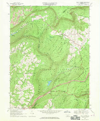 1968 Wells Tannery1970 Print · USGSFulton and Bedford Counties meet in this ridge-and-valley landscape during the late sixties as the turnpike modernized local travel. Researchers can locate family landmarks like Shortys Place, Old Mtn House, and the Graceville Cem.4 unique versions available
 - 1981 Map of Johnstown, 1983 Print
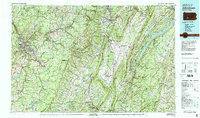 1981 Johnstown1983 Print · USGSSouth Central Pennsylvania is captured here in the early eighties, from the industrial heart of the Conemaugh Valley to the ridges of the Allegheny Front. Local historians can trace the rail corridors of Conrail and the growth of mountain communities like Ebensburg, Nanty Glo, and Windber.
 - 2010 Map of Wells Tannery, 2010 Print
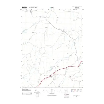 2010 Wells Tannery2010 Print · USGSFulton County and the surrounding highlands are depicted here in the early 21st century as a landscape shaped by transportation and geography. Researchers can find old landmarks like the Old Mountain House and trace regional transit through the Rays Hill Tunnel and Sideling Hill Tunnel.
 - 2013 Map of Wells Tannery, 2013 Print
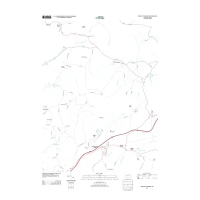 2013 Wells Tannery2013 Print · USGSFulton County settlements and mountain passes are captured here in the early twenty-first century. Researchers can locate family landmarks like Old Mountain House and Budds Place or trace the geography around Wells Tannery.
 - 2016 Map of Wells Tannery, 2016 Print
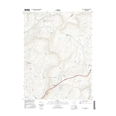 2016 Wells Tannery2016 Print · USGSThe ridge-and-valley country of the Bedford and Fulton county line is shown here in the mid-2010s. Researchers can locate several family burial grounds and historical transit markers, including the Shermans Valley Church Graveyard and the Abandoned PA Tpke near Wells Tannery.
 - 2019 Map of Wells Tannery, 2019 Print
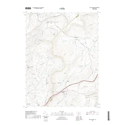 2019 Wells Tannery2019 Print · USGSThe high ridges of Bedford and Fulton County are shown here in modern detail, capturing the corridor between Breezewood and the Sideling Hill Tunnel. Local historians can trace family roots through numerous sites like Shermans Valley Church Graveyard and Graceville Lutheran Church Cem.
 - 2023 Map of Wells Tannery, 2023 Print
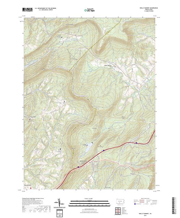 2023 Wells Tannery2023 Print · USGSDeep in the mountains of south-central Pennsylvania, this survey captures the rural character of the Bedford-Fulton border. Genealogists can trace family names at Hinish Cem and Graceville Lutheran Church Cem near the Old Mountain House.
End of results
Showing maps 1-14 of 14
Frequently asked questions
- What are the different types of historical maps available for Valley-Hi?
- What is the oldest map of Valley-Hi?
- Where can I purchase historical maps of Valley-Hi for my home or office?
- Where can I download high-res historical maps of Valley-Hi?
- Are there historical topographic maps available for Valley-Hi?
- Is there historical aerial imagery available for Valley-Hi?
- Where are historical maps of Valley-Hi sourced from?