Old Maps of Holbrook, Pennsylvania for Metal Detecting
Plan your next treasure hunt with 12 historic maps of Holbrook. Find old homesites, ghost towns, trails, and gathering spots that may be lost to time — perfect for identifying promising metal detecting locations.
- Locate forgotten sites: Uncover places like long-lost settlements, abandoned rail lines, or gathering spots.
- Plan better hunts: Use map overlays combined with LiDAR or satellite views to narrow in on historically rich areas.
- Made for detectorists: Thousands of hobbyists use these maps to discover relics, coins, and hidden history.
Use these historic maps to boost your research and find new opportunities beneath the surface of Holbrook.
Holbrook, PA maps
(12)- 1905 Map of Rogersville
 1905 Rogersville1905 Print · USGSGreene and Washington counties are documented here at the turn of the century as a maze of ridge-and-valley settlements. Genealogists can trace early homesteads and commerce hubs like Harveys P.O. Graysville, Simpson Store, and Ryerson Station.4 unique versions available
 - 1949 Map of Clarksburg
 1949 Clarksburg1949 Print · USGSThe upper Ohio River valley and the industrial heart of West Virginia come into focus during this post-war period. Genealogists and researchers can trace the rail corridors of the Baltimore and Ohio and locate centers like Fairmont, Grafton, and Waynesburg.
 - 1956 Map of Clarksburg, 1966 Print
 1956 Clarksburg1966 Print · USGSThe Ohio River valley and the industrial heart of West Virginia are seen here in the mid-1950s as rail and river commerce thrived. Researchers can trace historic transport lines like the Baltimore and Ohio RR and locate ancestral homes in Clarksburg, Moundsville, or Parkersburg.2 unique versions available
 - 1961 Map of Clarksburg
 1961 Clarksburg1961 Print · USGSThe mid-century industrial and river landscapes of West Virginia and Ohio are detailed here, centered on the Ohio River. Researchers can trace the Baltimore and Ohio rail lines connecting towns like Parkersburg, Clarksburg, and Monongah.
 - 1964 Map of Holbrook, 1965 Print
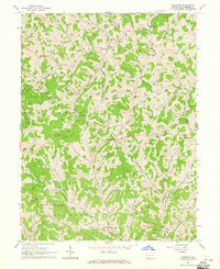 1964 Holbrook1965 Print · USGSGreene County's ridge-and-valley landscape is shown in the mid-1960s as gas extraction and rural farming shaped the local economy. Researchers can trace family roots at Higgins Cem, Pine Bank, and small country parishes like Bethany Ch.2 unique versions available
 - 1984 Map of Moundsville
 1984 Moundsville1984 Print · USGSThe Ohio River valley and the Appalachian interior meet in the mid-eighties as a hub of rail and river commerce. Genealogists and historians can trace the development of river towns like New Martinsville, inland hubs like Waynesburg, and the path of the B & O RR.
 - 1988 Map of Clarksburg, 1989 Print
 1988 Clarksburg1989 Print · USGSThe central Appalachians are documented in detail during the late eighties, showing the industrial and river-based economies of West Virginia, Ohio, and Pennsylvania. Researchers can trace historic rail routes like the B & O RR and locate river towns from St Marys to Parkersburg.
 - 2010 Map of Holbrook, 2010 Print
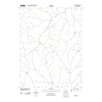 2010 Holbrook2010 Print · USGSGreene County’s rural valleys and hollows are captured here during the first decade of the 21st century. Genealogists can trace family burial sites at Higgins Cemetery or Phillips New Cemetery and locate small communities like Triumph and Buzz.
 - 2013 Map of Holbrook, 2013 Print
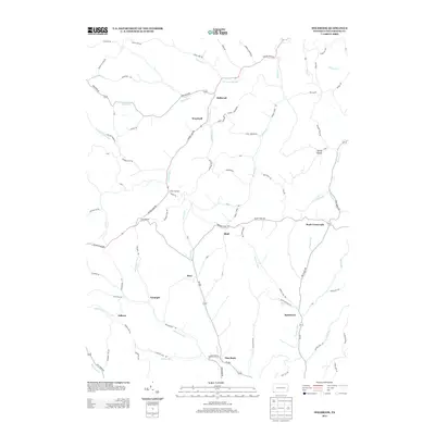 2013 Holbrook2013 Print · USGSGreene County’s rural highlands appear in great detail during the early twenty-first century, showing the traditional crossroads and hamlets of Jackson Township. Researchers can trace family sites near Kuhntown, White Cottage, and the historic path of Warriors Trail Rd.
 - 2016 Map of Holbrook, 2016 Print
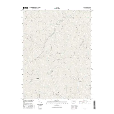 2016 Holbrook2016 Print · USGSGreene County’s rural valleys and ridges are captured here in the mid-2010s, showing a landscape defined by winding creek beds and family-named landmarks. Researchers can trace local lineage through sites like Phillips New Cem, Pine Bank, and the crossroads at Kuhntown.
 - 2019 Map of Holbrook, 2019 Print
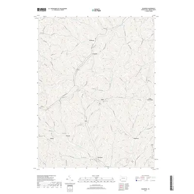 2019 Holbrook2019 Print · USGSGreene County ridge-and-valley country is shown here in the late twenty-first century, centered on the historic Warrior Trail. Genealogists and local historians can trace family locations through numerous sites like Macedonia Cem, Valley Chapel Cem, and Kuhntown.
 - 2023 Map of Holbrook, 2023 Print
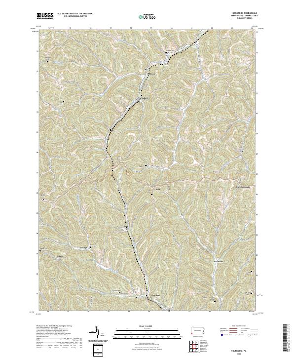 2023 Holbrook2023 Print · USGSGreene County’s upland terrain is meticulously detailed here in the modern era, showing the enduring rural character of Pennsylvania's southwest corner. Genealogists can locate numerous burial sites such as Valley Chapel Cem and Fordyce Cem, while tracing historic routes like the Warrior Trl.
End of results
Showing maps 1-12 of 12
Top cities near Holbrook
- Waynesburg historical maps
- East Finley Township historical maps
- West Finley Township historical maps
- Marianna historical maps
- Aleppo Township historical maps
- Hundred historical maps
See more
Frequently asked questions
- What are the different types of historical maps available for Holbrook?
- What is the oldest map of Holbrook?
- Where can I purchase historical maps of Holbrook for my home or office?
- Where can I download high-res historical maps of Holbrook?
- Are there historical topographic maps available for Holbrook?
- Is there historical aerial imagery available for Holbrook?
- Where are historical maps of Holbrook sourced from?