Old Maps of Garards Fort, Pennsylvania for Academic Research
Study the evolution of Garards Fort with 13 high-resolution historic maps. Whether you're teaching, researching, or modeling changes in land use, these maps provide essential visual documentation of urban, environmental, and geographic change.
- Analyze long-term change: Track patterns in development, transportation, and natural features.
- Ideal for environmental or urban studies: Support academic projects with primary historical map data.
- Use in the classroom or lab: Educators and researchers rely on these maps to bring historical context to life.
These maps are a powerful tool for teaching, research, and visualizing how Garards Fort has changed over the decades.
Garards Fort, PA maps
(13)- 1901 Map of Waynesburg, 1958 Print
 1901 Waynesburg1958 Print · USGSGreene County at the start of the twentieth century shows a landscape of deep valleys and rising townships connected by the South Fork of Tenmile Creek. Genealogists can trace family names through landmarks like Rees Mill, Gump, and the dual settlement of Kirby Newtown.
 - 1904 Map of Waynesburg
 1904 Waynesburg1904 Print · USGSGreene County was a landscape of deeply carved creek valleys and rural crossroads at the start of the twentieth century. Genealogists and local historians can trace early property settings near Waynesburg, Rees Mill, and the riverside borough of Rices Landing.5 unique versions available
 - 1949 Map of Clarksburg
 1949 Clarksburg1949 Print · USGSThe upper Ohio River valley and the industrial heart of West Virginia come into focus during this post-war period. Genealogists and researchers can trace the rail corridors of the Baltimore and Ohio and locate centers like Fairmont, Grafton, and Waynesburg.
 - 1956 Map of Clarksburg, 1966 Print
 1956 Clarksburg1966 Print · USGSThe Ohio River valley and the industrial heart of West Virginia are seen here in the mid-1950s as rail and river commerce thrived. Researchers can trace historic transport lines like the Baltimore and Ohio RR and locate ancestral homes in Clarksburg, Moundsville, or Parkersburg.2 unique versions available
 - 1961 Map of Clarksburg
 1961 Clarksburg1961 Print · USGSThe mid-century industrial and river landscapes of West Virginia and Ohio are detailed here, centered on the Ohio River. Researchers can trace the Baltimore and Ohio rail lines connecting towns like Parkersburg, Clarksburg, and Monongah.
 - 1961 Map of Garards Fort, 1963 Print
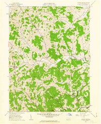 1961 Garards Fort1963 Print · USGSGreene County in the early sixties remains a patchwork of family cemeteries and coal shafts. Genealogists can trace ancestral sites like Morris Cem or the Asbury Ch, while others can find the exact locations of the Garards Fort Shaft and old Covered Bridge.4 unique versions available
 - 1984 Map of Moundsville
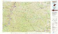 1984 Moundsville1984 Print · USGSThe Ohio River valley and the Appalachian interior meet in the mid-eighties as a hub of rail and river commerce. Genealogists and historians can trace the development of river towns like New Martinsville, inland hubs like Waynesburg, and the path of the B & O RR.
 - 1988 Map of Clarksburg, 1989 Print
 1988 Clarksburg1989 Print · USGSThe central Appalachians are documented in detail during the late eighties, showing the industrial and river-based economies of West Virginia, Ohio, and Pennsylvania. Researchers can trace historic rail routes like the B & O RR and locate river towns from St Marys to Parkersburg.
 - 2010 Map of Garards Fort, 2010 Print
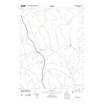 2010 Garards Fort2010 Print · USGSDunkard Township and the surrounding Greene County hills are shown here in the early twenty-first century, balancing deep coal mining roots with rural valley life. Genealogists and historians can locate numerous burial sites like Steele Cemetery and trace industrial landmarks such as the Garards Fort Shaft.
 - 2013 Map of Garards Fort, 2013 Print
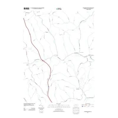 2013 Garards Fort2013 Print · USGSDunkard Township and Greene County are mapped here in the early 2010s, showing a landscape shaped by coal mining and winding creeks. Genealogists and historians can trace local shafts like Garards Fort Shaft and Kirby Shaft or locate the Bald Hill Church.
 - 2016 Map of Garards Fort, 2016 Print
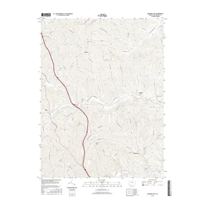 2016 Garards Fort2016 Print · USGSGreene County’s rural uplands are shown in high detail during the mid-2010s, revealing the enduring layout of historic townships and stream-side hamlets. Family researchers can pinpoint long-established burial sites such as Cowell Cem and Johnson Cem or trace the winding course of Whiteley Creek.
 - 2019 Map of Garards Fort, 2019 Print
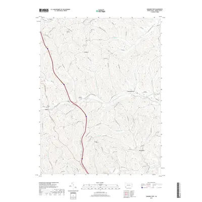 2019 Garards Fort2019 Print · USGSGreene County hills and hollows are documented here in detail during the late twenty-tens. Genealogists can trace family roots through numerous burial grounds including Hickman Family Cem, Whiteley Chapel Cem, and Old Ironsides Cem.
 - 2023 Map of Garards Fort, 2023 Print
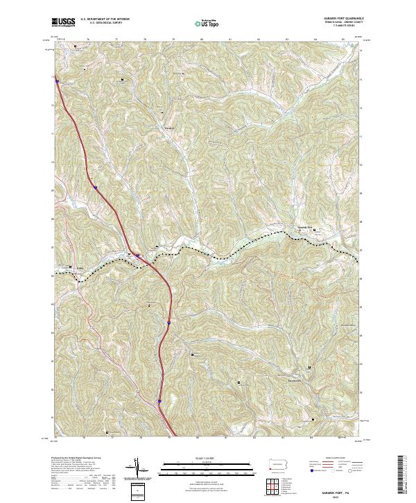 2023 Garards Fort2023 Print · USGSGreene County is shown here in the early twenty-first century, preserving a landscape of family-run farms and small hamlets. Genealogists can trace ancestral sites at Garards Fort Cem, the Hickman Family Cem, and the historic Warrior Trl.
End of results
Showing maps 1-13 of 13
Top cities near Garards Fort
- Morgantown historical maps
- Luzerne Township historical maps
- Waynesburg historical maps
- Westover historical maps
- Masontown historical maps
- Springhill Township historical maps
See more
Frequently asked questions
- What are the different types of historical maps available for Garards Fort?
- What is the oldest map of Garards Fort?
- Where can I purchase historical maps of Garards Fort for my home or office?
- Where can I download high-res historical maps of Garards Fort?
- Are there historical topographic maps available for Garards Fort?
- Is there historical aerial imagery available for Garards Fort?
- Where are historical maps of Garards Fort sourced from?