2000s (21st Century) Maps of Morris Township, Pennsylvania
Explore 21 historic maps of Morris Township from the 2000s (21st Century). These maps offer a rare glimpse into what life looked like during the 2000s — showing old roads, neighborhoods, homes, and landmarks that have changed or disappeared over time.
Whether you're researching your family's past, planning a metal detecting trip, or studying how Morris Township's landscape evolved across the 2000s, these high-resolution maps are a powerful tool for exploring the history of this region.
- Focus on a specific era: All maps on this page are from the 2000s, giving you a focused view of this time period.
- See what’s changed: Compare century-old streets, trails, and buildings to today's modern landscape using overlays and satellite layers.
- Research with precision: Use these maps for genealogy, historical research, land use analysis, or educational projects.
- View, download, or print: Maps are fully viewable online in high resolution, and can be downloaded or printed for your own records.
Start exploring Morris Township's history through authentic maps from the 2000s. This is your window into the past.
Morris Township, PA maps
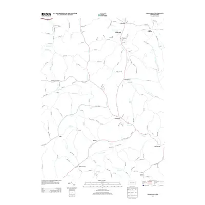
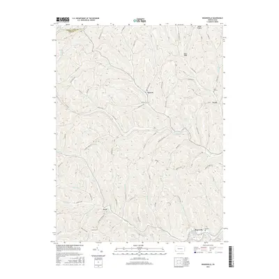
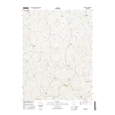
(21)- 2010 Map of Prosperity, 2010 Print
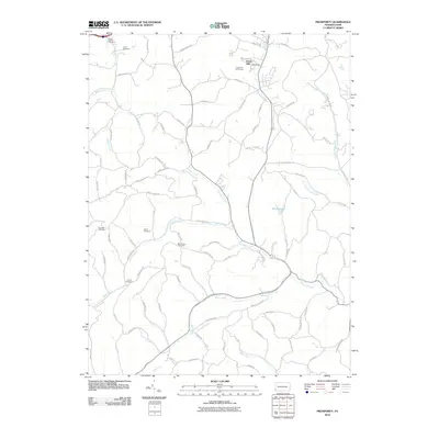 2010 Prosperity2010 Print · USGSCovers Morris Township, including East Finley Township, Green Hills, and other nearby areas
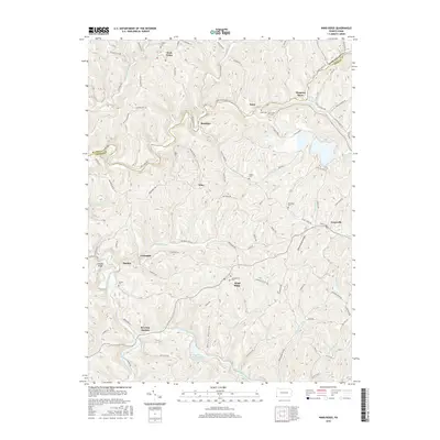
 - 2010 Map of Wind Ridge, 2010 Print
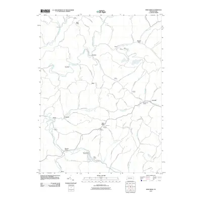 2010 Wind Ridge2010 Print · USGSCovers Morris Township, including East Finley Township, West Finley Township, and other nearby areas
 - 2010 Map of Rogersville, 2010 Print
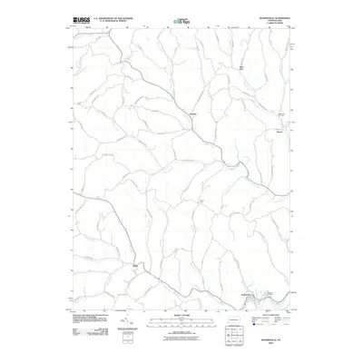 2010 Rogersville2010 Print · USGSCovers Morris Township, including East Finley Township, Richhill Township, and other nearby areas
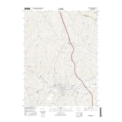
 - 2010 Map of Waynesburg, 2010 Print
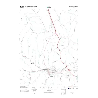
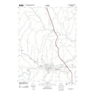 2010 Waynesburg2010 Print · USGSCovers Morris Township, including Waynesburg, Morgan Township, and other nearby areas
 - 2013 Map of Prosperity, 2013 Print
 2013 Prosperity2013 Print · USGSCovers Morris Township, including East Finley Township, Green Hills, and other nearby areas
 - 2013 Map of Rogersville, 2013 Print
 2013 Rogersville2013 Print · USGSCovers Morris Township, including East Finley Township, Richhill Township, and other nearby areas
 - 2013 Map of Waynesburg, 2013 Print
 2013 Waynesburg2013 Print · USGSCovers Morris Township, including Waynesburg, Morgan Township, and other nearby areas
 - 2013 Map of Wind Ridge, 2013 Print
 2013 Wind Ridge2013 Print · USGSCovers Morris Township, including East Finley Township, West Finley Township, and other nearby areas
 - 2016 Map of Rogersville, 2016 Print
 2016 Rogersville2016 Print · USGSCovers Morris Township, including East Finley Township, Richhill Township, and other nearby areas
 - 2016 Map of Wind Ridge, 2016 Print
 2016 Wind Ridge2016 Print · USGSCovers Morris Township, including East Finley Township, West Finley Township, and other nearby areas
 - 2016 Map of Waynesburg, 2016 Print
 2016 Waynesburg2016 Print · USGSCovers Morris Township, including Waynesburg, Morgan Township, and other nearby areas
 - 2016 Map of Prosperity, 2016 Print
 2016 Prosperity2016 Print · USGSCovers Morris Township, including East Finley Township, Green Hills, and other nearby areas
 - 2019 Map of Wind Ridge, 2019 Print
 2019 Wind Ridge2019 Print · USGSCovers Morris Township, including East Finley Township, West Finley Township, and other nearby areas
 - 2019 Map of Waynesburg, 2019 Print
 2019 Waynesburg2019 Print · USGSCovers Morris Township, including Waynesburg, Morgan Township, and other nearby areas
 - 2019 Map of Rogersville, 2019 Print
 2019 Rogersville2019 Print · USGSCovers Morris Township, including East Finley Township, Richhill Township, and other nearby areas
 - 2019 Map of Prosperity, 2019 Print
 2019 Prosperity2019 Print · USGSCovers Morris Township, including East Finley Township, Green Hills, and other nearby areas
 - 2023 Map of Rogersville, 2023 Print
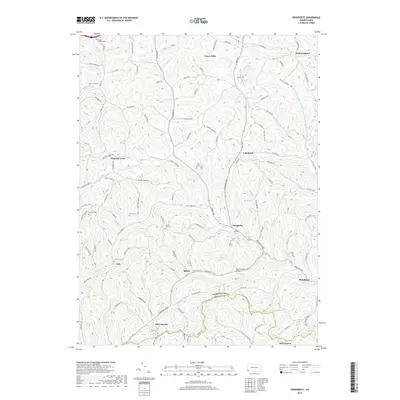
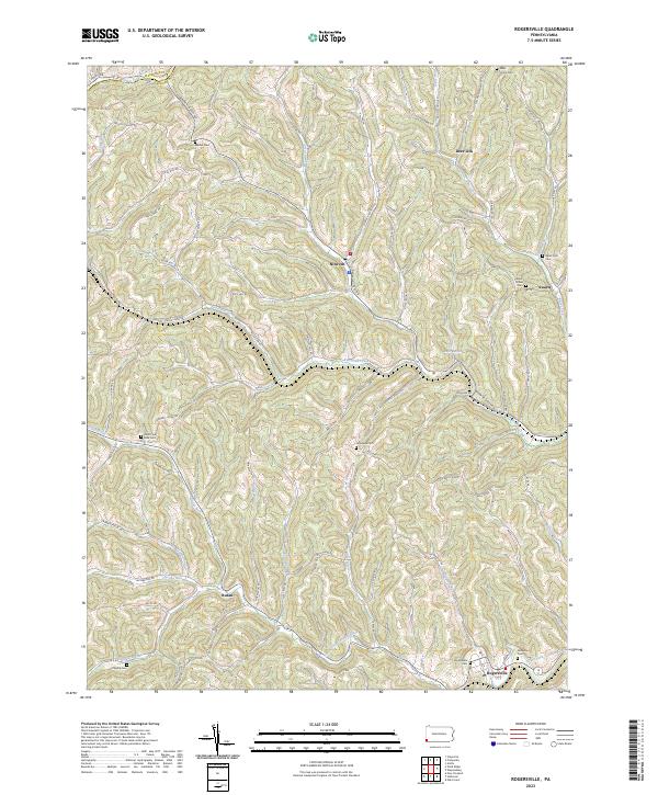 2023 Rogersville2023 Print · USGSModern Greene County remains deeply connected to its roots in this contemporary survey. Genealogists can trace family names through numerous burial sites like Rogersville Cem or locate old community hubs such as Swarts and Deer Lick.
 - 2023 Map of Wind Ridge, 2023 Print
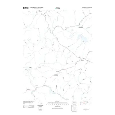
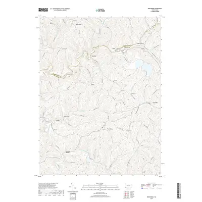
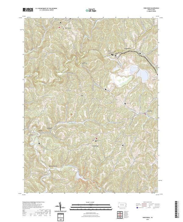 2023 Wind Ridge2023 Print · USGSThe Greene and Washington County borderlands are captured here in the early twenty-first century, showing a rural landscape shaped by coal and agriculture. Genealogists can locate family landmarks like Simpson Store, Zollars Cem, and the Bailey Mine.
 - 2023 Map of Prosperity, 2023 Print
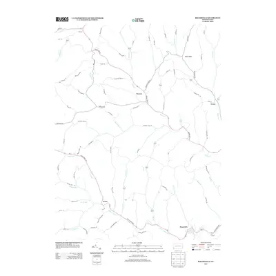
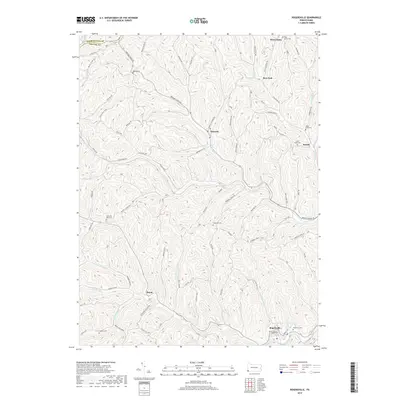
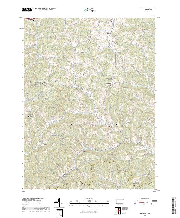 2023 Prosperity2023 Print · USGSWashington County's rural heritage is well-preserved in this study of the hills near Prosperity and Old Concord. Genealogists can trace family lineages through numerous local sites including Old Quaker Cem, Pleasant Grove Baptist Church, and Mount Zion Cem.
 - 2023 Map of Amity, 2023 Print
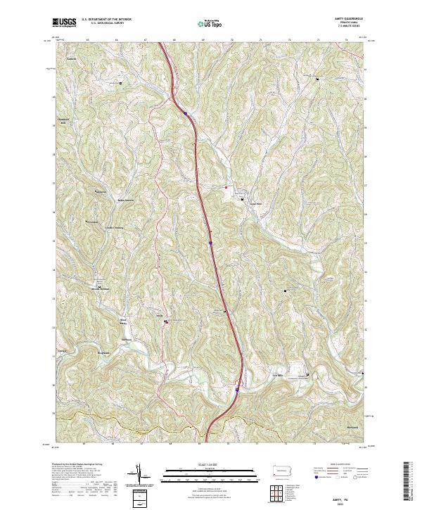 2023 Amity2023 Print · USGSThe rural uplands of Washington County are captured in this recent survey, showing the enduring pattern of valley settlements and ridge-top roads. Family historians can locate several burial grounds like Vankirk Cem or trace the early paths around Chambers Mill and Ten Mile.
 - 2023 Map of Waynesburg, 2023 Print
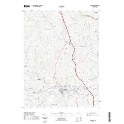
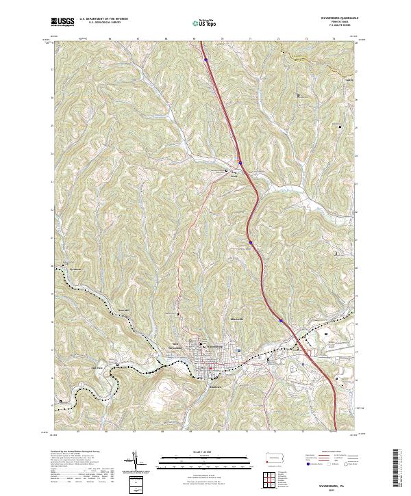 2023 Waynesburg2023 Print · USGSWaynesburg and its satellite settlements are documented in this contemporary study of the Greene County seat and its upland valleys. Researchers can trace local genealogy at Saint Ann Cem or explore institutional landmarks like Waynesburg University and the Greene County Courthouse.
End of results
Showing maps 1-21 of 21
Top cities near Morris Township
- Washington historical maps
- South Strabane Township historical maps
- Waynesburg historical maps
- Mount Pleasant historical maps
- East Washington historical maps
- Independence Township historical maps
See more
Top neighborhoods of Morris Township
Frequently asked questions
- What are the different types of historical maps available for Morris Township?
- What is the oldest map of Morris Township?
- Where can I purchase historical maps of Morris Township for my home or office?
- Where can I download high-res historical maps of Morris Township?
- Are there historical topographic maps available for Morris Township?
- Is there historical aerial imagery available for Morris Township?
- Where are historical maps of Morris Township sourced from?