Old Maps of Fairchance, Perry Township for Metal Detecting
Plan your next treasure hunt with 16 historic maps of Fairchance. Find old homesites, ghost towns, trails, and gathering spots that may be lost to time — perfect for identifying promising metal detecting locations.
- Locate forgotten sites: Uncover places like long-lost settlements, abandoned rail lines, or gathering spots.
- Plan better hunts: Use map overlays combined with LiDAR or satellite views to narrow in on historically rich areas.
- Made for detectorists: Thousands of hobbyists use these maps to discover relics, coins, and hidden history.
Use these historic maps to boost your research and find new opportunities beneath the surface of Fairchance.
Fairchance, Perry Township maps
(16)- 1904 Map of Blacksville
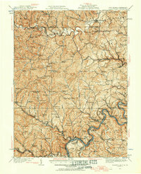
 1904 Blacksville1904 Print · USGSThe West Virginia and Pennsylvania border comes alive in this survey from the early twentieth century. Researchers can trace the river economy along the Monongahela at Lock No. 13 or locate rural homesteads near Fairview Amos P.O. and Blacksville.3 unique versions available
 - 1923 Map of Blacksville, 1956 Print
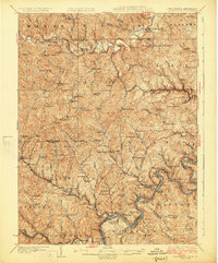
 1923 Blacksville1956 Print · USGSMonongalia and Marion counties appear here during the early twentieth century as the coal and rail economy began to reshape the rural landscape. Researchers can find numerous family landmarks, from Town School and Olive Church to the industrial works at Montana Mines.
 - 1925 Map of Blacksville
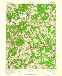
 1925 Blacksville1925 Print · USGSMonongalia and Marion Counties are shown in the mid-1920s, a period when rural life centered on a vast network of neighborhood schools and churches. Genealogists can trace family roots through specific landmarks like Stumptown School, Montana Mines, and Monumental Church.4 unique versions available
 - 1949 Map of Clarksburg
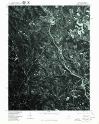
 1949 Clarksburg1949 Print · USGSThe upper Ohio River valley and the industrial heart of West Virginia come into focus during this post-war period. Genealogists and researchers can trace the rail corridors of the Baltimore and Ohio and locate centers like Fairmont, Grafton, and Waynesburg.
 - 1956 Map of Clarksburg, 1966 Print
 1956 Clarksburg1966 Print · USGSThe Ohio River valley and the industrial heart of West Virginia are seen here in the mid-1950s as rail and river commerce thrived. Researchers can trace historic transport lines like the Baltimore and Ohio RR and locate ancestral homes in Clarksburg, Moundsville, or Parkersburg.2 unique versions available
 - 1958 Map of Osage, 1961 Print
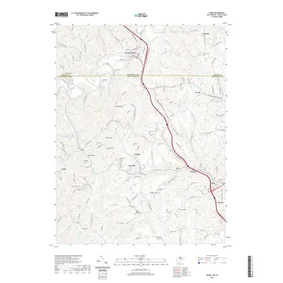
 1958 Osage1961 Print · USGSThe West Virginia-Pennsylvania state line and the Monongahela River valley are shown in the late fifties, capturing a landscape shaped by mining and rail. Genealogists can trace family names through rural landmarks like Lemley Cem, Greeley Sch, and the community at Mount Morris.3 unique versions available
 - 1961 Map of Clarksburg
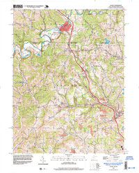
 1961 Clarksburg1961 Print · USGSThe mid-century industrial and river landscapes of West Virginia and Ohio are detailed here, centered on the Ohio River. Researchers can trace the Baltimore and Ohio rail lines connecting towns like Parkersburg, Clarksburg, and Monongah.
 - 1976 Map of Osage, 1979 Print
 1976 Osage1979 Print · USGSThe West Virginia and Pennsylvania borderlands come into focus in the mid-seventies, showing the coal-country settlements along the valley floors. Genealogists can trace the residential layouts and road networks of Mount Morris, Cassville, and Osage.
 - 1984 Map of Moundsville
 1984 Moundsville1984 Print · USGSThe Ohio River valley and the Appalachian interior meet in the mid-eighties as a hub of rail and river commerce. Genealogists and historians can trace the development of river towns like New Martinsville, inland hubs like Waynesburg, and the path of the B & O RR.
 - 1988 Map of Clarksburg, 1989 Print
 1988 Clarksburg1989 Print · USGSThe central Appalachians are documented in detail during the late eighties, showing the industrial and river-based economies of West Virginia, Ohio, and Pennsylvania. Researchers can trace historic rail routes like the B & O RR and locate river towns from St Marys to Parkersburg.
 - 1997 Map of Osage, 1999 Print
 1997 Osage1999 Print · USGSCrossing the Pennsylvania and West Virginia border in the late nineties, this area showcases the transition from traditional agriculture to intensive mining. Researchers can trace family sites like Greeley Sch, Buckeye Ch, and the Cedar Grove Cem near Mount Morris.
 - 2011 Map of Osage, 2011 Print
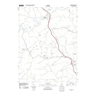 2011 Osage2011 Print · USGSCovers Fairchance, including Dunkard Township, Cassville, and other nearby areas
 - 2014 Map of Osage, 2014 Print
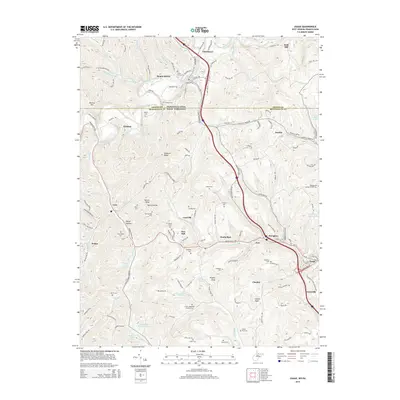 2014 Osage2014 Print · USGSCovers Fairchance, including Dunkard Township, Cassville, and other nearby areas
 - 2016 Map of Osage, 2016 Print
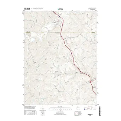 2016 Osage2016 Print · USGSCovers Fairchance, including Dunkard Township, Cassville, and other nearby areas
 - 2019 Map of Osage, 2019 Print
 2019 Osage2019 Print · USGSCovers Fairchance, including Dunkard Township, Cassville, and other nearby areas
 - 2023 Map of Osage, 2023 Print
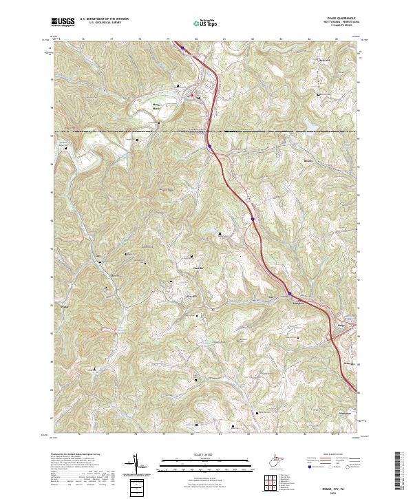 2023 Osage2023 Print · USGSThe Monongalia County borderlands come to life in this contemporary survey of the hills stretching from West Virginia into Pennsylvania. Genealogists can locate dozens of small rural burial sites including Cedar Grove Cem, Lough Cem, and the Brewster Cem near Osage.
End of results
Showing maps 1-16 of 16
Top cities near Fairchance
- Morgantown historical maps
- Luzerne Township historical maps
- Waynesburg historical maps
- Westover historical maps
- Masontown historical maps
- Springhill Township historical maps
See more
Frequently asked questions
- What are the different types of historical maps available for Fairchance?
- What is the oldest map of Fairchance?
- Where can I purchase historical maps of Fairchance for my home or office?
- Where can I download high-res historical maps of Fairchance?
- Are there historical topographic maps available for Fairchance?
- Is there historical aerial imagery available for Fairchance?
- Where are historical maps of Fairchance sourced from?