Old Maps of Richhill Township, Pennsylvania for Academic Research
Study the evolution of Richhill Township with 41 high-resolution historic maps. Whether you're teaching, researching, or modeling changes in land use, these maps provide essential visual documentation of urban, environmental, and geographic change.
- Analyze long-term change: Track patterns in development, transportation, and natural features.
- Ideal for environmental or urban studies: Support academic projects with primary historical map data.
- Use in the classroom or lab: Educators and researchers rely on these maps to bring historical context to life.
These maps are a powerful tool for teaching, research, and visualizing how Richhill Township has changed over the decades.
Richhill Township, PA maps
(41)- 1904 Map of Cameron
 1904 Cameron1904 Print · USGSMarshall County's river-and-rail economy is frozen in time at the dawn of the century, showing the dense settlement patterns of the West Virginia panhandle. Researchers can trace the Baltimore and Ohio R R through Rosbys Rock or locate rural landmarks like Beelers Station and the Waynesburg Turnpike.4 unique versions available
 - 1905 Map of Rogersville
 1905 Rogersville1905 Print · USGSGreene and Washington counties are documented here at the turn of the century as a maze of ridge-and-valley settlements. Genealogists can trace early homesteads and commerce hubs like Harveys P.O. Graysville, Simpson Store, and Ryerson Station.4 unique versions available
 - 1935 Map of Cameron, 1957 Print
 1935 Cameron1957 Print · USGSMarshall County in the mid-thirties was a landscape of deep hollows and high ridges linked by the Baltimore and Ohio RR. Genealogists and historians can locate dozens of country institutions like Wood Hill Ch, Beeler's Station, and Adaline Sch during the era of one-room schoolhouses.2 unique versions available
 - 1942 Map of Cameron
 1942 Cameron1942 Print · USGSThe northern panhandle in the early 1940s reveals a landscape of riverfront industry and remote ridge-top schools. Genealogists can locate family landmarks like Beelers Station, Blairs Ridge Ch, and the curiously named Squirrel Alley Sch.2 unique versions available
 - 1949 Map of Clarksburg
 1949 Clarksburg1949 Print · USGSThe upper Ohio River valley and the industrial heart of West Virginia come into focus during this post-war period. Genealogists and researchers can trace the rail corridors of the Baltimore and Ohio and locate centers like Fairmont, Grafton, and Waynesburg.
 - 1956 Map of Clarksburg, 1966 Print
 1956 Clarksburg1966 Print · USGSThe Ohio River valley and the industrial heart of West Virginia are seen here in the mid-1950s as rail and river commerce thrived. Researchers can trace historic transport lines like the Baltimore and Ohio RR and locate ancestral homes in Clarksburg, Moundsville, or Parkersburg.2 unique versions available
 - 1959 Map of Majorsville, 1961 Print
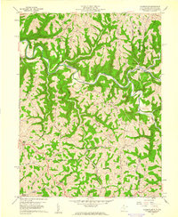 1959 Majorsville1961 Print · USGSThe Northern Panhandle borderlands are captured here in the late fifties, showing a landscape of high ridges and winding creek valleys. Researchers can trace rural heritage through local landmarks like Beelers Station, Mt Hope Sch, and the Upper Wolf Run Ch.4 unique versions available
 - 1960 Map of Cameron, 1961 Print
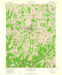 1960 Cameron1961 Print · USGSThe Marshall County highlands are captured here in the early sixties, showing the vital link between the Baltimore and Ohio railroad and the town of Cameron. Researchers can trace old family names and rural sites like Mount Carmel Church, the Highland Cemetery, and the Gas Field near Kausooth.4 unique versions available
 - 1961 Map of Clarksburg
 1961 Clarksburg1961 Print · USGSThe mid-century industrial and river landscapes of West Virginia and Ohio are detailed here, centered on the Ohio River. Researchers can trace the Baltimore and Ohio rail lines connecting towns like Parkersburg, Clarksburg, and Monongah.
 - 1964 Map of Rogersville, 1965 Print
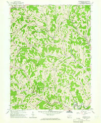 1964 Rogersville1965 Print · USGSGreene County entered the mid-sixties with a landscape defined by its deep creek valleys and a growing network of gas and oil infrastructure. Researchers can locate dozens of Gas Wells, the historic Covered Bridge, and community anchors like Nineveh and Beulah Ch.4 unique versions available
 - 1964 Map of Wind Ridge, 1965 Print
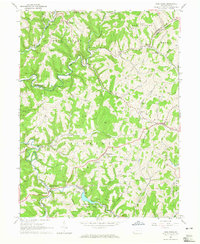 1964 Wind Ridge1965 Print · USGSGreene and Washington Counties are shown in the mid-sixties as a rural landscape of winding forks and deep-rooted small communities. Genealogists and local historians can locate family landmarks like Simpson Store, the Jacktown Fairgrounds, and several Covered Bridges.3 unique versions available
 - 1964 Map of New Freeport, 1965 Print
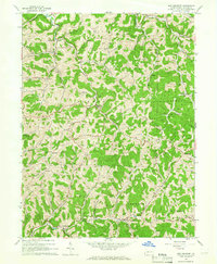 1964 New Freeport1965 Print · USGSGreene County is shown in the mid-1960s as a landscape of isolated hollows and high ridges connected by creek-side hamlets. Researchers can trace family history through sites like Dunkard Cem, the Covered Bridge near Strawn, and rural schools like Springhill-Freeport Sch.3 unique versions available
 - 1984 Map of Moundsville
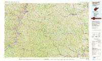 1984 Moundsville1984 Print · USGSThe Ohio River valley and the Appalachian interior meet in the mid-eighties as a hub of rail and river commerce. Genealogists and historians can trace the development of river towns like New Martinsville, inland hubs like Waynesburg, and the path of the B & O RR.
 - 1988 Map of Clarksburg, 1989 Print
 1988 Clarksburg1989 Print · USGSThe central Appalachians are documented in detail during the late eighties, showing the industrial and river-based economies of West Virginia, Ohio, and Pennsylvania. Researchers can trace historic rail routes like the B & O RR and locate river towns from St Marys to Parkersburg.
 - 1997 Map of Wind Ridge, 1999 Print
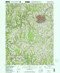 1997 Wind Ridge1999 Print · USGSSouthwestern Pennsylvania's rural hill country is mapped here in the late nineties, showing the transition between Greene and Washington counties. Genealogists can locate family burial grounds like Zollars Cem and trace the area surrounding the Jacktown Fairgrounds.
 - 1997 Map of Majorsville, 2000 Print
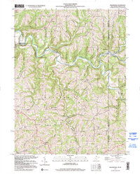 1997 Majorsville2000 Print · USGSThe West Virginia and Pennsylvania borderlands come into focus in the late nineties, documenting the high ridges and deep hollows of Marshall County. Genealogists can trace family footprints through sites like Beelers Station Ch, Earlywine Cem, and the vanished site of Crows Mills.
 - 2010 Map of Wind Ridge, 2010 Print
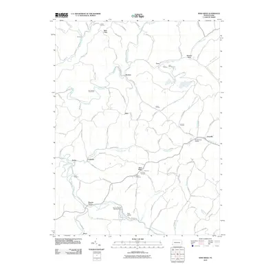 2010 Wind Ridge2010 Print · USGSThe southwestern Pennsylvania highlands are shown here in 2010, featuring the headwaters of the Dunkard Fork and Enlow Fork. Genealogists can trace numerous family burial sites like Lazear Cemetery or visit the long-standing Jacktown Fairgrounds near Wind Ridge.
 - 2010 Map of Rogersville, 2010 Print
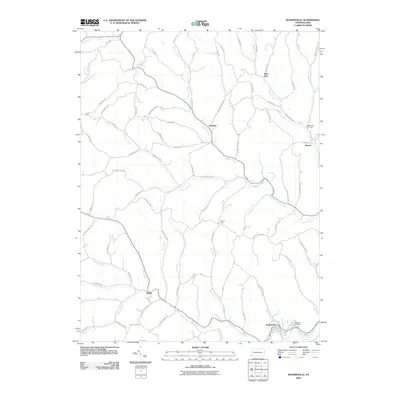 2010 Rogersville2010 Print · USGSWestern Washington County's ridge-and-valley landscape is documented here during the early twenty-first century. Researchers can trace family history through the roads and sites of Nineveh, Deer Lick, and the Bates Fork Cemetery.
 - 2010 Map of New Freeport, 2010 Print
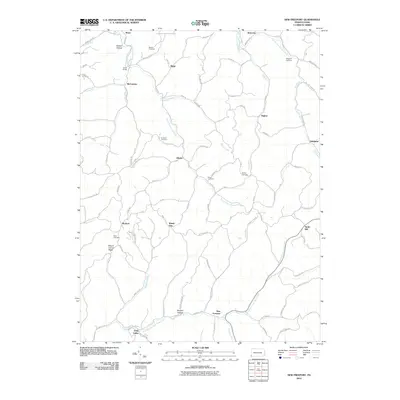 2010 New Freeport2010 Print · USGSAleppo Township and southern Greene County are mapped here in the early twenty-first century, showing a landscape defined by winding creek forks and high ridges. Researchers can trace family history through several rural burial sites, including Dunkard Cemetery and McDay Cemetery, or locate old landmarks like Smith Bridge.
 - 2011 Map of Majorsville, 2011 Print
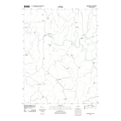 2011 Majorsville2011 Print · USGSThe borderlands of West Virginia and Pennsylvania appear here in the early twenty-first century as a landscape of interconnected ridges and narrow creek valleys. Researchers can locate family landmarks like Earlywine Cemetery and Wolf Run Cemetery or trace the early paths of Crows Mills and Majorsville.
 - 2011 Map of Cameron, 2011 Print
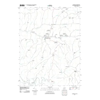 2011 Cameron2011 Print · USGSThe West Virginia-Pennsylvania borderlands come alive in this detailed record of Marshall County. Genealogists and historians can trace family roots through numerous sites like Bane Cemetery, the Welling Tunnel, and the settlement of Loudenville.
 - 2013 Map of Rogersville, 2013 Print
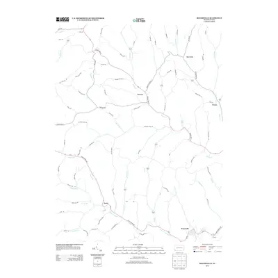 2013 Rogersville2013 Print · USGSThe rural valleys of Washington County are seen here in the early twenty-first century, centered on the historic crossroads of Nineveh. Researchers can trace the legacy of the region through small settlements like Rutan, local landmarks like Devils Half Acre, and Bear Lakes.
 - 2013 Map of New Freeport, 2013 Print
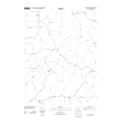 2013 New Freeport2013 Print · USGSGreene County’s rural valleys and ridges are documented here during the early twenty-first century. Genealogists and local historians can trace family land in small settlements like New Freeport, Aleppo, and Nettle Hill or along the banks of S Fork Dunkard Fork.
 - 2013 Map of Wind Ridge, 2013 Print
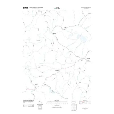 2013 Wind Ridge2013 Print · USGSSouthwestern Pennsylvania at the start of the 2010s reveals a deeply etched rural landscape of winding ridges and hollows. Genealogists can trace family names and local landmarks through sites like Simpson Store, Zimmerman Hollow, and the Jacktown Fairgrounds.
 - 2014 Map of Cameron, 2014 Print
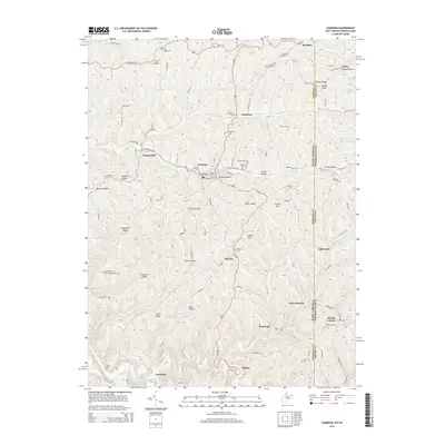 2014 Cameron2014 Print · USGSSpanning the West Virginia and Pennsylvania border, this Marshall County landscape shows a network of ridge-top farms and valley settlements. Family historians can locate numerous rural burial grounds, such as Hubbs Cem, Bane Cem, and Slonaker Cem.
Showing maps 1-25 of 41
Top cities near Richhill Township
- Wheeling historical maps
- South Strabane Township historical maps
- East Finley Township historical maps
- Cameron historical maps
- West Finley Township historical maps
- Triadelphia historical maps
See more
Top neighborhoods of Richhill Township
- Bryan historical maps
- Crabapple historical maps
- Durbin historical maps
- Nebo historical maps
- Wind Ridge historical maps
- Riggs historical maps
See more
Frequently asked questions
- What are the different types of historical maps available for Richhill Township?
- What is the oldest map of Richhill Township?
- Where can I purchase historical maps of Richhill Township for my home or office?
- Where can I download high-res historical maps of Richhill Township?
- Are there historical topographic maps available for Richhill Township?
- Is there historical aerial imagery available for Richhill Township?
- Where are historical maps of Richhill Township sourced from?