2000s (21st Century) Maps of Todd Township, Pennsylvania
Explore 20 historic maps of Todd Township from the 2000s (21st Century). These maps offer a rare glimpse into what life looked like during the 2000s — showing old roads, neighborhoods, homes, and landmarks that have changed or disappeared over time.
Whether you're researching your family's past, planning a metal detecting trip, or studying how Todd Township's landscape evolved across the 2000s, these high-resolution maps are a powerful tool for exploring the history of this region.
- Focus on a specific era: All maps on this page are from the 2000s, giving you a focused view of this time period.
- See what’s changed: Compare century-old streets, trails, and buildings to today's modern landscape using overlays and satellite layers.
- Research with precision: Use these maps for genealogy, historical research, land use analysis, or educational projects.
- View, download, or print: Maps are fully viewable online in high resolution, and can be downloaded or printed for your own records.
Start exploring Todd Township's history through authentic maps from the 2000s. This is your window into the past.
Todd Township, PA maps
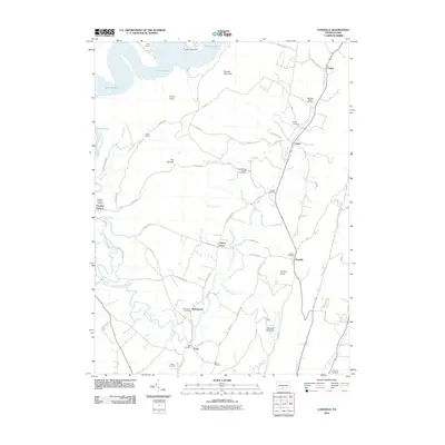
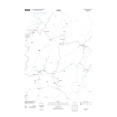
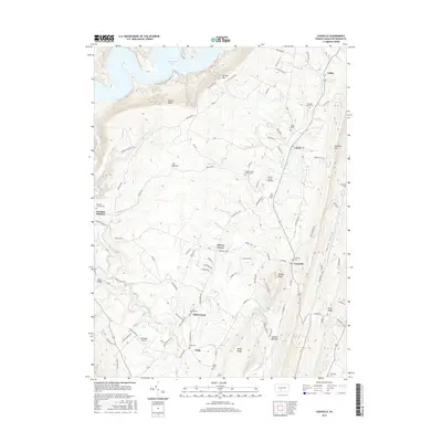
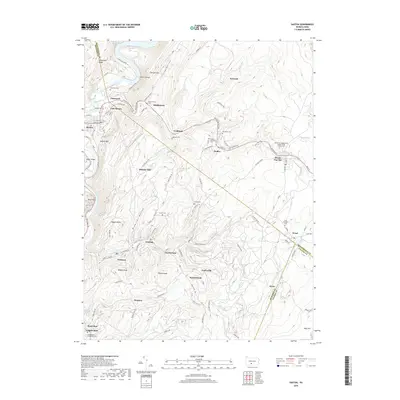
(20)- 2010 Map of Saxton, 2010 Print
 2010 Saxton2010 Print · USGSCovers Todd Township, including Saxton, Broad Top City, and other nearby areas
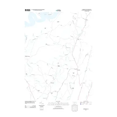
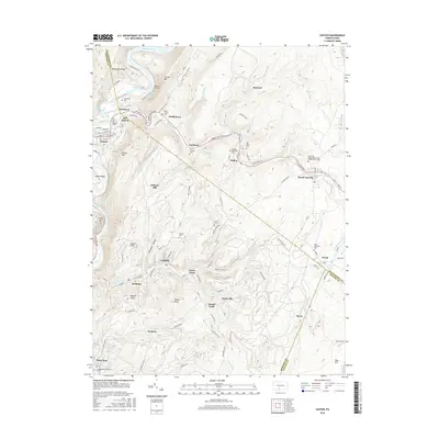
 - 2010 Map of Cassville, 2010 Print
 2010 Cassville2010 Print · USGSCovers Todd Township, including Cassville, Calvin, and other nearby areas
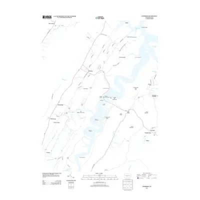
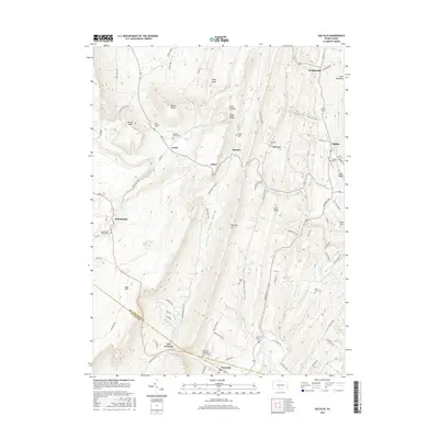
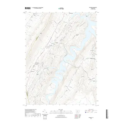
 - 2010 Map of Entriken, 2010 Print
 2010 Entriken2010 Print · USGSCovers Todd Township, including Marklesburg, Carbon Township, and other nearby areas
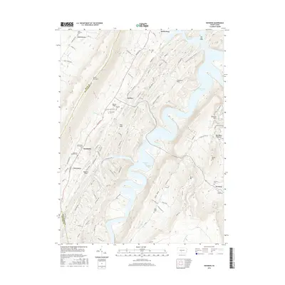
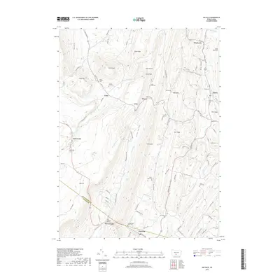
 - 2010 Map of Saltillo, 2010 Print
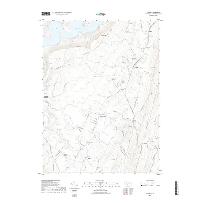
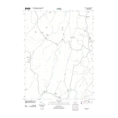 2010 Saltillo2010 Print · USGSCovers Todd Township, including Saltillo, Carbon Township, and other nearby areas
 - 2013 Map of Saltillo, 2013 Print
 2013 Saltillo2013 Print · USGSCovers Todd Township, including Saltillo, Carbon Township, and other nearby areas
 - 2013 Map of Saxton, 2013 Print
 2013 Saxton2013 Print · USGSCovers Todd Township, including Saxton, Broad Top City, and other nearby areas
 - 2013 Map of Cassville, 2013 Print
 2013 Cassville2013 Print · USGSCovers Todd Township, including Cassville, Calvin, and other nearby areas
 - 2013 Map of Entriken, 2013 Print
 2013 Entriken2013 Print · USGSCovers Todd Township, including Marklesburg, Carbon Township, and other nearby areas
 - 2016 Map of Entriken, 2016 Print
 2016 Entriken2016 Print · USGSCovers Todd Township, including Marklesburg, Carbon Township, and other nearby areas
 - 2016 Map of Cassville, 2016 Print
 2016 Cassville2016 Print · USGSCovers Todd Township, including Cassville, Calvin, and other nearby areas
 - 2016 Map of Saltillo, 2016 Print
 2016 Saltillo2016 Print · USGSCovers Todd Township, including Saltillo, Carbon Township, and other nearby areas
 - 2016 Map of Saxton, 2016 Print
 2016 Saxton2016 Print · USGSCovers Todd Township, including Saxton, Broad Top City, and other nearby areas
 - 2019 Map of Saltillo, 2019 Print
 2019 Saltillo2019 Print · USGSCovers Todd Township, including Saltillo, Carbon Township, and other nearby areas
 - 2019 Map of Cassville, 2019 Print
 2019 Cassville2019 Print · USGSCovers Todd Township, including Cassville, Calvin, and other nearby areas
 - 2019 Map of Saxton, 2019 Print
 2019 Saxton2019 Print · USGSCovers Todd Township, including Saxton, Broad Top City, and other nearby areas
 - 2019 Map of Entriken, 2019 Print
 2019 Entriken2019 Print · USGSCovers Todd Township, including Marklesburg, Carbon Township, and other nearby areas
 - 2023 Map of Saltillo, 2023 Print
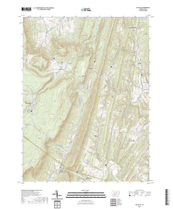 2023 Saltillo2023 Print · USGSThe Huntingdon and Fulton county line comes alive in this survey of the coal and mountain settlements during the early 2020s. Genealogists can trace family legacies at the Robertsdale Italian Cem, Mount Pleasant Cem, and Zion Methodist Church.
 - 2023 Map of Entriken, 2023 Print
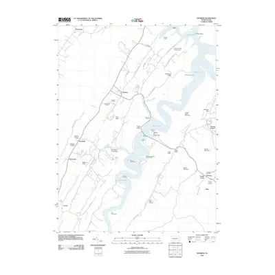
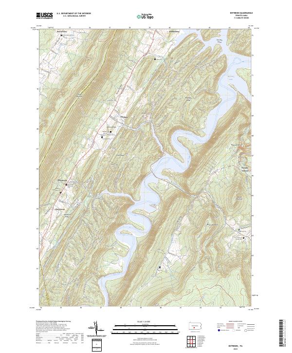 2023 Entriken2023 Print · USGSThe ridges and valleys of Huntingdon County are preserved here in the early twenty-first century, centered on the expansive waters of Raystown Lake. Genealogists and researchers can locate historic burial grounds like Brumbaugh Cem and Plummer Family Cem or trace the early industrial footprint of Paradise Furnace.
 - 2023 Map of Cassville, 2023 Print
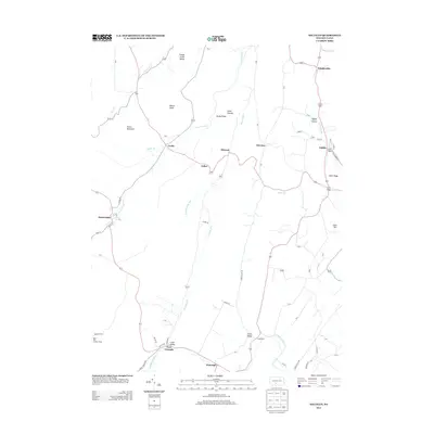
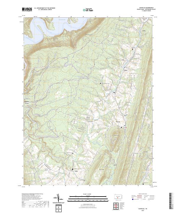 2023 Cassville2023 Print · USGSCentral Pennsylvania's ridge-and-valley landscape comes into focus in this recent survey of Huntingdon County. Genealogists and local researchers can trace the modern layout of rural settlements like Colfax and Calvin as they exist today.
 - 2023 Map of Saxton, 2023 Print
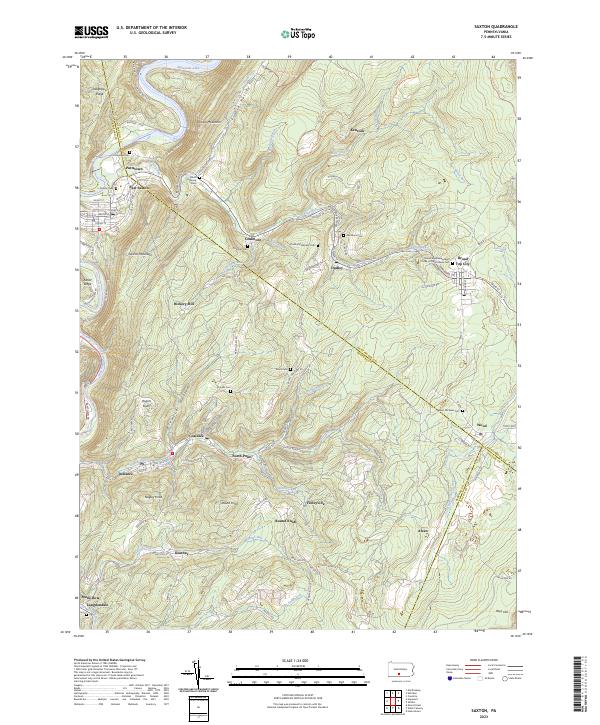 2023 Saxton2023 Print · USGSThe coal-country settlements of the Broad Top region are preserved here in detail during the early twenty-first century. Researchers can locate numerous family and community burial sites like Rhoat Family Cem, Duvalls Cem, and Saint Michaels Cem.
End of results
Showing maps 1-20 of 20
Top cities near Todd Township
- Frankstown Township historical maps
- Huntingdon historical maps
- Martinsburg historical maps
- Metal Township historical maps
- Williamsburg historical maps
- Saxton historical maps
See more
Top neighborhoods of Todd Township
- Paradise Furnace historical maps
- Salter historical maps
- Newburg historical maps
- Beavertown historical maps
- Joller historical maps
- Coles historical maps
See more
Frequently asked questions
- What are the different types of historical maps available for Todd Township?
- What is the oldest map of Todd Township?
- Where can I purchase historical maps of Todd Township for my home or office?
- Where can I download high-res historical maps of Todd Township?
- Are there historical topographic maps available for Todd Township?
- Is there historical aerial imagery available for Todd Township?
- Where are historical maps of Todd Township sourced from?