2000s (21st Century) Maps of Canoe Township, Pennsylvania
Explore 10 historic maps of Canoe Township from the 2000s (21st Century). These maps offer a rare glimpse into what life looked like during the 2000s — showing old roads, neighborhoods, homes, and landmarks that have changed or disappeared over time.
Whether you're researching your family's past, planning a metal detecting trip, or studying how Canoe Township's landscape evolved across the 2000s, these high-resolution maps are a powerful tool for exploring the history of this region.
- Focus on a specific era: All maps on this page are from the 2000s, giving you a focused view of this time period.
- See what’s changed: Compare century-old streets, trails, and buildings to today's modern landscape using overlays and satellite layers.
- Research with precision: Use these maps for genealogy, historical research, land use analysis, or educational projects.
- View, download, or print: Maps are fully viewable online in high resolution, and can be downloaded or printed for your own records.
Start exploring Canoe Township's history through authentic maps from the 2000s. This is your window into the past.
Canoe Township, PA maps
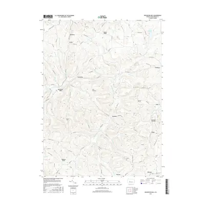
(10)- 2010 Map of Rochester Mills, 2010 Print
 2010 Rochester Mills2010 Print · USGSCovers Canoe Township, including Banks Township, Smithport, and other nearby areas
 - 2010 Map of Punxsutawney, 2010 Print
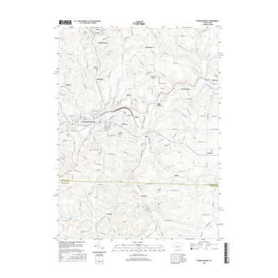
 2010 Punxsutawney2010 Print · USGSCovers Canoe Township, including Punxsutawney, Winslow, and other nearby areas
 - 2013 Map of Punxsutawney, 2013 Print
 2013 Punxsutawney2013 Print · USGSCovers Canoe Township, including Punxsutawney, Winslow, and other nearby areas
 - 2013 Map of Rochester Mills, 2013 Print
 2013 Rochester Mills2013 Print · USGSCovers Canoe Township, including Banks Township, Smithport, and other nearby areas
 - 2016 Map of Punxsutawney, 2016 Print
 2016 Punxsutawney2016 Print · USGSCovers Canoe Township, including Punxsutawney, Winslow, and other nearby areas
 - 2016 Map of Rochester Mills, 2016 Print
 2016 Rochester Mills2016 Print · USGSCovers Canoe Township, including Banks Township, Smithport, and other nearby areas
 - 2019 Map of Rochester Mills, 2019 Print
 2019 Rochester Mills2019 Print · USGSCovers Canoe Township, including Banks Township, Smithport, and other nearby areas
 - 2019 Map of Punxsutawney, 2019 Print
 2019 Punxsutawney2019 Print · USGSCovers Canoe Township, including Punxsutawney, Winslow, and other nearby areas
 - 2023 Map of Rochester Mills, 2023 Print
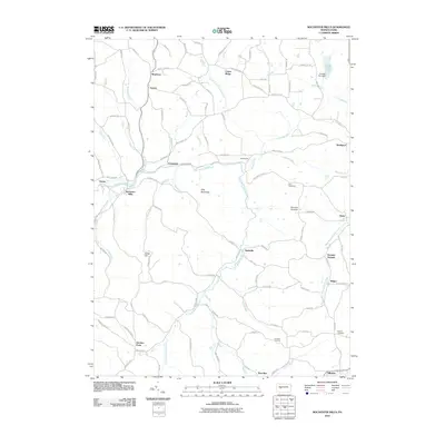
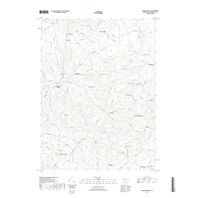
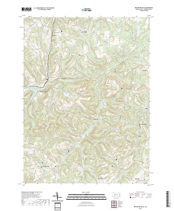 2023 Rochester Mills2023 Print · USGSThe rural uplands of Indiana County appear here in detail, showing a landscape defined by the winding Little Mahoning Creek. Researchers can trace old family sites and crossroads near Rochester Mills, Nashville, and burial grounds like Pine Vale Cem.
 - 2023 Map of Punxsutawney, 2023 Print
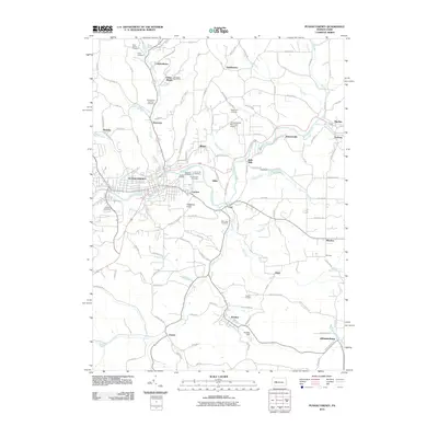
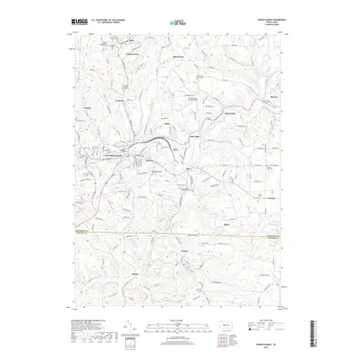
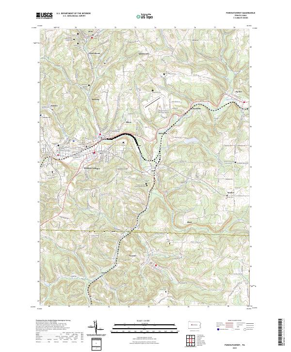 2023 Punxsutawney2023 Print · USGSPunxsutawney and its surrounding hamlets are captured in this recent survey of Jefferson and Indiana Counties. Researchers can locate numerous historic burial grounds like Clayville Cem and Circle Hill Cem, or trace the path of the Mahoning Shadow Trl.
End of results
Showing maps 1-10 of 10
Top cities near Canoe Township
- Sandy Township historical maps
- Punxsutawney historical maps
- Northern Cambria historical maps
- Rayne Township historical maps
- Winslow historical maps
- Clymer historical maps
See more
Top neighborhoods of Canoe Township
- Locust historical maps
- Roseboro historical maps
- Canoe Ridge historical maps
- Enterprise historical maps
- Juneau historical maps
- Rossiter historical maps
Frequently asked questions
- What are the different types of historical maps available for Canoe Township?
- What is the oldest map of Canoe Township?
- Where can I purchase historical maps of Canoe Township for my home or office?
- Where can I download high-res historical maps of Canoe Township?
- Are there historical topographic maps available for Canoe Township?
- Is there historical aerial imagery available for Canoe Township?
- Where are historical maps of Canoe Township sourced from?