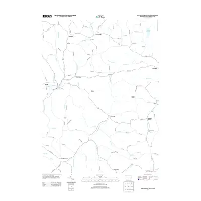
2013 Map of Rochester Mills
USGS Topo · Published 2013About this map
Rochester Mills and the surrounding townships of Indiana County appear in this modern survey, characterized by a complex network of creeks and small crossroads settlements. The landscape is defined by the winding course of Little Mahoning Cr, which draws together several smaller tributaries like Broadhead Run, Hess Run, and Leasure Run. Rural life and local commerce are anchored at Nashville, Gipsy, and Deckers Point, where many secondary roads converge. Historically named terrain such as Canoe Ridge, Kinter Hill, and Doty Roundtop break the plateau, providing a glimpse into the traditional naming conventions of this Pennsylvania interior. The presence of smaller hamlets like Roseboro, Locust, and Enterprise illustrates a pattern of dispersed agricultural and perhaps former resource-extraction hubs that have shaped the county's genealogy for generations.
Find a feature on this map
113 named features on this map. Tap any name to fly to it.
Don’t see what you’re looking for? This feature index may not catch every label — zoom into the map to look around manually.
Map Details
Editions of this 2013 Rochester Mills Map
This is the sole edition of this map. No revisions or reprints were ever made.
Other maps of this area

1902 · Indiana
USGS Topo · 1:62,500

1902 · Barnesboro
USGS Topo · 1:62,500

1904 · Barnesboro
USGS Topo · 1:62,500

1906 · Punxsutawney
USGS Topo · 1:62,500

1909 · Smicksburg
USGS Topo · 1:62,500

1938 · Smicksburg
USGS Topo · 1:62,500

1939 · Smicksburg
USGS Topo · 1:62,500

1939 · Punxsutawney
USGS Topo · 1:62,500

1942 · Punxsutawney
USGS Topo · 1:62,500

1943 · Punxsutawney
USGS Topo · 1:125,000
Featured Places
- Banks Township, PA
- Smithport, Banks Township
- Enterprise, Canoe Township
- Nashville, Grant Township
- East Mahoning Township, PA