Old Maps of Grant Township, Pennsylvania for Genealogy
Trace your family roots with 24 historic maps of Grant Township. These high-res maps reveal old neighborhoods, homesites, landmarks, and streets — helping you uncover where your ancestors lived and how the area evolved over time.
- Explore historic neighborhoods: Identify where your relatives may have lived in the 1800s or 1900s.
- Compare maps over time: Trace the changes in streets, buildings, and landmarks for multi-generational research.
- Perfect for genealogy & ancestry research: Used by family historians and researchers to map out lineage and migration.
These maps are an incredible resource for exploring your personal connection to Grant Township's past.
Grant Township, PA maps
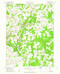
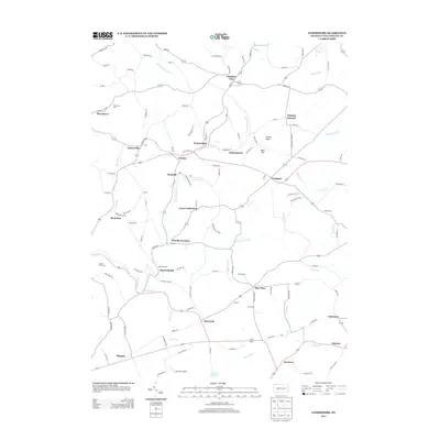
(24)- 1902 Map of Barnesboro, 1956 Print
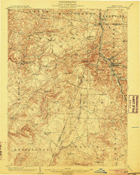
 1902 Barnesboro1956 Print · USGSIndiana and Cambria counties are documented here at a peak of rail and coal development. Genealogists and historians can trace family roots through numerous small settlements like Possum Glory and Nicktown or follow the Pennsylvania RR through the bustling streets of Barnesboro.
 - 1904 Map of Barnesboro
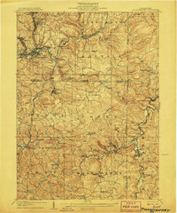
 1904 Barnesboro1904 Print · USGSNorthwestern Cambria County was a hub of river and rail activity at the turn of the century, as the coal industry took hold. Genealogists can trace family names and small settlements from Barnesboro and Cherrytree to remote outposts like Strongstown and Nolo.5 unique versions available
 - 1906 Map of Punxsutawney
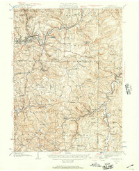
 1906 Punxsutawney1906 Print · USGSPunxsutawney and the surrounding coal townships of the early 1900s are captured here at the height of the region's industrial growth. Genealogists and historians can trace the specific locations of historic post offices like Adrian and Gettysburg alongside family-named sites such as Bella Mills.4 unique versions available
 - 1939 Map of Punxsutawney, 1957 Print
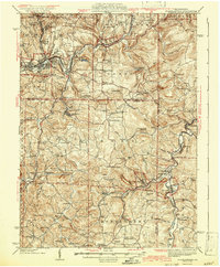
 1939 Punxsutawney1957 Print · USGSPunxsutawney and the surrounding coal-and-rail country appear here in the years leading up to World War II. Genealogists and historians can trace defunct school districts like Harmony Thomas Sch, early rail junctions in Cloe, and burial sites at Fairview Cem.2 unique versions available
 - 1942 Map of Punxsutawney
 1942 Punxsutawney1942 Print · USGSWest-central Pennsylvania during the early war years reveals a landscape shaped by rail transport and deep-rooted rural communities. Researchers can trace the legacy of local education and industry through dozens of named sites like Harmony Thomas School, McGees Mills, and Bells Mills.2 unique versions available
 - 1943 Map of Punxsutawney
 1943 Punxsutawney1943 Print · USGSThe Pennsylvania coal country around the turn of the century and through the war years is captured in this detailed survey of Jefferson, Indiana, and Clearfield counties. Researchers can trace the rail-reliant economy through Findley Mills, Rossiter Junction, and landmarks like the St Lawrence Fire Tower.
 - 1953 Map of Pittsburgh
 1953 Pittsburgh1953 Print · USGSWestern Pennsylvania's industrial landscape at the start of the fifties shows the steel and rail corridors between Pittsburgh and Altoona. Trace family roots in river towns like Tarentum or follow the Pennsylvania Turnpike across Laurel Hill.
 - 1954 Map of Pittsburgh
 1954 Pittsburgh1954 Print · USGSWestern Pennsylvania in the early fifties remains a powerhouse of heavy industry and vital transit corridors. Genealogists and historians can trace the rail-and-river network connecting Pittsburgh, Johnstown, and Altoona via the Pennsylvania RR and the Lincoln Highway.2 unique versions available
 - 1958 Map of Pittsburgh
 1958 Pittsburgh1958 Print · USGSWestern Pennsylvania in the late fifties shows an industrial heartland defined by the confluence of the Allegheny River and Monongahela River. Researchers can trace the sprawling rail networks of the Pennsylvania RR and find established towns like Butler, Latrobe, and Windber.5 unique versions available
 - 1959 Map of Pittsburgh
 1959 Pittsburgh1959 Print · USGSWestern Pennsylvania in the late fifties is captured here at the height of its industrial era. Genealogists and historians can trace the riverfront growth of Pittsburgh, the rail works at Altoona, and the mountain gaps of Laurel Hill.
 - 1961 Map of Commodore, 1963 Print
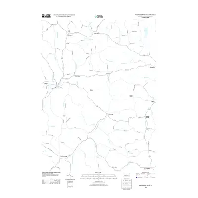
 1961 Commodore1963 Print · USGSIndiana County's mining and rail landscape is captured here in the early sixties, showing the active extraction economy around Commodore and Starford. Genealogists and historians can trace family locations near Learn Settlement, Wandin Junction, or rural landmarks like Laurel Swamp Union Ch.5 unique versions available
 - 1964 Map of Pittsburgh
 1964 Pittsburgh1964 Print · USGSWestern Pennsylvania in the late fifties and early sixties shows a landscape of powerful river industries and expanding highways. Genealogists and historians can trace the rail corridors of the Pennsylvania RR through industrial hubs like Johnstown, Altoona, and Nanty Glo.
 - 1968 Map of Rochester Mills, 1970 Print
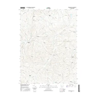
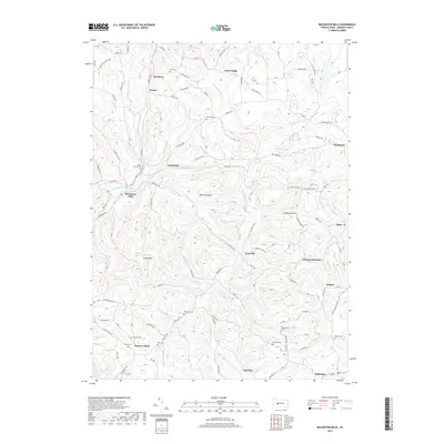
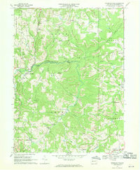 1968 Rochester Mills1970 Print · USGSIndiana County's rural heartland is captured here in the late sixties, showing a landscape defined by small hamlets and active resource extraction. Genealogists and local historians can trace family-named sites like Deckers Point, the Canoe-Grant Sch, and Montgomery Ch.5 unique versions available
 - 1984 Map of Tyrone, 1985 Print
 1984 Tyrone1985 Print · USGSCentral Pennsylvania in the mid-eighties shows a rugged landscape defined by the industry of Altoona and the ridges of the Appalachians. Genealogists and historians can trace the rail corridors of CONRAIL and locate vanished family homes near Glendale Lake or within Sinking Valley.
 - 2010 Map of Rochester Mills, 2010 Print
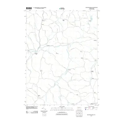 2010 Rochester Mills2010 Print · USGSCovers Grant Township, including Banks Township, Smithport, and other nearby areas
 - 2010 Map of Commodore, 2010 Print
 2010 Commodore2010 Print · USGSCovers Grant Township, including Rayne Township, Pine Township, and other nearby areas
 - 2013 Map of Commodore, 2013 Print
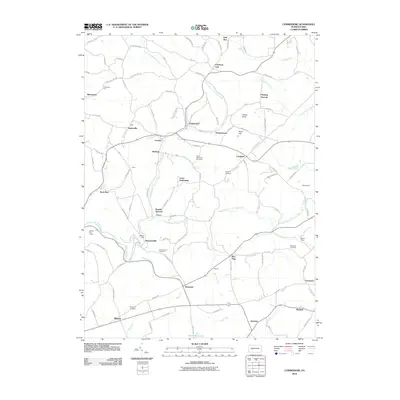
 2013 Commodore2013 Print · USGSCovers Grant Township, including Rayne Township, Pine Township, and other nearby areas
 - 2013 Map of Rochester Mills, 2013 Print
 2013 Rochester Mills2013 Print · USGSCovers Grant Township, including Banks Township, Smithport, and other nearby areas
 - 2016 Map of Commodore, 2016 Print
 2016 Commodore2016 Print · USGSCovers Grant Township, including Rayne Township, Pine Township, and other nearby areas
 - 2016 Map of Rochester Mills, 2016 Print
 2016 Rochester Mills2016 Print · USGSCovers Grant Township, including Banks Township, Smithport, and other nearby areas
 - 2019 Map of Rochester Mills, 2019 Print
 2019 Rochester Mills2019 Print · USGSCovers Grant Township, including Banks Township, Smithport, and other nearby areas
 - 2019 Map of Commodore, 2019 Print
 2019 Commodore2019 Print · USGSCovers Grant Township, including Rayne Township, Pine Township, and other nearby areas
 - 2023 Map of Rochester Mills, 2023 Print
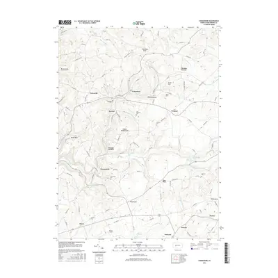
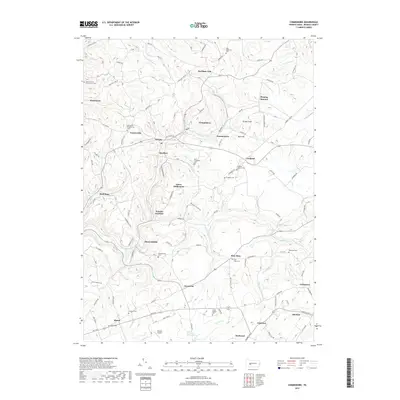
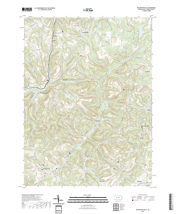 2023 Rochester Mills2023 Print · USGSThe rural uplands of Indiana County appear here in detail, showing a landscape defined by the winding Little Mahoning Creek. Researchers can trace old family sites and crossroads near Rochester Mills, Nashville, and burial grounds like Pine Vale Cem.
 - 2023 Map of Commodore, 2023 Print
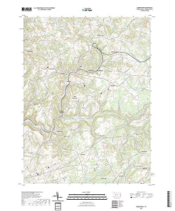 2023 Commodore2023 Print · USGSIndiana County settlement and the upper watershed of Two Lick Creek are captured here in the early twenty-first century. Researchers can trace rural lineages through sites like Learn Settlement, Wandin Junction, and the Saint Elizabeths Cem.
End of results
Showing maps 1-24 of 24
Top cities near Grant Township
- Indiana historical maps
- Punxsutawney historical maps
- Northern Cambria historical maps
- Rayne Township historical maps
- Winslow historical maps
- Brush Valley Township historical maps
See more
Top neighborhoods of Grant Township
- Deckers Point historical maps
- East Run historical maps
- Rochester Mills historical maps
- Nashville historical maps
Frequently asked questions
- What are the different types of historical maps available for Grant Township?
- What is the oldest map of Grant Township?
- Where can I purchase historical maps of Grant Township for my home or office?
- Where can I download high-res historical maps of Grant Township?
- Are there historical topographic maps available for Grant Township?
- Is there historical aerial imagery available for Grant Township?
- Where are historical maps of Grant Township sourced from?