Old Maps of Walker Township, Pennsylvania for Academic Research
Study the evolution of Walker Township with 23 high-resolution historic maps. Whether you're teaching, researching, or modeling changes in land use, these maps provide essential visual documentation of urban, environmental, and geographic change.
- Analyze long-term change: Track patterns in development, transportation, and natural features.
- Ideal for environmental or urban studies: Support academic projects with primary historical map data.
- Use in the classroom or lab: Educators and researchers rely on these maps to bring historical context to life.
These maps are a powerful tool for teaching, research, and visualizing how Walker Township has changed over the decades.
Walker Township, PA maps
(23)- 1925 Map of Mifflintown
 1925 Mifflintown1925 Print · USGSJuniata County in the mid-1920s is a landscape of river-oriented towns and remote mountain gaps. Genealogists and historians can trace family roots through numerous local landmarks like Peach Blossom School, Jericho Mills, and the village of Mifflintown.
 - 1934 Map of Mifflintown, 1962 Print
 1934 Mifflintown1962 Print · USGSThe Juniata River valley and the ridges of the Pennsylvania heartland appear here in the mid-1930s. Researchers can trace the path of the Pennsylvania RR through Mifflintown or locate family landmarks like Raubs Mills, Seawra Cave, and Church Hill Sch.
 - 1937 Map of Mifflintown
 1937 Mifflintown1937 Print · USGSJuniata County in the mid-1930s shows a landscape of tight-knit valley communities and mountain gaps along the Juniata River. Genealogists and historians can trace family locations near dozens of rural landmarks, including Oakland Mills, Port Royal, and the Old Port Sch.3 unique versions available
 - 1950 Map of Harrisburg, 1952 Print
 1950 Harrisburg1952 Print · USGSMid-century Central Pennsylvania comes alive through its dense rail networks and river valley settlements during the post-war industrial era. Genealogists and historians can trace family roots through hubs like Harrisburg, locate Carlisle Barracks, or follow the Pennsylvania RR through the Lebanon Valley.
 - 1957 Map of Harrisburg
 1957 Harrisburg1957 Print · USGSMid-century Central Pennsylvania comes into focus as a bustling network of rail, river, and mountain ridges. Genealogists and historians can trace the development of the State Capitol and surrounding hubs like Middletown, Columbia, and Pottsville.7 unique versions available
 - 1959 Map of Mifflintown, 1960 Print
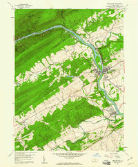 1959 Mifflintown1960 Print · USGSJuniata County boroughs and riverfront settlements are captured here in the late fifties as modern highways began to parallel the historic rail lines. Researchers can trace family sites at Church Hill Cem, locate the old Drive-in Theater, and explore the layout of Mifflintown and Port Royal.5 unique versions available
 - 1959 Map of Mexico, 1960 Print
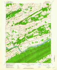 1959 Mexico1960 Print · USGSJuniata County life in the late fifties centered on the river corridor and the fertile valleys between rising ridges. Researchers can trace family history through numerous landmarks like Jericho Mills, Township Sch, and the Cedar Grove Ch.4 unique versions available
 - 1961 Map of Harrisburg
 1961 Harrisburg1961 Print · USGSCentral Pennsylvania is shown at a mid-century peak of industrial and military activity, from the Susquehanna water gaps to the fertile Dutch Country. Genealogists and historians can trace the rail corridors of the Pennsylvania RR and find landmarks like Carlisle Barracks or the Anthracite Coal Fields.2 unique versions available
 - 1964 Map of Harrisburg
 1964 Harrisburg1964 Print · USGSCentral Pennsylvania in the mid-fifties reveals a landscape shaped by ridge-and-valley geology and critical Cold War infrastructure. Researchers can trace the massive Indiantown Gap Military Reservation or the rail corridors of the Pennsylvania RR and Reading RR.
 - 1977 Map of Mifflintown, 1979 Print
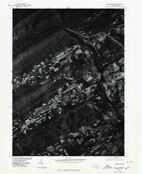 1977 Mifflintown1979 Print · USGSThe Juniata River valley in the late seventies reveals the tight-knit settlement of Mifflintown and neighboring Mifflin. Genealogists and historians can trace property boundaries along Lost Creek or follow the agricultural strips rising toward Shade Mountain.
 - 1977 Map of Mexico, 1979 Print
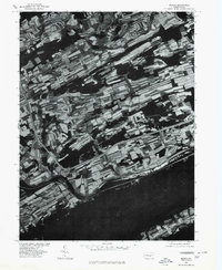 1977 Mexico1979 Print · USGSJuniata County in the late seventies is shown here through detailed aerial imagery of the river valley. Researchers can trace the farm boundaries and small settlements of Mexico, Oakland Mills, and Locust Run along the Juniata River.
 - 1984 Map of State College, 1985 Print
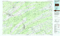 1984 State College1985 Print · USGSCentral Pennsylvania’s Ridge-and-Valley province is captured here in the mid-eighties, showing the deep connection between the mountain terrain and the region's historic settlements. Researchers can trace the layout of Pennsylvania State University and follow old rail corridors like the Bellefonte Historical RR and Conrail.
 - 1988 Map of State College, 1989 Print
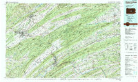 1988 State College1989 Print · USGSCentral Pennsylvania in the late eighties shows the sprawling influence of Pennsylvania State University against a backdrop of ancient ridges. Genealogists can trace family landmarks like Church Hill Church and the Bellefonte Cemetery across the deep valleys.
 - 2010 Map of Mifflintown, 2010 Print
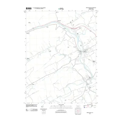 2010 Mifflintown2010 Print · USGSThe Juniata River corridor is shown in detail during the early 2010s, capturing the enduring settlement patterns of Mifflin and Juniata Counties. Genealogists and local historians can locate Union Cemetery, trace the old roads through Hammer Hollow, and find landmarks like Cuba Mills and Zooks Dam.
 - 2010 Map of Mexico, 2010 Print
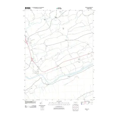 2010 Mexico2010 Print · USGSThe Juniata River valley and the historic Pennsylvania Canal corridor appear in detail in this study of central Pennsylvania. Researchers can trace family sites at Jericho Mills or find ancestral burial grounds like Rothrock Cemetery and Kilmer Cemetery.
 - 2013 Map of Mexico, 2013 Print
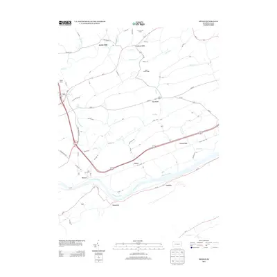 2013 Mexico2013 Print · USGSJuniata County's river valley and rural uplands are shown here in the early twenty-first century, highlighting a landscape shaped by historical water power and transport. Genealogists and local historians can trace family-named sites and small settlements like Jericho Mills, Van Wert, and the riverfront community of Mexico.
 - 2013 Map of Mifflintown, 2013 Print
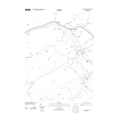 2013 Mifflintown2013 Print · USGSThe Juniata River valley in the early 2010s remains a corridor of historic boroughs and gap-land settlements. Researchers can trace the layout of Mifflintown, locate the Mifflintown Airport, or find family sites near Cuba Mills and Port Royal.
 - 2016 Map of Mexico, 2016 Print
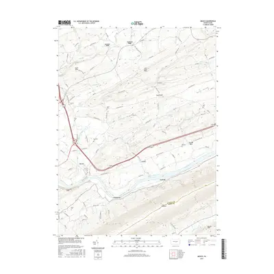 2016 Mexico2016 Print · USGSThe Juniata River valley and the slopes of Tuscarora Mountain are captured here in the mid-2010s, revealing a landscape steeped in early transportation and family history. Researchers can trace the path of the Pennsylvania Canal and locate numerous family burial sites like Adams Cem and Diven Cem.
 - 2016 Map of Mifflintown, 2016 Print
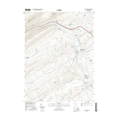 2016 Mifflintown2016 Print · USGSThe Juniata River valley and its surrounding ridges are captured here in the mid-2010s, showing the enduring structure of these riverfront towns. Genealogists and local historians can trace family locations near Church Hill Cem or explore established centers like Mifflintown and Port Royal.
 - 2019 Map of Mifflintown, 2019 Print
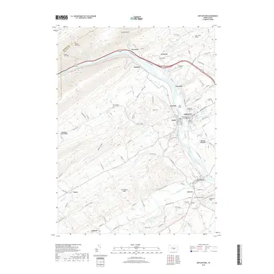 2019 Mifflintown2019 Print · USGSJuniata County's river-driven geography is on full display in this modern survey of the river corridor and surrounding ridges. Genealogists can trace family connections through numerous burial grounds including Union Cem, New Church Hill Cem, and the Rennig-Sieber Cem.
 - 2019 Map of Mexico, 2019 Print
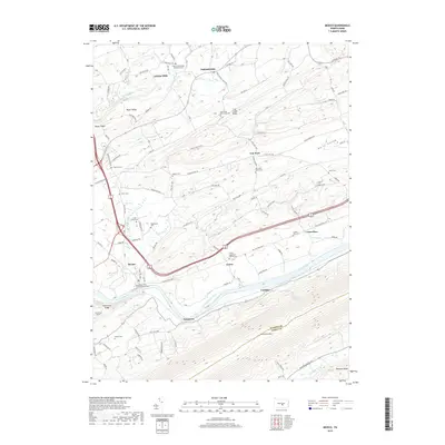 2019 Mexico2019 Print · USGSJuniata County's river-and-ridge landscape is captured here in the late twenty-teens, showing the enduring settlement patterns of central Pennsylvania. Family historians can trace ancestral roots through numerous burial grounds like the Old Order Amish Cem or locate the historic sites of Jericho Mills and the Pennsylvania Canal.
 - 2023 Map of Mifflintown, 2023 Print
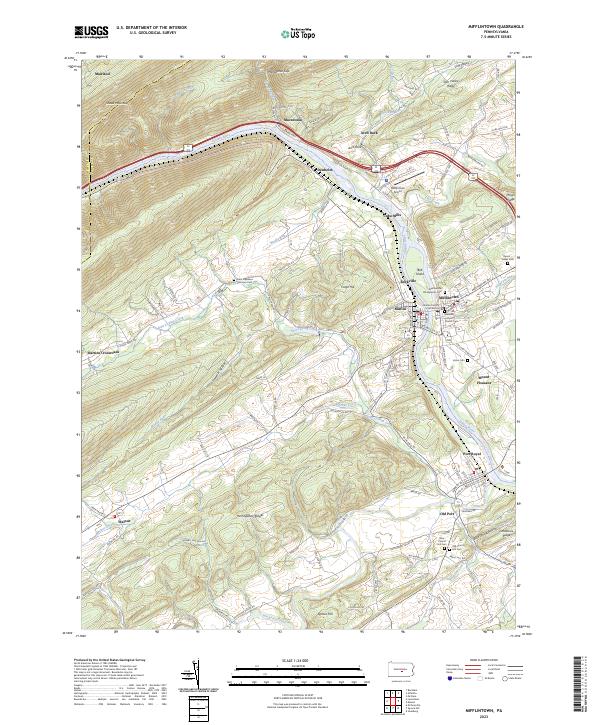 2023 Mifflintown2023 Print · USGSJuniata County life centers on the river gap between Shade Mountain and the Herringbone Ridges in this contemporary survey of the Pennsylvania heartland. Researchers can trace the layout of the boroughs at Mifflintown and Port Royal, or locate family sites at Old Church Hill Cem and Walnut.
 - 2023 Map of Mexico, 2023 Print
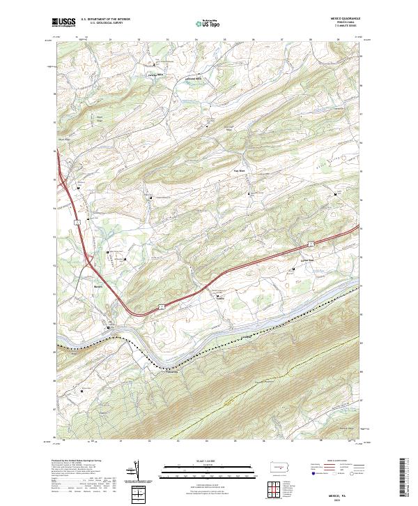 2023 Mexico2023 Print · USGSJuniata County's ridge-and-valley landscape is documented here in the early twenty-first century, centered on the historic river corridor. Genealogists and local historians can locate numerous rural burial sites including the Old Order Amish Cem, Bookwalter Cem, and the Mexico-Town Community Cem.
End of results
Showing maps 1-23 of 23
Top cities near Walker Township
- Lewistown historical maps
- Granville Township historical maps
- Decatur Township historical maps
- Saville Township historical maps
- Centre historical maps
- Burnham historical maps
See more
Top neighborhoods of Walker Township
- Centre historical maps
- Locust Run historical maps
- Mexico historical maps
- Mount Pleasant historical maps
- Vandyke historical maps
- Van Wert historical maps
Frequently asked questions
- What are the different types of historical maps available for Walker Township?
- What is the oldest map of Walker Township?
- Where can I purchase historical maps of Walker Township for my home or office?
- Where can I download high-res historical maps of Walker Township?
- Are there historical topographic maps available for Walker Township?
- Is there historical aerial imagery available for Walker Township?
- Where are historical maps of Walker Township sourced from?