Old Maps of Old Forge, Pennsylvania for Metal Detecting
Plan your next treasure hunt with 47 historic maps of Old Forge. Find old homesites, ghost towns, trails, and gathering spots that may be lost to time — perfect for identifying promising metal detecting locations.
- Locate forgotten sites: Uncover places like long-lost settlements, abandoned rail lines, or gathering spots.
- Plan better hunts: Use map overlays combined with LiDAR or satellite views to narrow in on historically rich areas.
- Made for detectorists: Thousands of hobbyists use these maps to discover relics, coins, and hidden history.
Use these historic maps to boost your research and find new opportunities beneath the surface of Old Forge.
Old Forge, PA maps
(47)- 1889 Map of Scranton, 1954 Print
 1889 Scranton1954 Print · USGSThe industrial heart of the Lackawanna Valley is captured here during its late 19th-century boom, showing the dense rail networks and coal towns of the era. Genealogists can trace family roots through early street grids in Scranton and Dunmore or smaller settlements like Barberstown and Priceburg.
 - 1891 Map of Scranton
 1891 Scranton1891 Print · USGSThe Lackawanna Valley thrived at the peak of the coal era when rail lines and mine patches crowded the riverbanks. Genealogists and industrial historians can trace the early footprints of Scranton, Dunmore, and Old Forge alongside the Delaware and Hudson Canal Co R R.
 - 1893 Map of Pittston
 1893 Pittston1893 Print · USGSThe industrial Wyoming Valley and the rural uplands of the Susquehanna meet in this late nineteenth-century survey. Researchers can trace the complex rail networks of Pittston and West Pittston or locate family roots in settlements like Forty Fort, Maltby, and Falls.9 unique versions available
 - 1893 Map of Scranton
 1893 Scranton1893 Print · USGSLackawanna County's anthracite heartland is shown in detail during the late nineteenth-century industrial boom. Genealogists and historians can trace the early street grids of Scranton and Dunmore or locate smaller settlements like Old Forge and Barber Town.7 unique versions available
 - 1943 Map of Scranton
 1943 Scranton1943 Print · USGSNortheastern Pennsylvania’s coal and rail corridor comes to life in the 1940s, showcasing the dense urban industrial centers of the Wyoming Valley. Genealogists can locate family landmarks like the Fayette School and Locust Ridge School or trace the early paths of the DL & W and Erie railroads.
 - 1946 Map of Avoca, 1959 Print
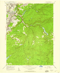 1946 Avoca1959 Print · USGSThe coal-rich Lackawanna Valley is shown here just after the war, as heavy industry and new aviation infrastructure transformed the landscape. Researchers can trace the extensive rail networks and local landmarks like the Consolidated Breaker, Belian Village, and Sacred Heart Cem.5 unique versions available
 - 1946 Map of Ransom, 1964 Print
 1946 Ransom1964 Print · USGSThe Susquehanna River valley in the 1940s shows a landscape of river-bend settlements and early aviation infrastructure. Researchers can trace the Lehigh Valley rail line and locate landmarks like the Ransom-Newton State Hospital and Scranton Airport.4 unique versions available
 - 1947 Map of Scranton, 1957 Print
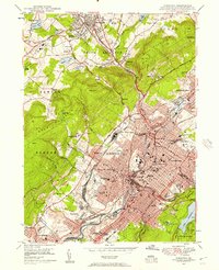 1947 Scranton1957 Print · USGSThe Lackawanna Valley in the late 1940s is a high-density industrial corridor defined by its deep coal roots and rail networks. Genealogists can locate family names at Forest Hill Cemetery, trace the early campus of Scranton University, or find vanished neighborhood landmarks like the State Oral Sch.4 unique versions available
 - 1947 Map of Pittston, 1961 Print
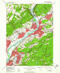 1947 Pittston1961 Print · USGSLuzerne County's industrial heartland is captured here in the late 1940s, showing the dense rail-and-river corridor of the Wyoming Valley. Genealogists can trace family roots through numerous local landmarks, including the Wyoming Monument, St Joseph Cem, and the Port Griffith Sch.4 unique versions available
 - 1949 Map of Avoca
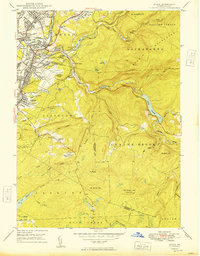 1949 Avoca1949 Print · USGSPost-war Luzerne and Lackawanna counties reveal a landscape of anthracite heritage and rising aviation. Trace family roots at Old Forge Cem, locate the Consolidated Breaker, or explore the rail networks around Hillside Junction.2 unique versions available
 - 1949 Map of Pittston
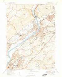 1949 Pittston1949 Print · USGSThe Wyoming Valley industrial corridor is captured here at a post-war peak, showing the heavy rail-and-river network of the coal regions. Researchers can trace historic family landmarks from the Wyoming Monument to the Wyoming Camp Ground and St Joseph Cem.2 unique versions available
 - 1949 Map of Ransom
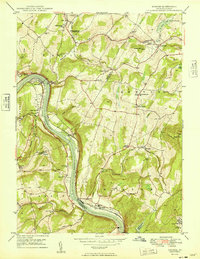 1949 Ransom1949 Print · USGSThe Susquehanna River valley and its surrounding ridges come alive in the late 1940s, showing a landscape defined by rail and river. Genealogists can trace family names through the Newton-Ransom Sch, Post Hill Cem, and the Ransom-Newton State Hospital.
 - 1950 Map of Scranton
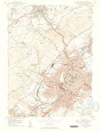 1950 Scranton1950 Print · USGSThe Lackawanna Valley at mid-century shows a bustling industrial landscape defined by coal, rail, and academia. Trace the urban layout of Scranton and Dunmore, finding family sites at Forest Hill Cemetery or landmarks like Marywood College.2 unique versions available
 - 1950 Map of Scranton, 1952 Print
 1950 Scranton1952 Print · USGSMid-century Northeast Pennsylvania and the Hudson Valley come alive in this survey of the tri-state region. Genealogists and historians can trace the dense rail networks of the Erie RR and DL&W RR between industrial hubs like Scranton and Wilkes-Barre.
 - 1953 Map of Scranton
 1953 Scranton1953 Print · USGSNortheastern Pennsylvania and the Catskills are shown in great detail during the early fifties, a time when rail lines and river valleys dictated the region's growth. Genealogists and historians can trace the industrial hearts of Scranton and Wilkes-Barre or locate remote landmarks like High Point and Lake Wallenpaupack.
 - 1959 Map of Scranton
 1959 Scranton1959 Print · USGSThe northern coalfields and the Hudson Valley meet in this mid-century survey of the Pennsylvania and New York borderlands. Genealogists and historians can trace the intricate rail networks of the Erie Railroad and the vast waters of Lake Wallenpaupack.2 unique versions available
 - 1962 Map of Scranton, 1977 Print
 1962 Scranton1977 Print · USGSThe industrial heart of eastern Pennsylvania and the New York Catskills are captured here in the early sixties. Genealogists and historians can trace the dense valley settlements from Scranton to Wilkes-Barre and the rail lines of the Erie Lackawanna Railroad.2 unique versions available
 - 1965 Map of Scranton
 1965 Scranton1965 Print · USGSThe tri-state highlands of Pennsylvania, New York, and New Jersey come alive in the mid-sixties as industry and recreation converge. Trace the intricate rail lines of the Erie Lackawanna RR or locate landmarks like the U S Military Academy.2 unique versions available
 - 1976 Map of Avoca, 1979 Print
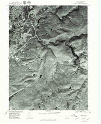 1976 Avoca1979 Print · USGSThe Lackawanna River valley in the mid-1970s shows a landscape of dense river towns and upland clearings. Researchers can trace the residential grids of Old Forge and Avoca or the winding course of Spring Brook.
 - 1976 Map of Pittston, 1979 Print
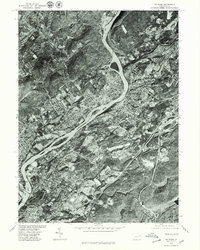 1976 Pittston1979 Print · USGSThe Wyoming Valley comes into sharp focus in the mid-1970s, showcasing the urban density along the Susquehanna River. Trace the industrial footprint of Pittston and Wilkes-Barre or locate family properties in Swoyersville.
 - 1986 Map of Scranton
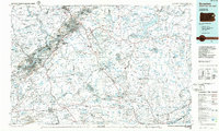 1986 Scranton1986 Print · USGSNortheastern Pennsylvania in the mid-eighties shows an era of transition between its deep-rooted mining history and modern transit growth. Researchers can trace the industrial footprint of a Strip Mine, locate the Tobyhanna Army Depot, or find family sites near St Marys Cem and Wilkes College.2 unique versions available
 - 1994 Map of Ransom, 1995 Print
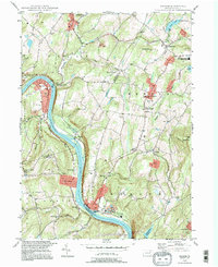 1994 Ransom1995 Print · USGSThe rural river valley near Scranton shows its late-twentieth-century character as the Susquehanna River flows past small hubs like Ransom and West Falls. Genealogists and local historians can trace landmarks like Newton Center Cem, the Exeter Twp Sch, and the winding Sullivan Trail.
 - 1994 Map of Avoca, 1995 Print
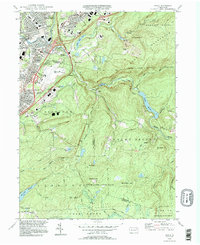 1994 Avoca1995 Print · USGSThe Lackawanna Valley at the end of the twentieth century shows a dense network of coal-country boroughs and major transportation hubs. Genealogists and historians can trace family plots in the Polish National Cem or locate neighborhoods in Old Forge and Avoca.
 - 1994 Map of Pittston, 1995 Print
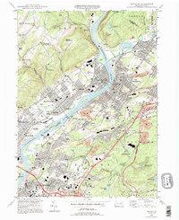 1994 Pittston1995 Print · USGSThe Wyoming Valley at the end of the twentieth century shows a landscape defined by the confluence of the Susquehanna and Lackawanna Rivers. Genealogists and historians can locate legacy sites like Wyoming Seminary, the Wyoming Monument, and numerous family cemeteries.
 - 1994 Map of Scranton, 1996 Print
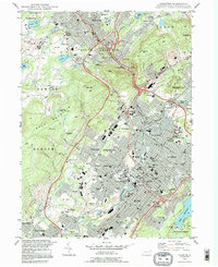 1994 Scranton1996 Print · USGSThe Lackawanna Valley at the end of the twentieth century shows a city shaped by rail and river. Researchers can trace the layout of historic neighborhoods like Providence and find local landmarks such as Steamtown National Historic Site and Forest Hill Cemetery.
Showing maps 1-25 of 47
Frequently asked questions
- What are the different types of historical maps available for Old Forge?
- What is the oldest map of Old Forge?
- Where can I purchase historical maps of Old Forge for my home or office?
- Where can I download high-res historical maps of Old Forge?
- Are there historical topographic maps available for Old Forge?
- Is there historical aerial imagery available for Old Forge?
- Where are historical maps of Old Forge sourced from?