Old Maps of Colerain Township, Pennsylvania
Explore 35 old maps of Colerain Township, spanning from 1912 to today. These high-resolution historic maps reveal how streets, neighborhoods, landmarks, and natural features evolved over time — perfect for genealogy, metal detecting, research, and local history exploration.
What you can do with these maps:
- See how Colerain Township changed over time: Compare historical maps to modern-day views to trace roads, homesites, rail lines & more.
- View detailed metadata: Each map includes creators, publishers, year, scale, and archive source.
- Overlay maps with satellite & LiDAR: Visualize the past alongside modern tools to explore terrain & human change.
- Trusted historical sources: Maps sourced from the USGS, Library of Congress, and other archives.
- Access maps your way: View online, download high-res files, or order prints for personal or research use.
Start exploring old maps of Colerain Township to uncover forgotten places, hidden landmarks, and the deep history beneath your feet.
Colerain Township, PA maps
(35)- 1912 Map of Quarryville
 1912 Quarryville1912 Print · USGSLancaster County's agrarian and industrial character is frozen in time here, shortly after the 1910 survey. Researchers can trace the heavy influence of the rail network through Nickel Mines or locate rural landmarks like Wheatland Mills and Mechanic Grove.6 unique versions available
 - 1943 Map of Quarryville
 1943 Quarryville1943 Print · USGSSouthern Lancaster County is captured in detail during the early forties, showcasing a landscape of tight-knit rural townships and rail-connected villages. Genealogists can trace family footprints across numerous local sites like Nickel Mines, Conners Mill, and North Star School.
 - 1948 Map of Baltimore
 1948 Baltimore1948 Print · USGSMaryland and Pennsylvania crossroads are captured in the late 1940s, showing a landscape defined by historic rail lines and major military installations. Genealogists can trace family connections in Gettysburg, Westminster, and near the U.S. Naval Academy in Annapolis.2 unique versions available
 - 1954 Map of Baltimore
 1954 Baltimore1954 Print · USGSThe Mid-Atlantic region in the early fifties shows a landscape of growing suburban centers and heavy rail corridors. Trace mid-century transit networks and military landmarks from the Aberdeen Proving Ground to the Gettysburg National Military Park.
 - 1955 Map of Wakefield
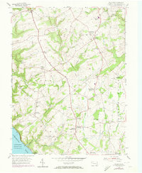 1955 Wakefield1955 Print · USGSSouthern Lancaster County's rural landscape is captured here in the 1950s, showing a region of rolling farmland and river valleys. Genealogists can locate Fulton House, local schools like Brick Hill Sch, and the old Fairfield post office.5 unique versions available
 - 1955 Map of Gap, 1956 Print
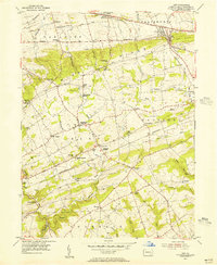 1955 Gap1956 Print · USGSEastern Lancaster County in the mid-fifties shows a landscape of ridge-top mines and valley farms centered on the strategic Gap pass. Genealogists can locate family homes and landmarks like Nickel Mines, Georgetown (Bart PO), and the Octoraro Ch.6 unique versions available
 - 1955 Map of Quarryville, 1956 Print
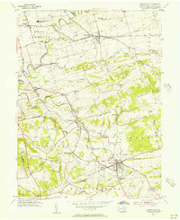 1955 Quarryville1956 Print · USGSMid-century Lancaster County comes to life in this survey of a landscape defined by rolling farmsteads and rail corridors. Genealogists and local historians can locate many district schools like Sandstone Sch, the Strasburg RR, and landmarks like the Quarryville Presbyterian Home.4 unique versions available
 - 1955 Map of Kirkwood, 1957 Print
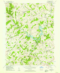 1955 Kirkwood1957 Print · USGSThe Lancaster and Chester County line comes alive in the mid-fifties, dominated by the waters of Octoraro Lake and the rural townships surrounding it. Researchers can trace ancestral locations at Colerain Cem Ch, Little Britain, and the Township Central Sch.4 unique versions available
 - 1956 Map of Baltimore
 1956 Baltimore1956 Print · USGSMid-century Maryland and Pennsylvania are captured here during a period of massive suburban and military growth across the Chesapeake region. Genealogists and historians can trace the rail corridors of the Baltimore & Ohio RR and locate landmarks like Fort McHenry or the Aberdeen Proving Ground.
 - 1957 Map of Baltimore, 1964 Print
 1957 Baltimore1964 Print · USGSMaryland and Southern Pennsylvania are shown during the mid-century expansion of the Baltimore-Washington corridor. Researchers can trace the extensive rail lines of the Baltimore & Ohio RR and locate sites like Fort Detrick and Gettysburg National Military Park.5 unique versions available
 - 1961 Map of Baltimore
 1961 Baltimore1961 Print · USGSMaryland and Pennsylvania are captured at a mid-century peak of industrial and military expansion. Genealogists and historians can trace rail corridors like the Western Maryland Ry or locate regional landmarks such as Camp Detrick and Kent Island.
 - 1983 Map of York, 1984 Print
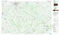 1983 York1984 Print · USGSSouth Central Pennsylvania and Northern Maryland meet along the Susquehanna during the early eighties. Genealogists and local historians can trace the transit networks of Conrail and Amtrak through towns like Red Lion and Seven Valleys.2 unique versions available
 - 1989 Map of Baltimore
 1989 Baltimore1989 Print · USGSThe Mid-Atlantic corridor in the late eighties is captured here, from the Baltimore harbor to the Blue Ridge foothills. Researchers can trace the sprawling footprints of Aberdeen Proving Ground, the historic grounds of Gettysburg National Military Park, and the winding Susquehanna River.
 - 1992 Map of Quarryville, 1994 Print
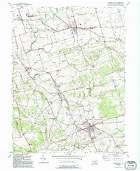 1992 Quarryville1994 Print · USGSCentral Lancaster County thrives as an agricultural and rail corridor during the late twentieth century. Genealogists can trace family roots through landmarks like Zion Ch and Ashland Sch, while the Strasburg RR remains a focal point of the local landscape.
 - 1999 Map of Wakefield, 2001 Print
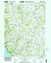 1999 Wakefield2001 Print · USGSThe southern Lancaster County countryside is captured here at the end of the twentieth century. Genealogists and historians can trace the region's deep roots through landmarks like the Fulton House, the Little Britain Ch, and old crossroads like Unicorn.
 - 2010 Map of Quarryville, 2010 Print
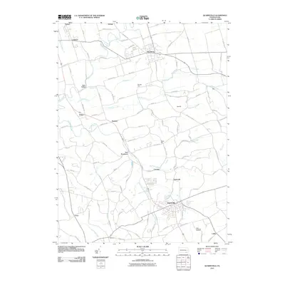 2010 Quarryville2010 Print · USGSIn the heart of Lancaster County during the early 21st century, this area shows a dense network of rural hamlets and historic roads. Researchers can trace family sites near Saint Catherines Cemetery or explore the settlement patterns around Quarryville, Strasburg, and Refton.
 - 2010 Map of Wakefield, 2010 Print
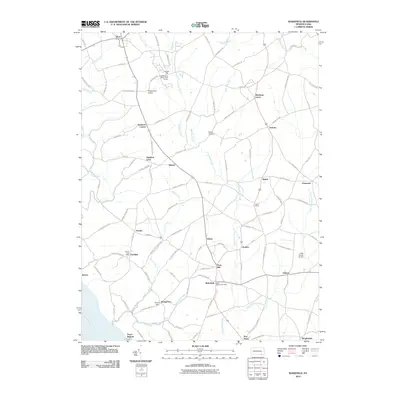 2010 Wakefield2010 Print · USGSSouthern Lancaster County is shown in detail during the early 21st century as a landscape of historic crossroads and rural airfields. Researchers can trace the legacy of family names and early commerce at Hopkins Mill, Chestnut Level, and the Fulton House.
 - 2010 Map of Gap, 2010 Print
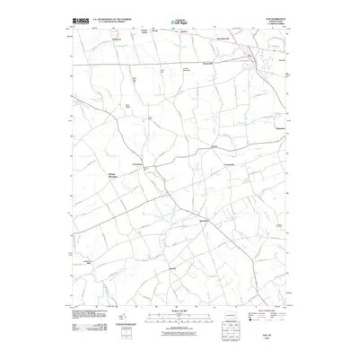 2010 Gap2010 Print · USGSLancaster County at the start of the twenty-first century reveals a landscape shaped by early industry and rural post offices. Researchers can trace the legacy of local extraction at Nickel Mines or find family landmarks like Conners Mill and Wateland Cemetery.
 - 2010 Map of Kirkwood, 2010 Print
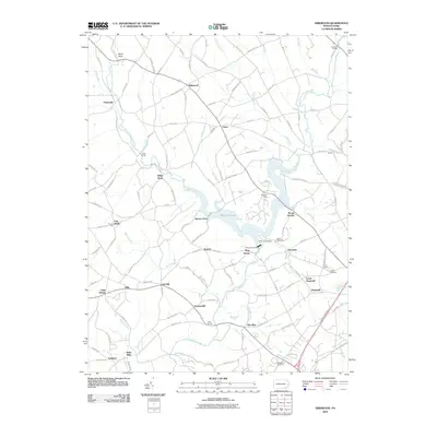 2010 Kirkwood2010 Print · USGSSouthern Lancaster County in the early twenty-first century is a patchwork of small crossroad hamlets and winding creeks. Genealogists and local historians can trace family-named sites like Kirks Mills, Kings Bridge, and the shores of Octoraro Lake.
 - 2013 Map of Quarryville, 2013 Print
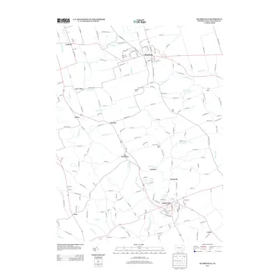 2013 Quarryville2013 Print · USGSLancaster County’s agricultural heartland is documented here in the early twenty-first century. Researchers can trace family-named routes like Herr Rd and explore the layouts of settlements like Quarryville, Strasburg, and the smaller hamlet of Truce.
 - 2013 Map of Wakefield, 2013 Print
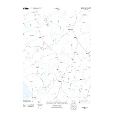 2013 Wakefield2013 Print · USGSSouthern Lancaster County is captured here in the early twenty-first century, showing a landscape of traditional rural crossroads and winding creek valleys. Researchers can trace local heritage through landmarks like Hopkins Mill, Fulton House, and the settlement at Wakefield.
 - 2013 Map of Kirkwood, 2013 Print
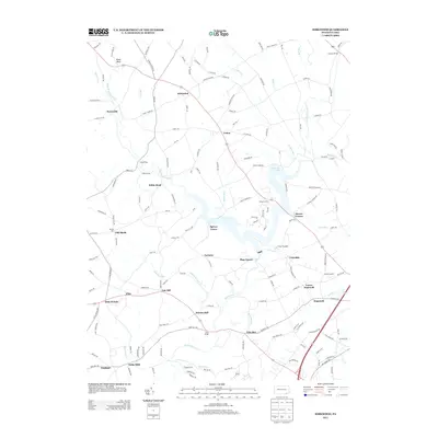 2013 Kirkwood2013 Print · USGSThe rural landscape of Lancaster County comes alive in this 2013 survey of its small settlements and winding waterways. Researchers can trace historic local centers like Kirks Mills, Little Britain, and the sprawling reaches of Octoraro Lake.
 - 2013 Map of Gap, 2013 Print
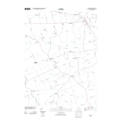 2013 Gap2013 Print · USGSLancaster County's rural crossroads and mining heritage are preserved in this detailed study from 2013. Genealogists and local historians can trace family-named landmarks and old hamlets like Nickel Mines, Conners Mill, and Slaymakersville.
 - 2016 Map of Kirkwood, 2016 Print
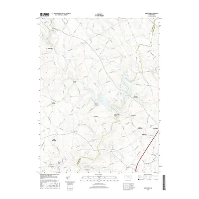 2016 Kirkwood2016 Print · USGSSoutheastern Pennsylvania's rolling borderlands appear in great detail during the mid-2010s, centered on the waters of Octoraro Lake. Family historians can trace local roots through settlements like Little Britain, Kirks Mills, and Nottingham Cem.
 - 2016 Map of Wakefield, 2016 Print
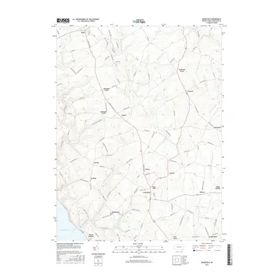 2016 Wakefield2016 Print · USGSSouthern Lancaster County is captured here in the mid-2010s, showing a dense network of traditional crossroads settlements and stream valleys. Genealogists and local historians can trace the footprint of Wakefield, find the riverside at Peach Bottom, and locate smaller hamlets like Unicorn and Chestnut Level.
Showing maps 1-25 of 35
Top cities near Colerain Township
- Lancaster historical maps
- Elkton historical maps
- West Lampeter Township historical maps
- Willow Street historical maps
- East Earl Township historical maps
- New London Township historical maps
See more
Top neighborhoods of Colerain Township
Frequently asked questions
- What are the different types of historical maps available for Colerain Township?
- What is the oldest map of Colerain Township?
- Where can I purchase historical maps of Colerain Township for my home or office?
- Where can I download high-res historical maps of Colerain Township?
- Are there historical topographic maps available for Colerain Township?
- Is there historical aerial imagery available for Colerain Township?
- Where are historical maps of Colerain Township sourced from?