2020s Maps of East Hempfield Township, Pennsylvania
Explore 4 historic maps of East Hempfield Township from the 2020s. These maps offer a rare glimpse into what life looked like during the 2020s — showing old roads, neighborhoods, homes, and landmarks that have changed or disappeared over time.
Whether you're researching your family's past, planning a metal detecting trip, or studying how East Hempfield Township's landscape evolved across the 2020s, these high-resolution maps are a powerful tool for exploring the history of this region.
- Focus on a specific era: All maps on this page are from the 2020s, giving you a focused view of this time period.
- See what’s changed: Compare century-old streets, trails, and buildings to today's modern landscape using overlays and satellite layers.
- Research with precision: Use these maps for genealogy, historical research, land use analysis, or educational projects.
- View, download, or print: Maps are fully viewable online in high resolution, and can be downloaded or printed for your own records.
Start exploring East Hempfield Township's history through authentic maps from the 2020s. This is your window into the past.
East Hempfield Township, PA maps
(4)- 2023 Map of Lancaster, 2023 Print
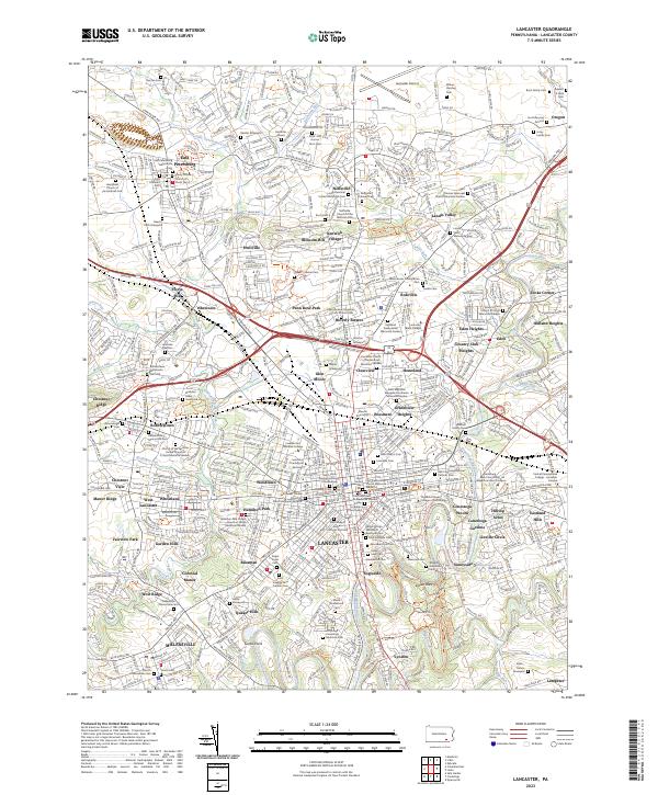 2023 Lancaster2023 Print · USGSLancaster and its surrounding townships appear here in great detail, showing the modern suburban expansion atop a colonial-era foundation. Researchers can trace ancestral lines through dozens of family plots and churchyards, including the Kurtz Burying Ground and Saint Mary's Cem.
 - 2023 Map of Manheim, 2023 Print
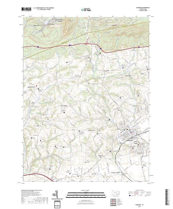 2023 Manheim2023 Print · USGSManheim and the surrounding Lancaster County countryside are shown here in the early twenty-first century, featuring a dense network of crossroads and family burial sites. Genealogists can locate family-named landmarks like the Abraham Gibbel Family Cem and Hanley-Longenecker Graveyard.
 - 2023 Map of Columbia East, 2023 Print
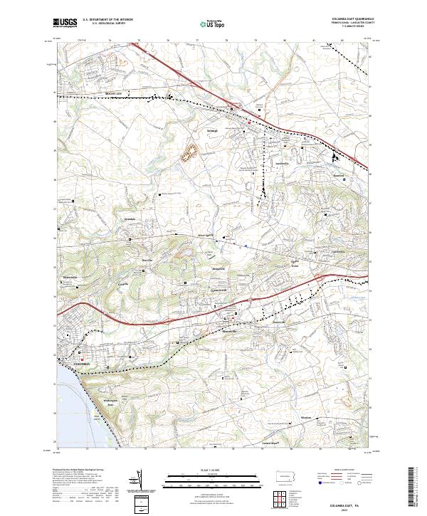 2023 Columbia East2023 Print · USGSThe heart of Pennsylvania Dutch country is documented here in the early twenty-first century, spanning from the river at Columbia to the northern borough of Mount Joy. Researchers can pinpoint family-named landmarks and quiet burial grounds such as the Musselman Minich Cem and Habecker Mennonite Cem.
 - 2023 Map of Lititz, 2023 Print
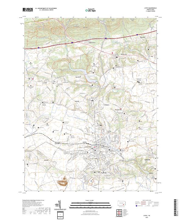 2023 Lititz2023 Print · USGSThe northern Lancaster County heartland appears here in the early twenty-first century, showcasing its unique Moravian and Mennonite roots. Genealogists can trace family names through dozens of burial sites like Steinmetz Cem or the Hess Family Cem.
End of results
Showing maps 1-4 of 4
Top cities near East Hempfield Township
- Lancaster historical maps
- West Lampeter Township historical maps
- Hershey historical maps
- Ephrata historical maps
- Elizabethtown historical maps
- Columbia historical maps
See more
Top neighborhoods of East Hempfield Township
- Centerville historical maps
- Bamford historical maps
- Landisville historical maps
- Rohrerstown historical maps
- Chestnut Ridge historical maps
- Chestnut View historical maps
See more
Frequently asked questions
- What are the different types of historical maps available for East Hempfield Township?
- What is the oldest map of East Hempfield Township?
- Where can I purchase historical maps of East Hempfield Township for my home or office?
- Where can I download high-res historical maps of East Hempfield Township?
- Are there historical topographic maps available for East Hempfield Township?
- Is there historical aerial imagery available for East Hempfield Township?
- Where are historical maps of East Hempfield Township sourced from?