Old Maps of Little Beaver Township, Pennsylvania
Explore 35 old maps of Little Beaver Township, spanning from 1902 to today. These high-resolution historic maps reveal how streets, neighborhoods, landmarks, and natural features evolved over time — perfect for genealogy, metal detecting, research, and local history exploration.
What you can do with these maps:
- See how Little Beaver Township changed over time: Compare historical maps to modern-day views to trace roads, homesites, rail lines & more.
- View detailed metadata: Each map includes creators, publishers, year, scale, and archive source.
- Overlay maps with satellite & LiDAR: Visualize the past alongside modern tools to explore terrain & human change.
- Trusted historical sources: Maps sourced from the USGS, Library of Congress, and other archives.
- Access maps your way: View online, download high-res files, or order prints for personal or research use.
Start exploring old maps of Little Beaver Township to uncover forgotten places, hidden landmarks, and the deep history beneath your feet.
Little Beaver Township, PA maps
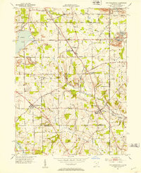
(35)- 1902 Map of New Castle, 1956 Print
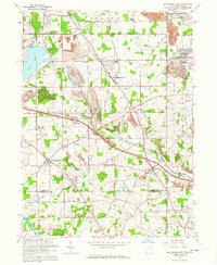
 1902 New Castle1956 Print · USGSLawrence and Beaver counties were industrial powerhouses at the turn of the century, defined by a massive intersection of river and rail. Researchers can trace the complex rail networks of the Pennsylvania RR and find historic hubs like New Castle, Ellwood City, and New Galilee.
 - 1904 Map of Newcastle
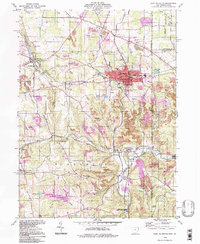
 1904 Newcastle1904 Print · USGSLawrence and Beaver Counties are captured at a peak of industrial expansion during the early 1900s, when the river valleys were heavy with rail traffic. Genealogists and historians can trace the early footprints of Newcastle, the remote Thompson Run Mines, and the vanished Irish Ripple Newport PO.6 unique versions available
 - 1907 Map of Columbiana, 1958 Print
 1907 Columbiana1958 Print · USGSColumbiana County at the turn of the century was a bustling corridor of coal, rail, and community life. Genealogists can trace family names at Subrosa School and Mt Zion Church, or locate defunct stops on the Pennsylvania System.
 - 1909 Map of Columbiana, 1937 Print
 1909 Columbiana1937 Print · USGSThe Ohio-Pennsylvania borderlands are captured here during the peak of the rail era, showing a landscape defined by industry and rural education. Researchers can trace the path of the Pennsylvania System through East Palestine or locate local landmarks like Coalmines and the Subrosa School.2 unique versions available
 - 1951 Map of Canton
 1951 Canton1951 Print · USGSThe industrial heartland of Ohio and Pennsylvania reached its mid-century peak during this era of heavy rail and river transit. Genealogists and historians can trace the development of steel towns like Aliquippa and Weirton alongside the Ohio River and major lines of the Pennsylvania RR.
 - 1951 Map of New Middletown, 1953 Print
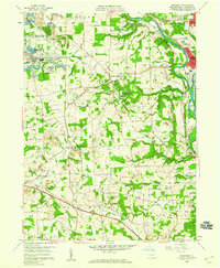
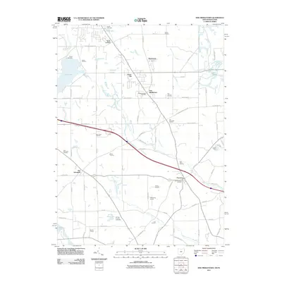
 1951 New Middletown1953 Print · USGSEastern Ohio at the dawn of the fifties shows a rural landscape adapting to new interstate travel. Researchers can trace ancestral locations at Bethel Cem, Springfield High Sch, and the emerging corridor of the Ohio Turnpike.
 - 1953 Map of Canton
 1953 Canton1953 Print · USGSThe industrial heartland of Ohio and Pennsylvania is captured at its mid-century peak in this detailed regional survey. Genealogists and historians can trace the vast rail networks of the Pennsylvania RR and find local landmarks like Nimisila Reservoir and Tappan Reservoir.
 - 1957 Map of New Galilee, 1959 Print
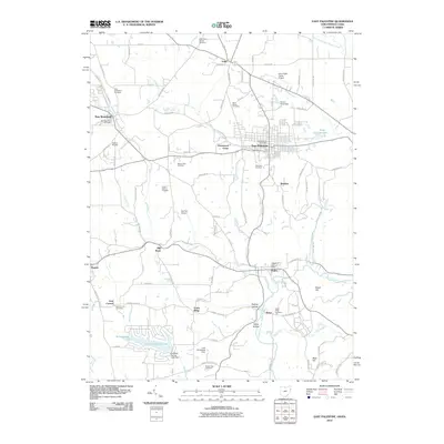
 1957 New Galilee1959 Print · USGSWestern Pennsylvania's industrial corridor comes alive in the late 1950s near the Ohio border. Trace the rail lines of the Pennsylvania Railroad and find local landmarks like Beaver County Airport and White Ch.5 unique versions available
 - 1957 Map of Canton, 1971 Print
 1957 Canton1971 Print · USGSThe industrial heartland of eastern Ohio and western Pennsylvania comes alive in this mid-century survey of the Ohio River Valley. Trace the heritage of rail and river commerce through Pittsburgh, the massive steel towns along the Ohio River, and major junctions on the Pennsylvania RR.3 unique versions available
 - 1958 Map of Bessemer, 1959 Print
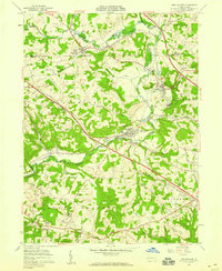
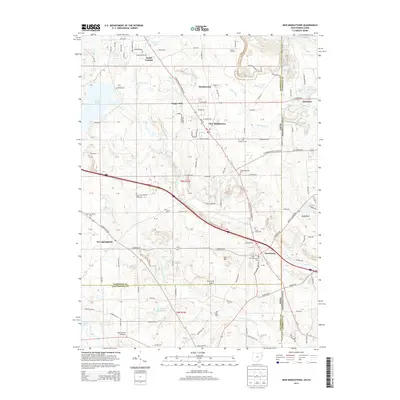
 1958 Bessemer1959 Print · USGSWestern Lawrence County in the late fifties shows a landscape shaped by coal, quarrying, and heavy rail. Genealogists can trace family names and local burials at Madonna Cem or Mount Jackson Cem while following the Pennsylvania RR corridor.4 unique versions available
 - 1960 Map of East Palestine, 1962 Print
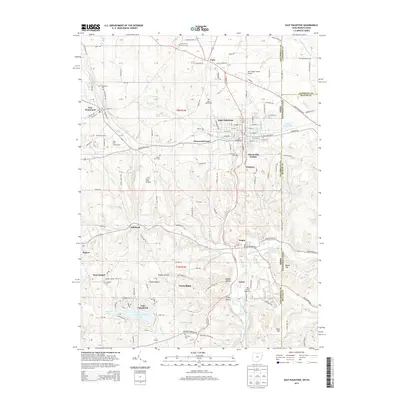
 1960 East Palestine1962 Print · USGSColumbiana County was a hub of rail activity and coal extraction during the 1960s, centered on the growing town of East Palestine. Genealogists and historians can trace old family sites like Mason Rich Cem, rural schools including Captain Taggart Sch, and the many Strip Mines that shaped the local economy.4 unique versions available
 - 1962 Map of Canton
 1962 Canton1962 Print · USGSThe industrial heartland of Eastern Ohio and Western Pennsylvania thrives in the early sixties as steel mills and rail lines dominate the river valleys. Genealogists and historians can trace local landmarks like McKinley National Memorial, Malone College, and industrial sites such as Republic Steel Corp.2 unique versions available
 - 1963 Map of New Middletown, 1964 Print
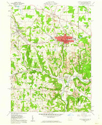
 1963 New Middletown1964 Print · USGSThe Mahoning County borderlands come into focus in the early sixties as major turnpikes began to reshape the rural landscape. Researchers can find family-named landmarks and essential community sites like Zion Cem, Bethel Ch, and Springfield Township High Sch.3 unique versions available
 - 1986 Map of East Liverpool
 1986 East Liverpool1986 Print · USGSThe tri-state border region in the 1980s reveals a landscape shaped by the Ohio River and a massive rail network. Researchers can trace the industrial footprint of East Liverpool and Midland or locate inland landmarks like Pine Lake and Strip Mines.2 unique versions available
 - 1994 Map of East Palestine, 1997 Print
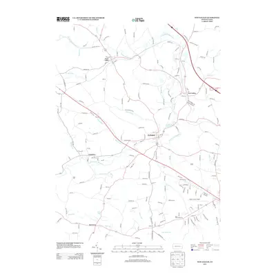
 1994 East Palestine1997 Print · USGSThe Ohio-Pennsylvania borderlands near the end of the century reveal a landscape of heavy industry and quiet rural settlements. Researchers can trace the legacy of resource extraction through extensive Strip Mines while locating family roots at St Marys Cem and Mason Rich Cem.
 - 2010 Map of New Galilee, 2010 Print
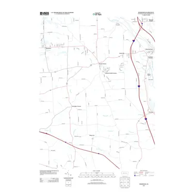
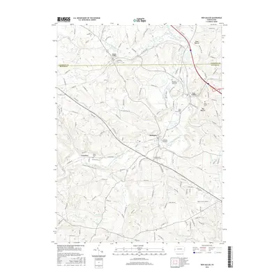
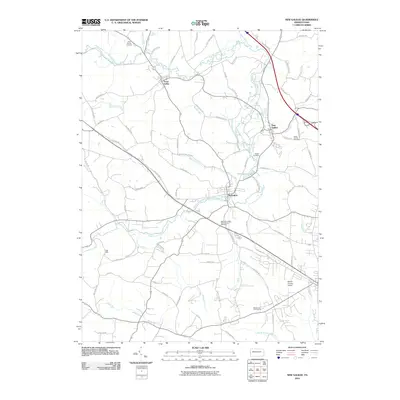 2010 New Galilee2010 Print · USGSCovers Little Beaver Township, including New Galilee, Enon Valley, and other nearby areas
 - 2010 Map of Bessemer, 2010 Print
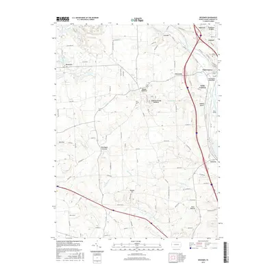
 2010 Bessemer2010 Print · USGSCovers Little Beaver Township, including New Castle, Bessemer, and other nearby areas
 - 2010 Map of East Palestine, 2010 Print
 2010 East Palestine2010 Print · USGSCovers Little Beaver Township, including Unity, East Palestine, and other nearby areas
 - 2011 Map of New Middletown, 2011 Print
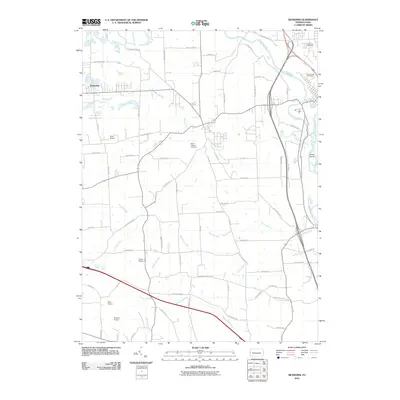
 2011 New Middletown2011 Print · USGSCovers Little Beaver Township, including Columbiana, New Middletown, and other nearby areas
 - 2013 Map of Bessemer, 2013 Print
 2013 Bessemer2013 Print · USGSCovers Little Beaver Township, including New Castle, Bessemer, and other nearby areas
 - 2013 Map of New Galilee, 2013 Print
 2013 New Galilee2013 Print · USGSCovers Little Beaver Township, including New Galilee, Enon Valley, and other nearby areas
 - 2013 Map of New Middletown, 2013 Print
 2013 New Middletown2013 Print · USGSCovers Little Beaver Township, including Columbiana, New Middletown, and other nearby areas
 - 2013 Map of East Palestine, 2013 Print
 2013 East Palestine2013 Print · USGSCovers Little Beaver Township, including Unity, East Palestine, and other nearby areas
 - 2016 Map of Bessemer, 2016 Print
 2016 Bessemer2016 Print · USGSCovers Little Beaver Township, including New Castle, Bessemer, and other nearby areas
 - 2016 Map of New Galilee, 2016 Print
 2016 New Galilee2016 Print · USGSCovers Little Beaver Township, including New Galilee, Enon Valley, and other nearby areas
Showing maps 1-25 of 35
Top cities near Little Beaver Township
- Youngstown historical maps
- Boardman historical maps
- New Castle historical maps
- East Liverpool historical maps
- Center Township historical maps
- Unity historical maps
See more
Top neighborhoods of Little Beaver Township
Frequently asked questions
- What are the different types of historical maps available for Little Beaver Township?
- What is the oldest map of Little Beaver Township?
- Where can I purchase historical maps of Little Beaver Township for my home or office?
- Where can I download high-res historical maps of Little Beaver Township?
- Are there historical topographic maps available for Little Beaver Township?
- Is there historical aerial imagery available for Little Beaver Township?
- Where are historical maps of Little Beaver Township sourced from?