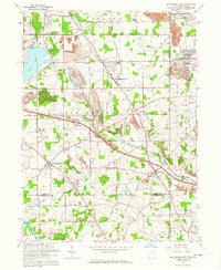
1963 Map of New Middletown
USGS Topo · Published 1964About this map
New Middletown and its surrounding townships define this eastern Ohio landscape during a period of industrial and infrastructure expansion in the early 1960s. The Ohio Turnpike and Pennsylvania Toll Turnpike cut diagonally across the terrain, illustrating the era's focus on interstate connectivity near the state border. This development contrasts with the established rural character of the area, where clusters of local history are preserved in names like Ginger Hill, Smith Corners, and the Springfield Township High Sch.
Find a feature on this map
41 named features on this map. Tap any name to fly to it.
Don’t see what you’re looking for? This feature index may not catch every label — zoom into the map to look around manually.
Map Details
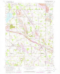
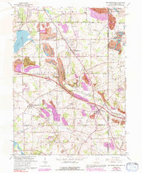
Editions of this 1963 New Middletown Map
Other maps of this area

1902 · New Castle
USGS Topo · 1:62,500

1904 · Newcastle
USGS Topo · 1:62,500

1905 · Neshannock
USGS Topo · 1:62,500

1906 · Youngstown
USGS Topo · 1:62,500

1907 · Neshannock
USGS Topo · 1:62,500

1907 · Columbiana
USGS Topo · 1:62,500

1908 · Youngstown
USGS Topo · 1:62,500

1909 · Columbiana
USGS Topo · 1:62,500

1950 · Cleveland
USGS Topo · 1:250,000

1951 · Canton
USGS Topo · 1:250,000