Old Maps of New Beaver, Pennsylvania for Academic Research
Study the evolution of New Beaver with 31 high-resolution historic maps. Whether you're teaching, researching, or modeling changes in land use, these maps provide essential visual documentation of urban, environmental, and geographic change.
- Analyze long-term change: Track patterns in development, transportation, and natural features.
- Ideal for environmental or urban studies: Support academic projects with primary historical map data.
- Use in the classroom or lab: Educators and researchers rely on these maps to bring historical context to life.
These maps are a powerful tool for teaching, research, and visualizing how New Beaver has changed over the decades.
New Beaver, PA maps
(31)- 1902 Map of New Castle, 1956 Print
 1902 New Castle1956 Print · USGSLawrence and Beaver counties were industrial powerhouses at the turn of the century, defined by a massive intersection of river and rail. Researchers can trace the complex rail networks of the Pennsylvania RR and find historic hubs like New Castle, Ellwood City, and New Galilee.
 - 1904 Map of Newcastle
 1904 Newcastle1904 Print · USGSLawrence and Beaver Counties are captured at a peak of industrial expansion during the early 1900s, when the river valleys were heavy with rail traffic. Genealogists and historians can trace the early footprints of Newcastle, the remote Thompson Run Mines, and the vanished Irish Ripple Newport PO.6 unique versions available
 - 1951 Map of Canton
 1951 Canton1951 Print · USGSThe industrial heartland of Ohio and Pennsylvania reached its mid-century peak during this era of heavy rail and river transit. Genealogists and historians can trace the development of steel towns like Aliquippa and Weirton alongside the Ohio River and major lines of the Pennsylvania RR.
 - 1953 Map of Canton
 1953 Canton1953 Print · USGSThe industrial heartland of Ohio and Pennsylvania is captured at its mid-century peak in this detailed regional survey. Genealogists and historians can trace the vast rail networks of the Pennsylvania RR and find local landmarks like Nimisila Reservoir and Tappan Reservoir.
 - 1957 Map of Beaver Falls, 1958 Print
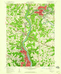 1957 Beaver Falls1958 Print · USGSBeaver County and Lawrence County industry thrives along the riverbanks in the late fifties as suburban growth meets active coal country. Researchers can trace the sprawling campus of Geneva College and find family plots at Providence Cem or St Agatha Cem.8 unique versions available
 - 1957 Map of New Galilee, 1959 Print
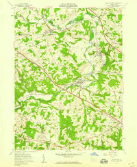 1957 New Galilee1959 Print · USGSWestern Pennsylvania's industrial corridor comes alive in the late 1950s near the Ohio border. Trace the rail lines of the Pennsylvania Railroad and find local landmarks like Beaver County Airport and White Ch.5 unique versions available
 - 1957 Map of Canton, 1971 Print
 1957 Canton1971 Print · USGSThe industrial heartland of eastern Ohio and western Pennsylvania comes alive in this mid-century survey of the Ohio River Valley. Trace the heritage of rail and river commerce through Pittsburgh, the massive steel towns along the Ohio River, and major junctions on the Pennsylvania RR.3 unique versions available
 - 1958 Map of Bessemer, 1959 Print
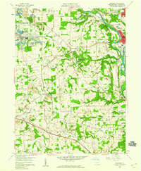 1958 Bessemer1959 Print · USGSWestern Lawrence County in the late fifties shows a landscape shaped by coal, quarrying, and heavy rail. Genealogists can trace family names and local burials at Madonna Cem or Mount Jackson Cem while following the Pennsylvania RR corridor.4 unique versions available
 - 1958 Map of New Castle South, 1960 Print
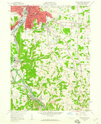 1958 New Castle South1960 Print · USGSLawrence County industrial life is captured here in the late fifties, showcasing the complex rail networks and mining operations south of New Castle. Researchers can trace family roots through numerous parish sites and rural schools like St Nicholas Cem, Greenwood Ch, and Rural Hill Sch.4 unique versions available
 - 1962 Map of Canton
 1962 Canton1962 Print · USGSThe industrial heartland of Eastern Ohio and Western Pennsylvania thrives in the early sixties as steel mills and rail lines dominate the river valleys. Genealogists and historians can trace local landmarks like McKinley National Memorial, Malone College, and industrial sites such as Republic Steel Corp.2 unique versions available
 - 1986 Map of East Liverpool
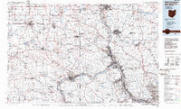 1986 East Liverpool1986 Print · USGSThe tri-state border region in the 1980s reveals a landscape shaped by the Ohio River and a massive rail network. Researchers can trace the industrial footprint of East Liverpool and Midland or locate inland landmarks like Pine Lake and Strip Mines.2 unique versions available
 - 2010 Map of New Castle South, 2010 Print
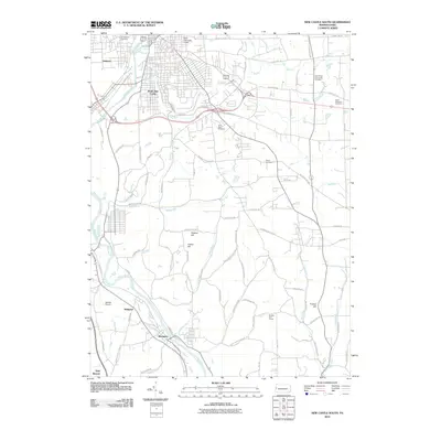 2010 New Castle South2010 Print · USGSThe industrial river valleys of Lawrence County come into focus in the early 2000s as the Shenango River and Beaver River guide local settlement. Researchers can trace family roots at Saint Vitus Cemetery or explore the corridor between South New Castle and Wampum.
 - 2010 Map of New Galilee, 2010 Print
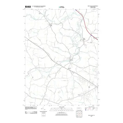 2010 New Galilee2010 Print · USGSBeaver County at the turn of the decade shows a blend of historic boroughs and modern aviation infrastructure. Genealogists and local historians can trace family sites at Little Beaver Cemetery or explore the settlements of Enon Valley and Darlington.
 - 2010 Map of Bessemer, 2010 Print
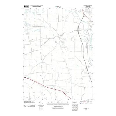 2010 Bessemer2010 Print · USGSLawrence County, Pennsylvania, is captured here in the early 21st century, showing a landscape of rural airfields and river valleys. Genealogists can locate Madonna Cemetery or trace aviation history at Gwin Airport and Evans Airport.
 - 2010 Map of Beaver Falls, 2010 Print
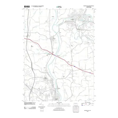 2010 Beaver Falls2010 Print · USGSBeaver County at the turn of the 21st century remains defined by the industrial legacy of the Beaver River valley and its surrounding ridge lines. Researchers can trace family history through sites like Saint Marys Cemetery or locate old industrial works at the Thompson Run Mines.
 - 2013 Map of Bessemer, 2013 Print
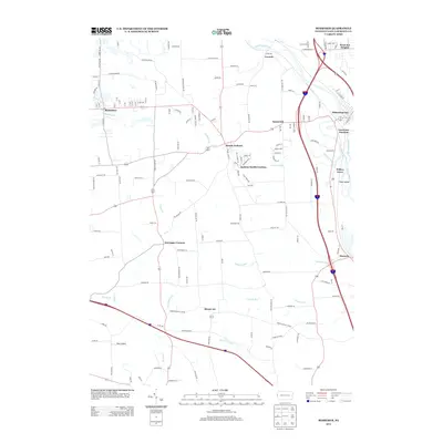 2013 Bessemer2013 Print · USGSLawrence County’s river valleys and upland settlements are captured here in the early twenty-first century. Researchers can trace the confluence of the Shenango River and Mahoning River or locate family roots in Bessemer, Mount Air, and Moravia.
 - 2013 Map of New Castle South, 2013 Print
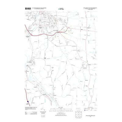 2013 New Castle South2013 Print · USGSThe industrial corridor south of New Castle is shown here in the early 21st century as it follows the rivers and rail lines. You can trace the development of riverside towns like Wampum, Chewton, and West Pittsburg or find landmarks like Jackson Airport.
 - 2013 Map of Beaver Falls, 2013 Print
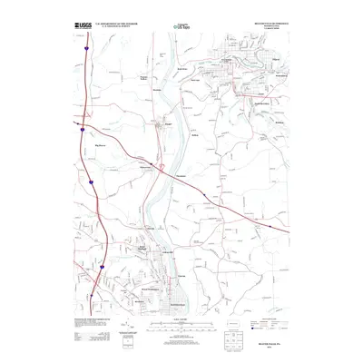 2013 Beaver Falls2013 Print · USGSBeaver County and the Beaver River valley are shown here in the early twenty-first century, capturing a landscape of industrial river towns and sprawling hills. Genealogists and local historians can trace family locations through College Hill, Ellwood City, and the historic streets of Beaver Falls.
 - 2013 Map of New Galilee, 2013 Print
 2013 New Galilee2013 Print · USGSBeaver County settlements like Enon Valley and Darlington are captured here in the early twenty-first century as they sit along the historic North Fork. Researchers can trace local names and infrastructure ranging from Walt Mills and Cannelton to the Beaver County Airport.
 - 2016 Map of Beaver Falls, 2016 Print
 2016 Beaver Falls2016 Print · USGSThe industrial corridor of the Beaver Valley comes into sharp focus during the mid-2010s, showing the intersection of river transport and town growth. Genealogists and local historians can trace legacy sites from the campus of Geneva Coll to numerous burial grounds like Agudath Achim Cem and Homewood Cem.
 - 2016 Map of Bessemer, 2016 Print
 2016 Bessemer2016 Print · USGSLawrence County at the turn of the century reveals a complex hub of river confluences and rail infrastructure south of New Castle. Researchers can trace historic cemeteries like Mount Jackson Cem and industrial-era settlements from Mahoningtown to Bessemer.
 - 2016 Map of New Galilee, 2016 Print
 2016 New Galilee2016 Print · USGSThe Pennsylvania and Ohio borderlands come alive in this detailed view of Beaver County in the twenty-first century. Genealogists and historians can trace family roots through numerous burial sites like White Family Cemetery or explore the corridor of the North Fork Little Beaver Creek.
 - 2016 Map of New Castle South, 2016 Print
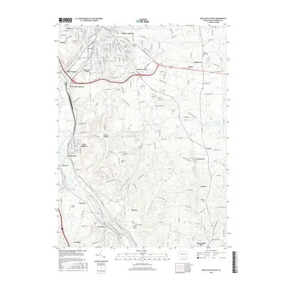 2016 New Castle South2016 Print · USGSLawrence County's industrial and river-valley corridor is captured here in the mid-2010s, showing the dense settlement patterns south of New Castle. Researchers can trace historical railroad hubs at New Castle Junction or locate family roots at Saint Vitus Cem and Greenwood Cem.
 - 2019 Map of New Galilee, 2019 Print
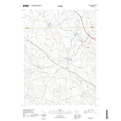 2019 New Galilee2019 Print · USGSWestern Pennsylvania in the late 2010s reveals a landscape of historic boroughs and rural crossings along the Lawrence and Beaver county line. Genealogists can locate family landmarks like the White Family Cem, Wilson / Mount Pleasant Cem, and old church sites in Enon Valley.
 - 2019 Map of Beaver Falls, 2019 Print
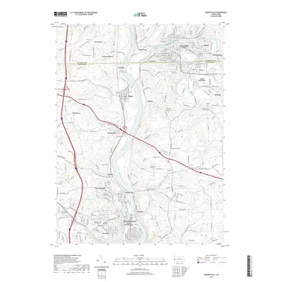 2019 Beaver Falls2019 Print · USGSThe industrial heart of Beaver County is captured here in the late 2010s, centered on the river convergence of Beaver Falls and Ellwood City. Genealogists can trace family sites at Geneva College or several local burials like Locust Grove Cem and Agudath Achim Cem.
Showing maps 1-25 of 31
Frequently asked questions
- What are the different types of historical maps available for New Beaver?
- What is the oldest map of New Beaver?
- Where can I purchase historical maps of New Beaver for my home or office?
- Where can I download high-res historical maps of New Beaver?
- Are there historical topographic maps available for New Beaver?
- Is there historical aerial imagery available for New Beaver?
- Where are historical maps of New Beaver sourced from?