2000s (21st Century) Maps of Lower Milford, Pennsylvania
Explore 11 historic maps of Lower Milford from the 2000s (21st Century). These maps offer a rare glimpse into what life looked like during the 2000s — showing old roads, neighborhoods, homes, and landmarks that have changed or disappeared over time.
Whether you're researching your family's past, planning a metal detecting trip, or studying how Lower Milford's landscape evolved across the 2000s, these high-resolution maps are a powerful tool for exploring the history of this region.
- Focus on a specific era: All maps on this page are from the 2000s, giving you a focused view of this time period.
- See what’s changed: Compare century-old streets, trails, and buildings to today's modern landscape using overlays and satellite layers.
- Research with precision: Use these maps for genealogy, historical research, land use analysis, or educational projects.
- View, download, or print: Maps are fully viewable online in high resolution, and can be downloaded or printed for your own records.
Start exploring Lower Milford's history through authentic maps from the 2000s. This is your window into the past.
Lower Milford, PA maps
(11)- 2010 Map of East Greenville, 2010 Print
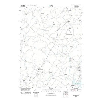 2010 East Greenville2010 Print · USGSCovers Lower Milford, including Longswamp Township, East Greenville, and other nearby areas
 - 2010 Map of Milford Square, 2010 Print
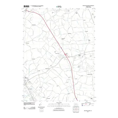 2010 Milford Square2010 Print · USGSCovers Lower Milford, including Pennsburg, Red Hill, and other nearby areas
 - 2013 Map of East Greenville, 2013 Print
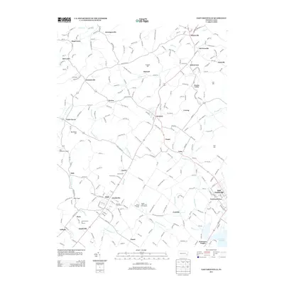 2013 East Greenville2013 Print · USGSCovers Lower Milford, including Longswamp Township, East Greenville, and other nearby areas
 - 2013 Map of Milford Square, 2013 Print
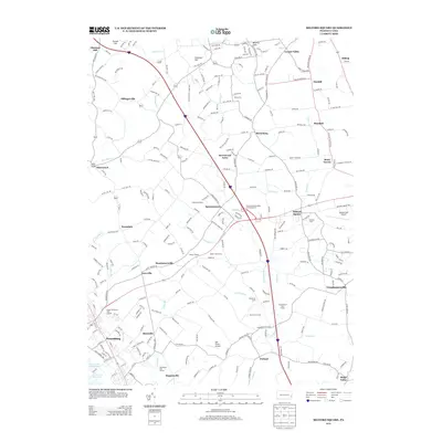 2013 Milford Square2013 Print · USGSCovers Lower Milford, including Pennsburg, Red Hill, and other nearby areas
 - 2016 Map of East Greenville, 2016 Print
 2016 East Greenville2016 Print · USGSCovers Lower Milford, including Longswamp Township, East Greenville, and other nearby areas
 - 2016 Map of Milford Square, 2016 Print
 2016 Milford Square2016 Print · USGSCovers Lower Milford, including Pennsburg, Red Hill, and other nearby areas
 - 2019 Map of East Greenville, 2019 Print
 2019 East Greenville2019 Print · USGSCovers Lower Milford, including Longswamp Township, East Greenville, and other nearby areas
 - 2019 Map of Milford Square, 2019 Print
 2019 Milford Square2019 Print · USGSCovers Lower Milford, including Pennsburg, Red Hill, and other nearby areas
 - 2023 Map of Milford Square, 2023 Print
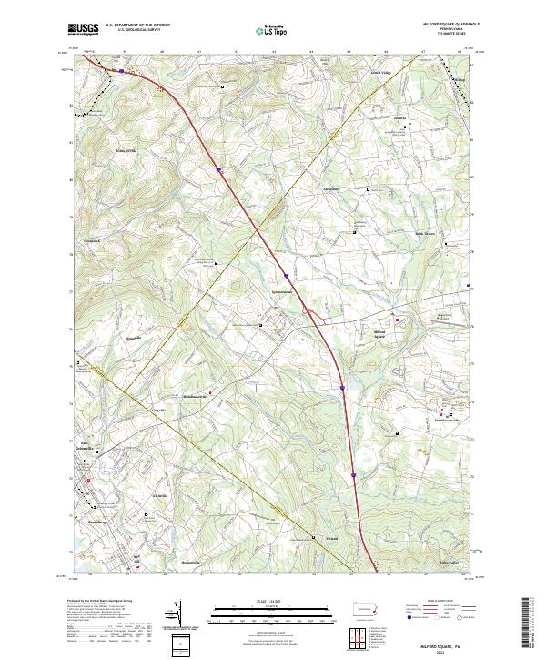 2023 Milford Square2023 Print · USGSUpper Bucks and Montgomery counties meet in this Pennsylvania survey, showcasing a landscape of rural hamlets and deep religious roots. Genealogists can trace family names at the Kraussdale Meeting House and Cem, Finland Mennonite Cem, and Stricker Cem.
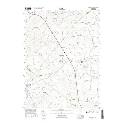
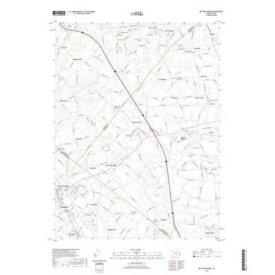
 - 2023 Map of Allentown East, 2023 Print
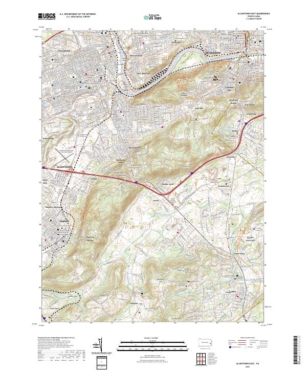 2023 Allentown East2023 Print · USGSThe Lehigh River corridor near Bethlehem and Allentown comes into focus in this recent study of the Lehigh Valley. Genealogists can trace family plots at Gods Acre Cem and Emmaus Moravian Cem or locate historic settlements like Friedensville and Seidersville.
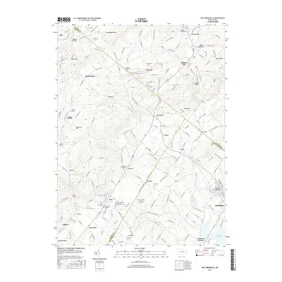
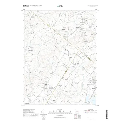
 - 2023 Map of East Greenville, 2023 Print
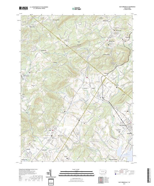 2023 East Greenville2023 Print · USGSThe tri-county border region of Berks, Lehigh, and Montgomery shows a landscape of deep-rooted settlements and intersecting creeks. Genealogists can trace family names and local history through numerous sites like Washington Schwenkfelder Cem and Huff Union Cem-North.
End of results
Showing maps 1-11 of 11
Top cities near Lower Milford
- Allentown historical maps
- Bethlehem historical maps
- Easton historical maps
- Pottstown historical maps
- Limerick Township historical maps
- Fullerton historical maps
See more
Top neighborhoods of Lower Milford
- Dillingersville historical maps
- Hosensack historical maps
- Limeport historical maps
- Krassdale historical maps
Frequently asked questions
- What are the different types of historical maps available for Lower Milford?
- What is the oldest map of Lower Milford?
- Where can I purchase historical maps of Lower Milford for my home or office?
- Where can I download high-res historical maps of Lower Milford?
- Are there historical topographic maps available for Lower Milford?
- Is there historical aerial imagery available for Lower Milford?
- Where are historical maps of Lower Milford sourced from?