Old Maps of Wilkes-Barre Township, Pennsylvania for Academic Research
Study the evolution of Wilkes-Barre Township with 38 high-resolution historic maps. Whether you're teaching, researching, or modeling changes in land use, these maps provide essential visual documentation of urban, environmental, and geographic change.
- Analyze long-term change: Track patterns in development, transportation, and natural features.
- Ideal for environmental or urban studies: Support academic projects with primary historical map data.
- Use in the classroom or lab: Educators and researchers rely on these maps to bring historical context to life.
These maps are a powerful tool for teaching, research, and visualizing how Wilkes-Barre Township has changed over the decades.
Wilkes-Barre Township, PA maps
(38)- 1891 Map of Wilkesbarre
 1891 Wilkesbarre1891 Print · USGSLuzerne County's industrial heartland is caught here at the height of the anthracite era, where the coal-and-rail economy dominated the Wyoming Valley. Genealogists and historians can trace the specific layouts of coal patches like Sugar Notch and Moffatt Patch or follow the path of the Lehigh Valley R. R. across the ridges.2 unique versions available
 - 1893 Map of Pittston
 1893 Pittston1893 Print · USGSThe industrial Wyoming Valley and the rural uplands of the Susquehanna meet in this late nineteenth-century survey. Researchers can trace the complex rail networks of Pittston and West Pittston or locate family roots in settlements like Forty Fort, Maltby, and Falls.9 unique versions available
 - 1894 Map of Wilkesbarre
 1894 Wilkesbarre1894 Print · USGSThe northern anthracite coal fields and rugged ridge-and-valley terrain of Luzerne County are captured here in the 1890s. Researchers can trace early railroad alignments through Sugar Notch or locate long-standing settlements like White Haven and Ashley.8 unique versions available
 - 1943 Map of Scranton
 1943 Scranton1943 Print · USGSNortheastern Pennsylvania’s coal and rail corridor comes to life in the 1940s, showcasing the dense urban industrial centers of the Wyoming Valley. Genealogists can locate family landmarks like the Fayette School and Locust Ridge School or trace the early paths of the DL & W and Erie railroads.
 - 1947 Map of Wilkes-Barre West, 1958 Print
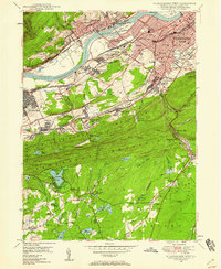 1947 Wilkes-Barre West1958 Print · USGSThe Wyoming Valley anthracite region thrives in the late 1940s, showing a landscape defined by massive coal operations and a dense rail network. Trace local family roots through sites like Shawnee Cem, Sugar Notch, and the neighborhood schools of Wilkes-Barre.6 unique versions available
 - 1947 Map of Wilkes-Barre East, 1959 Print
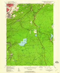 1947 Wilkes-Barre East1959 Print · USGSWilkes-Barre and the eastern ridges of the Wyoming Valley are shown in the post-war era as the anthracite coal industry shaped the landscape. Genealogists can trace family connections at Georgetown, Laurel Run, and Holy Trinity Cem, or locate landmarks like Ochre Mill and Oliver Sch.7 unique versions available
 - 1947 Map of Pittston, 1961 Print
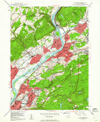 1947 Pittston1961 Print · USGSLuzerne County's industrial heartland is captured here in the late 1940s, showing the dense rail-and-river corridor of the Wyoming Valley. Genealogists can trace family roots through numerous local landmarks, including the Wyoming Monument, St Joseph Cem, and the Port Griffith Sch.4 unique versions available
 - 1949 Map of Pittston
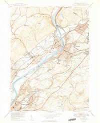 1949 Pittston1949 Print · USGSThe Wyoming Valley industrial corridor is captured here at a post-war peak, showing the heavy rail-and-river network of the coal regions. Researchers can trace historic family landmarks from the Wyoming Monument to the Wyoming Camp Ground and St Joseph Cem.2 unique versions available
 - 1950 Map of Wilkes-Barre West
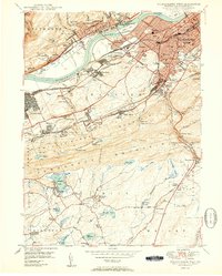 1950 Wilkes-Barre West1950 Print · USGSThe Susquehanna Valley thrives in this mid-century portrait of Pennsylvania's coal country. Genealogists and historians can trace the footprint of Wilkes-Barre alongside local landmarks like Shawnee Cem and the Pennsylvania RR.2 unique versions available
 - 1950 Map of Wilkes-Barre East
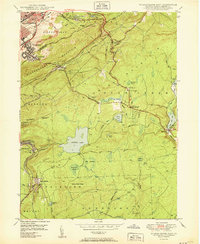 1950 Wilkes-Barre East1950 Print · USGSLuzerne County at the midpoint of the century shows a landscape defined by coal extraction, mountain railroading, and upland resorts. Genealogists and researchers can trace family landmarks like Oliver Mills, Llewellyn Corners, and the historic Holy Trinity Cem.2 unique versions available
 - 1950 Map of Scranton, 1952 Print
 1950 Scranton1952 Print · USGSMid-century Northeast Pennsylvania and the Hudson Valley come alive in this survey of the tri-state region. Genealogists and historians can trace the dense rail networks of the Erie RR and DL&W RR between industrial hubs like Scranton and Wilkes-Barre.
 - 1953 Map of Scranton
 1953 Scranton1953 Print · USGSNortheastern Pennsylvania and the Catskills are shown in great detail during the early fifties, a time when rail lines and river valleys dictated the region's growth. Genealogists and historians can trace the industrial hearts of Scranton and Wilkes-Barre or locate remote landmarks like High Point and Lake Wallenpaupack.
 - 1959 Map of Scranton
 1959 Scranton1959 Print · USGSThe northern coalfields and the Hudson Valley meet in this mid-century survey of the Pennsylvania and New York borderlands. Genealogists and historians can trace the intricate rail networks of the Erie Railroad and the vast waters of Lake Wallenpaupack.2 unique versions available
 - 1962 Map of Scranton, 1977 Print
 1962 Scranton1977 Print · USGSThe industrial heart of eastern Pennsylvania and the New York Catskills are captured here in the early sixties. Genealogists and historians can trace the dense valley settlements from Scranton to Wilkes-Barre and the rail lines of the Erie Lackawanna Railroad.2 unique versions available
 - 1965 Map of Scranton
 1965 Scranton1965 Print · USGSThe tri-state highlands of Pennsylvania, New York, and New Jersey come alive in the mid-sixties as industry and recreation converge. Trace the intricate rail lines of the Erie Lackawanna RR or locate landmarks like the U S Military Academy.2 unique versions available
 - 1976 Map of Wilkes-Barre East, 1979 Print
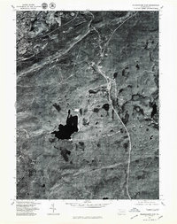 1976 Wilkes-Barre East1979 Print · USGSWilkes-Barre and the surrounding highlands are captured in this mid-seventies aerial survey as the city meets the mountain. Local historians can trace the development of Forest Park and Glen Summit against the terrain of Wyoming Mountain.
 - 1976 Map of Wilkes-Barre West, 1979 Print
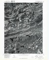 1976 Wilkes-Barre West1979 Print · USGSThe Wyoming Valley's industrial corridor comes into focus in the late 1970s, showing the dense riverside development of the coal region. Trace the layout of boroughs like Plymouth and Sugar Notch or the high ridges of Penobscot Mountain.
 - 1976 Map of Pittston, 1979 Print
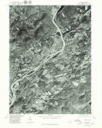 1976 Pittston1979 Print · USGSThe Wyoming Valley comes into sharp focus in the mid-1970s, showcasing the urban density along the Susquehanna River. Trace the industrial footprint of Pittston and Wilkes-Barre or locate family properties in Swoyersville.
 - 1986 Map of Scranton
 1986 Scranton1986 Print · USGSNortheastern Pennsylvania in the mid-eighties shows an era of transition between its deep-rooted mining history and modern transit growth. Researchers can trace the industrial footprint of a Strip Mine, locate the Tobyhanna Army Depot, or find family sites near St Marys Cem and Wilkes College.2 unique versions available
 - 1994 Map of Wilkes-Barre East, 1995 Print
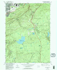 1994 Wilkes-Barre East1995 Print · USGSWilkes-Barre and its southern highlands are captured in the mid-nineties, showing the intersection of valley industry and mountain retreats. Genealogists and historians can trace family-named sites from Llewellyn Corners to the estates at Glen Summit and the historic Ochre Mill.
 - 1994 Map of Pittston, 1995 Print
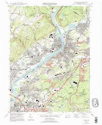 1994 Pittston1995 Print · USGSThe Wyoming Valley at the end of the twentieth century shows a landscape defined by the confluence of the Susquehanna and Lackawanna Rivers. Genealogists and historians can locate legacy sites like Wyoming Seminary, the Wyoming Monument, and numerous family cemeteries.
 - 1999 Map of Wilkes-Barre East, 2002 Print
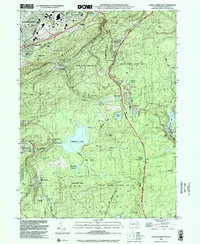 1999 Wilkes-Barre East2002 Print · USGSWilkes-Barre and its mountain surrounds are shown at the close of the twentieth century as urban life meets vast conservation lands. Researchers can locate historic Oliver Mills, the Ochre Mill, and family landmarks like the Rosenzweig Landing Field.
 - 1999 Map of Pittston, 2002 Print
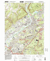 1999 Pittston2002 Print · USGSThe Susquehanna and Lackawanna rivers meet in this 1990s portrait of Pennsylvania's industrial heartland during a period of urban density. Genealogists and historians can trace neighborhood developments in West Wyoming and Yatesville, or locate family sites near St Joseph Cem and Pittston Yards.
 - 2010 Map of Wilkes-Barre East, 2010 Print
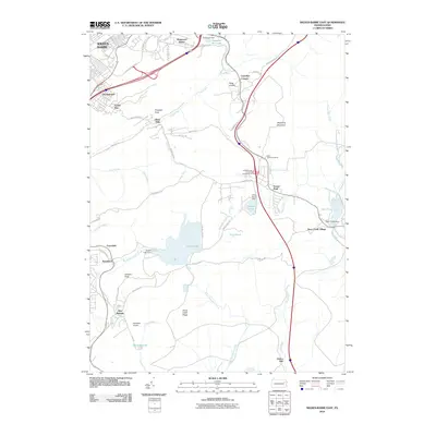 2010 Wilkes-Barre East2010 Print · USGSCovers Wilkes-Barre Township, including Wilkes-Barre, Plains Township, and other nearby areas
 - 2010 Map of Pittston, 2010 Print
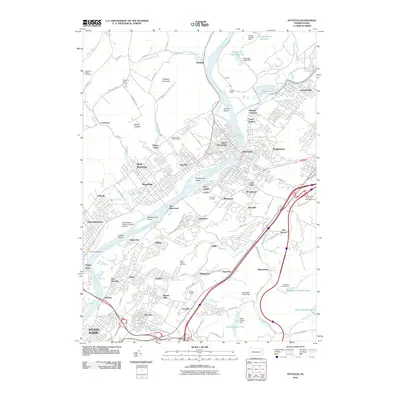 2010 Pittston2010 Print · USGSCovers Wilkes-Barre Township, including Wilkes-Barre, Plains Township, and other nearby areas
Showing maps 1-25 of 38
Top cities near Wilkes-Barre Township
- Scranton historical maps
- Wilkes-Barre historical maps
- Kingston historical maps
- Nanticoke historical maps
- Plains Township historical maps
- Dallas Township historical maps
See more
Top neighborhoods of Wilkes-Barre Township
Frequently asked questions
- What are the different types of historical maps available for Wilkes-Barre Township?
- What is the oldest map of Wilkes-Barre Township?
- Where can I purchase historical maps of Wilkes-Barre Township for my home or office?
- Where can I download high-res historical maps of Wilkes-Barre Township?
- Are there historical topographic maps available for Wilkes-Barre Township?
- Is there historical aerial imagery available for Wilkes-Barre Township?
- Where are historical maps of Wilkes-Barre Township sourced from?