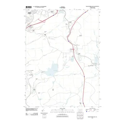
2010 Map of Wilkes-Barre East
USGS Topo · Published 2010About this map
Wyoming Mountain dominates the central terrain of this quadrangle, separating the urban sprawl of Wilkes-Barre from the high-elevation lake communities to the east. Historically a region defined by its timber and industry, the map shows legacy sites like Oliver Mills and the Ochre Mill near the southern boundary. These industrial markers sit alongside mid-century residential developments such as Boulevard Manor and Georgetown.
Find a feature on this map
65 named features on this map. Tap any name to fly to it.
Don’t see what you’re looking for? This feature index may not catch every label — zoom into the map to look around manually.
Map Details
Editions of this 2010 Wilkes-Barre East Map
This is the sole edition of this map. No revisions or reprints were ever made.
Other maps of this area

1889 · Scranton
USGS Topo · 1:62,500

1891 · Wilkesbarre
USGS Topo · 1:62,500

1891 · Scranton
USGS Topo · 1:62,500

1893 · Pittston
USGS Topo · 1:62,500

1893 · Scranton
USGS Topo · 1:62,500

1894 · Wilkesbarre
USGS Topo · 1:62,500

1922 · Stoddartsville
USGS Topo · 1:62,500

1924 · Stoddartsville
USGS Topo · 1:62,500

1943 · Scranton
USGS Topo · 1:125,000

1943 · Stoddartsville
USGS Topo · 1:62,500