2010s Maps of Lewis Township, Pennsylvania
Explore 16 historic maps of Lewis Township from the 2010s. These maps offer a rare glimpse into what life looked like during the 2010s — showing old roads, neighborhoods, homes, and landmarks that have changed or disappeared over time.
Whether you're researching your family's past, planning a metal detecting trip, or studying how Lewis Township's landscape evolved across the 2010s, these high-resolution maps are a powerful tool for exploring the history of this region.
- Focus on a specific era: All maps on this page are from the 2010s, giving you a focused view of this time period.
- See what’s changed: Compare century-old streets, trails, and buildings to today's modern landscape using overlays and satellite layers.
- Research with precision: Use these maps for genealogy, historical research, land use analysis, or educational projects.
- View, download, or print: Maps are fully viewable online in high resolution, and can be downloaded or printed for your own records.
Start exploring Lewis Township's history through authentic maps from the 2010s. This is your window into the past.
Lewis Township, PA maps
(16)- 2010 Map of Salladasburg, 2010 Print
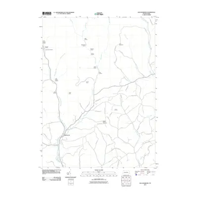 2010 Salladasburg2010 Print · USGSSalladasburg and the surrounding Lycoming County highlands are shown here in the early twenty-first century as a landscape of deep hollows and rural ridges. Researchers can trace local landmarks like Anthony Cemetery, Stablers Grove Picnic Area, and the distinctive Spook Hollow.
 - 2010 Map of Trout Run, 2010 Print
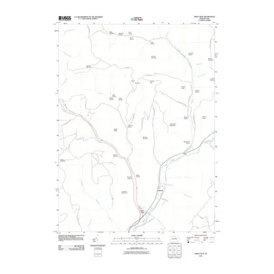 2010 Trout Run2010 Print · USGSTrout Run and the Lycoming Creek valley are captured here in the early twenty-first century, showcasing a landscape of high ridges and deep hollows. Genealogists and hikers can trace historic routes like Williamson Trl or locate family sites near Gray and Caldwell.
 - 2010 Map of Cogan Station, 2010 Print
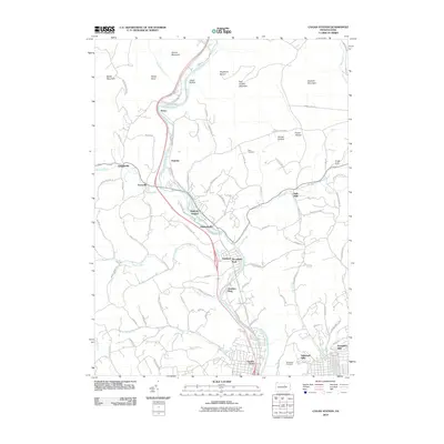 2010 Cogan Station2010 Print · USGSThe Lycoming Creek valley north of Williamsport comes into focus at the start of the 21st century, showing the expansion of northern suburbs. Trace old family lines and local landmarks at Stolz Cemetery, the historic hamlet of Balls Mills, and Knight Dam.
 - 2010 Map of Bodines, 2010 Print
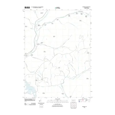 2010 Bodines2010 Print · USGSLycoming County at the start of the 21st century remains a landscape of deep hollows and high ridges defined by Lycoming Creek. Genealogists and local historians can trace family locations near Pennsdale Cemetery, the settlement at Calvert, and the rural strip at Marsh Hill.
 - 2013 Map of Bodines, 2013 Print
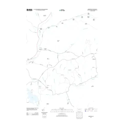 2013 Bodines2013 Print · USGSThe Lycoming Creek valley and its surrounding ridges come into focus in the early 2010s. Researchers can trace the layout of small mountain communities like Bodines and Calvert, or locate landmarks like Logue Airport and Hall Pond.
 - 2013 Map of Salladasburg, 2013 Print
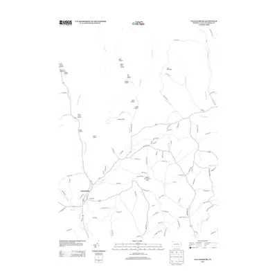 2013 Salladasburg2013 Print · USGSSalladasburg and the surrounding Lycoming County hollows are shown in detail during the early twenty-first century. Genealogists and researchers can trace family-named landmarks and rural routes like Stablers Grove Picnic Area, Coal Mountain, and Harris Point.
 - 2013 Map of Cogan Station, 2013 Print
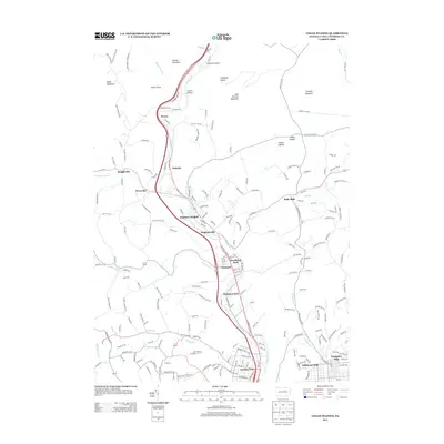 2013 Cogan Station2013 Print · USGSNorth of Williamsport in the early twenty-first century, this area shows a landscape of ridge-and-valley settlements and growing residential suburbs. Researchers can trace the development of historic hamlets like Balls Mills and Hepburnville or locate the site of Finkhaven Airport.
 - 2013 Map of Trout Run, 2013 Print
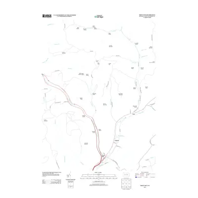 2013 Trout Run2013 Print · USGSThe northern Lycoming County highlands are captured here in the early twenty-first century, centered on the historic crossroads at Trout Run. Genealogists and hikers can trace the geography of small settlements like Caldwell and Gray alongside landmarks like Bodine Mountain Overlook.
 - 2016 Map of Salladasburg, 2016 Print
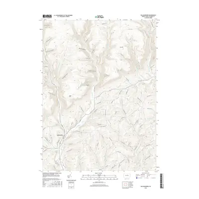 2016 Salladasburg2016 Print · USGSSalladasburg and the surrounding Lycoming County highlands are shown here in the mid-2010s, where deep hollows meet rising peaks. Researchers can locate the Anthony Cem and trace old family-named landmarks like Harris Point and Clapp Point.
 - 2016 Map of Trout Run, 2016 Print
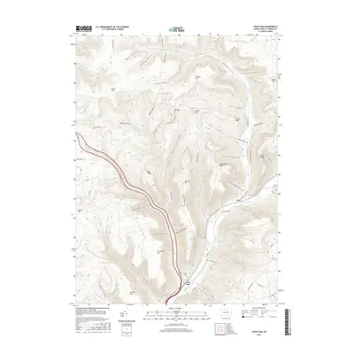 2016 Trout Run2016 Print · USGSLycoming County at the dawn of the 21st century remains a land of deep hollows and high ridges centered on the village of Trout Run. Researchers can trace the legacy of mountain life through family-named landmarks like Yoder Hollow, Pheasant Hollow, and Turntable Hollow.
 - 2016 Map of Cogan Station, 2016 Print
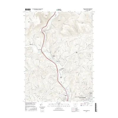 2016 Cogan Station2016 Print · USGSNorth of Williamsport in the mid-2010s, the Lycoming Creek corridor remains a vital link between the mountain ridges and the city. Genealogists and historians can trace family locations from Stolz Cem to the early industrial sites of Balls Mills and Cogan Station.
 - 2016 Map of Bodines, 2016 Print
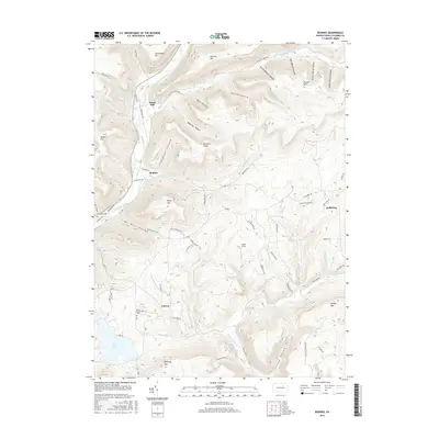 2016 Bodines2016 Print · USGSLycoming County’s deep valleys and high ridges are captured in detail during the mid-2010s. Researchers can trace family sites at Pennsdale Cem and explore small settlements like Bodines and Marsh Hill along the banks of Lycoming Creek.
 - 2019 Map of Bodines, 2019 Print
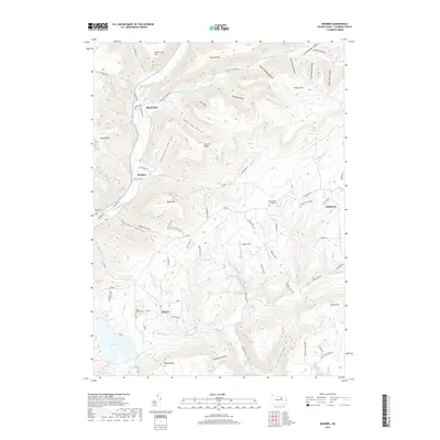 2019 Bodines2019 Print · USGSLycoming County’s high ridges and deep hollows are shown in detail here during the late twenty-teens. Researchers can trace family history through sites like Apker Cem and Beech Valley Cem, or locate the small settlements of Marsh Hill and Bodines.
 - 2019 Map of Salladasburg, 2019 Print
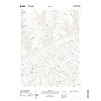 2019 Salladasburg2019 Print · USGSSalladasburg and the surrounding Lycoming County highlands are mapped here in the late 2010s, showing the intersection of mountain runs and rural roads. Historians can trace established local landmarks like the Woodward Township Cem, Coal Mtn, and the winding course of Larrys Creek.
 - 2019 Map of Cogan Station, 2019 Print
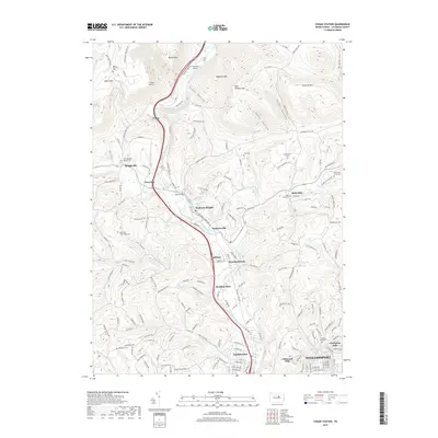 2019 Cogan Station2019 Print · USGSLycoming Creek valley is seen here in the late 2010s as it transitions from the steep mountains of central Pennsylvania into the Williamsport outskirts. Genealogists can locate several family burial sites including Stolz Cemetery, Brucklacher Cemetery, and the Old Grove Homestead Cemetery.
 - 2019 Map of Trout Run, 2019 Print
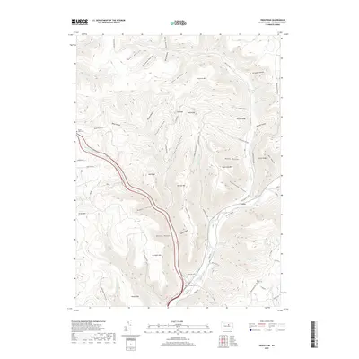 2019 Trout Run2019 Print · USGSLycoming County in the late twenty-teens remains a landscape of deep valleys and high timber ridges. Researchers can trace family sites at Steam Valley Cem or follow the historic drainage patterns along Lycoming Creek and Splash Dam Run.
End of results
Showing maps 1-16 of 16
Top cities near Lewis Township
- Williamsport historical maps
- South Williamsport historical maps
- Montoursville historical maps
- Jersey Shore historical maps
- Kenmar historical maps
- Garden View historical maps
See more
Top neighborhoods of Lewis Township
Frequently asked questions
- What are the different types of historical maps available for Lewis Township?
- What is the oldest map of Lewis Township?
- Where can I purchase historical maps of Lewis Township for my home or office?
- Where can I download high-res historical maps of Lewis Township?
- Are there historical topographic maps available for Lewis Township?
- Is there historical aerial imagery available for Lewis Township?
- Where are historical maps of Lewis Township sourced from?