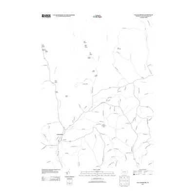
2013 Map of Salladasburg
USGS Topo · Published 2013About this map
Salladasburg serves as the primary hub of this North Central Pennsylvania landscape, situated at the confluence of several vital watercourses including Larrys Cr and its tributaries. The terrain is defined by a dense network of named hollows and ridges that speak to the local geography's complexity, such as Pot Lick Hollow, Spook Hollow, and Match Pine Hollow. These features, along with landmarks like Coal Mountain and Harris Point, illustrate a deeply etched valley system where roads often follow the paths of least resistance alongside streams. Modern recreation and community spaces are represented by the Stablers Grove Picnic Area, while the network of rural routes like Coal Mine Rd and Hoagland Run Rd provides a clear view of how transit is dictated by the steep elevations of the Lycoming County countryside.
Find a feature on this map
104 named features on this map. Tap any name to fly to it.
Don’t see what you’re looking for? This feature index may not catch every label — zoom into the map to look around manually.
Map Details
Editions of this 2013 Salladasburg Map
This is the sole edition of this map. No revisions or reprints were ever made.
Other maps of this area

1921 · Williamsport
USGS Topo · 1:48,000

1921 · Trout Run
USGS Topo · 1:62,500

1921 · Lock Haven
USGS Topo · 1:62,500

1923 · Lock Haven
USGS Topo · 1:62,500

1923 · Trout Run
USGS Topo · 1:62,500

1923 · Williamsport
USGS Topo · 1:62,500

1935 · Waterville
USGS Topo · 1:24,000

1937 · Waterville
USGS Topo · 1:48,000

1943 · Waterville
USGS Topo · 1:62,500

1944 · Trout Run
USGS Topo · 1:62,500