Old Maps of Upper Fairfield Township, Pennsylvania for Metal Detecting
Plan your next treasure hunt with 22 historic maps of Upper Fairfield Township. Find old homesites, ghost towns, trails, and gathering spots that may be lost to time — perfect for identifying promising metal detecting locations.
- Locate forgotten sites: Uncover places like long-lost settlements, abandoned rail lines, or gathering spots.
- Plan better hunts: Use map overlays combined with LiDAR or satellite views to narrow in on historically rich areas.
- Made for detectorists: Thousands of hobbyists use these maps to discover relics, coins, and hidden history.
Use these historic maps to boost your research and find new opportunities beneath the surface of Upper Fairfield Township.
Upper Fairfield Township, PA maps
(22)- 1930 Map of Warrensville
 1930 Warrensville1930 Print · USGSLycoming County’s rugged valley and ridge landscape is captured here during the 1930s as small farming and timber communities thrived along the creek networks. Genealogists can trace family names at the County Farm or locate rural landmarks like Quaker Hill Sch, Fairfield Center, and the remote Coal Mine Hollow.3 unique versions available
 - 1934 Map of Warrensville
 1934 Warrensville1934 Print · USGSLycoming County in the early thirties is a landscape of tight-knit valley settlements and steep ridges. Genealogists can trace family footprints across dozens of local landmarks like Wallis Run Ch, the Quaker Hill Sch, and the County Farm.3 unique versions available
 - 1953 Map of Warrensville, 1956 Print
 1953 Warrensville1956 Print · USGSThe mountains and valleys of Lycoming County are shown in detail during the early fifties, from the railroad corridor at Bodines to the farms of Montoursville. Genealogists can locate family-named landmarks like Quaker Hill, the Church of the Assumption, and small hamlets such as Barbours or Hoppestown.2 unique versions available
 - 1954 Map of Williamsport
 1954 Williamsport1954 Print · USGSNorth-central Pennsylvania in the mid-fifties is defined by the winding West Branch Susquehanna River and its industrial valley. Local historians can trace the massive Susquehanna Ordnance Depot and the extensive rail networks of the Pennsylvania Railroad.
 - 1960 Map of Williamsport
 1960 Williamsport1960 Print · USGSNorth-central Pennsylvania in the mid-twentieth century was a vital corridor of rail and river industry stretching from the New York line to the coal regions. Genealogists can trace the rail networks of the Pennsylvania RR and Lehigh Valley RR connecting towns like Williamsport, Towanda, and Lock Haven.
 - 1962 Map of Williamsport, 1966 Print
 1962 Williamsport1966 Print · USGSNorth-central Pennsylvania was a landscape of industrial river hubs and vast state woodlands in the early sixties. Researchers can trace the path of the Pennsylvania Railroad through Williamsport and explore the remote reaches of Bucktail State Park.5 unique versions available
 - 1965 Map of Williamsport
 1965 Williamsport1965 Print · USGSNorth-central Pennsylvania in the mid-1960s is defined by the industrial river towns and vast timberlands of the Allegheny Plateau. Researchers can trace historic rail lines like the Erie Lackawanna and Reading as they thread through Williamsport, Lock Haven, and Jersey Shore.
 - 1965 Map of Huntersville, 1967 Print
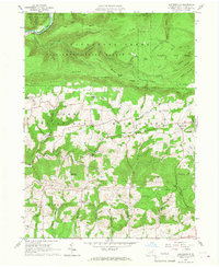 1965 Huntersville1967 Print · USGSLycoming County in the mid-1960s reveals a landscape transitioning from the steep timberlands of Tiadaghton State Forest to the farm valleys of Muncy. Genealogists and historians can trace community roots through the Grange Hall, Huntersville Trinity Cem, and old crossroads like Dewey Corner.4 unique versions available
 - 1965 Map of Montoursville North, 1967 Print
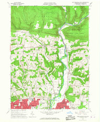 1965 Montoursville North1967 Print · USGSThe northern Lycoming County hills meet the Susquehanna valley in the mid-sixties, where the Tiadaghton State Forest transitions into growing residential areas. Local researchers can trace family roots at Quaker Hill Cem or locate community centers like the Township High Sch and Loyalsockville.4 unique versions available
 - 1966 Map of Williamsport
 1966 Williamsport1966 Print · USGSThe Susquehanna Valley was a hub of transit and industry in the mid-seventies, where the river's West Branch connected major college towns and timberlands. Researchers can trace historical rail lines like the Reading or locate regional landmarks from Jersey Shore to Ricketts Glen State Park.
 - 1984 Map of Williamsport East, 1985 Print
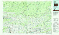 1984 Williamsport East1985 Print · USGSThe Susquehanna River valley and Allegheny highlands come together in this mid-eighties survey of central Pennsylvania. Trace family roots at Muncy Cem or locate institutional landmarks like Lycoming College and the State Correctional Institution at Retreat.2 unique versions available
 - 1999 Map of Montoursville North, 2001 Print
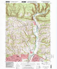 1999 Montoursville North2001 Print · USGSNorth of Montoursville at the end of the century, the winding Loyalsock Creek valley balances state forest lands with growing residential neighborhoods. Local researchers can trace family sites at Christian Hill Cem or locate historical landmarks like the Lysock View County Home and Warrensville.
 - 2010 Map of Montoursville North, 2010 Print
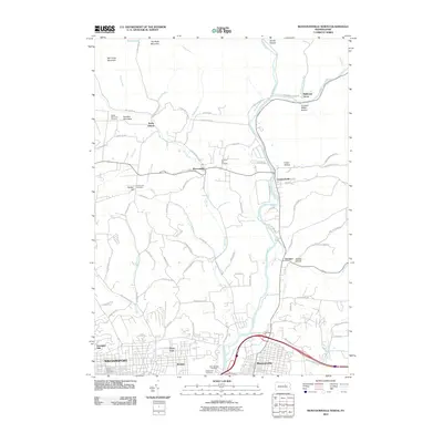 2010 Montoursville North2010 Print · USGSNorth of the Susquehanna valley in the early twenty-first century, this landscape reveals the transition from suburb to high ridge. Researchers can locate several burial grounds including Quaker Hill Cemetery and Christian Hill Cemetery, while tracing the course of Loyalsock Creek.
 - 2010 Map of Huntersville, 2010 Print
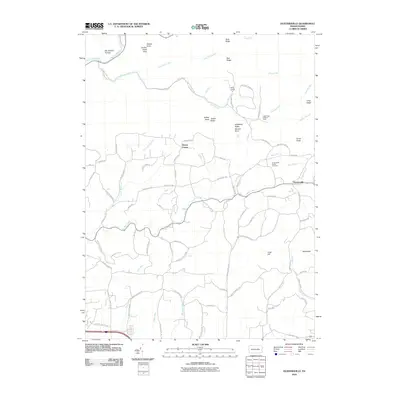 2010 Huntersville2010 Print · USGSLycoming County at the start of the decade reveals a landscape where deep-cut hollows meet high ridge vistas. Genealogists and hikers can trace old family roads to Huntersville Trinity Cemetery or climb toward the Long Ridge Lookout Tower and Smiths Knob Vista.
 - 2013 Map of Montoursville North, 2013 Print
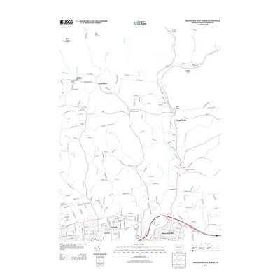 2013 Montoursville North2013 Print · USGSLycoming County at the start of the 2010s shows a landscape where mountain ridges give way to long-settled river valleys. Genealogists and hikers can trace the creek-side roads of Warrensville or explore the terrain around Quaker Hill and Scofield Mountain.
 - 2013 Map of Huntersville, 2013 Print
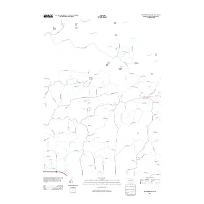 2013 Huntersville2013 Print · USGSHuntersville and the surrounding Lycoming County highlands are documented here during the early twenty-first century. Genealogists and hikers can trace family-named routes and landmarks like Dewey Corner, Smiths Knob, and the Long Ridge Lookout Tower.
 - 2016 Map of Huntersville, 2016 Print
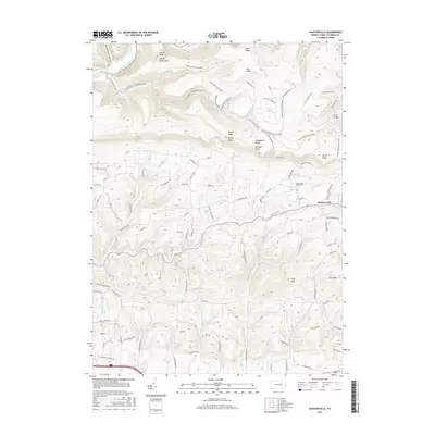 2016 Huntersville2016 Print · USGSMuncy Township and the surrounding Lycoming County highlands are documented here during the mid-2010s. Local researchers can trace family landmarks along Kehrer Hill Rd, explore the area around Huntersville, or locate Huntersville Trinity Cem.
 - 2016 Map of Montoursville North, 2016 Print
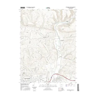 2016 Montoursville North2016 Print · USGSNorth of Williamsport in the mid-2010s, the landscape transitions from established suburban neighborhoods to the steep ridges of the Allegheny front. Genealogists can locate several family burial sites like Quaker Hill Cem and Christian Hill Cem, or trace the winding course of Loyalsock Creek.
 - 2019 Map of Huntersville, 2019 Print
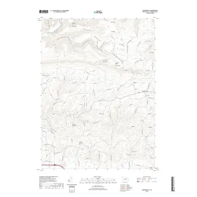 2019 Huntersville2019 Print · USGSHuntersville and the surrounding Lycoming County highlands are documented here in the late twenty-first century. Genealogists can locate several historic burial grounds, including Huntersville Trinity Cem and Saint James Lutheran Church Cem, set against the backdrop of Dickey Knob and Loyalsock Creek.
 - 2019 Map of Montoursville North, 2019 Print
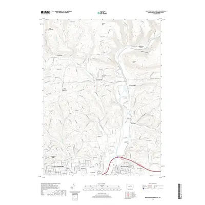 2019 Montoursville North2019 Print · USGSLycoming County at the close of the 2010s shows the rugged interface between the Williamsport suburbs and the Allegheny front. Researchers can trace family history through numerous rural burial sites like Buckley-Farragut Cem and the Quaker Hill Cem.
 - 2023 Map of Huntersville, 2023 Print
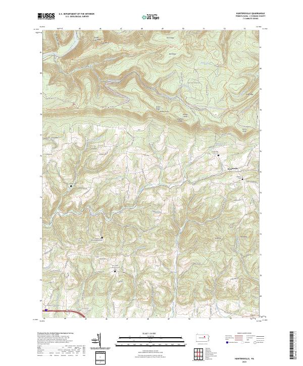 2023 Huntersville2023 Print · USGSLycoming County’s ridge-and-valley landscape is documented here in recent years, showing the intersection of timberlands and rural community life. Genealogists and historians can locate family plots at Fairfield Cem or Webster Cem and trace the paths around Huntersville.
 - 2023 Map of Montoursville North, 2023 Print
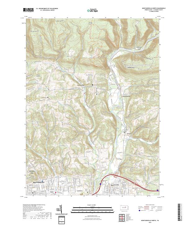 2023 Montoursville North2023 Print · USGSNorth of Williamsport in the 2020s, the terrain rises into the high ridges of the Allegheny Plateau. Genealogists can locate several family burial sites including the Scott Family Graveyard and Quaker Hill Cem near Loyalsockville.
End of results
Showing maps 1-22 of 22
Top cities near Upper Fairfield Township
- Williamsport historical maps
- South Williamsport historical maps
- Montoursville historical maps
- White Deer Township historical maps
- Kenmar historical maps
- Garden View historical maps
See more
Top neighborhoods of Upper Fairfield Township
Frequently asked questions
- What are the different types of historical maps available for Upper Fairfield Township?
- What is the oldest map of Upper Fairfield Township?
- Where can I purchase historical maps of Upper Fairfield Township for my home or office?
- Where can I download high-res historical maps of Upper Fairfield Township?
- Are there historical topographic maps available for Upper Fairfield Township?
- Is there historical aerial imagery available for Upper Fairfield Township?
- Where are historical maps of Upper Fairfield Township sourced from?