2010s Maps of Hempfield Township, Pennsylvania
Explore 16 historic maps of Hempfield Township from the 2010s. These maps offer a rare glimpse into what life looked like during the 2010s — showing old roads, neighborhoods, homes, and landmarks that have changed or disappeared over time.
Whether you're researching your family's past, planning a metal detecting trip, or studying how Hempfield Township's landscape evolved across the 2010s, these high-resolution maps are a powerful tool for exploring the history of this region.
- Focus on a specific era: All maps on this page are from the 2010s, giving you a focused view of this time period.
- See what’s changed: Compare century-old streets, trails, and buildings to today's modern landscape using overlays and satellite layers.
- Research with precision: Use these maps for genealogy, historical research, land use analysis, or educational projects.
- View, download, or print: Maps are fully viewable online in high resolution, and can be downloaded or printed for your own records.
Start exploring Hempfield Township's history through authentic maps from the 2010s. This is your window into the past.
Hempfield Township, PA maps
(16)- 2010 Map of Greenville West, 2010 Print
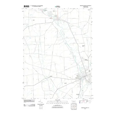 2010 Greenville West2010 Print · USGSGreenville and its surrounding river valleys are captured here at the start of the twenty-first century. Genealogists and local historians can trace the town's expansion near Shenango Valley Cemetery or locate smaller outposts like Maysville and Donner Crossroads.
 - 2010 Map of Fredonia, 2010 Print
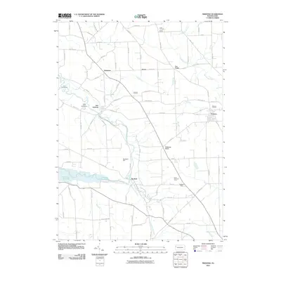 2010 Fredonia2010 Print · USGSMercer County at the start of the decade shows a landscape of river bends and rural crossroads like Oniontown and Delaware Grove. Genealogists and local historians can trace family locations through Millbank Cemetery, Busch Cemetery, and the riverside settlement of Big Bend.
 - 2010 Map of Greenville East, 2010 Print
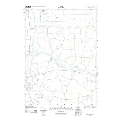 2010 Greenville East2010 Print · USGSThe rural Pennsylvania countryside of Mercer County is shown here in the early twenty-first century, centered on the Little Shenango River. Genealogists and local historians can trace family burial sites like Salem Cemetery and Freeland Cemetery or locate old community hubs like Petersburg and Kennard.
 - 2010 Map of Sharpsville, 2010 Print
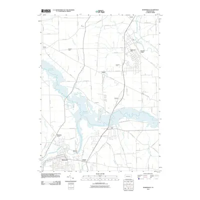 2010 Sharpsville2010 Print · USGSThe borough of Sharpsville and the expansive Shenango River Lake are captured here in the early twenty-first century. Genealogists and local historians can locate Fell Cemetery, Zion Cemetery, and old crossroads like Pritchards Corner and Lamonts Corners.
 - 2013 Map of Fredonia, 2013 Print
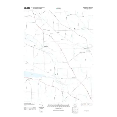 2013 Fredonia2013 Print · USGSMercer County's rural townships are captured here in the early twenty-first century, showcasing a network of small settlements and river valleys. Researchers can trace the roads connecting Fredonia, Oniontown, and New Hamburg near the banks of the Shenango River.
 - 2013 Map of Greenville East, 2013 Print
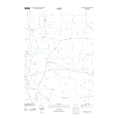 2013 Greenville East2013 Print · USGSMercer County at the start of the 2010s reveals a tapestry of historic crossroads and waterway infrastructure. Researchers can trace the path of the Erie Extension Canal and locate rural communities like Leechs Corners, Osborn, and Henlein.
 - 2013 Map of Greenville West, 2013 Print
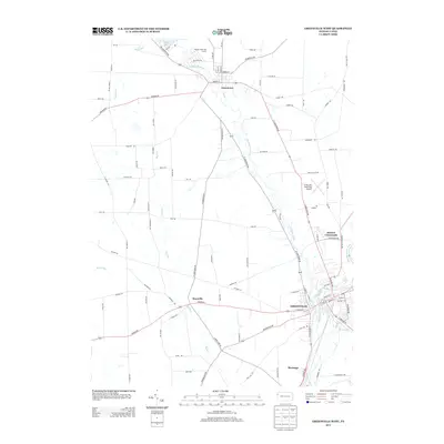 2013 Greenville West2013 Print · USGSGreenville and its surrounding river valleys are captured here during the early twenty-first century. Researchers can trace the development of riverside communities like Jamestown and Shenango, or locate family-named landmarks such as Donner Crossroads and the Greenville Municipal Airport.
 - 2013 Map of Sharpsville, 2013 Print
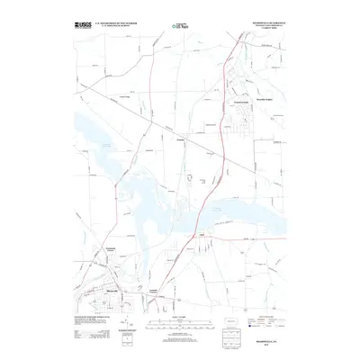 2013 Sharpsville2013 Print · USGSThe riverside community of Sharpsville and the waters of Shenango River Lake define this Mercer County landscape in 2013. Trace the development of local settlements like Transfer and Clark, or locate landmarks such as Napodano Airport.
 - 2016 Map of Greenville West, 2016 Print
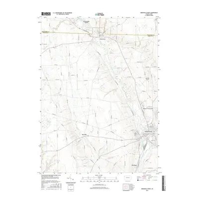 2016 Greenville West2016 Print · USGSThe confluence of the Shenango Rivers in western Pennsylvania anchors this detailed study of the area during its modern development. Genealogists and local historians can trace the campuses and landmarks of Greenville and Jamestown, including Thiel Coll and the Shenango Valley Cem.
 - 2016 Map of Sharpsville, 2016 Print
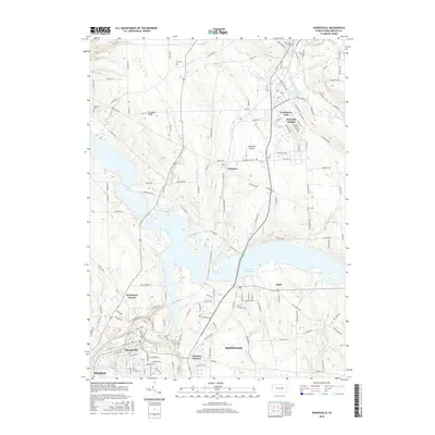 2016 Sharpsville2016 Print · USGSMercer County's landscape is defined here by the massive Shenango River Lake and its surrounding communities during the mid-2010s. Genealogists and local researchers can pinpoint family landmarks like Reichard Cemetery or trace the development of Sharpsville and Transfer.
 - 2016 Map of Fredonia, 2016 Print
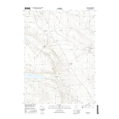 2016 Fredonia2016 Print · USGSMercer County's rural landscape is captured here in the mid-2010s, showing the enduring layout of villages like Fredonia and New Hamburg. Researchers can trace old family sites and local crossings near Millbank Cem, Big Bend, and Kidds Mills Rd.
 - 2016 Map of Greenville East, 2016 Print
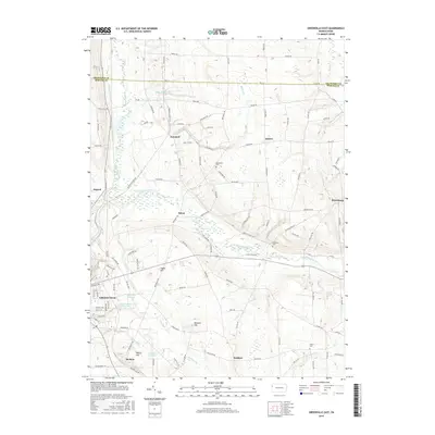 2016 Greenville East2016 Print · USGSMercer County's rural townships and water infrastructure are detailed here in the years before the recent decade. Genealogists and historians can trace family roots through the Stevenson Cem and Salem Cem, or locate the historic Erie Extension Canal and the borough of Greenville.
 - 2019 Map of Fredonia, 2019 Print
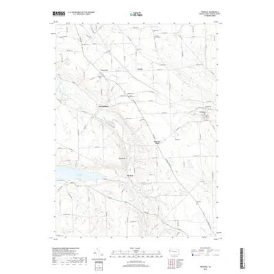 2019 Fredonia2019 Print · USGSMercer County at the close of the 2010s reveals a landscape of enduring rural settlements and significant watercourses. Genealogists can trace family connections through numerous burial grounds like Bigler Cem and Millbank Cem or locate former homesteads near New Hamburg and Oniontown.
 - 2019 Map of Greenville West, 2019 Print
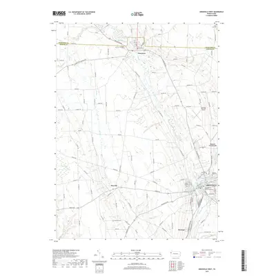 2019 Greenville West2019 Print · USGSGreenville and the surrounding Mercer County countryside are documented in this recent survey of the Shenango River valley. Local historians can trace the campuses and community landmarks of Jamestown, Thiel College, and the rural crossroads at Maysville.
 - 2019 Map of Sharpsville, 2019 Print
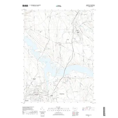 2019 Sharpsville2019 Print · USGSMercer County at the close of the 2010s shows a landscape shaped by the Shenango River and its massive reservoir. Genealogists can locate family sites at Riverside Cem, Transfer Cem, or Trout Island Cem while tracing the growth of Sharpsville and Hermitage.
 - 2019 Map of Greenville East, 2019 Print
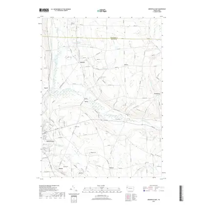 2019 Greenville East2019 Print · USGSMercer County at the close of the 2010s reveals a landscape of quiet rural villages and historic cemeteries nestled among the river forks. Genealogists and historians can trace family roots at Old Salem Church Cem or Freeland Cem and follow the legacy of the Erie Extension Canal.
End of results
Showing maps 1-16 of 16
Top cities near Hempfield Township
- Hermitage historical maps
- Sharon historical maps
- Brookfield historical maps
- Brookfield Township historical maps
- Hubbard historical maps
- Farrell historical maps
See more
Top neighborhoods of Hempfield Township
Frequently asked questions
- What are the different types of historical maps available for Hempfield Township?
- What is the oldest map of Hempfield Township?
- Where can I purchase historical maps of Hempfield Township for my home or office?
- Where can I download high-res historical maps of Hempfield Township?
- Are there historical topographic maps available for Hempfield Township?
- Is there historical aerial imagery available for Hempfield Township?
- Where are historical maps of Hempfield Township sourced from?