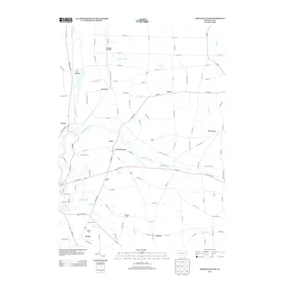
2013 Map of Greenville East
USGS Topo · Published 2013About this map
Salem and the surrounding rural landscape of Mercer County are defined by a network of small settlements and crossing waterways. The Little Shenango River meanders through the central terrain, while the historic route of the Erie Extension Canal remains a visible landmark in the northwest. This 2013 survey shows the evolution of local crossroads, from the industrial echoes near Quarry Hill to the community hubs at Leechs Corners and Minnis Corner.
Find a feature on this map
105 named features on this map. Tap any name to fly to it.
Don’t see what you’re looking for? This feature index may not catch every label — zoom into the map to look around manually.
Map Details
Editions of this 2013 Greenville East Map
This is the sole edition of this map. No revisions or reprints were ever made.
Other maps of this area

1906 · Linesville
USGS Topo · 1:62,500

1908 · Shenango
USGS Topo · 1:62,500

1908 · Linesville
USGS Topo · 1:62,500

1911 · Stoneboro
USGS Topo · 1:62,500

1913 · Stoneboro
USGS Topo · 1:62,500

1923 · Meadville
USGS Topo · 1:62,500

1925 · Meadville
USGS Topo · 1:62,500

1943 · Meadville
USGS Topo · 1:62,500

1943 · Stoneboro
USGS Topo · 1:62,500

1950 · Cleveland
USGS Topo · 1:250,000
Featured Places
- Salem, Sugar Grove Township
- Perry Township, PA
- Sugar Grove Township, PA
- West Fallowfield Township, PA
- Osgood, Sugar Grove Township