2000s (21st Century) Maps of Liberty Township, Pennsylvania
Explore 20 historic maps of Liberty Township from the 2000s (21st Century). These maps offer a rare glimpse into what life looked like during the 2000s — showing old roads, neighborhoods, homes, and landmarks that have changed or disappeared over time.
Whether you're researching your family's past, planning a metal detecting trip, or studying how Liberty Township's landscape evolved across the 2000s, these high-resolution maps are a powerful tool for exploring the history of this region.
- Focus on a specific era: All maps on this page are from the 2000s, giving you a focused view of this time period.
- See what’s changed: Compare century-old streets, trails, and buildings to today's modern landscape using overlays and satellite layers.
- Research with precision: Use these maps for genealogy, historical research, land use analysis, or educational projects.
- View, download, or print: Maps are fully viewable online in high resolution, and can be downloaded or printed for your own records.
Start exploring Liberty Township's history through authentic maps from the 2000s. This is your window into the past.
Liberty Township, PA maps
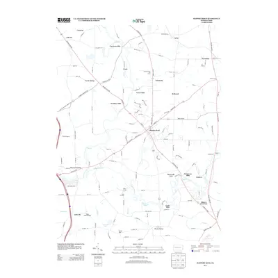
(20)- 2010 Map of Slippery Rock, 2010 Print
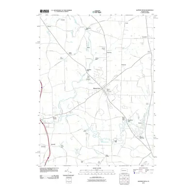 2010 Slippery Rock2010 Print · USGSCovers Liberty Township, including Slippery Rock, Plain Grove Township, and other nearby areas
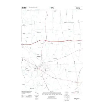
 - 2010 Map of Grove City, 2010 Print
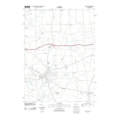 2010 Grove City2010 Print · USGSCovers Liberty Township, including Grove City, Harrisville, and other nearby areas
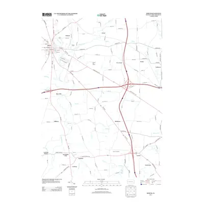
 - 2010 Map of Mercer, 2010 Print
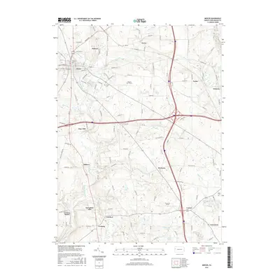
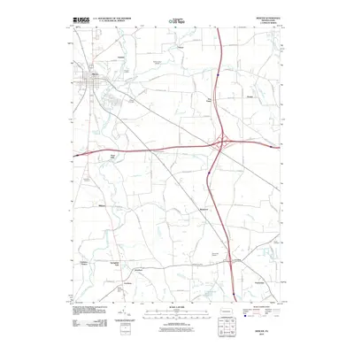 2010 Mercer2010 Print · USGSCovers Liberty Township, including Mercer, Jackson Township, and other nearby areas
 - 2010 Map of Harlansburg, 2010 Print
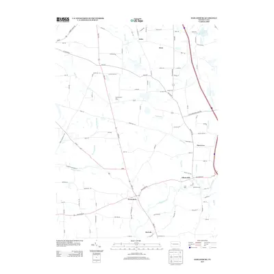
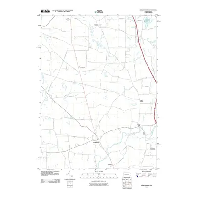 2010 Harlansburg2010 Print · USGSCovers Liberty Township, including Plain Grove Township, Rockville, and other nearby areas
 - 2013 Map of Slippery Rock, 2013 Print
 2013 Slippery Rock2013 Print · USGSCovers Liberty Township, including Slippery Rock, Plain Grove Township, and other nearby areas
 - 2013 Map of Grove City, 2013 Print
 2013 Grove City2013 Print · USGSCovers Liberty Township, including Grove City, Harrisville, and other nearby areas
 - 2013 Map of Harlansburg, 2013 Print
 2013 Harlansburg2013 Print · USGSCovers Liberty Township, including Plain Grove Township, Rockville, and other nearby areas
 - 2013 Map of Mercer, 2013 Print
 2013 Mercer2013 Print · USGSCovers Liberty Township, including Mercer, Jackson Township, and other nearby areas
 - 2016 Map of Slippery Rock, 2016 Print
 2016 Slippery Rock2016 Print · USGSCovers Liberty Township, including Slippery Rock, Plain Grove Township, and other nearby areas
 - 2016 Map of Harlansburg, 2016 Print
 2016 Harlansburg2016 Print · USGSCovers Liberty Township, including Plain Grove Township, Rockville, and other nearby areas
 - 2016 Map of Grove City, 2016 Print
 2016 Grove City2016 Print · USGSCovers Liberty Township, including Grove City, Harrisville, and other nearby areas
 - 2016 Map of Mercer, 2016 Print
 2016 Mercer2016 Print · USGSCovers Liberty Township, including Mercer, Jackson Township, and other nearby areas
 - 2019 Map of Slippery Rock, 2019 Print
 2019 Slippery Rock2019 Print · USGSCovers Liberty Township, including Slippery Rock, Plain Grove Township, and other nearby areas
 - 2019 Map of Grove City, 2019 Print
 2019 Grove City2019 Print · USGSCovers Liberty Township, including Grove City, Harrisville, and other nearby areas
 - 2019 Map of Harlansburg, 2019 Print
 2019 Harlansburg2019 Print · USGSCovers Liberty Township, including Plain Grove Township, Rockville, and other nearby areas
 - 2019 Map of Mercer, 2019 Print
 2019 Mercer2019 Print · USGSCovers Liberty Township, including Mercer, Jackson Township, and other nearby areas
 - 2023 Map of Slippery Rock, 2023 Print
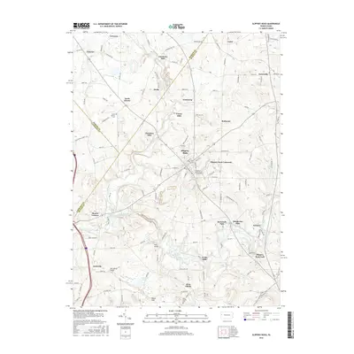
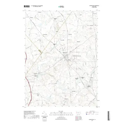
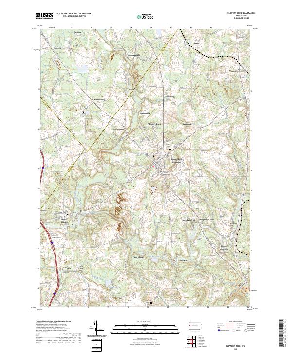 2023 Slippery Rock2023 Print · USGSSlippery Rock and its surrounding mill towns are captured here in the early 2020s, showing a landscape shaped by education and glacial geology. Researchers can locate family roots at the North Liberty Cem or trace the early industrial sites of Courtneys Mills and Crolls Mills.
 - 2023 Map of Mercer, 2023 Print
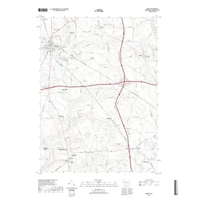
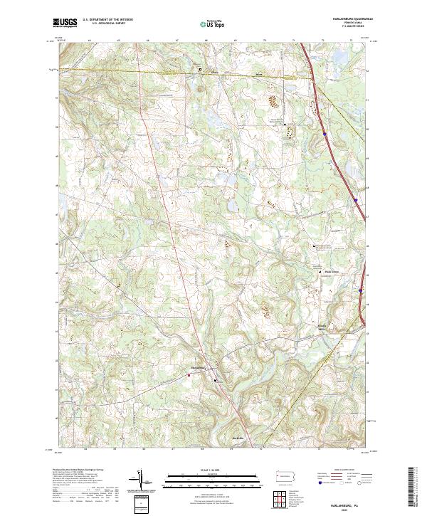
 2023 Mercer2023 Print · USGSMercer and its surrounding rural townships come alive in this recent survey of the Pennsylvania countryside. Family historians can trace numerous burial sites like Old Findley Cem and Saint Hermenegild Churchyard Cem alongside landmarks such as Springfield Falls.
 - 2023 Map of Grove City, 2023 Print
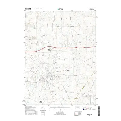
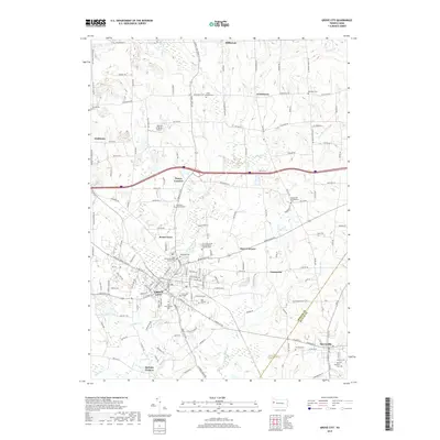
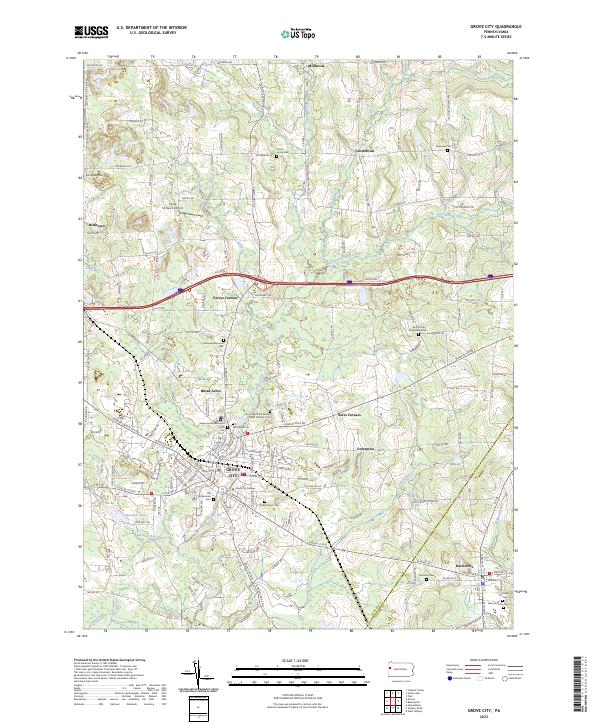 2023 Grove City2023 Print · USGSGrove City and the surrounding Pennsylvania countryside appear here in contemporary detail, centering on the college campus and the forks of Wolf Creek. Local researchers can trace family sites at Old Presbyterian Cem, Woodland Cem, and historic settlements like Centertown.
 - 2023 Map of Harlansburg, 2023 Print
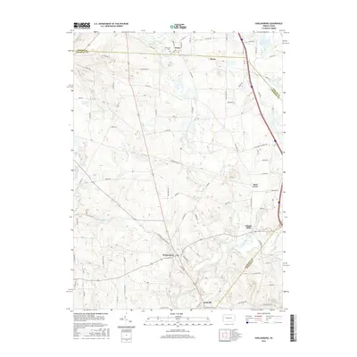
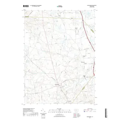
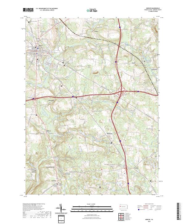
 2023 Harlansburg2023 Print · USGSLawrence and Mercer counties are shown here in modern detail, preserving the layout of longstanding crossroads and rural hamlets. Researchers can trace family history through sites like South Plain Grove Cem, Elliotts Mills, and the Unity Cem near Harlansburg.
End of results
Showing maps 1-20 of 20
Top cities near Liberty Township
- New Castle historical maps
- Grove City historical maps
- Slippery Rock historical maps
- Muddy Creek historical maps
- Mercer historical maps
- Prospect historical maps
See more
Top neighborhoods of Liberty Township
- Carmona historical maps
- Courtneys Mills historical maps
- Heath historical maps
- North Liberty historical maps
- Valcourt historical maps
- McCoys Corners historical maps
See more
Frequently asked questions
- What are the different types of historical maps available for Liberty Township?
- What is the oldest map of Liberty Township?
- Where can I purchase historical maps of Liberty Township for my home or office?
- Where can I download high-res historical maps of Liberty Township?
- Are there historical topographic maps available for Liberty Township?
- Is there historical aerial imagery available for Liberty Township?
- Where are historical maps of Liberty Township sourced from?