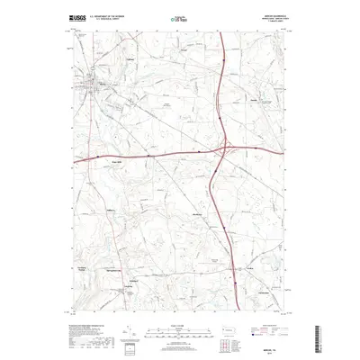
2019 Map of Mercer
USGS Topo · Published 2019About this map
The Mercer County Courthouse stands as the central landmark of this area in the late 2010s, anchoring the seat of government amid a landscape of small crossroads settlements and winding watercourses. This territory is marked by the convergence of Neshannock Creek and its many tributaries, including Cool Spring Creek and Scrubgrass Creek. Genealogists will find a high density of burial grounds, from the Old Mercer Graveyard and Mercer Citizens Cem near the town center to the Saint-Hermenegild Churchyard Cem further east in Pardoe.
Find a feature on this map
141 named features on this map. Tap any name to fly to it.
Don’t see what you’re looking for? This feature index may not catch every label — zoom into the map to look around manually.
Map Details
Editions of this 2019 Mercer Map
This is the sole edition of this map. No revisions or reprints were ever made.
Other maps of this area

1905 · Neshannock
USGS Topo · 1:62,500

1907 · Neshannock
USGS Topo · 1:62,500
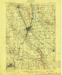
1908 · Shenango
USGS Topo · 1:62,500
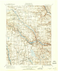
1911 · Stoneboro
USGS Topo · 1:62,500
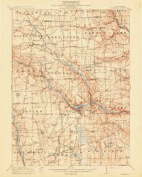
1913 · Stoneboro
USGS Topo · 1:62,500
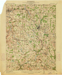
1913 · Mercer
USGS Topo · 1:62,500
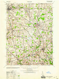
1939 · Mercer
USGS Topo · 1:62,500
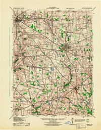
1943 · Mercer
USGS Topo · 1:62,500
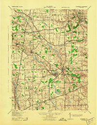
1943 · Stoneboro
USGS Topo · 1:62,500

1950 · Cleveland
USGS Topo · 1:250,000
Featured Places
- Mercer, PA
- Jackson Township, PA
- Pardoe, Findley Township
- East Lackawannock Township, PA
- Five Points, Findley Township