Old Maps of Sharon, Pennsylvania for Genealogy
Trace your family roots with 25 historic maps of Sharon. These high-res maps reveal old neighborhoods, homesites, landmarks, and streets — helping you uncover where your ancestors lived and how the area evolved over time.
- Explore historic neighborhoods: Identify where your relatives may have lived in the 1800s or 1900s.
- Compare maps over time: Trace the changes in streets, buildings, and landmarks for multi-generational research.
- Perfect for genealogy & ancestry research: Used by family historians and researchers to map out lineage and migration.
These maps are an incredible resource for exploring your personal connection to Sharon's past.
Sharon, PA maps
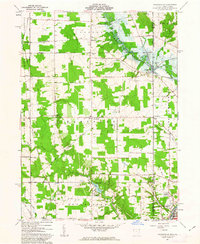
(25)- 1905 Map of Neshannock, 1960 Print
 1905 Neshannock1960 Print · USGSNear the Pennsylvania-Ohio border after the turn of the century, the river valleys were heavy with steam rail and industry. Researchers can trace historic station stops like Skidmore Eastbrook Sta and local landmarks like the White Chapel or Neshannock Falls.
 - 1906 Map of Youngstown, 1958 Print
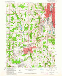
 1906 Youngstown1958 Print · USGSThe Mahoning Valley's industrial heartland is caught at its early twentieth-century peak, showing the massive rail and steel infrastructure at the state border. Researchers can trace the lineage of local neighborhoods and schools like Hell Street School, Idora Park, and Tibbetts Corners.
 - 1907 Map of Neshannock
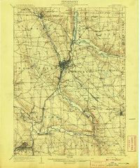
 1907 Neshannock1907 Print · USGSMercer and Lawrence counties are shown here at the height of the steam and electric rail era. Genealogists and local historians can trace family-named landmarks like Books Woods School, Mathews School, and Fayetteville Fay PO.5 unique versions available
 - 1907 Map of Kinsman, 1940 Print
 1907 Kinsman1940 Print · USGSEastern Trumbull County thrived at the start of the century as a vital crossroads of Ohio and Pennsylvania rail lines. Local historians can trace the foundations of Kinsman, Orangeville, and the remote State Line Church during the height of the steam rail era.2 unique versions available
 - 1908 Map of Shenango
 1908 Shenango1908 Print · USGSMercer County at the height of the steam era reveals a landscape defined by an intricate network of competing rail lines and rural hamlets. Genealogists can trace family roots through numerous country schools like Ray School and churches such as Goodhope Church.5 unique versions available
 - 1908 Map of Youngstown, 1937 Print
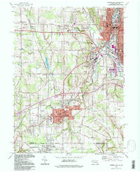
 1908 Youngstown1937 Print · USGSThe Mahoning Valley at the height of its industrial boom is defined by a massive concentration of rail lines and riverfront steel towns. Genealogists and historians can trace the footprint of early neighborhood schools like Bell School, find the original layout of Idora Park, and locate vanished rail stops along the ERIE RAILROAD.2 unique versions available
 - 1950 Map of Cleveland
 1950 Cleveland1950 Print · USGSCovers Sharon, including Cleveland, Akron, and other nearby areas
 - 1954 Map of Sharon West, 1956 Print
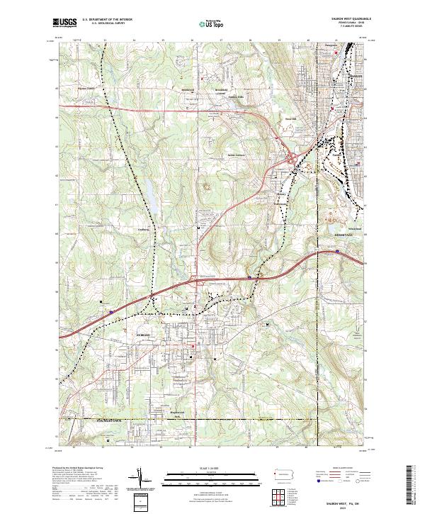
 1954 Sharon West1956 Print · USGSThe industrial heart of the Ohio-Pennsylvania border comes alive in the mid-1950s, centered on the bustling rail hubs and river towns. Researchers can trace family history through the neighborhoods of Hubbard, locate the Slope Ch, or study the grounds of Oakwood Cem.
 - 1956 Map of Cleveland, 1967 Print
 1956 Cleveland1967 Print · USGSNortheast Ohio and Western Pennsylvania are shown at their industrial height during the mid-fifties, from the steel mills to the lakeshore. Researchers can trace the massive Ravenna Arsenal, the Ohio Turnpike, and vanished rail sidings of the B & O RR.3 unique versions available
 - 1958 Map of Sharpsville, 1959 Print
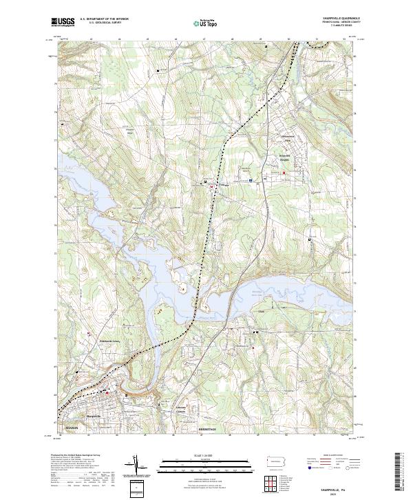
 1958 Sharpsville1959 Print · USGSMercer County's river valley and rail networks are captured here in the late fifties as suburban growth meets long-standing rural townships. Researchers can pinpoint family history at Fell Cem, local schools like Pebly Sch, and the industrial corridors of the Erie railroad.5 unique versions available
 - 1958 Map of Sharon East, 1960 Print
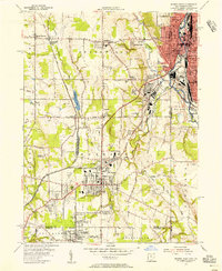
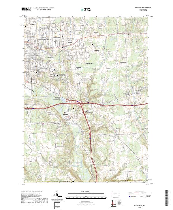
 1958 Sharon East1960 Print · USGSMercer County during the late fifties shows the steady outward growth of Sharon and Farrell into the surrounding townships. Genealogists and local historians can trace family locations through numerous sites like Morefield Cem, Township High Sch, and the West Middlesex Airport.5 unique versions available
 - 1961 Map of Orangeville, 1963 Print
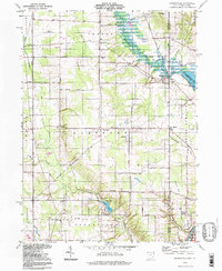
 1961 Orangeville1963 Print · USGSThe Trumbull County borderlands and the village of Orangeville appear here in the early sixties as the Shenango River Reservoir began to reshape the valley. Genealogists and local historians can trace family locations near Artherholt Cem, the Sharon Speedway, and the Erie-Lackawanna rail lines.4 unique versions available
 - 1962 Map of Cleveland
 1962 Cleveland1962 Print · USGSNortheast Ohio and the Pennsylvania borderlands appear here during the industrial peak of the early sixties. Genealogists and historians can trace the expansive rail lines of the Nickel Plate Road and the growth of suburbs from Parma to Lyndhurst.
 - 1962 Map of Sharon West, 1964 Print
 1962 Sharon West1964 Print · USGSThe industrial corridor of the Ohio-Pennsylvania state line comes alive in the early sixties as manufacturing hubs like Sharon and Farrell thrive. Researchers can trace family sites at St Patricks Cemetery or locate vanishing rail stops like Brookfield Station.4 unique versions available
 - 1986 Map of Youngstown, 1988 Print
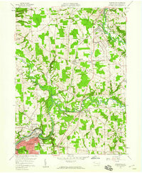
 1986 Youngstown1988 Print · USGSThe industrial corridor of the Mahoning Valley and the collegiate towns of Western Pennsylvania are captured here in the mid-eighties. Researchers can trace the rail lines of the Conrail network or locate historical sites like Churchill and Crown Hill Cem.2 unique versions available
 - 1994 Map of Sharon West, 1997 Print
 1994 Sharon West1997 Print · USGSThe industrial heart of the Shenango Valley is captured here during the 1990s, illustrating the dense rail and river networks of the Ohio-Pennsylvania state line. Researchers can trace family sites from Oakwood Cem to St Patricks Sch and the streets of Hubbard.
 - 1994 Map of Orangeville, 1997 Print
 1994 Orangeville1997 Print · USGSThe Ohio-Pennsylvania state line near Orangeville is captured here in the mid-1990s, showcasing a rural landscape of creek valleys and small settlements. Researchers can trace family sites like St Marys Cemetery and local landmarks like the Sharon Speedway.
 - 2010 Map of Orangeville, 2010 Print
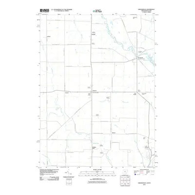 2010 Orangeville2010 Print · USGSCovers Sharon, including Hermitage, Brookfield Township, and other nearby areas
 - 2013 Map of Orangeville, 2013 Print
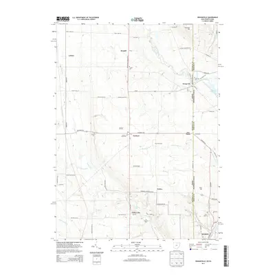 2013 Orangeville2013 Print · USGSCovers Sharon, including Hermitage, Brookfield Township, and other nearby areas
 - 2016 Map of Orangeville, 2016 Print
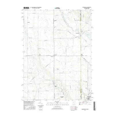 2016 Orangeville2016 Print · USGSCovers Sharon, including Hermitage, Brookfield Township, and other nearby areas
 - 2019 Map of Orangeville, 2019 Print
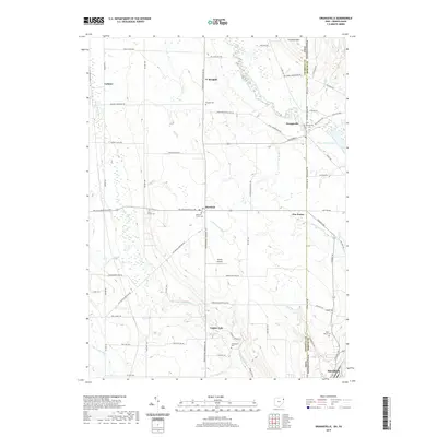 2019 Orangeville2019 Print · USGSCovers Sharon, including Hermitage, Brookfield Township, and other nearby areas
 - 2023 Map of Sharpsville, 2023 Print
 2023 Sharpsville2023 Print · USGSSharpsville and the Shenango River valley appear here in their modern context, showing a landscape defined by the expansive Shenango River Lake. Researchers can trace local lineages through numerous burial sites like Riverside Cem, Transfer Cem, and Fell Cem.
 - 2023 Map of Sharon West, 2023 Print
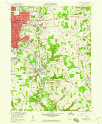
 2023 Sharon West2023 Print · USGSThe industrial borderlands of eastern Ohio and western Pennsylvania come alive in this detailed record of the early twenty-first century. Researchers can locate numerous family burial sites like Old North Cem and Corner House Cem or trace the civic footprint of the Trumbull County Courthouse - Eastern District.
 - 2023 Map of Sharon East, 2023 Print
 2023 Sharon East2023 Print · USGSThe industrial Shenango River valley and its surrounding ridges come into focus in this contemporary record of Mercer County. Researchers can locate numerous ethnic religious sites like Holy Trinity Hungarian Roman Catholic Cem and family landmarks near Keel Ridge.
 - 2023 Map of Orangeville, 2023 Print
 2023 Orangeville2023 Print · USGSThe Ohio-Pennsylvania state line corridor near Orangeville is captured in this recent survey, showcasing a landscape of rural hamlets and creek valleys. Researchers can trace local lineages through Artherholt Cem or explore the geography around Yankee Lake and Hartford.
End of results
Showing maps 1-25 of 25
Top cities near Sharon
- Youngstown historical maps
- Boardman historical maps
- Weathersfield Township historical maps
- New Castle historical maps
- Howland Township historical maps
- Niles historical maps
See more
Frequently asked questions
- What are the different types of historical maps available for Sharon?
- What is the oldest map of Sharon?
- Where can I purchase historical maps of Sharon for my home or office?
- Where can I download high-res historical maps of Sharon?
- Are there historical topographic maps available for Sharon?
- Is there historical aerial imagery available for Sharon?
- Where are historical maps of Sharon sourced from?