Old Maps of Price Township, Pennsylvania for Hiking & Exploration
Hike through history with 29 historic maps of Price Township. Explore old trails, ghost towns, and forgotten backroads — perfect for outdoor adventurers and local explorers.
- Rediscover forgotten places: Map out old mining camps, roads, and footpaths that no longer exist on modern maps.
- Layer with modern tools: Combine with LiDAR or satellite views to plan hikes through historical terrain.
- Made for exploration: Popular among hikers, overlanders, and local history lovers.
Use these maps to find adventure and explore the hidden past of Price Township.
Price Township, PA maps
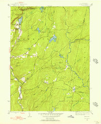
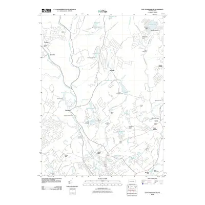
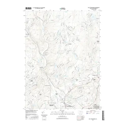
(29)- 1924 Map of Bushkill
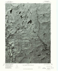
 1924 Bushkill1924 Print · USGSThe Pennsylvania and New Jersey borderlands come to life in the mid-twenties, showing a landscape of small school districts and traditional river crossings. Researchers can locate family landmarks like Marshall Falls, trace the Delaware Lackawanna and Western rail line, and find old sites like Smoky Hill School.
 - 1943 Map of Bushkill
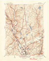
 1943 Bushkill1943 Print · USGSMonroe County and the Delaware River valley are captured in the early 1940s during a time of rural persistence and local industry. Genealogists and historians can locate family landmarks like Dimicks Ferry, St Thomas Chapel, and the vanished sites of Craig Meadows.2 unique versions available
 - 1943 Map of Skytop, 1956 Print
 1943 Skytop1956 Print · USGSMonroe County in the early 1940s is shown as a landscape of remote mountain camps and private clubs. Genealogists and historians can trace family locations near McComas Chapel, Skytop, and the numerous seasonal sites like Camp Canadensis and Camp Girard.4 unique versions available
 - 1944 Map of East Stroudsburg, 1956 Print
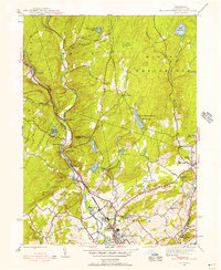 1944 East Stroudsburg1956 Print · USGSEast Stroudsburg and the surrounding Pocono townships are captured here in the mid-1940s, a landscape defined by the winding Brodhead Creek and the busy Delaware Lackawanna and Western rail line. Researchers can trace rural landmarks from Lesoine Sch to the Franklin Hill Cem and the early Pipher Airport.6 unique versions available
 - 1947 Map of East Stroudsburg
 1947 East Stroudsburg1947 Print · USGSThe Pocono foothills around the time of the post-war boom reveal a network of mountain villages and valley creeks. Genealogists and local historians can locate rural landmarks like Beakleyville Ch, the Boise Sch, and the Pipher Airport.2 unique versions available
 - 1947 Map of Skytop
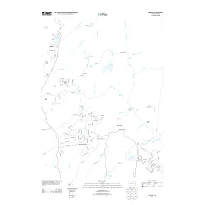
 1947 Skytop1947 Print · USGSThe high Poconos were transitioning into a major recreational hub after the war, centered around private clubs and summer camps. Genealogists and historians can locate family landmarks like McComas Chapel or trace the early boundaries of Camp Girard and the Hiawatha Club.2 unique versions available
 - 1950 Map of Scranton, 1952 Print
 1950 Scranton1952 Print · USGSMid-century Northeast Pennsylvania and the Hudson Valley come alive in this survey of the tri-state region. Genealogists and historians can trace the dense rail networks of the Erie RR and DL&W RR between industrial hubs like Scranton and Wilkes-Barre.
 - 1953 Map of Scranton
 1953 Scranton1953 Print · USGSNortheastern Pennsylvania and the Catskills are shown in great detail during the early fifties, a time when rail lines and river valleys dictated the region's growth. Genealogists and historians can trace the industrial hearts of Scranton and Wilkes-Barre or locate remote landmarks like High Point and Lake Wallenpaupack.
 - 1959 Map of Scranton
 1959 Scranton1959 Print · USGSThe northern coalfields and the Hudson Valley meet in this mid-century survey of the Pennsylvania and New York borderlands. Genealogists and historians can trace the intricate rail networks of the Erie Railroad and the vast waters of Lake Wallenpaupack.2 unique versions available
 - 1959 Map of Pocono
 1959 Pocono1959 Print · USGSThe Pocono Mountains region is captured here in the late fifties, showcasing its evolution from a railway-dependent timber and ice landscape to a premier resort destination. Researchers can locate dozens of country schoolhouses like Maplewood Sch and trace the paths of the Erie RR through Hawley and Kimbles.
 - 1962 Map of Scranton, 1977 Print
 1962 Scranton1977 Print · USGSThe industrial heart of eastern Pennsylvania and the New York Catskills are captured here in the early sixties. Genealogists and historians can trace the dense valley settlements from Scranton to Wilkes-Barre and the rail lines of the Erie Lackawanna Railroad.2 unique versions available
 - 1965 Map of Scranton
 1965 Scranton1965 Print · USGSThe tri-state highlands of Pennsylvania, New York, and New Jersey come alive in the mid-sixties as industry and recreation converge. Trace the intricate rail lines of the Erie Lackawanna RR or locate landmarks like the U S Military Academy.2 unique versions available
 - 1976 Map of East Stroudsburg, 1978 Print
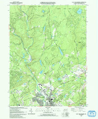
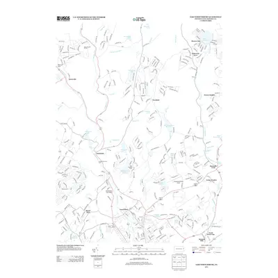
 1976 East Stroudsburg1978 Print · USGSMonroe County settlements and forest corridors appear in sharp detail through this mid-seventies aerial perspective. Genealogists and local historians can pinpoint exact building locations in East Stroudsburg and trace old routes to Analomink and Wooddale.
 - 1976 Map of Skytop, 1978 Print
 1976 Skytop1978 Print · USGSMonroe County is seen from the air in the mid-seventies, showing the literal ground cover and settlement patterns of the Poconos. Researchers can trace the wooded shorelines of Browns Lake and the rural surroundings of Skytop and Canadensis.
 - 1986 Map of Scranton
 1986 Scranton1986 Print · USGSNortheastern Pennsylvania in the mid-eighties shows an era of transition between its deep-rooted mining history and modern transit growth. Researchers can trace the industrial footprint of a Strip Mine, locate the Tobyhanna Army Depot, or find family sites near St Marys Cem and Wilkes College.2 unique versions available
 - 1993 Map of East Stroudsburg
 1993 East Stroudsburg1993 Print · USGSThe Pennsylvania Poconos in the early nineties show a landscape of growing mountain communities and secluded lakes. Genealogists can trace family names at Mt Zion Ch or explore the streets of East Stroudsburg and the settlement at Analomink.
 - 1994 Map of Skytop, 1995 Print
 1994 Skytop1995 Print · USGSMonroe and Pike Counties were centers for forest recreation and mountain retreats in the mid-1990s. Researchers can trace old woods roads and find family landmarks like the McComas Cem and early camp sites at Lake Lenape or Otter Lake.
 - 1997 Map of Skytop, 2000 Print
 1997 Skytop2000 Print · USGSMonroe and Pike Counties are shown here during the late twentieth century, when this region of the Poconos was defined by its vast state forests and mountain retreats. Researchers can trace land use at Skytop, locate the McComas Cem, and find old camps like Camp William Penn.
 - 1999 Map of East Stroudsburg, 2002 Print
 1999 East Stroudsburg2002 Print · USGSThe Pocono foothills come alive in the late nineties, showing a landscape defined by the winding Brodhead Creek and the Erie Lackawanna RR. Trace local history through landmarks like Mt Zion Ch, the Gravel Pit, and the Alpine Mtn Ski Area.
 - 2010 Map of Skytop, 2010 Print
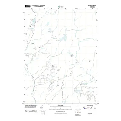 2010 Skytop2010 Print · USGSCovers Price Township, including Greene Township, Middle Smithfield Township, and other nearby areas
 - 2010 Map of East Stroudsburg, 2010 Print
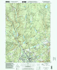
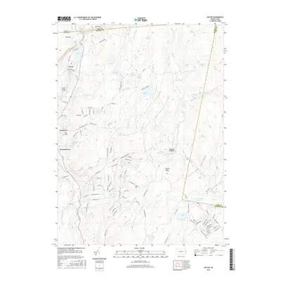
 2010 East Stroudsburg2010 Print · USGSCovers Price Township, including Middle Smithfield Township, Henryville, and other nearby areas
 - 2013 Map of Skytop, 2013 Print
 2013 Skytop2013 Print · USGSCovers Price Township, including Greene Township, Middle Smithfield Township, and other nearby areas
 - 2013 Map of East Stroudsburg, 2013 Print
 2013 East Stroudsburg2013 Print · USGSCovers Price Township, including Middle Smithfield Township, Henryville, and other nearby areas
 - 2016 Map of Skytop, 2016 Print
 2016 Skytop2016 Print · USGSCovers Price Township, including Greene Township, Middle Smithfield Township, and other nearby areas
 - 2016 Map of East Stroudsburg, 2016 Print
 2016 East Stroudsburg2016 Print · USGSCovers Price Township, including Middle Smithfield Township, Henryville, and other nearby areas
Showing maps 1-25 of 29
Top cities near Price Township
- East Stroudsburg historical maps
- Tobyhanna historical maps
- Blairstown historical maps
- Stroudsburg historical maps
- Blooming Grove Township historical maps
- Knowlton Township historical maps
See more
Top neighborhoods of Price Township
Frequently asked questions
- What are the different types of historical maps available for Price Township?
- What is the oldest map of Price Township?
- Where can I purchase historical maps of Price Township for my home or office?
- Where can I download high-res historical maps of Price Township?
- Are there historical topographic maps available for Price Township?
- Is there historical aerial imagery available for Price Township?
- Where are historical maps of Price Township sourced from?