
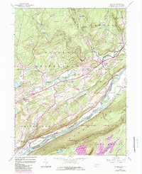
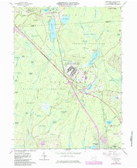
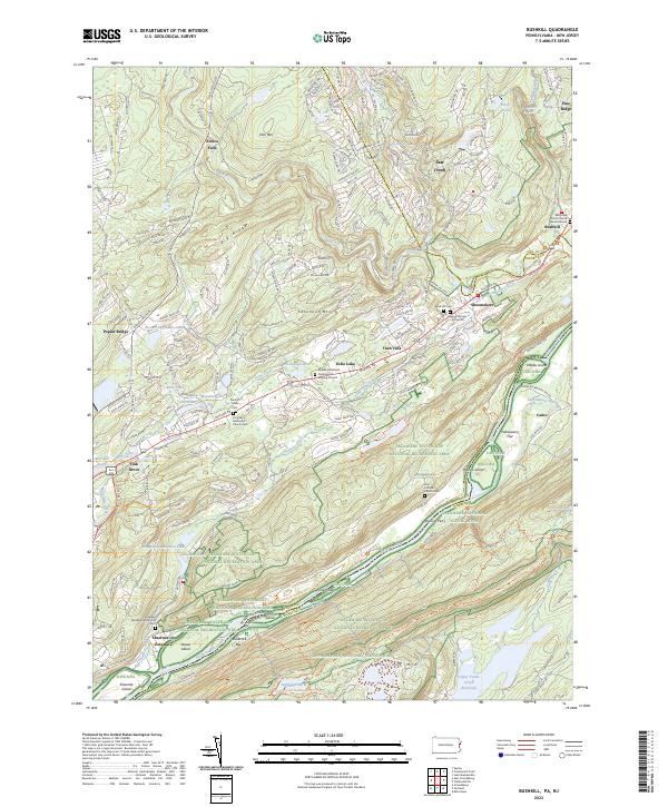
1924 Map of Bushkill
USGS Topo · Published 1924About this map
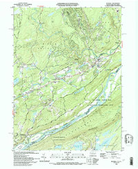
Brodhead Creek and its numerous tributaries dominate this mid-1920s landscape, reflecting a region defined by complex hydrology and early educational development. Numerous rural schoolhouses, including Lesoine School, Smoky Hill School, and Yetter School, are distributed across the terrain, marking the social centers of scattered communities like Henryville and Wooddale. The map captures the industrial and recreational character of the era, where the Delaware Lackawanna and Western railroad corridor contrasts with private social organizations such as the Mishawaka Club and Hiawatha Club. Along the Delaware River, traditional river crossings like Dimicks Ferry and Walkers Ferry persist, illustrating the transition between older ferry-based transport and the emerging State Highway system that began to reorient the local geography near East Stroudsburg.
Find a feature on this map
150 named features on this map. Tap any name to fly to it.
Don’t see what you’re looking for? This feature index may not catch every label — zoom into the map to look around manually.
Map Details
Editions of this 1924 Bushkill Map
This is the sole edition of this map. No revisions or reprints were ever made.
Historical Maps of Blairstown Through Time
41 maps found

1891 Wallpack
Monroe County, PA
1893 Wallpack
Monroe County, PA

1919 Pocono
Monroe County, PA

1921 Pocono
Monroe County, PA
1923 Pocono
Monroe County, PA
1924 Bushkill
Monroe County, PA
1943 Bushkill
Monroe County, PA

1943 Pocono
Monroe County, PA
1943 Skytop
Monroe County, PA
1944 Bushkill
Monroe County, PA
1947 Bushkill
Monroe County, PA

1947 Skytop
Monroe County, PA

1959 Pocono
Monroe County, PA
1965 Blakeslee
Monroe County, PA
1965 Thornhurst
Monroe County, PA
1965 Tobyhanna
Monroe County, PA
1966 Buck Hill Falls
Monroe County, PA
1976 Blakeslee
Monroe County, PA
1976 Broadheadsville
Monroe County, PA

1976 Buck Hill Falls
Monroe County, PA
1976 Bushkill
Monroe County, PA
1976 Skytop
Monroe County, PA
1976 Thornhurst
Monroe County, PA

1976 Tobyhanna
Monroe County, PA

1992 Blakeslee
Monroe County, PA
1993 Bushkill
Monroe County, PA

1994 Buck Hill Falls
Monroe County, PA

1994 Skytop
Monroe County, PA

1994 Tobyhanna
Monroe County, PA

1997 Buck Hill Falls
Monroe County, PA

1997 Skytop
Monroe County, PA

1997 Thornhurst
Monroe County, PA
1999 Blakeslee
Monroe County, PA
1999 Bushkill
Monroe County, PA
1999 Tobyhanna
Monroe County, PA
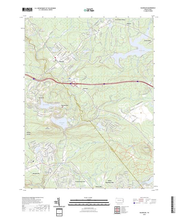
2023 Blakeslee
Monroe County, PA
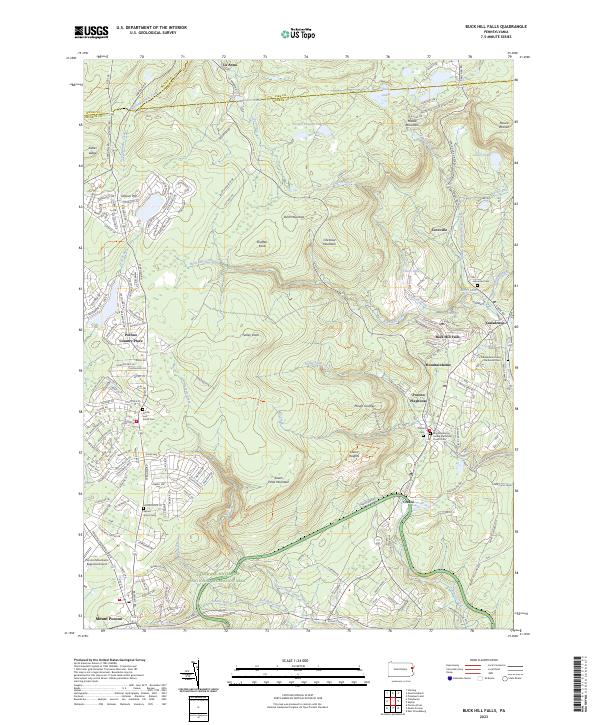
2023 Buck Hill Falls
Monroe County, PA
2023 Bushkill
Monroe County, PA
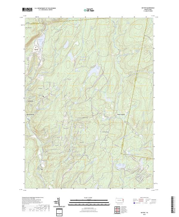
2023 Skytop
Monroe County, PA
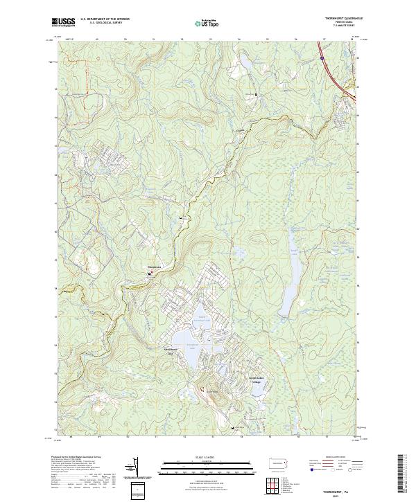
2023 Thornhurst
Monroe County, PA
2023 Tobyhanna
Monroe County, PA
Featured Locations
- Blairstown, NJ
- Hardwick Township, NJ
- Delaware Township, PA
- Lehman Township, PA
- Saw Creek, Lehman Township